
$1,100 / Month
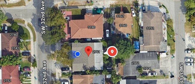
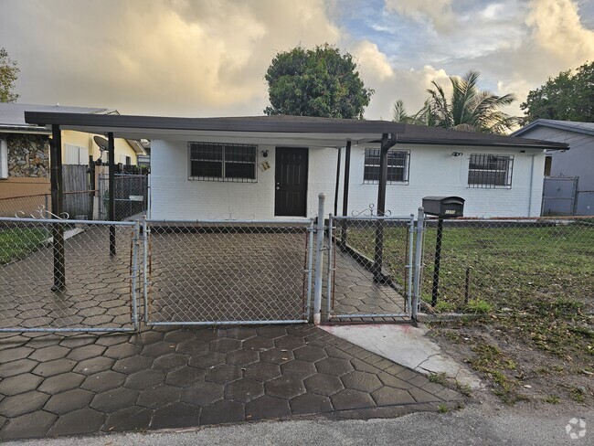
1424 SW 21st St
Miami, FL 33145
2 Weeks Ago
Favorites
1424 SW 21st St

Favorites
Check Back Soon for Upcoming Availability
| Beds | Baths | Average SF |
|---|---|---|
| 1 Bedroom 1 Bedroom 1 Br | 1 Bath 1 Bath 1 Ba | — |
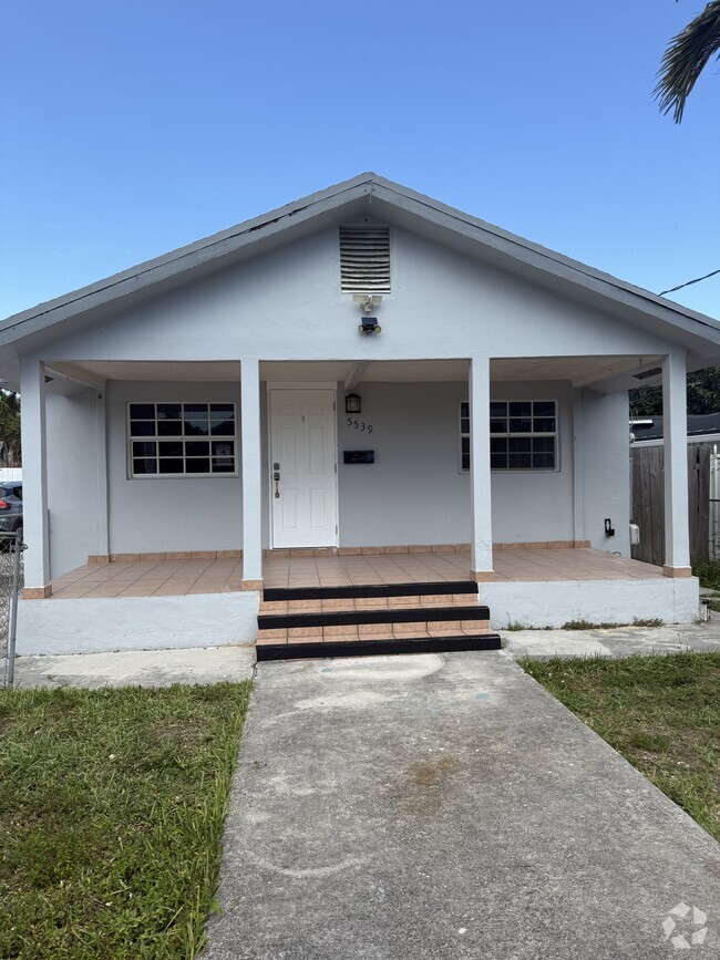
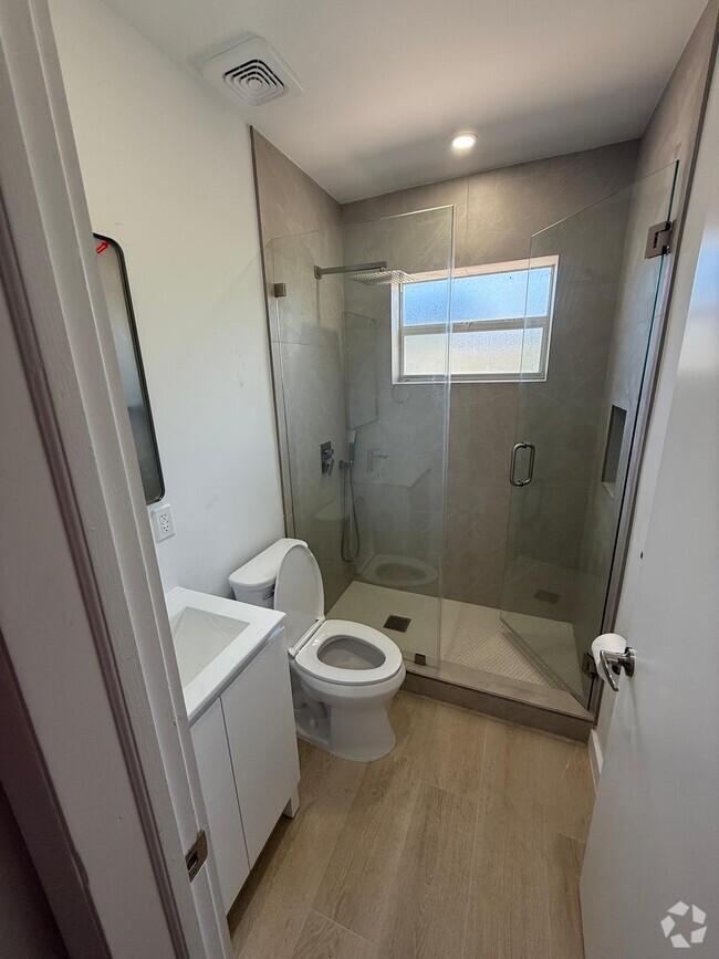
About This Property
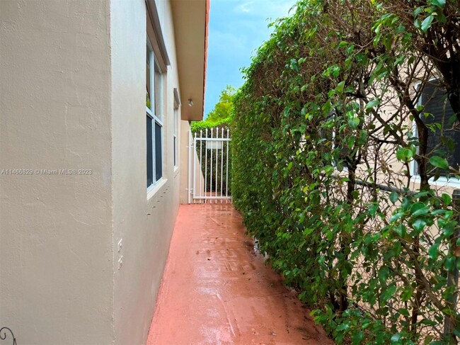
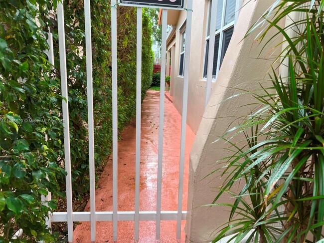
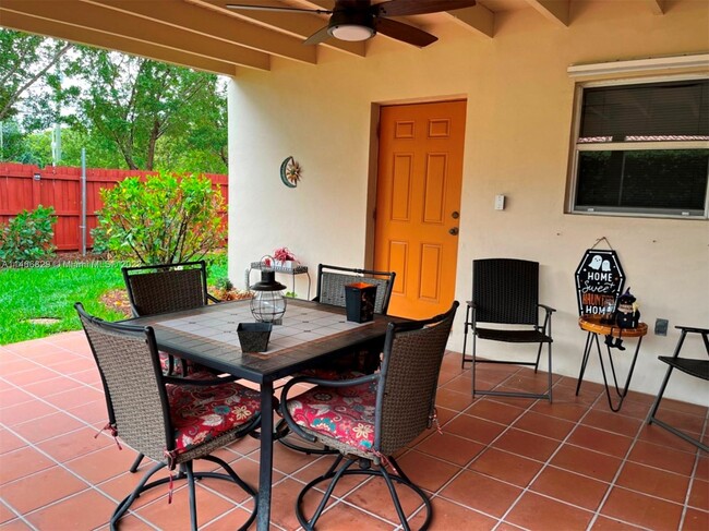
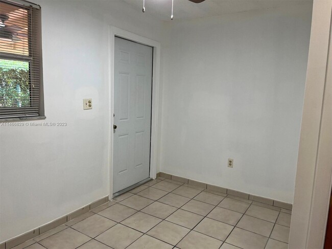
Lovely efficiency in the back of a house, private entrace, 1 parking space. Utilities included.
1424 SW 21st St is a house located in Miami/Dade County and the 33145 ZIP Code. This area is served by the Miami-Dade County Public Schools attendance zone.
House Features
- Cable Ready
Fees and Policies
The fees below are based on community-supplied data and may exclude additional fees and utilities.
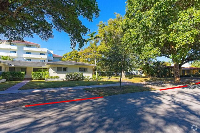
Location
Get Directions
Located just southwest of Brickell, Coral Way is a charming neighborhood brimming with historic character and banyan-tree-lined streets. Coral Way blends residential tranquility with commercial convenience, offering a variety of luxury apartments and condos available for rent, as well as a host of restaurants, markets, and shops on several major thoroughfares.
In addition to its unique charm, Coral Way is revered for its central location between Downtown Miami, Brickell, Coconut Grove, and Coral Gables. Residents enjoy quick access to desirable amenities such as the Venetian Pool, Vizcaya Museum and Gardens, the Shops at Merrick Park, the University of Miami, Historic Virginia Key Beach Park, and Crandon Park. Commuting from Coral Way is a breeze with access to the Metrorail, Interstate 95, and U.S. Route 1.
Learn more about living in Coral WayBelow are rent ranges for similar nearby apartments
| Beds | Average Size | Lowest | Typical | Premium |
|---|---|---|---|---|
| Studio Studio Studio | 526-527 Sq Ft | $1,099 | $2,032 | $4,705 |
| 1 Bed 1 Bed 1 Bed | 864 Sq Ft | $1,300 | $2,699 | $5,723 |
| 2 Beds 2 Beds 2 Beds | 1188-1189 Sq Ft | $1,895 | $3,647 | $9,999 |
| 3 Beds 3 Beds 3 Beds | 1755 Sq Ft | $2,800 | $5,631 | $19,800 |
| 4 Beds 4 Beds 4 Beds | 3009 Sq Ft | $2,050 | $11,158 | $42,000 |
Amenities
- Cable Ready
Education
| Colleges & Universities | Distance | ||
|---|---|---|---|
| Colleges & Universities | Distance | ||
| Drive: | 5 min | 2.2 mi | |
| Drive: | 8 min | 3.4 mi | |
| Drive: | 8 min | 3.5 mi | |
| Drive: | 7 min | 3.7 mi |
1424 SW 21st St is within 5 minutes or 2.2 miles from Miami Dade Coll., InterAm.. It is also near Univ. of Miami, Uhealth and Miami Dade College, Wolfson.
Schools


Public Elementary & Middle School
Grades PK-8
1,064 Students
Attendance Zone
Public Middle School
Grades 6-8
1,296 Students
Attendance Zone
Public High School
Grades 9-12
2,905 Students
Attendance Zone
Private Elementary & Middle School
Grades PK-8
385 Students
Nearby
Private Elementary School
Grades PK-3
34 Students
Nearby
Private Elementary School
Grades PK-K
35 Students
Nearby
School data provided by
 The GreatSchools Rating helps parents compare schools within a state based on a variety of school quality indicators and provides a helpful picture of how effectively each school serves all of its students. Ratings are on a scale of 1 (below average) to 10 (above average) and can include test scores, college readiness, academic progress, advanced courses, equity, discipline and attendance data. We also advise parents to visit schools, consider other information on school performance and programs, and consider family needs as part of the school selection process.
View GreatSchools Rating Methodology
View GreatSchools Rating Methodology
Transportation options available in Miami include Financial District, located 2.1 miles from 1424 SW 21st St. 1424 SW 21st St is near Miami International, located 11.4 miles or 22 minutes away, and Fort Lauderdale/Hollywood International, located 25.8 miles or 37 minutes away.
| Transit / Subway | Distance | ||
|---|---|---|---|
| Transit / Subway | Distance | ||
|
|
Drive: | 5 min | 2.1 mi |
|
|
Drive: | 5 min | 2.1 mi |
|
|
Drive: | 5 min | 2.2 mi |
|
|
Drive: | 5 min | 2.3 mi |
|
|
Drive: | 6 min | 2.5 mi |
| Commuter Rail | Distance | ||
|---|---|---|---|
| Commuter Rail | Distance | ||
|
|
Drive: | 3 min | 1.7 mi |
|
|
Drive: | 3 min | 1.8 mi |
|
|
Drive: | 5 min | 2.3 mi |
|
|
Drive: | 6 min | 3.3 mi |
|
|
Drive: | 8 min | 4.0 mi |
| Airports | Distance | ||
|---|---|---|---|
| Airports | Distance | ||
|
Miami International
|
Drive: | 22 min | 11.4 mi |
|
Fort Lauderdale/Hollywood International
|
Drive: | 37 min | 25.8 mi |
Time and distance from 1424 SW 21st St.
| Shopping Centers | Distance | ||
|---|---|---|---|
| Shopping Centers | Distance | ||
| Drive: | 3 min | 1.3 mi | |
| Drive: | 3 min | 1.3 mi | |
| Drive: | 3 min | 1.5 mi |
1424 SW 21st St has 3 shopping centers within 1.5 miles, which is about a 3-minute drive. The miles and minutes will be for the farthest away property.
| Parks and Recreation | Distance | ||
|---|---|---|---|
| Parks and Recreation | Distance | ||
|
Miami Science Museum - Closed
|
Drive: | 3 min | 1.6 mi |
|
Vizcaya Museum and Gardens
|
Drive: | 5 min | 1.8 mi |
|
The Barnacle Historic State Park
|
Drive: | 5 min | 2.8 mi |
|
The Kampong
|
Drive: | 8 min | 4.1 mi |
|
Miami Children's Museum
|
Drive: | 11 min | 6.1 mi |
1424 SW 21st St has 5 parks within 6.1 miles, including Miami Science Museum - Closed, Vizcaya Museum and Gardens, and The Barnacle Historic State Park.
| Hospitals | Distance | ||
|---|---|---|---|
| Hospitals | Distance | ||
| Drive: | 7 min | 3.3 mi | |
| Drive: | 9 min | 4.7 mi | |
| Drive: | 12 min | 6.0 mi |
1424 SW 21st St has 3 hospitals within 6.0 miles, the nearest is Jackson Health System which is 3.3 miles away and a 7 minute drive.
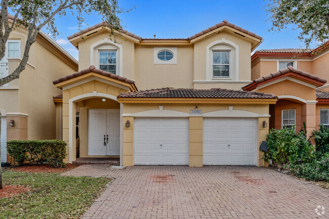
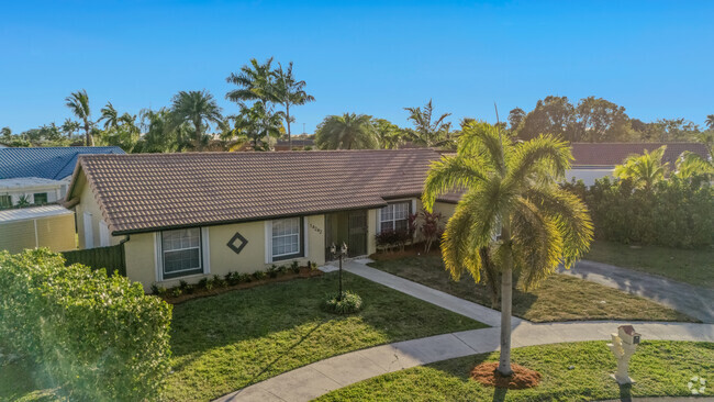
You May Also Like
Similar Rentals Nearby
What Are Walk Score®, Transit Score®, and Bike Score® Ratings?
Walk Score® measures the walkability of any address. Transit Score® measures access to public transit. Bike Score® measures the bikeability of any address.
What is a Sound Score Rating?
A Sound Score Rating aggregates noise caused by vehicle traffic, airplane traffic and local sources
1424 SW 21st St
Miami, FL 33145