1 / 22


| Beds | Baths | Average SF |
|---|---|---|
| 3 Bedrooms 3 Bedrooms 3 Br | 2 Baths 2 Baths 2 Ba | 1,107 SF |
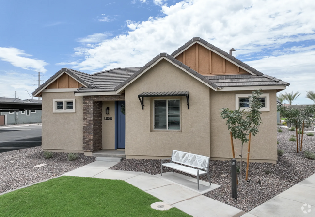
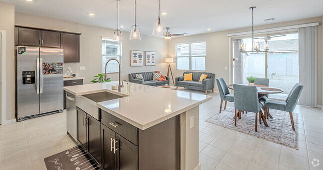
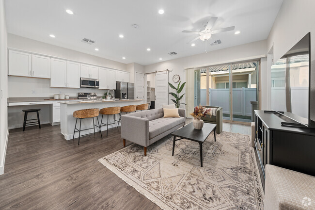
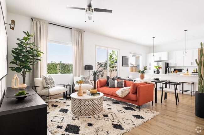
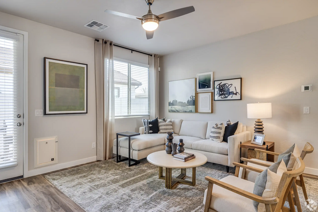
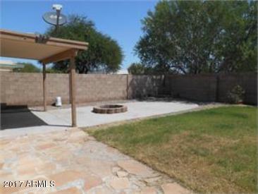
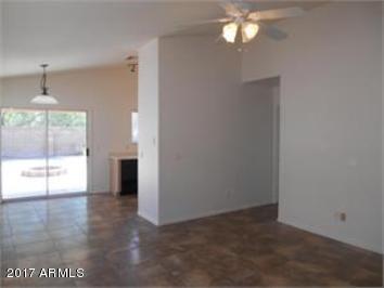
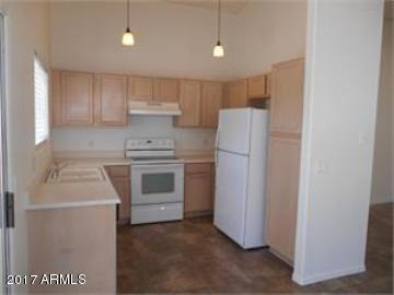
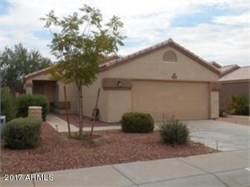
3 br 2 bathcharming,single-story home in the Crimson Mountain neighborhood. This is a popular Courtland floor plan with a great room and vaulted ceilings. Spacious Master Bedroom with a Walk-in Closet. Upgraded tile flooring throughout living areas. Freshly painted interior. Convenient location,near shopping and restaurants. Kyrene Elementary School District. Hurry before this one is gone!
14253 S 47th Pl is a house located in Maricopa County and the 85044 ZIP Code. This area is served by the Kyrene Elementary attendance zone.
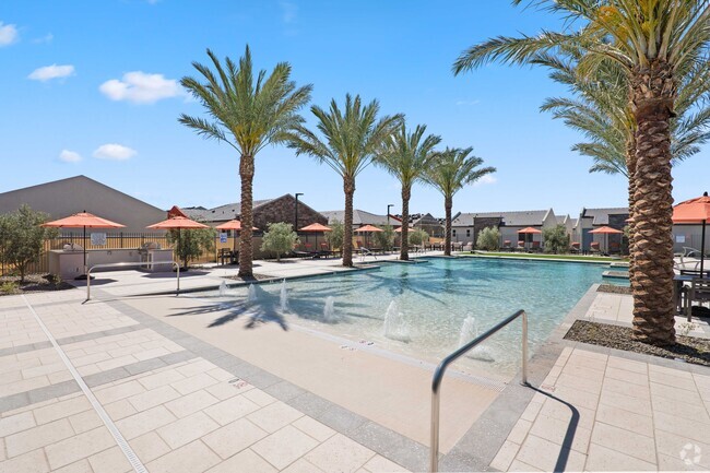
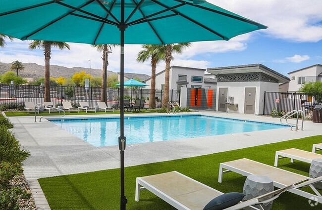
Ahwatukee is your one-stop-shop, housing various retailers, delectable local eateries, and picturesque natural landscapes. This charming neighborhood is situated 13 miles southeast of Phoenix, Arizona, with easy access to major interstates like I-10 and the Phoenix Sky Harbor International Airport.
From Sprouts Farmers Market to PetSmart, Ahwatukee Foothills Towne Center has it all. Try some of the casual bakeries and restaurants such as Nothing Bundt Cakes or RA Sushi after an afternoon of shopping. With numerous shopping centers and various restaurants, you’ll never tire of the available options in Ahwatukee.
Learn more about living in Ahwatukee| Beds | Average Size | Lowest | Typical | Premium |
|---|---|---|---|---|
| Studio Studio Studio | 550 Sq Ft | $1,232 | $1,684 | $2,138 |
| 1 Bed 1 Bed 1 Bed | 778 Sq Ft | $1,189 | $1,731 | $3,603 |
| 2 Beds 2 Beds 2 Beds | 1082 Sq Ft | $1,228 | $1,995 | $4,116 |
| 3 Beds 3 Beds 3 Beds | 1510 Sq Ft | $1,630 | $2,594 | $7,795 |
| 4 Beds 4 Beds 4 Beds | 2513 Sq Ft | $2,395 | $3,489 | $6,999 |
| Colleges & Universities | Distance | ||
|---|---|---|---|
| Colleges & Universities | Distance | ||
| Drive: | 17 min | 9.4 mi | |
| Drive: | 17 min | 10.3 mi | |
| Drive: | 17 min | 10.3 mi | |
| Drive: | 19 min | 11.6 mi |


Transportation options available in Phoenix include Eleventh St/Mill, located 9.8 miles from 14253 S 47th Pl. 14253 S 47th Pl is near Phoenix Sky Harbor International, located 11.7 miles or 19 minutes away, and Phoenix-Mesa Gateway, located 21.5 miles or 31 minutes away.
| Transit / Subway | Distance | ||
|---|---|---|---|
| Transit / Subway | Distance | ||
|
|
Drive: | 15 min | 9.8 mi |
|
|
Drive: | 15 min | 9.9 mi |
|
|
Drive: | 16 min | 10.0 mi |
|
|
Drive: | 16 min | 10.2 mi |
|
|
Drive: | 17 min | 10.5 mi |
| Commuter Rail | Distance | ||
|---|---|---|---|
| Commuter Rail | Distance | ||
|
|
Drive: | 27 min | 19.4 mi |
| Airports | Distance | ||
|---|---|---|---|
| Airports | Distance | ||
|
Phoenix Sky Harbor International
|
Drive: | 19 min | 11.7 mi |
|
Phoenix-Mesa Gateway
|
Drive: | 31 min | 21.5 mi |
Time and distance from 14253 S 47th Pl.
| Shopping Centers | Distance | ||
|---|---|---|---|
| Shopping Centers | Distance | ||
| Walk: | 10 min | 0.5 mi | |
| Walk: | 14 min | 0.8 mi | |
| Walk: | 17 min | 0.9 mi |
| Parks and Recreation | Distance | ||
|---|---|---|---|
| Parks and Recreation | Distance | ||
|
Pecos Park
|
Drive: | 4 min | 1.7 mi |
|
South Mountain Park
|
Drive: | 10 min | 4.5 mi |
|
ASU Center for Meteorite Studies
|
Drive: | 18 min | 10.6 mi |
|
Desert Arboretum Park
|
Drive: | 19 min | 11.2 mi |
|
Camelback Mountain Park
|
Drive: | 25 min | 13.4 mi |
| Hospitals | Distance | ||
|---|---|---|---|
| Hospitals | Distance | ||
| Drive: | 11 min | 6.1 mi | |
| Drive: | 12 min | 6.7 mi | |
| Drive: | 14 min | 7.5 mi |
| Military Bases | Distance | ||
|---|---|---|---|
| Military Bases | Distance | ||
| Drive: | 18 min | 12.5 mi | |
| Drive: | 48 min | 37.0 mi | |
| Drive: | 96 min | 78.2 mi |
What Are Walk Score®, Transit Score®, and Bike Score® Ratings?
Walk Score® measures the walkability of any address. Transit Score® measures access to public transit. Bike Score® measures the bikeability of any address.
What is a Sound Score Rating?
A Sound Score Rating aggregates noise caused by vehicle traffic, airplane traffic and local sources
14253 S 47th Pl
Phoenix, AZ 85044