-
Monthly Rent
$1,900
-
Bedrooms
3 bd
-
Bathrooms
2 ba
-
Square Feet
Details

About This Property
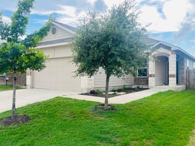
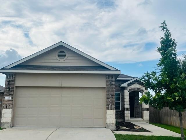
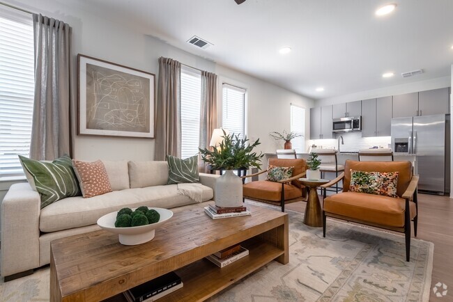
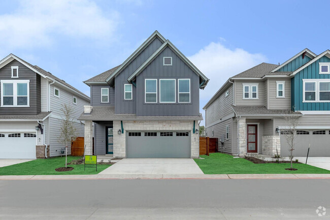
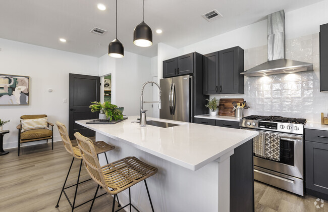
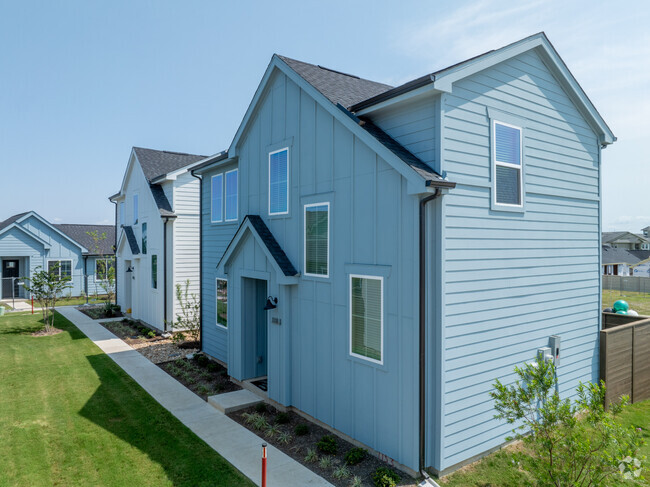
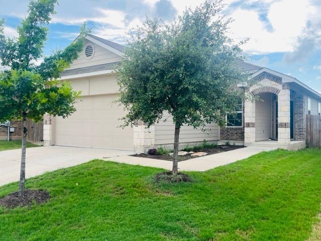
AVAILABLE NOW! One level open floor plan with no neighbors in front or back. Includes Refrigerator, Washer & Dryer. Listing posted by Texas Properties [REALLYO ID 4093530 01112025]
148 Presidential Path is a house located in Williamson County and the 78642 ZIP Code. This area is served by the Liberty Hill Independent attendance zone.
Discover Homeownership
Renting vs. Buying
-
Housing Cost Per Month: $1,900
-
Rent for 30 YearsRenting doesn't build equity Future EquityRenting isn't tax deductible Mortgage Interest Tax Deduction$0 Net Return
-
Buy Over 30 Years$742K - $1.32M Future Equity$337K Mortgage Interest Tax Deduction$58K - $637K Gain Net Return
-
Fees and Policies
The fees below are based on community-supplied data and may exclude additional fees and utilities.
- Dogs Allowed
-
Fees not specified
- Cats Allowed
-
Fees not specified
 This Property
 Available Property
Formed from remnants of small ranching and farming villages, Liberty Hill has transformed into one of the fastest growing communities in the Austin metro area. Residents are drawn to Liberty Hill for its scenic hill-laden landscape, relaxed atmosphere, excellent schools, and abundant opportunities.
Situated between the North and South Forks of the San Gabriel River, Liberty Hill is convenient to all kinds of outdoor adventure. Nearby parks include Canyonlands National Wildlife Refuge, Southwest Williamson County Regional Park, and Pace Bend Park. Liberty Hill is also just a short drive away from Inner Space Cavern.
Shopping options in Liberty Hill range from local stores in town to national retailers in nearby Lakeline Mall and Round Rock Premium Outlets. Metropolitan delights abound in Austin, which is less than an hour’s drive from Liberty Hill. Quick access to Route 29 makes getting around from Liberty Hill easy.
Learn more about living in Liberty Hill| Colleges & Universities | Distance | ||
|---|---|---|---|
| Colleges & Universities | Distance | ||
| Drive: | 24 min | 14.8 mi | |
| Drive: | 21 min | 15.5 mi | |
| Drive: | 30 min | 20.9 mi | |
| Drive: | 33 min | 21.3 mi |
You May Also Like
Similar Rentals Nearby
-
-
-
-
-
-
1 / 18Single-Family Homes 2 Months Free
Pets Allowed Pool In Unit Washer & Dryer Maintenance on site Playground EV Charging Yard
-
1 / 35Single-Family Homes Specials
Pets Allowed Pool In Unit Washer & Dryer Playground
-
-
-
What Are Walk Score®, Transit Score®, and Bike Score® Ratings?
Walk Score® measures the walkability of any address. Transit Score® measures access to public transit. Bike Score® measures the bikeability of any address.
What is a Sound Score Rating?
A Sound Score Rating aggregates noise caused by vehicle traffic, airplane traffic and local sources
