
$2,675 / Month
15 Queensberry St
Boston, MA 02215
2 Weeks Ago
Favorites
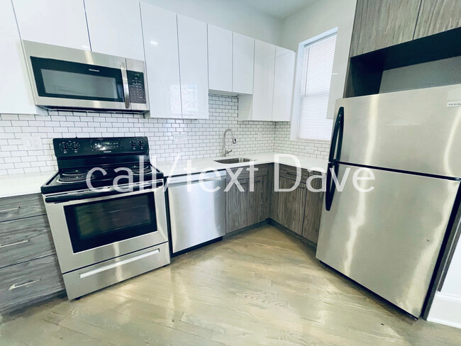
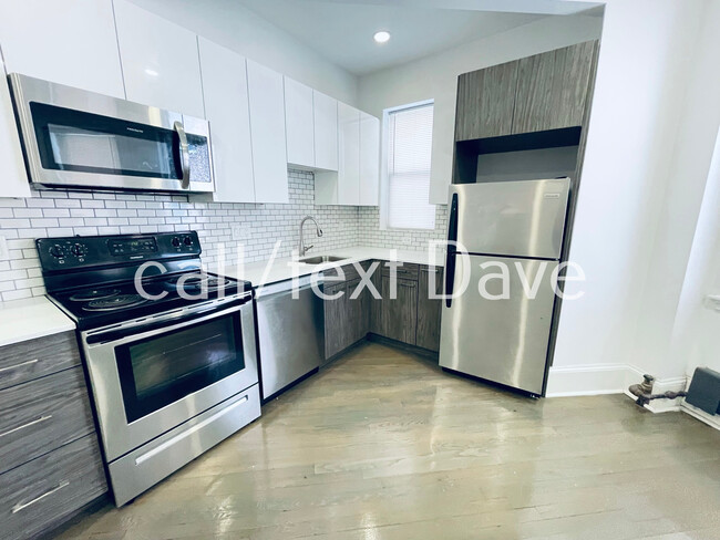
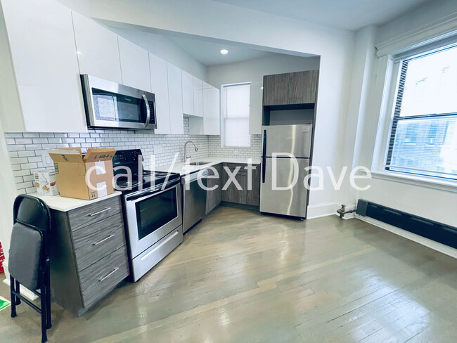
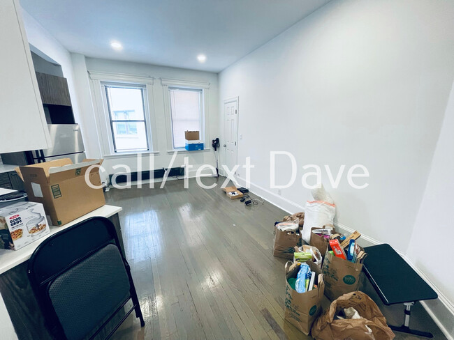
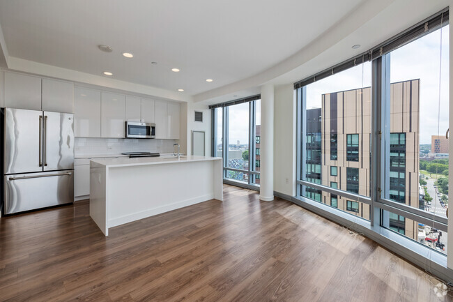
15 Queensberry St Unit 1

Favorites
Check Back Soon for Upcoming Availability
| Beds | Baths | Average SF |
|---|---|---|
| 1 Bedroom 1 Bedroom 1 Br | 1 Bath 1 Bath 1 Ba | 600 SF |
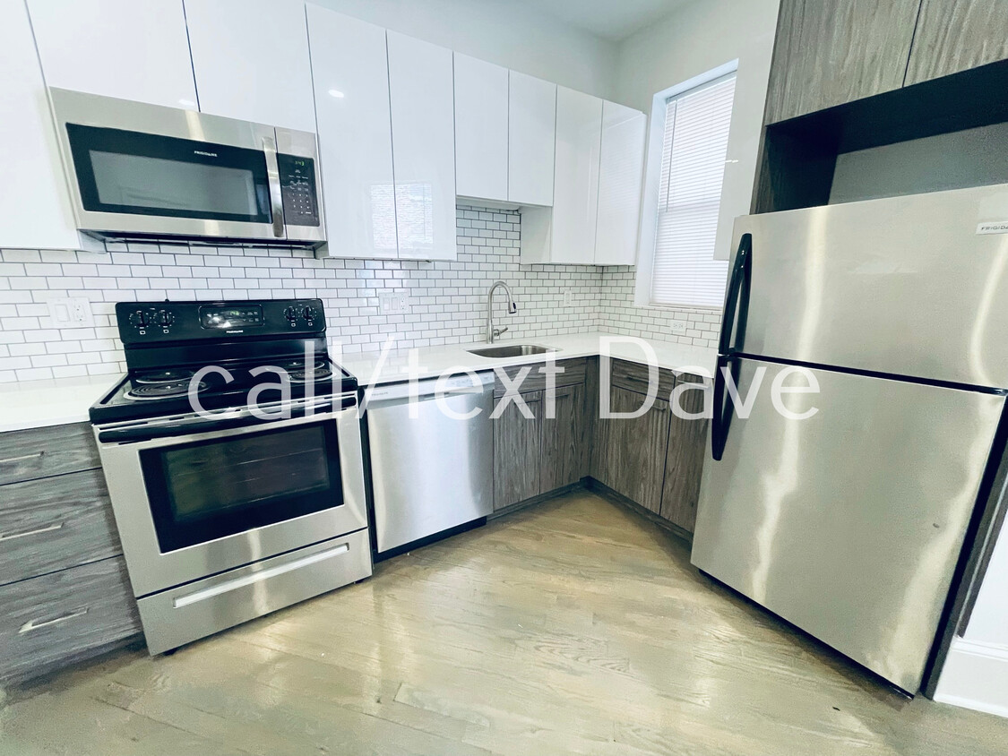
About This Property
The location is absolutely amazing. Centrally located nearby Longwood Medical Area, giving access to multiple hospitals such as Beth Israel Deaconess Medical Center, Boston's Children's Hospital, Brigham and Women's Hospital.and Dana–Farber Cancer Institute. Several train stations (Hynes Conventions is closest), multiple bus lines, and tons of entertainment all within short distance. The Back Bay and Newbury Street & Boylston Street in one direction, and historic Fenway Park in the other. The Emerald Necklace surrounds the area, offering walking and biking paths. There are countless, stores, restaurants, pubs, and more all nearby.
15 Queensberry St is an apartment community located in Suffolk County and the 02215 ZIP Code.
Apartment Features
- Laundry Facilities
Fees and Policies
The fees below are based on community-supplied data and may exclude additional fees and utilities.
- Cats Allowed
-
Fees not specified
-
Weight limit--
-
Pet Limit--
Details
Utilities Included
-
Water
-
Heat
Lease Options
-
12 Months
Property Information
-
9 units
Property Address:
15 Queensberry St,
Boston,
MA
02215
Tree-filled, historic, and packed with educational opportunity, there's no other neighborhood quite like Fenway. The neighborhood may be most well-known for its titular attraction, Fenway Park, home of the Boston Red Sox. However, the area is also renowned for its sprawling greenspace. The name "Fenway" refers to the neighborhood’s lush parkway and tree-filled paths that wind lazily through the area, forming part of Frederick Law Olmsted’s “Emerald Necklace Plan” (a chain of parks throughout Boston). The Fenway opened in 1876, and its route includes the Museum of Fine Arts and the Isabella Steward Gardner Museum.
Learn more about living in FenwayBelow are rent ranges for similar nearby apartments
| Beds | Average Size | Lowest | Typical | Premium |
|---|---|---|---|---|
| Studio Studio Studio | 2337-2338 Sq Ft | $1,600 | $2,561 | $9,424 |
| 1 Bed 1 Bed 1 Bed | 2814-2816 Sq Ft | $1,200 | $3,298 | $9,714 |
| 2 Beds 2 Beds 2 Beds | 3496-3497 Sq Ft | $1,500 | $4,020 | $21,515 |
| 3 Beds 3 Beds 3 Beds | 4030 Sq Ft | $1,425 | $5,038 | $10,390 |
| 4 Beds 4 Beds 4 Beds | 5580-5581 Sq Ft | $4,500 | $7,498 | $12,000 |
Amenities
- Laundry Facilities
Expenses
Utilities Included
Water, Heat
Included
Education
| Colleges & Universities | Distance | ||
|---|---|---|---|
| Colleges & Universities | Distance | ||
| Walk: | 10 min | 0.5 mi | |
| Walk: | 11 min | 0.6 mi | |
| Walk: | 12 min | 0.6 mi | |
| Drive: | 3 min | 1.1 mi |
15 Queensberry St Unit 1 is within 10 minutes or 0.5 mile from Simmons College. It is also near Emmanuel College and Wentworth Inst. of Technology.
Transportation options available in Boston include Northeastern University Station, located 0.5 mile from 15 Queensberry St Unit 1. 15 Queensberry St Unit 1 is near General Edward Lawrence Logan International, located 6.3 miles or 14 minutes away.
| Transit / Subway | Distance | ||
|---|---|---|---|
| Transit / Subway | Distance | ||
|
|
Walk: | 10 min | 0.5 mi |
|
|
Walk: | 10 min | 0.5 mi |
|
|
Walk: | 11 min | 0.6 mi |
|
|
Walk: | 12 min | 0.6 mi |
|
|
Drive: | 4 min | 1.4 mi |
| Commuter Rail | Distance | ||
|---|---|---|---|
| Commuter Rail | Distance | ||
|
|
Walk: | 15 min | 0.8 mi |
|
|
Drive: | 7 min | 1.6 mi |
| Drive: | 5 min | 2.1 mi | |
|
|
Drive: | 7 min | 2.5 mi |
|
|
Drive: | 7 min | 4.0 mi |
| Airports | Distance | ||
|---|---|---|---|
| Airports | Distance | ||
|
General Edward Lawrence Logan International
|
Drive: | 14 min | 6.3 mi |
Time and distance from 15 Queensberry St Unit 1.
| Shopping Centers | Distance | ||
|---|---|---|---|
| Shopping Centers | Distance | ||
| Walk: | 6 min | 0.4 mi | |
| Walk: | 16 min | 0.8 mi | |
| Drive: | 9 min | 5.0 mi |
15 Queensberry St Unit 1 has 3 shopping centers within 5.0 miles, which is about a 9-minute drive. The miles and minutes will be for the farthest away property.
| Parks and Recreation | Distance | ||
|---|---|---|---|
| Parks and Recreation | Distance | ||
|
Charles River Reservation
|
Drive: | 3 min | 1.3 mi |
|
Coit Observatory
|
Drive: | 3 min | 1.7 mi |
|
Boston Public Garden
|
Drive: | 6 min | 1.9 mi |
|
Roxbury Heritage State Park
|
Drive: | 5 min | 1.9 mi |
|
John Fitzgerald Kennedy National Historic Site
|
Drive: | 5 min | 2.2 mi |
15 Queensberry St Unit 1 has 5 parks within 2.2 miles, including Charles River Reservation, Coit Observatory, and Roxbury Heritage State Park.
| Hospitals | Distance | ||
|---|---|---|---|
| Hospitals | Distance | ||
| Walk: | 12 min | 0.7 mi | |
| Drive: | 3 min | 1.2 mi | |
| Drive: | 3 min | 1.6 mi |
15 Queensberry St Unit 1 has 3 hospitals within 1.6 miles, the nearest is Beth Israel Deaconess Medical Center which is 0.7 mile away and a 12 minutes drive.
| Military Bases | Distance | ||
|---|---|---|---|
| Military Bases | Distance | ||
| Drive: | 29 min | 15.1 mi | |
| Drive: | 28 min | 16.1 mi |
15 Queensberry St Unit 1 is 15.1 miles from Hanscom Air Force Base, and is convenient to other military bases, including US Military Reservation.
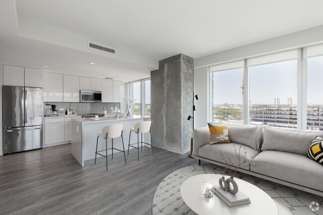
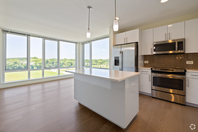
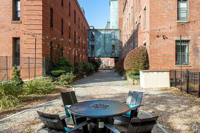
You May Also Like
Similar Rentals Nearby


What Are Walk Score®, Transit Score®, and Bike Score® Ratings?
Walk Score® measures the walkability of any address. Transit Score® measures access to public transit. Bike Score® measures the bikeability of any address.
What is a Sound Score Rating?
A Sound Score Rating aggregates noise caused by vehicle traffic, airplane traffic and local sources
15 Queensberry St
Boston, MA 02215