
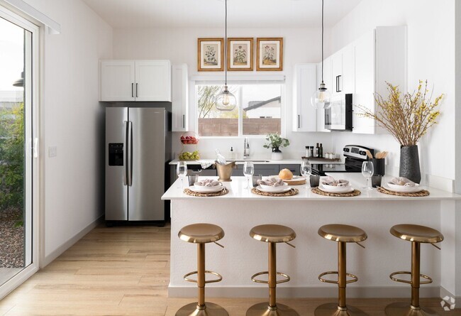
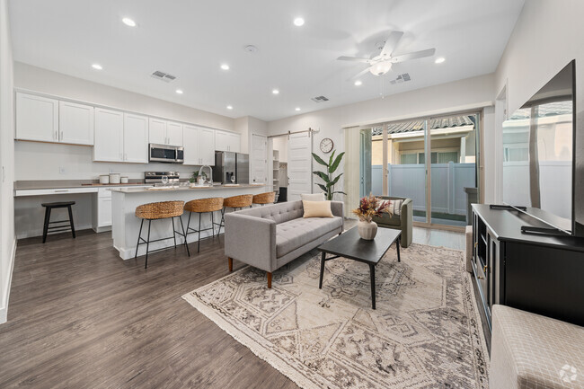
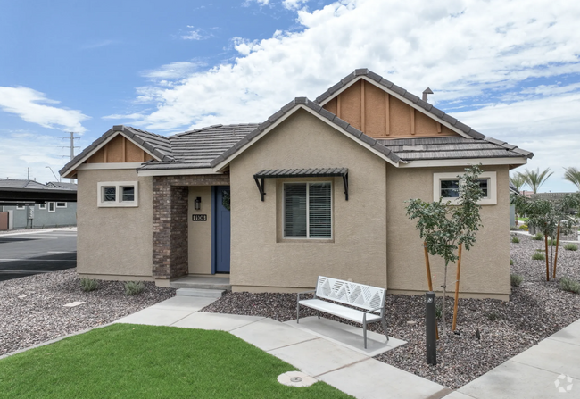
$2,450 / Month
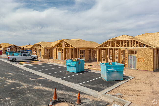
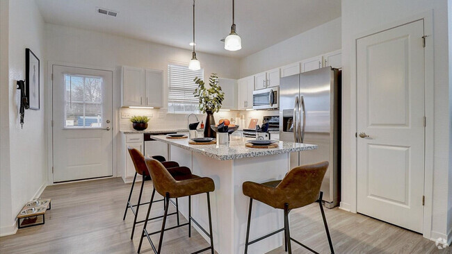
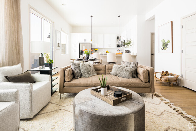
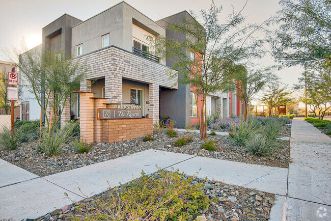
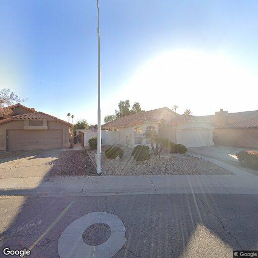
1559 S Longmore Ct
Chandler, AZ 85286
Today
Favorites
602-884-5574
-
Bedrooms
3
-
Bathrooms
2
-
Square Feet
1,647 sq ft
-
Available
Available Now
1559 S Longmore Ct

Favorites
Contact
- Listed by Dushyant Singh
- Phone Number
- Contact
$2,683 / month
$469,000 Listing Price
3 Beds
•2 Baths
•
1,233 Sq Ft
$2,290 / month
$399,900 Listing Price
3 Beds
•2 Baths
•
1,275 Sq Ft
$2,746 / month
$459,000 Listing Price
3 Beds
•2 Baths
•
1,421 Sq Ft
Location
Get Directions
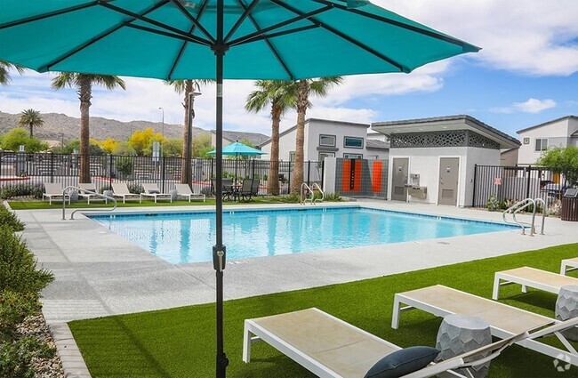
Nestled between Downtown Chandler and the Gila River Indian Reservation, South Chandler is a sizeable suburban area brimming with all kinds of modern conveniences. South Chandler residents enjoy easy access to a slew of shopping centers and plazas, many of which are clustered along South Alma School Road and South Arizona Avenue.
South Chandler offers plenty of recreational opportunities at Tumbleweed Park, Chuparosa Park, Snedigar Recreation Center, and Paseo Vista Recreation Area. The expansive San Tan Mountains Regional Park is also just minutes away from South Chandler. A wide variety of golf and country clubs are located in South Chandler as well.
Learn more about living in South Chandler
Education
| Colleges & Universities | Distance | ||
|---|---|---|---|
| Colleges & Universities | Distance | ||
| Drive: | 10 min | 5.4 mi | |
| Drive: | 11 min | 5.8 mi | |
| Drive: | 17 min | 8.4 mi | |
| Drive: | 17 min | 10.0 mi |
1559 S Longmore Ct is within 10 minutes or 5.4 miles from Chandler-Gilbert CC. Sun Lakes. It is also near Chandler-Gilbert C.C., Pecos and Alverno College.
Schools


Public Elementary School
Grades PK-6
787 Students
Nearby
Public Elementary School
Grades PK-6
675 Students
Attendance Zone
Public Middle & High School
Grades 8-12
3,850 Students
Attendance Zone
Public Middle School
Grades 7-8
1,151 Students
Attendance Zone
Private Elementary, Middle & High School
Grades K-12
205 Students
Nearby
School data provided by
 The GreatSchools Rating helps parents compare schools within a state based on a variety of school quality indicators and provides a helpful picture of how effectively each school serves all of its students. Ratings are on a scale of 1 (below average) to 10 (above average) and can include test scores, college readiness, academic progress, advanced courses, equity, discipline and attendance data. We also advise parents to visit schools, consider other information on school performance and programs, and consider family needs as part of the school selection process.
View GreatSchools Rating Methodology
View GreatSchools Rating Methodology
Transportation options available in Chandler include Price-101 Fwy/Apache Blvd, located 10.7 miles from 1559 S Longmore Ct. 1559 S Longmore Ct is near Phoenix-Mesa Gateway, located 13.3 miles or 21 minutes away, and Phoenix Sky Harbor International, located 18.8 miles or 28 minutes away.
| Transit / Subway | Distance | ||
|---|---|---|---|
| Transit / Subway | Distance | ||
|
|
Drive: | 16 min | 10.7 mi |
|
|
Drive: | 19 min | 10.9 mi |
|
|
Drive: | 17 min | 11.2 mi |
|
|
Drive: | 18 min | 11.8 mi |
|
|
Drive: | 19 min | 12.6 mi |
| Commuter Rail | Distance | ||
|---|---|---|---|
| Commuter Rail | Distance | ||
|
|
Drive: | 30 min | 22.0 mi |
| Airports | Distance | ||
|---|---|---|---|
| Airports | Distance | ||
|
Phoenix-Mesa Gateway
|
Drive: | 21 min | 13.3 mi |
|
Phoenix Sky Harbor International
|
Drive: | 28 min | 18.8 mi |
Time and distance from 1559 S Longmore Ct.
| Shopping Centers | Distance | ||
|---|---|---|---|
| Shopping Centers | Distance | ||
| Walk: | 16 min | 0.8 mi | |
| Drive: | 3 min | 1.1 mi | |
| Drive: | 3 min | 1.2 mi |
1559 S Longmore Ct has 3 shopping centers within 1.2 miles, which is about a 3-minute walk. The miles and minutes will be for the farthest away property.
| Parks and Recreation | Distance | ||
|---|---|---|---|
| Parks and Recreation | Distance | ||
|
City of Chandler Environmental Education Center
|
Drive: | 15 min | 9.3 mi |
|
Pecos Park
|
Drive: | 17 min | 10.1 mi |
|
i.d.e.a. Museum
|
Drive: | 20 min | 11.1 mi |
|
Arizona Museum of Natural History
|
Drive: | 21 min | 11.5 mi |
|
South Mountain Park
|
Drive: | 22 min | 12.6 mi |
1559 S Longmore Ct has 5 parks within 12.6 miles, including City of Chandler Environmental Education Center, Pecos Park, and i.d.e.a. Museum.
| Hospitals | Distance | ||
|---|---|---|---|
| Hospitals | Distance | ||
| Drive: | 4 min | 1.8 mi | |
| Drive: | 9 min | 5.1 mi | |
| Drive: | 11 min | 5.3 mi |
1559 S Longmore Ct has 3 hospitals within 5.3 miles, the nearest is Chandler Regional Medical Center which is 1.8 miles away and a 4 minute drive.
| Military Bases | Distance | ||
|---|---|---|---|
| Military Bases | Distance | ||
| Drive: | 28 min | 19.6 mi | |
| Drive: | 57 min | 43.8 mi | |
| Drive: | 99 min | 80.8 mi |
1559 S Longmore Ct has 3 military bases within 80.8 miles, the nearest is Phoenix Sky Harbor Airport Air Guard Station which is 19.6 miles away and a 28 minute drive.
You May Also Like
Similar Rentals Nearby
-
-
1 / 22

-
-
-
-
-
-
1 / 2
-
-
1 / 18

What Are Walk Score®, Transit Score®, and Bike Score® Ratings?
Walk Score® measures the walkability of any address. Transit Score® measures access to public transit. Bike Score® measures the bikeability of any address.
What is a Sound Score Rating?
A Sound Score Rating aggregates noise caused by vehicle traffic, airplane traffic and local sources
1559 S Longmore Ct
Chandler, AZ 85286