$2,500 / Month
1566 State Hwy A
Marshfield, MO 65706
2 Weeks Ago
Favorites
1566 State Hwy A

Favorites
Check Back Soon for Upcoming Availability
| Beds | Baths | Average SF |
|---|---|---|
| 3 Bedrooms 3 Bedrooms 3 Br | 2 Baths 2 Baths 2 Ba | 2,300 SF |
About This Property
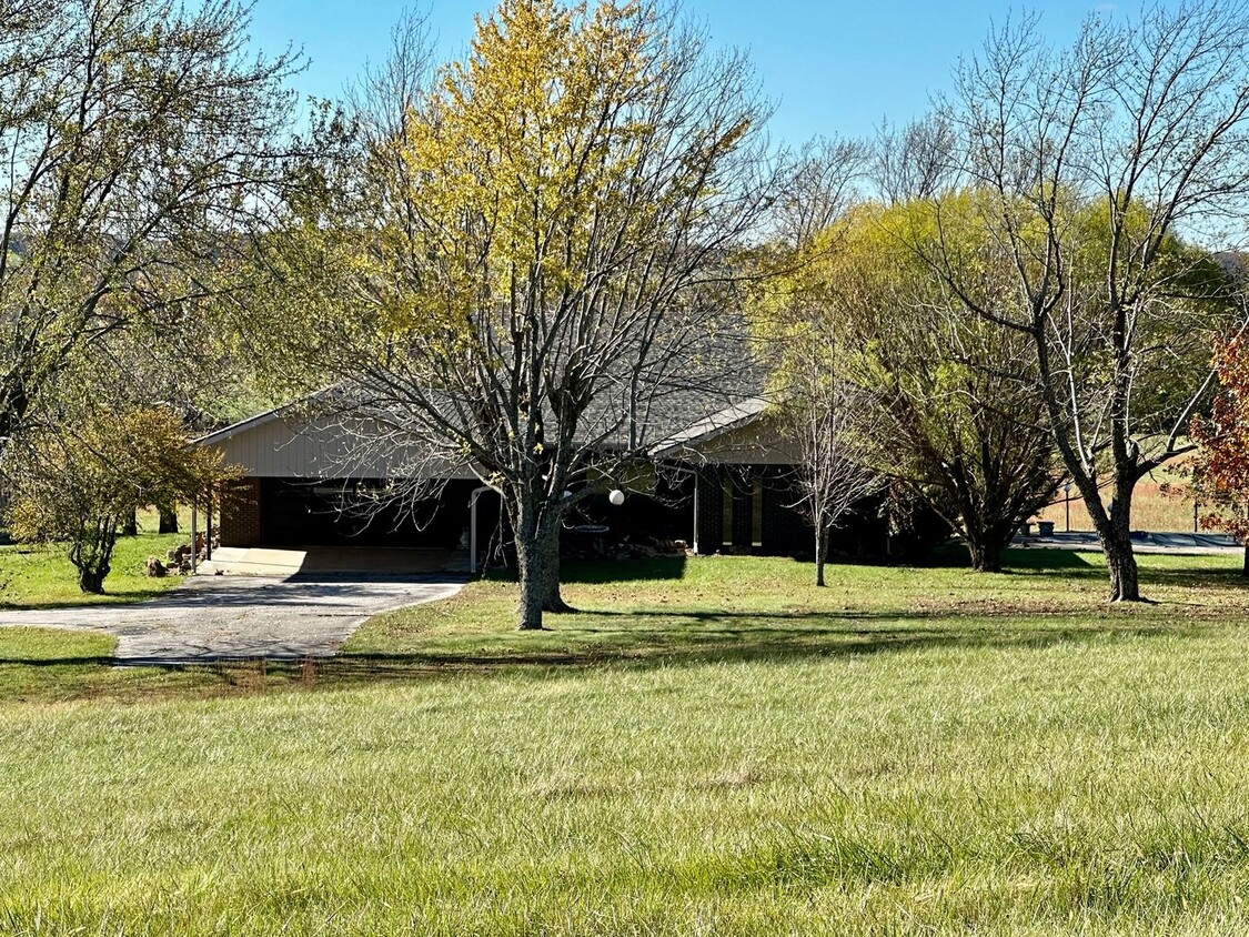
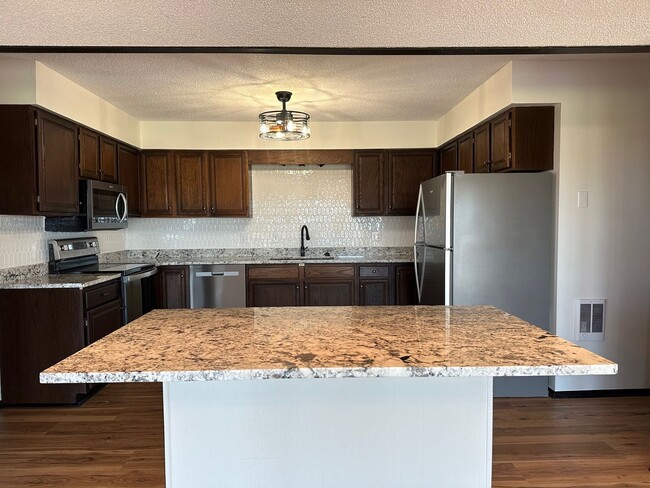
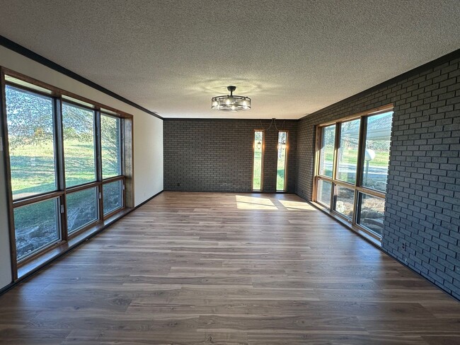
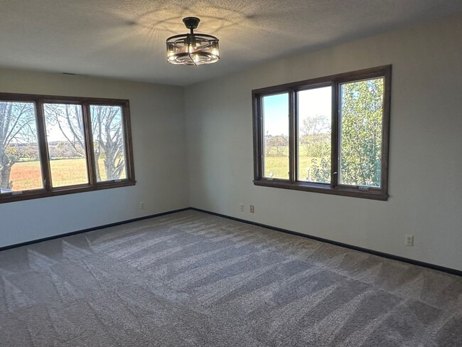
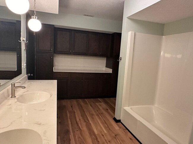
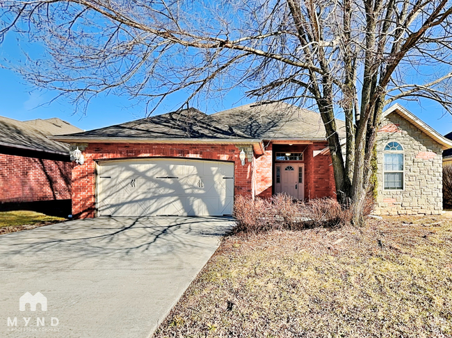
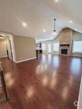
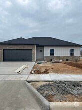
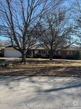
**Beautiful Setting**Newly Renovated 2024 3 bed 2 bath/ 2300 sq. ft./ 2 living areas 2-car attached garage & 2 carports Fridge, stove & microwave included All electric Monthly rent $2500/Security Deposit $2500 Call Complete Realty for more info and to request an application
1566 State Hwy A is a house located in Webster County and the 65706 ZIP Code. This area is served by the Marshfield R-I attendance zone.
Property Address:
1566 State Hwy A,
Marshfield,
MO
65706
Education
| Colleges & Universities | Distance | ||
|---|---|---|---|
| Colleges & Universities | Distance | ||
| Drive: | 36 min | 25.7 mi | |
| Drive: | 38 min | 26.9 mi | |
| Drive: | 39 min | 27.3 mi | |
| Drive: | 40 min | 28.2 mi |
1566 State Hwy A is within 36 minutes or 25.7 miles from Evangel University. It is also near Ozarks Tech. C.C., Springfield and Drury University.
Schools


Public Elementary School
Grades 2-3
465 Students
Nearby
Public Elementary School
Grades K-1
437 Students
Attendance Zone
Public Elementary School
Grades 4-5
451 Students
Attendance Zone
Public Middle School
Grades 6-8
670 Students
Attendance Zone
Public High School
Grades 9-12
916 Students
Attendance Zone
Private Elementary, Middle & High School
Grades PK-10
Nearby
Private Elementary, Middle & High School
Grades 1-12
15 Students
Nearby
Private Elementary School
Grades K
Nearby
Private Elementary & Middle School
Grades 1-8
46 Students
Nearby
School data provided by
 The GreatSchools Rating helps parents compare schools within a state based on a variety of school quality indicators and provides a helpful picture of how effectively each school serves all of its students. Ratings are on a scale of 1 (below average) to 10 (above average) and can include test scores, college readiness, academic progress, advanced courses, equity, discipline and attendance data. We also advise parents to visit schools, consider other information on school performance and programs, and consider family needs as part of the school selection process.
View GreatSchools Rating Methodology
View GreatSchools Rating Methodology
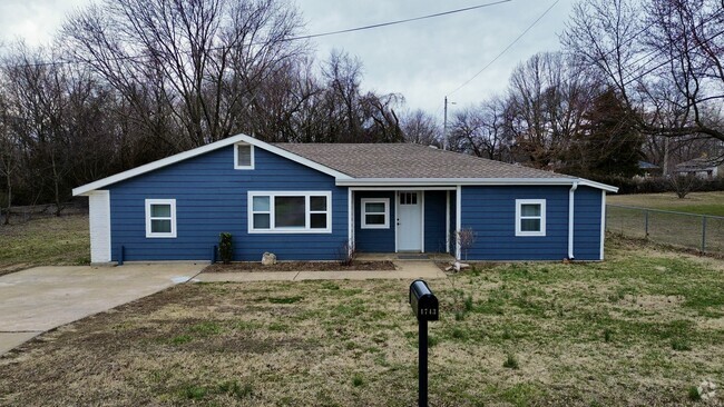
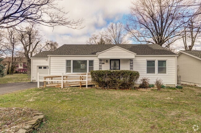
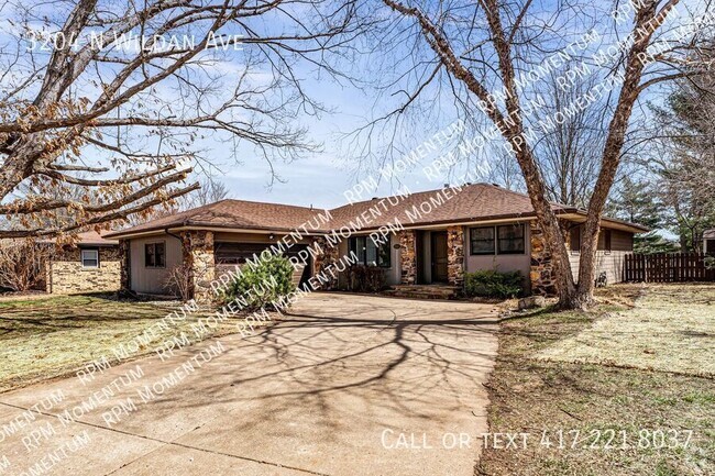
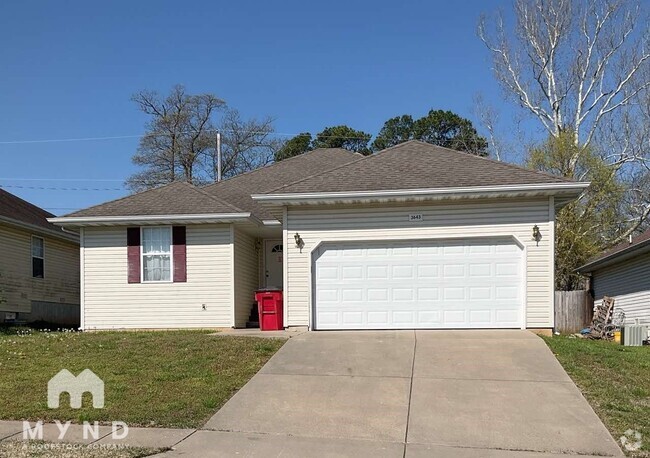
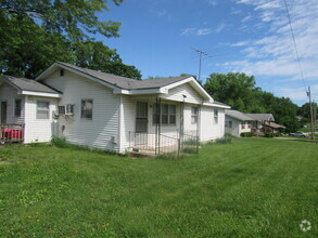
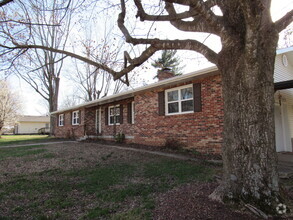
You May Also Like
Similar Rentals Nearby
What Are Walk Score®, Transit Score®, and Bike Score® Ratings?
Walk Score® measures the walkability of any address. Transit Score® measures access to public transit. Bike Score® measures the bikeability of any address.
What is a Sound Score Rating?
A Sound Score Rating aggregates noise caused by vehicle traffic, airplane traffic and local sources

1566 State Hwy A
Marshfield, MO 65706