15695 Palo Alto Ave

Chino Hills, CA 91709 Los Serranos

Today
Share Listing
Favorites
909-465-3059
  • Monthly Rent
    $2,100

  • Bedrooms

    1 bd

  • Bathrooms

    1 ba

  • Square Feet

    800 sq ft

Details

$2,500 deposit, Available Now
* Price shown is base rent and may not include non-optional fees and utilities. Price, availability, fees, and any applicable rent special are subject to change without notice.
* Square footage definitions vary. Displayed square footage is approximate.
15695 Palo Alto Ave
Share Listing
Favorites

About This Property

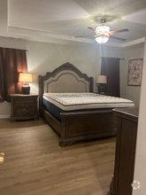
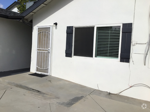
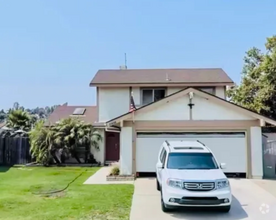
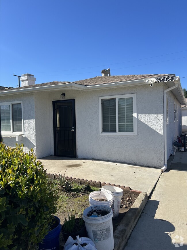
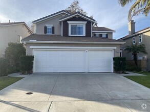
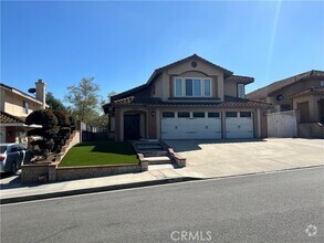
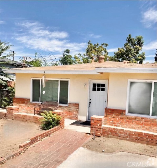
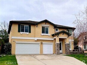
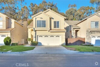
Clean Back house. Washer & Drier hook ups in bathroom. Private yard. Parking outside of front fence. Air, Heat, ceiling fans. No smoking, No wood burning fire pits. Gas BBQ is OK. NO PETS. $1,795 monthly rent, plus $305 towards utilities, to include water, gas, electric. Cable internet and telephone and trash are tenant paid. So monthly rent total is $2100. Owner provides gardening. Please call direct or text only please. Move in deposit is $2,500 Plus rent.

15695 Palo Alto Ave is a house located in San Bernardino County and the 91709 ZIP Code. This area is served by the Chino Valley Unified attendance zone.

Contact

RandyMacias
Protect Yourself From Scams

House Features

  • Washer/Dryer
  • Washer/Dryer Hookup
  • Dishwasher

Fees and Policies

Location
Property Address: 15695 Palo Alto Ave, Chino Hills,
CA 91709
Get Directions
This Property Available Property
Amenities
  • Washer/Dryer
  • Washer/Dryer Hookup
  • Dishwasher
Neighborhood

A large subdivision with mountain views and a golf course, Los Serranos provides a beautiful location in Chino Hills. Bordered by the Chino Valley Freeway on its east side, commuting from the neighborhood is easy. While it is primarily residential, there's ample shopping in the northwest corner of the neighborhood, near the intersection of Pipeline Avenue and Chino Hills Parkway. Here, you'll find restaurants, banks, grocery stores, specialty shops, and other businesses.

The Los Serranos Country Club covers much of the neighborhood, offering two 18-hole golf courses, a large lake, a clubhouse, and a driving range. For those who prefer hiking to golfing, the Chino Hills State Park is directly south of the neighborhood and provides ample hiking, equestrian, and mountain biking trails. The park covers 14,102 acres and includes an outdoor amphitheater, campgrounds, picnic areas, and an exhibit hall.

Learn more about living in Los Serranos 
Education
Colleges & Universities Distance
Drive: 13 min 7.5 mi
Drive: 16 min 9.8 mi
Drive: 18 min 10.8 mi
Drive: 24 min 16.6 mi
15695 Palo Alto Ave is within 13 minutes or 7.5 miles from Western Health Scis., Pomono. It is also near DeVry University-California and Cal Poly Pomona.
Schools
Public Elementary School
Grades K-6
523 Students
Nearby
5
Out of 10
Public Elementary School
Grades K-6
424 Students
Attendance Zone
7
Out of 10
Public Middle School
Grades 7-8
879 Students
Attendance Zone
8
Out of 10
Public High School
Grades 9-12
2,800 Students
Attendance Zone
8
Out of 10
Private Elementary, Middle & High School
Grades 1-12
Nearby
Private Elementary School
Grades K-5
84 Students
Nearby
Private Elementary School
Grades K-2
17 Students
Nearby
Private Elementary School
Grades PK-1
42 Students
Nearby
Transportation

Transportation options available in Chino Hills include Apu / Citrus College Station, located 18.7 miles from 15695 Palo Alto Ave. 15695 Palo Alto Ave is near Ontario International, located 12.8 miles or 21 minutes away, and John Wayne/Orange County, located 32.5 miles or 41 minutes away.

Transit / Subway Distance
Drive: 27 min 18.7 mi
Drive: 26 min 19.3 mi
Drive: 27 min 20.5 mi
Drive: 30 min 23.0 mi
Drive: 31 min 24.4 mi
Commuter Rail Distance
Drive: 13 min 7.5 mi
Drive: 18 min 9.8 mi
Drive: 17 min 10.1 mi
Drive: 17 min 11.1 mi
Drive: 18 min 11.9 mi
Airports Distance
Airports Distance
Ontario International
Drive: 21 min 12.8 mi
John Wayne/Orange County
Drive: 41 min 32.5 mi
Car-Dependent
28
Walk Score®
Out of 100
This area is considered a car-dependent area and most errands will require a car.
Minimal Transit
0
Transit Score®
Out of 100
Somewhat Bikeable
24
Bike Score®
Out of 100
You might be able to find places to ride your bike in this area, but you’ll most likely want your car for most errands.
-
-
Soundscore
Out of 100

Traffic:

-

Airport:

-

Businesses:

-

Score provided by

Scores provided by  and

Score provided by

Points of Interest

Time and distance from 15695 Palo Alto Ave.

Shopping Centers Distance
Drive: 3 min 1.5 mi
Drive: 5 min 1.7 mi
Drive: 5 min 2.5 mi
15695 Palo Alto Ave has 3 shopping centers within 2.5 miles, which is about a 5-minute drive. The miles and minutes will be for the farthest away property.
Parks and Recreation Distance
Chino Creek Wetlands and Educational Park
Drive: 7 min 3.9 mi
Chino Hills State Park
Drive: 25 min 5.4 mi
Millikan Planetarium
Drive: 18 min 10.4 mi
Frank G. Bonelli Regional Park
Drive: 18 min 12.1 mi
Oak Canyon Nature Center
Drive: 30 min 21.2 mi
15695 Palo Alto Ave has 5 parks within 21.2 miles, including Chino Creek Wetlands and Educational Park, Chino Hills State Park, and Millikan Planetarium.
Hospitals Distance
Hospitals Distance
Drive: 10 min 5.4 mi
Drive: 14 min 8.4 mi
Drive: 14 min 8.7 mi
15695 Palo Alto Ave has 3 hospitals within 8.7 miles, the nearest is Chino Valley Medical Center which is 5.4 miles away and a 10 minutes drive.

You May Also Like

Similar Rentals Nearby