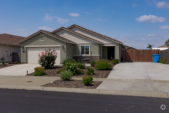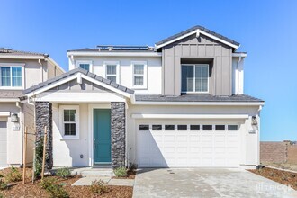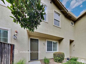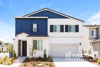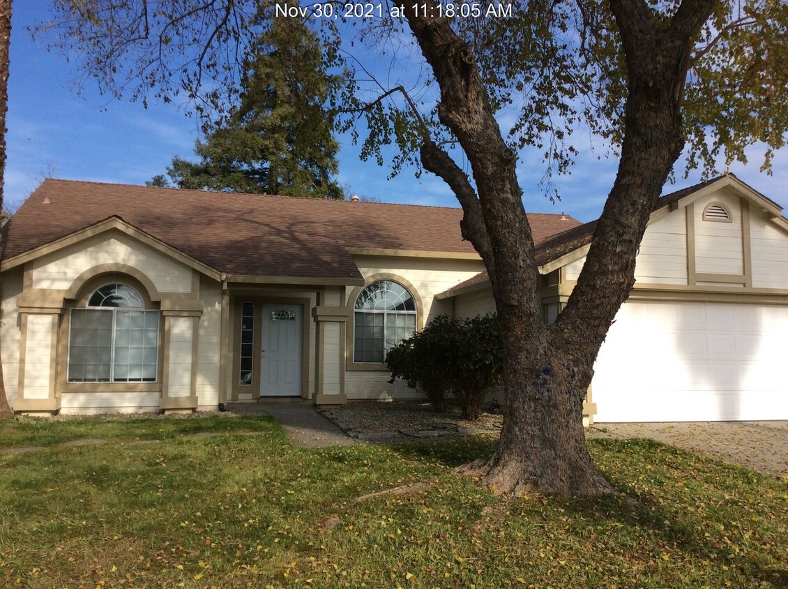

Check Back Soon for Upcoming Availability
| Beds | Baths | Average SF |
|---|---|---|
| 3 Bedrooms 3 Bedrooms 3 Br | 2 Baths 2 Baths 2 Ba | 1,363 SF |
 This Property
 Available Property
Stretched along the Feather River in northern California, about 40 miles north of Sacramento, Yuba City provides residents with a combination of urban amenities and small-town charm. Located at the base of the Sutter Buttes, which is widely believed to be the smallest mountain range in the world, Yuba City is teeming with opportunities for outdoor recreation. Outdoor activities in Yuba City range from mountain biking and river kayaking to swimming at the Gauche Aquatic Park and strolling through Greenwood Park.
The agricultural, economic, and social hub of the Yuba-Sutter Region, Yuba City is home to the largest dried fruit processing plant in the world, Sunsweet Growers Incorporated. Shopping opportunities are many and varied in Yuba City, with national retailers at Yuba Sutter Mall and boutique shops scattered throughout the Plumas Street Shopping District in Yuba City Downtown.
Learn more about living in Yuba City| Colleges & Universities | Distance | ||
|---|---|---|---|
| Colleges & Universities | Distance | ||
| Drive: | 18 min | 8.7 mi | |
| Drive: | 58 min | 42.2 mi |
Transportation options available in Yuba City include Watt/I-80 West, located 43.0 miles from 1573 Hazel Ave. 1573 Hazel Ave is near Sacramento International, located 36.5 miles or 46 minutes away.
| Transit / Subway | Distance | ||
|---|---|---|---|
| Transit / Subway | Distance | ||
|
|
Drive: | 52 min | 43.0 mi |
| Drive: | 52 min | 43.5 mi | |
|
|
Drive: | 55 min | 43.6 mi |
|
|
Drive: | 54 min | 44.3 mi |
| Commuter Rail | Distance | ||
|---|---|---|---|
| Commuter Rail | Distance | ||
|
|
Drive: | 55 min | 40.5 mi |
|
|
Drive: | 57 min | 42.3 mi |
| Drive: | 64 min | 43.5 mi | |
|
|
Drive: | 64 min | 43.6 mi |
| Airports | Distance | ||
|---|---|---|---|
| Airports | Distance | ||
|
Sacramento International
|
Drive: | 46 min | 36.5 mi |
Time and distance from 1573 Hazel Ave.
| Shopping Centers | Distance | ||
|---|---|---|---|
| Shopping Centers | Distance | ||
| Drive: | 3 min | 1.6 mi | |
| Drive: | 4 min | 2.0 mi | |
| Drive: | 5 min | 2.0 mi |
| Parks and Recreation | Distance | ||
|---|---|---|---|
| Parks and Recreation | Distance | ||
|
Sutter National Wildlife Refuge
|
Drive: | 17 min | 8.6 mi |
| Hospitals | Distance | ||
|---|---|---|---|
| Hospitals | Distance | ||
| Drive: | 7 min | 3.3 mi | |
| Drive: | 10 min | 4.8 mi |
| Military Bases | Distance | ||
|---|---|---|---|
| Military Bases | Distance | ||
| Drive: | 39 min | 22.4 mi | |
| Drive: | 58 min | 40.7 mi |
You May Also Like
Similar Rentals Nearby
-
1 / 38
-
$2,4003 Beds, 2 Baths, 1,569 sq ftHouse for Rent
-
$2,2003 Beds, 2 Baths, 1,616 sq ftHouse for Rent
-
$3,4003 Beds, 2 Baths, 1,644 sq ftHouse for Rent
-
$2,4554 Beds, 2 Baths, 1,692 sq ftHouse for Rent
-
$2,7953 Beds, 2 Baths, 1,542 sq ftHouse for Rent
-
$3,1793 Beds, 2 Baths, 1,600 sq ftHouse for Rent
-
$3,2693 Beds, 2 Baths, 1,600 sq ftHouse for Rent
-
$2,5453 Beds, 2.5 Baths, 1,432 sq ftHouse for Rent
-
$2,9393 Beds, 2 Baths, 1,316 sq ftHouse for Rent
What Are Walk Score®, Transit Score®, and Bike Score® Ratings?
Walk Score® measures the walkability of any address. Transit Score® measures access to public transit. Bike Score® measures the bikeability of any address.
What is a Sound Score Rating?
A Sound Score Rating aggregates noise caused by vehicle traffic, airplane traffic and local sources
