
$2,100 / Month
16 Church St Unit 3
Wakefield, MA 01880
2 Weeks Ago
Favorites
16 church

Favorites
Check Back Soon for Upcoming Availability
| Beds | Baths | Average SF |
|---|---|---|
| 1 Bedroom 1 Bedroom 1 Br | 1 Bath 1 Bath 1 Ba | — |
About This Property
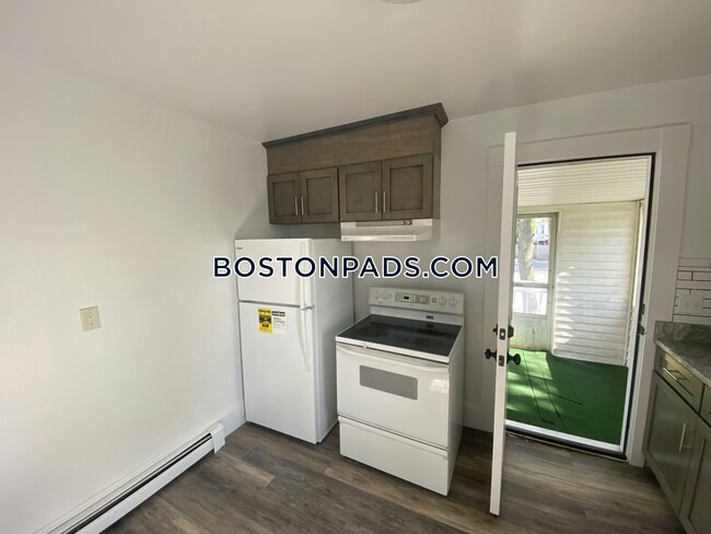
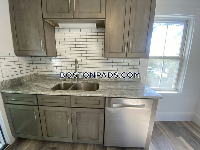
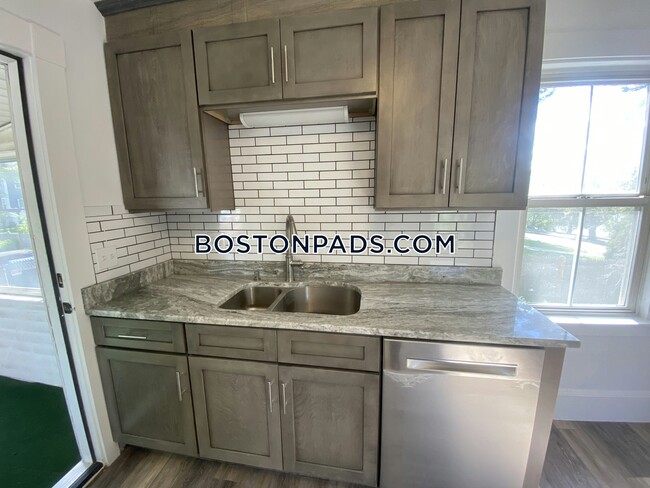
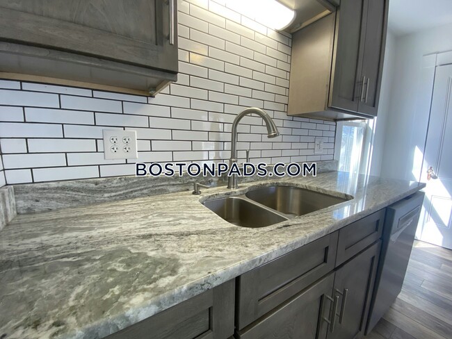
This nice 1 Bed 1 Bath place in the WAKEFIELD area is available for Now. Included Features are: Oil Heat, Electric Hot Water, Extra Storage, Yard, and Deleaded. Boston Pads is not responsible for any errors, omissions and change in price, prior sale, rent and withdrawal without notice. All information from sources reliable but not guaranteed. Photographs, videos, description and information about the properties reflect conditions at the time the information was obtained. We are pledged to this letter and spirit of U.S. policy for the achievement of equal housing opportunity throughout the Nation. We encourage and support an affirmative advertising and marketing program in which there are no barriers to obtaining housing because of race, color, religion, sex, handicap, familial status, or national origin. ListingID = 3768343
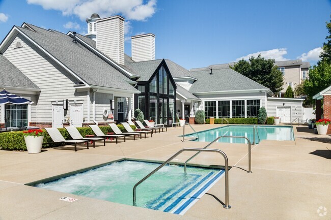
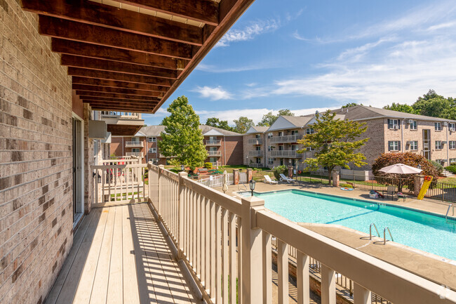
16 church is an apartment community located in Middlesex County and the 01880 ZIP Code.
Features
- High Speed Internet Access
- Cable Ready
- Storage Space
Fees and Policies
Details
Utilities Included
-
Trash Removal
-
Sewer
Location
Get Directions
Below are rent ranges for similar nearby apartments
| Beds | Average Size | Lowest | Typical | Premium |
|---|---|---|---|---|
| Studio Studio Studio | 589 Sq Ft | $1,700 | $3,362 | $5,426 |
| 1 Bed 1 Bed 1 Bed | 766 Sq Ft | $1,700 | $3,311 | $10,029 |
| 2 Beds 2 Beds 2 Beds | 1205 Sq Ft | $1,900 | $3,411 | $11,960 |
| 3 Beds 3 Beds 3 Beds | 1448 Sq Ft | $2,700 | $3,726 | $5,450 |
| 4 Beds 4 Beds 4 Beds | 3077 Sq Ft | $4,200 | $5,450 | $6,750 |
Amenities
- High Speed Internet Access
- Cable Ready
- Storage Space
Expenses
Utilities Included
Trash Removal, Sewer
Included
Education
| Colleges & Universities | Distance | ||
|---|---|---|---|
| Colleges & Universities | Distance | ||
| Drive: | 16 min | 8.2 mi | |
| Drive: | 14 min | 8.5 mi | |
| Drive: | 18 min | 10.3 mi | |
| Drive: | 20 min | 10.4 mi |
16 church is within 16 minutes or 8.2 miles from North Shore C.C., Lynn Campus. It is also near Tufts Univ., Medford and Lesley University, Porter.
Transportation options available in Wakefield include Oak Grove Station, located 5.5 miles from 16 church. 16 church is near General Edward Lawrence Logan International, located 14.8 miles or 24 minutes away, and Manchester Boston Regional, located 42.4 miles or 60 minutes away.
| Transit / Subway | Distance | ||
|---|---|---|---|
| Transit / Subway | Distance | ||
|
|
Drive: | 11 min | 5.5 mi |
|
|
Drive: | 14 min | 6.5 mi |
| Drive: | 14 min | 8.5 mi | |
| Drive: | 15 min | 9.0 mi | |
|
|
Drive: | 16 min | 9.6 mi |
| Commuter Rail | Distance | ||
|---|---|---|---|
| Commuter Rail | Distance | ||
|
|
Walk: | 9 min | 0.5 mi |
|
|
Drive: | 4 min | 2.0 mi |
|
|
Drive: | 5 min | 3.0 mi |
|
|
Drive: | 7 min | 3.2 mi |
|
|
Drive: | 10 min | 4.3 mi |
| Airports | Distance | ||
|---|---|---|---|
| Airports | Distance | ||
|
General Edward Lawrence Logan International
|
Drive: | 24 min | 14.8 mi |
|
Manchester Boston Regional
|
Drive: | 60 min | 42.4 mi |
Time and distance from 16 church.
| Shopping Centers | Distance | ||
|---|---|---|---|
| Shopping Centers | Distance | ||
| Walk: | 17 min | 0.9 mi | |
| Drive: | 6 min | 1.8 mi | |
| Drive: | 5 min | 1.8 mi |
16 church has 3 shopping centers within 1.8 miles, which is about a 5-minute walk. The miles and minutes will be for the farthest away property.
| Parks and Recreation | Distance | ||
|---|---|---|---|
| Parks and Recreation | Distance | ||
|
Breakheart Reservation
|
Drive: | 9 min | 2.8 mi |
|
Friends of Middlesex Fells Reservation
|
Drive: | 10 min | 4.3 mi |
|
Walter D. Stone Memorial Zoo
|
Drive: | 8 min | 4.5 mi |
|
Middlesex Fells Reservation
|
Drive: | 8 min | 4.9 mi |
|
Saugus Ironworks National Historic Site
|
Drive: | 11 min | 5.3 mi |
16 church has 5 parks within 5.3 miles, including Breakheart Reservation, Walter D. Stone Memorial Zoo, and Friends of Middlesex Fells Reservation.
| Hospitals | Distance | ||
|---|---|---|---|
| Hospitals | Distance | ||
| Drive: | 8 min | 3.7 mi | |
| Drive: | 9 min | 4.7 mi | |
| Drive: | 13 min | 7.7 mi |
16 church has 3 hospitals within 7.7 miles, the nearest is MelroseWakefield Healthcare which is 3.7 miles away and a 8 minute drive.
| Military Bases | Distance | ||
|---|---|---|---|
| Military Bases | Distance | ||
| Drive: | 19 min | 12.0 mi | |
| Drive: | 25 min | 12.1 mi |
16 church is 12.0 miles from Hanscom Air Force Base, and is convenient to other military bases, including Fort Pickering.
You May Also Like
Similar Rentals Nearby


What Are Walk Score®, Transit Score®, and Bike Score® Ratings?
Walk Score® measures the walkability of any address. Transit Score® measures access to public transit. Bike Score® measures the bikeability of any address.
What is a Sound Score Rating?
A Sound Score Rating aggregates noise caused by vehicle traffic, airplane traffic and local sources

16 Church St
Wakefield, MA 01880