1 / 19


| Beds | Baths | Average SF |
|---|---|---|
| 1 Bedroom 1 Bedroom 1 Br | 1 Bath 1 Bath 1 Ba | — |
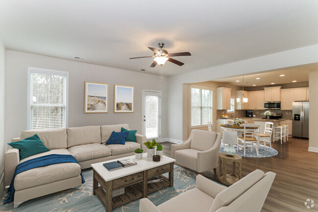
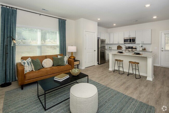
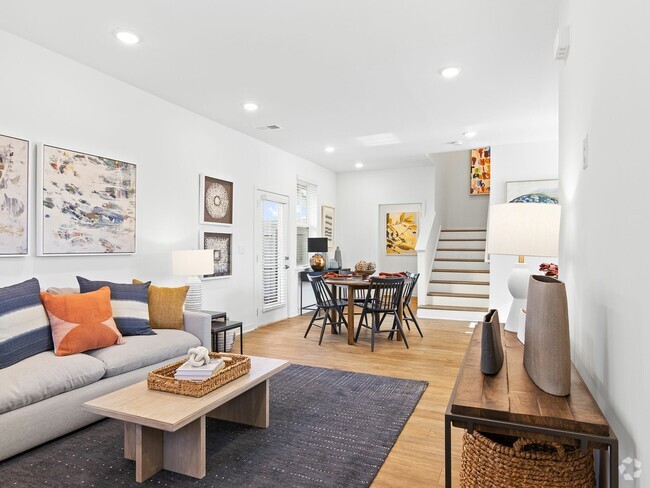
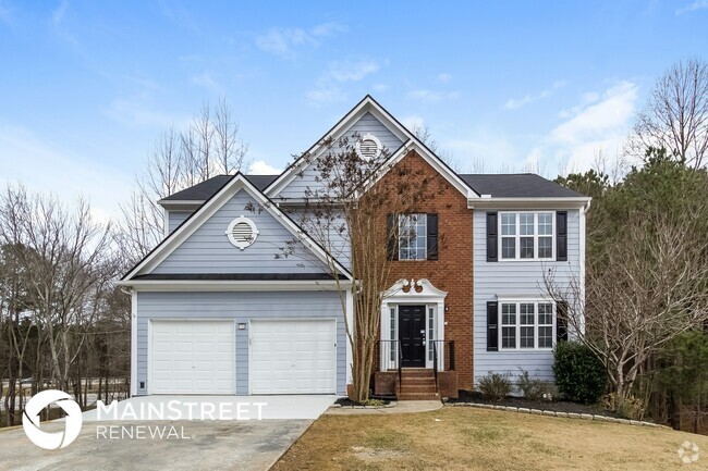
1 BED/1 BATH WALKING DISTANCE TO DOWNTOWN CARTERSVILLE, SHOPPING AND ENTERTAINMENT. FOR MORE INFORMATION TEXT OR CALL .
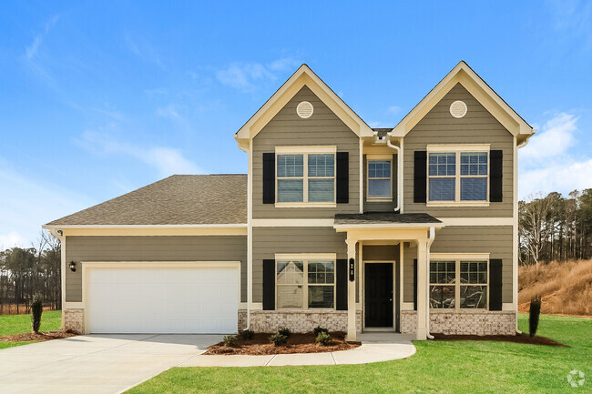
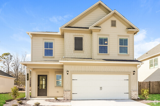
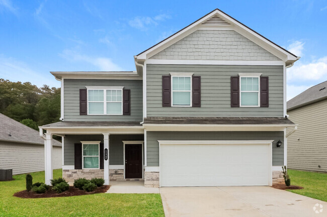
16 Wingfoot Trail is a house located in Bartow County and the 30120 ZIP Code. This area is served by the Cartersville City attendance zone.
The fees below are based on community-supplied data and may exclude additional fees and utilities.
Adjacent to Lake Allatoona, Cartersville is centered in a great location near family-friendly amenities, local establishments, and lakefront living. Cartersville is located within the northwest edge of the Atlanta metro area, and is known for its welcoming community, safe suburban streets, and affordable rentals. You’ll find locals hiking along Pine Mountain Trail, exploring the Booth Western Art Museum, enjoying the Tellus Science Museum, or visiting the Etowah Indian Mounds Historic Site. Great schools, community parks, and charming suburban neighborhoods await in Cartersville. Although there are many residential neighborhoods in the city, Cartersville’s downtown district offers an array of local restaurants, shops, and museums as well.
Learn more about living in Cartersville| Colleges & Universities | Distance | ||
|---|---|---|---|
| Colleges & Universities | Distance | ||
| Drive: | 23 min | 14.7 mi | |
| Drive: | 31 min | 21.9 mi | |
| Drive: | 36 min | 22.9 mi | |
| Drive: | 44 min | 26.3 mi |
Transportation options available in Cartersville include Medical Center, located 41.0 miles from 16 Wingfoot Trail.
| Transit / Subway | Distance | ||
|---|---|---|---|
| Transit / Subway | Distance | ||
|
|
Drive: | 55 min | 41.0 mi |
|
|
Drive: | 55 min | 41.9 mi |
|
|
Drive: | 56 min | 42.0 mi |
|
|
Drive: | 59 min | 43.1 mi |
|
|
Drive: | 60 min | 46.6 mi |
Time and distance from 16 Wingfoot Trail.
| Shopping Centers | Distance | ||
|---|---|---|---|
| Shopping Centers | Distance | ||
| Walk: | 11 min | 0.6 mi | |
| Drive: | 3 min | 1.1 mi | |
| Drive: | 7 min | 2.8 mi |
| Parks and Recreation | Distance | ||
|---|---|---|---|
| Parks and Recreation | Distance | ||
|
Etowah Indian Mounds Historic Site
|
Drive: | 10 min | 4.2 mi |
|
Tellus Northwest Georgia Science Museum
|
Drive: | 14 min | 7.3 mi |
|
Red Top Mountain State Park
|
Drive: | 18 min | 8.8 mi |
|
Pettit Environmental Preserve
|
Drive: | 19 min | 10.5 mi |
| Military Bases | Distance | ||
|---|---|---|---|
| Military Bases | Distance | ||
| Drive: | 50 min | 32.3 mi | |
| Drive: | 66 min | 49.1 mi |
Pets Allowed Kitchen Smoke Free Yard
What Are Walk Score®, Transit Score®, and Bike Score® Ratings?
Walk Score® measures the walkability of any address. Transit Score® measures access to public transit. Bike Score® measures the bikeability of any address.
What is a Sound Score Rating?
A Sound Score Rating aggregates noise caused by vehicle traffic, airplane traffic and local sources
16 Wingfoot Trail
Cartersville, GA 30120