
$1,500 / Month
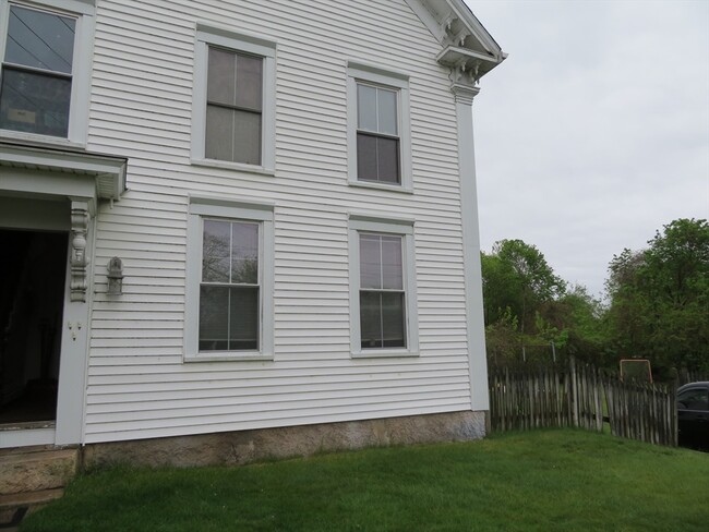
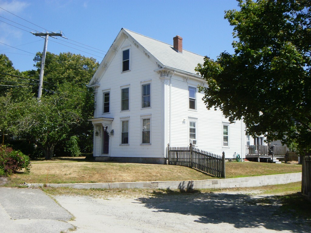
160 High St Unit 4
Wareham, MA 02571
2 Weeks Ago
Favorites
160 High St Unit 4

Favorites
Check Back Soon for Upcoming Availability
| Beds | Baths | Average SF |
|---|---|---|
| 1 Bedroom 1 Bedroom 1 Br | 1 Bath 1 Bath 1 Ba | 600 SF |
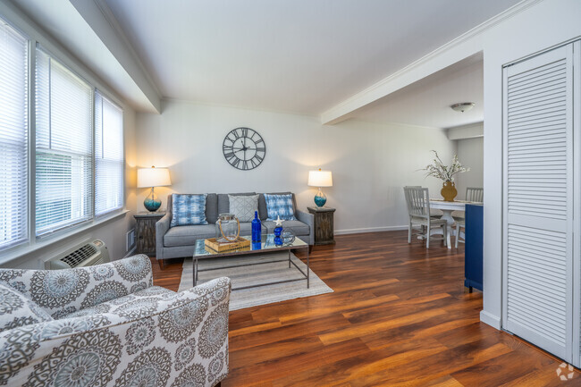
About This Property
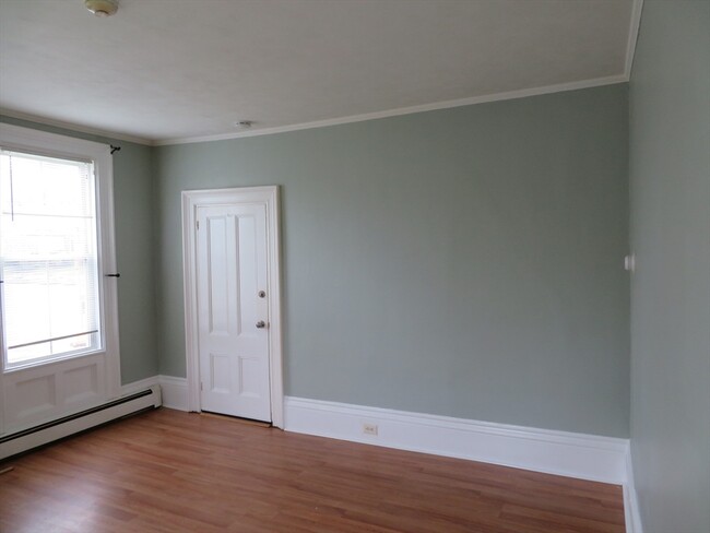
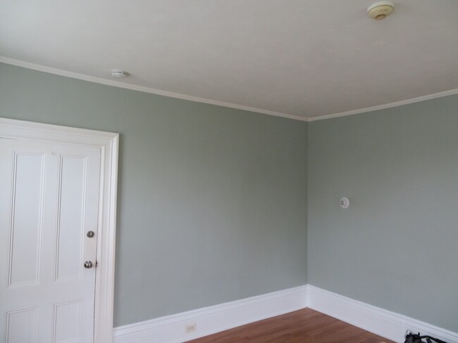
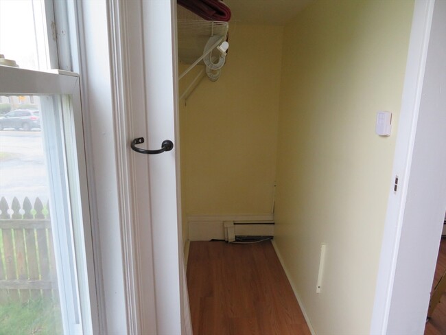
Just listed 1 Bedroom 1 bath Studio apartment located on the first floor. Minutes off the highway. close to all area amenities. No smoking,no candles. Laundry off site. Off street parking. No pets. All tenants are subject to a credit and eviction check prior to final approval.
160 High St is an apartment community located in Plymouth County and the 02571 ZIP Code.
Location
Get Directions
On the edge of Cape Cod lies Wareham, Massachusetts, a quiet small town with fantastic waterfront views. Situated on Buzzards Bay with inlets such as Wareham River, this town offers aquatic recreation like boating and fishing near sandy beaches like Swift's Beach, Shell Point Beach, or Onset Beach. Wareham has a secluded feel with long stretches of woodlands, located just south of the Myles Standish State Forest.
Wareham is less than 20 miles northeast of New Bedford and about an hour’s commute into Boston. With access to Interstate 495 and Interstate 195, commuting is a breeze. Residents who prefer public transportation can make use of commuter rail, accessed through the Middleborough/Lakeville Station. Wareham is known for its family-focused atmosphere, and there are plenty of family-friendly amenities in town. Numerous family-owned restaurants provide dining options, and Wareham Crossing offers additional restaurants and retail shopping.
Learn more about living in Wareham
Education
| Colleges & Universities | Distance | ||
|---|---|---|---|
| Colleges & Universities | Distance | ||
| Drive: | 34 min | 22.0 mi | |
| Drive: | 34 min | 24.2 mi | |
| Drive: | 42 min | 30.2 mi | |
| Drive: | 48 min | 32.0 mi |
160 High St Unit 4 is within 34 minutes or 22.0 miles from UMass Dartmouth. It is also near Bridgewater State University and Bristol Community College.
Transportation options available in Wareham include Braintree Station, located 43.3 miles from 160 High St Unit 4. 160 High St Unit 4 is near Martha's Vineyard, located 41.2 miles or 103 minutes away.
| Transit / Subway | Distance | ||
|---|---|---|---|
| Transit / Subway | Distance | ||
|
|
Drive: | 60 min | 43.3 mi |
| Commuter Rail | Distance | ||
|---|---|---|---|
| Commuter Rail | Distance | ||
| Walk: | 9 min | 0.5 mi | |
| Drive: | 12 min | 6.4 mi | |
| Drive: | 15 min | 10.0 mi | |
|
|
Drive: | 22 min | 15.8 mi |
|
|
Drive: | 37 min | 20.2 mi |
| Airports | Distance | ||
|---|---|---|---|
| Airports | Distance | ||
|
Martha's Vineyard
|
Drive: | 103 min | 41.2 mi |
Time and distance from 160 High St Unit 4.
| Shopping Centers | Distance | ||
|---|---|---|---|
| Shopping Centers | Distance | ||
| Walk: | 5 min | 0.3 mi | |
| Walk: | 8 min | 0.4 mi | |
| Drive: | 4 min | 1.5 mi |
160 High St Unit 4 has 3 shopping centers within 1.5 miles, which is about a 4-minute walk. The miles and minutes will be for the farthest away property.
| Parks and Recreation | Distance | ||
|---|---|---|---|
| Parks and Recreation | Distance | ||
|
Marion Natural History Museum
|
Drive: | 8 min | 5.0 mi |
|
Cape Cod Canal
|
Drive: | 11 min | 6.1 mi |
|
Myles Standish State Forest
|
Drive: | 32 min | 12.5 mi |
160 High St Unit 4 has 3 parks within 12.5 miles, including Marion Natural History Museum, Cape Cod Canal, and Myles Standish State Forest.
| Hospitals | Distance | ||
|---|---|---|---|
| Hospitals | Distance | ||
| Drive: | 22 min | 14.6 mi |
160 High St Unit 4 is 14.6 miles and a 22 minute drive from Cape Cod & Islands Community Mental Health Center.
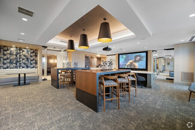
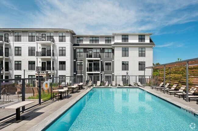
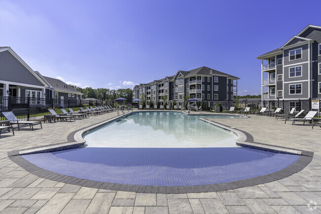
You May Also Like
Similar Rentals Nearby


What Are Walk Score®, Transit Score®, and Bike Score® Ratings?
Walk Score® measures the walkability of any address. Transit Score® measures access to public transit. Bike Score® measures the bikeability of any address.
What is a Sound Score Rating?
A Sound Score Rating aggregates noise caused by vehicle traffic, airplane traffic and local sources
160 High St
Wareham, MA 02571