-
Monthly Rent
$1,475
-
Bedrooms
2 bd
-
Bathrooms
2 ba
-
Square Feet
890 sq ft
Details

About This Property
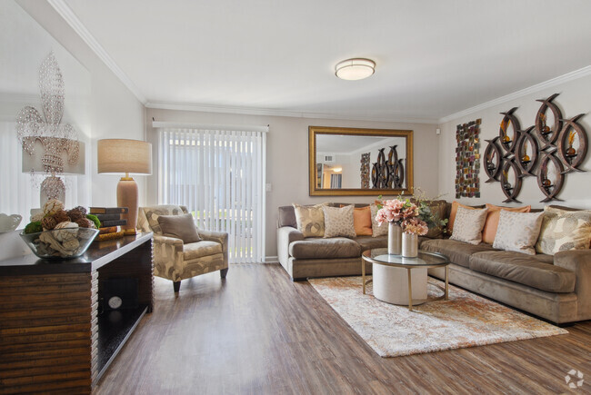
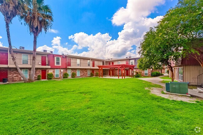
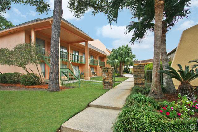
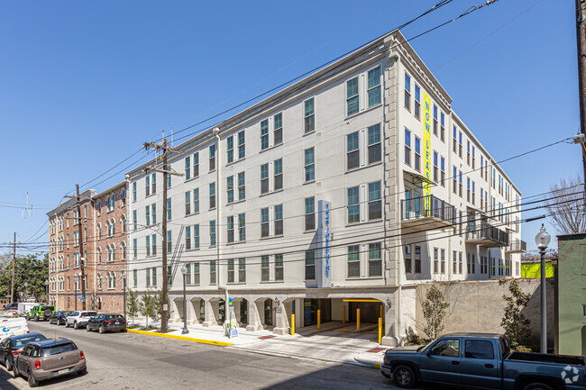
A quaint community with a big personality nestled in the Terrytown area. Just 10 minutes from downtown New Orleans!
1615 Carol Sue Ave is an apartment community located in Jefferson County and the 70056 ZIP Code.
 This Property
 Available Property
The Westbank area of Gretna encompasses the geographical area to the west and also to the south of the Mississippi River, including Jefferson Parish, and a portion of Orleans Parish. Residents enjoy the close proximity to nature while having easy access to Downtown New Orleans. Take a stroll through Westbank hub and you’ll find plenty of down-home restaurants serving up Creole staples. Old Downtown has been revived here, with historic buildings newly preserved.
The apartment offerings are as diverse as the residents. You’ll find low-lying apartment communities and charming single-family homes for rent. U.S. Highway 90 cuts through the area, making commuting into New Orleans a breeze.
Learn more about living in Westbank| Colleges & Universities | Distance | ||
|---|---|---|---|
| Colleges & Universities | Distance | ||
| Drive: | 11 min | 6.6 mi | |
| Drive: | 12 min | 6.6 mi | |
| Drive: | 19 min | 9.2 mi | |
| Drive: | 21 min | 9.4 mi |
Transportation options available in Terrytown include St Charles And Euterpe, located 6.0 miles from 1615 Carol Sue Ave. 1615 Carol Sue Ave is near Louis Armstrong New Orleans International, located 20.0 miles or 29 minutes away.
| Transit / Subway | Distance | ||
|---|---|---|---|
| Transit / Subway | Distance | ||
|
|
Drive: | 11 min | 6.0 mi |
|
|
Drive: | 11 min | 6.1 mi |
|
|
Drive: | 12 min | 6.2 mi |
|
|
Drive: | 12 min | 6.3 mi |
|
|
Drive: | 13 min | 6.5 mi |
| Commuter Rail | Distance | ||
|---|---|---|---|
| Commuter Rail | Distance | ||
|
|
Drive: | 11 min | 5.6 mi |
|
|
Drive: | 48 min | 38.0 mi |
| Airports | Distance | ||
|---|---|---|---|
| Airports | Distance | ||
|
Louis Armstrong New Orleans International
|
Drive: | 29 min | 20.0 mi |
Time and distance from 1615 Carol Sue Ave.
| Shopping Centers | Distance | ||
|---|---|---|---|
| Shopping Centers | Distance | ||
| Walk: | 13 min | 0.7 mi | |
| Walk: | 17 min | 0.9 mi | |
| Walk: | 40 min | 2.1 mi |
| Parks and Recreation | Distance | ||
|---|---|---|---|
| Parks and Recreation | Distance | ||
|
Louisiana Children's Museum
|
Drive: | 11 min | 5.4 mi |
|
Entergy IMAX Theatre
|
Drive: | 12 min | 5.9 mi |
|
Audubon Aquarium of the Americas
|
Drive: | 12 min | 5.9 mi |
|
New Orleans Jazz National Historical Park
|
Drive: | 14 min | 6.1 mi |
|
Woodlands Conservancy
|
Drive: | 15 min | 7.6 mi |
| Hospitals | Distance | ||
|---|---|---|---|
| Hospitals | Distance | ||
| Drive: | 9 min | 4.6 mi | |
| Drive: | 12 min | 6.8 mi | |
| Drive: | 12 min | 7.0 mi |
| Military Bases | Distance | ||
|---|---|---|---|
| Military Bases | Distance | ||
| Drive: | 10 min | 4.2 mi | |
| Drive: | 16 min | 8.4 mi |
You May Also Like
Similar Rentals Nearby
What Are Walk Score®, Transit Score®, and Bike Score® Ratings?
Walk Score® measures the walkability of any address. Transit Score® measures access to public transit. Bike Score® measures the bikeability of any address.
What is a Sound Score Rating?
A Sound Score Rating aggregates noise caused by vehicle traffic, airplane traffic and local sources
