
17 Brigham St Unit 1
Westborough, MA 01581
Favorites
508-449-0400

-
Monthly Rent
$1,550
-
Bedrooms
1 bd
-
Bathrooms
1 ba
-
Square Feet
999 sq ft
Details
$500 deposit,
Available Now
* Price shown is base rent and may not include non-optional fees and utilities.
Price, availability, fees, and any applicable rent special are subject to change without notice.
* Square footage definitions vary. Displayed square footage is approximate.
17 Brigham St Unit 1
Favorites
About This Property
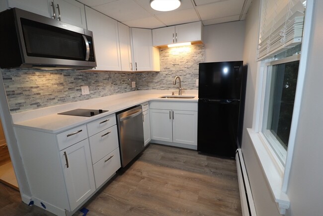
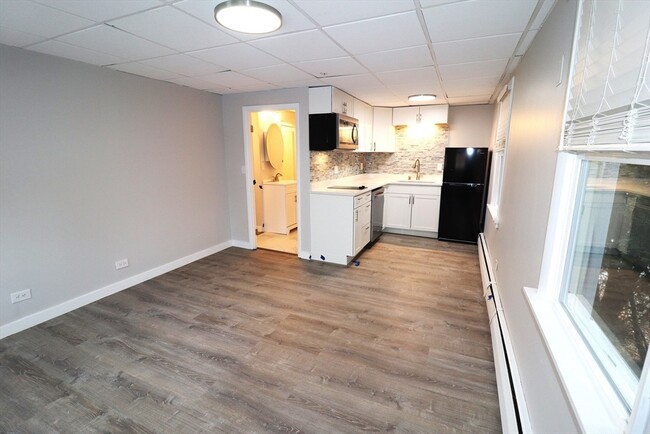
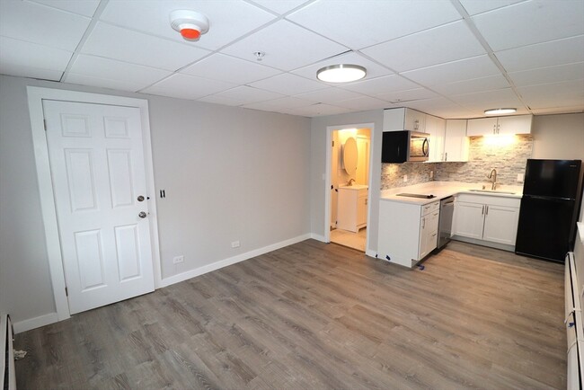
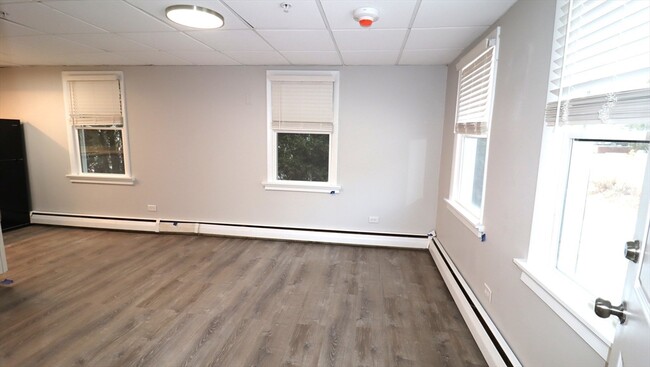
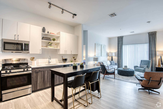
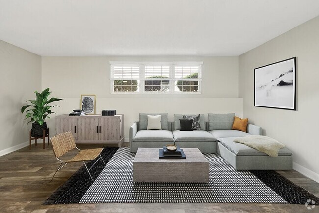
TOTALLY UPDATED (1st floor) Studio apartment for rent with ALL UTILITIES included (electricity,heat,internet,etc). Everything was remodeled so the unit "FELLS LIKE NEW CONSTRUCTION". New kitchen with quartz counter,dishwasher,built-in microwave,and fridge. All new flooring,light fixtures,painting throughout entire building for a clean modern look. New bathroom remodel includes flooring,vanity,toilet,lighting,etc. Cat friendly community (sorry but no dogs allowed). First Month,Last Month,plus $500 security deposit required to move-in ($3,600 total). Ready for February 1,2025 Occupancy. Please contact us to schedule your viewing ASAP.
17 Brigham St is an apartment community located in Worcester County and the 01581 ZIP Code.
Contact
Nilton Lisboa
lisboa realty
MLS Property Information Network
The property listing data and information set forth herein were provided to MLS Property Information Network, Inc. from third party sources, including sellers, lessors and public records, and were compiled by MLS Property Information Network, Inc. The property listing data and information are for the personal, non-commercial use of consumers having a good faith interest in purchasing or leasing listed properties of the type displayed to them and may not be used for any purpose other than to identify prospective properties which such consumers may have a good faith interest in purchasing or leasing. MLS Property Information Network, Inc. and its subscribers disclaim any and all representations and warranties as to the accuracy of the property listing data and information set forth herein. All properties are subject to prior sale, change or withdrawal. Copyright © 2025 MLS Property Information Network, Inc. All rights reserved.
Features
Dishwasher
Microwave
Refrigerator
Range
- Dishwasher
- Microwave
- Range
- Refrigerator
- Porch
Fees and Policies
The fees below are based on community-supplied data and may exclude additional fees and utilities.
Pet policies are negotiable.
Property Address:
17 Brigham St,
Westborough,
MA
01581
 This Property
 Available Property
Amenities
- Dishwasher
- Microwave
- Range
- Refrigerator
- Porch
Situated just moments east of Worcester is the Route 9 Corridor, a large neighborhood compiled of several communities including Shrewsbury, Westborough, Northborough, and Southborough. Not only is Worcester at residents’ fingertips, but Downtown Boston is less than 40 miles east. The Route 9 Corridor is a commuter’s dream, offering easy city access and entry onto Interstates 290, 495, and 90.
The suburb is dotted with ponds, reservoirs, brooks, and rivers, providing ample outdoor recreation. Renters craving a beach day can bask on the sunny shores of Lake Chauncy Beach. Route 9 Corridor’s Prospect Park allows locals to take their dog for a stroll while Assabet Park gives children ample space to play on the playground. Those looking for winter recreation won’t want to miss the powdery slopes of Ski Ward Ski Area. No matter the season, renters settling in this diverse community can choose from gorgeous apartments ranging in price and amenities.
Learn more about living in Route 9 Corridor
Education
| Colleges & Universities | Distance | ||
|---|---|---|---|
| Colleges & Universities | Distance | ||
| Drive: | 10 min | 4.3 mi | |
| Drive: | 16 min | 8.9 mi | |
| Drive: | 18 min | 10.1 mi | |
| Drive: | 19 min | 10.7 mi |
17 Brigham St Unit 1 is within 10 minutes or 4.3 miles from Tufts University, Grafton. It is also near Stillman College and Framingham State College.
Transportation options available in Westborough include Riverside Station, located 22.0 miles from 17 Brigham St Unit 1. 17 Brigham St Unit 1 is near Worcester Regional, located 15.7 miles or 29 minutes away, and General Edward Lawrence Logan International, located 35.1 miles or 50 minutes away.
| Transit / Subway | Distance | ||
|---|---|---|---|
| Transit / Subway | Distance | ||
|
|
Drive: | 33 min | 22.0 mi |
|
|
Drive: | 33 min | 22.3 mi |
|
|
Drive: | 34 min | 23.0 mi |
|
|
Drive: | 37 min | 24.6 mi |
|
|
Drive: | 37 min | 24.8 mi |
| Commuter Rail | Distance | ||
|---|---|---|---|
| Commuter Rail | Distance | ||
|
|
Drive: | 6 min | 2.2 mi |
|
|
Drive: | 9 min | 4.4 mi |
|
|
Drive: | 13 min | 6.9 mi |
|
|
Drive: | 18 min | 10.4 mi |
|
|
Drive: | 24 min | 10.8 mi |
| Airports | Distance | ||
|---|---|---|---|
| Airports | Distance | ||
|
Worcester Regional
|
Drive: | 29 min | 15.7 mi |
|
General Edward Lawrence Logan International
|
Drive: | 50 min | 35.1 mi |
Time and distance from 17 Brigham St Unit 1.
| Shopping Centers | Distance | ||
|---|---|---|---|
| Shopping Centers | Distance | ||
| Walk: | 3 min | 0.2 mi | |
| Drive: | 4 min | 1.3 mi | |
| Drive: | 3 min | 1.3 mi |
17 Brigham St Unit 1 has 3 shopping centers within 1.3 miles, which is about a 3-minute drive. The miles and minutes will be for the farthest away property.
| Parks and Recreation | Distance | ||
|---|---|---|---|
| Parks and Recreation | Distance | ||
|
Cedar Hill and Sawink Farm Reservation
|
Drive: | 8 min | 3.1 mi |
|
Walkup And Robinson Memorial Reservation
|
Drive: | 7 min | 3.2 mi |
|
Whitehall State Park
|
Drive: | 13 min | 4.4 mi |
|
Ward Hill Ski Area
|
Drive: | 12 min | 5.1 mi |
|
Felton Conservation Area
|
Drive: | 15 min | 8.7 mi |
17 Brigham St Unit 1 has 5 parks within 8.7 miles, including Walkup And Robinson Memorial Reservation, Cedar Hill and Sawink Farm Reservation, and Whitehall State Park.
| Hospitals | Distance | ||
|---|---|---|---|
| Hospitals | Distance | ||
| Drive: | 15 min | 8.8 mi | |
| Drive: | 15 min | 9.2 mi | |
| Drive: | 18 min | 10.8 mi |
17 Brigham St Unit 1 has 3 hospitals within 10.8 miles, the nearest is UMass Memorial Medical Center University Campus which is 8.8 miles away and a 15 minutes drive.
| Military Bases | Distance | ||
|---|---|---|---|
| Military Bases | Distance | ||
| Drive: | 26 min | 14.9 mi |
17 Brigham St Unit 1 is 14.9 miles and a 26 minutes from US Military Reservation.
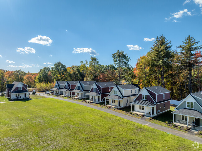
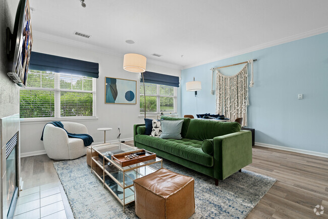
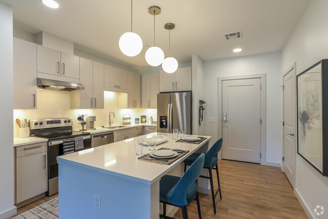
You May Also Like
Similar Rentals Nearby


What Are Walk Score®, Transit Score®, and Bike Score® Ratings?
Walk Score® measures the walkability of any address. Transit Score® measures access to public transit. Bike Score® measures the bikeability of any address.
What is a Sound Score Rating?
A Sound Score Rating aggregates noise caused by vehicle traffic, airplane traffic and local sources
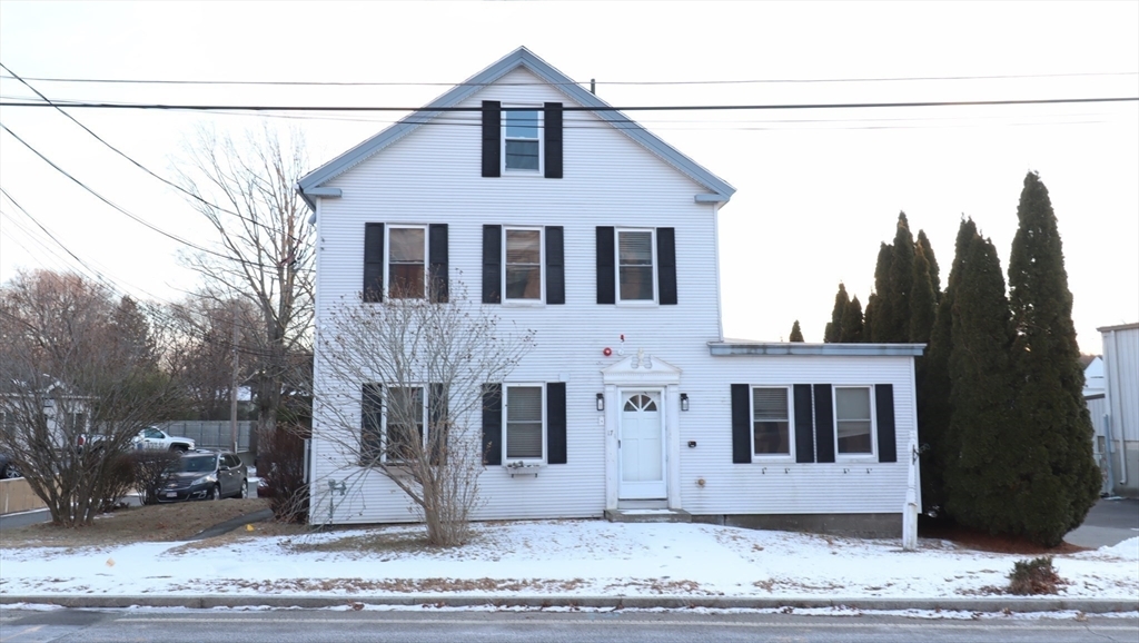
17 Brigham St
Westborough, MA 01581