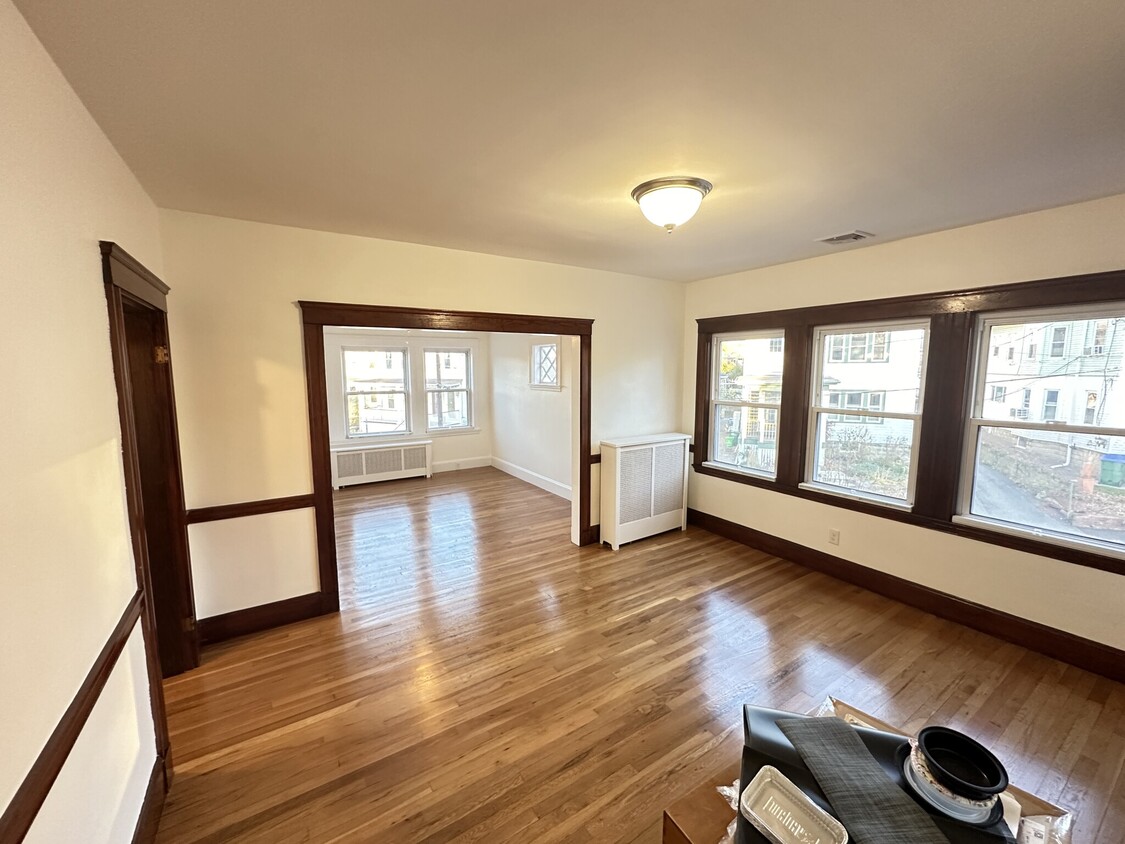
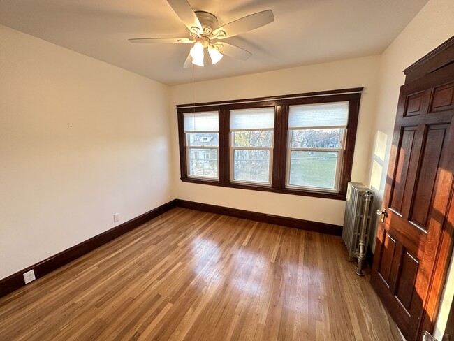
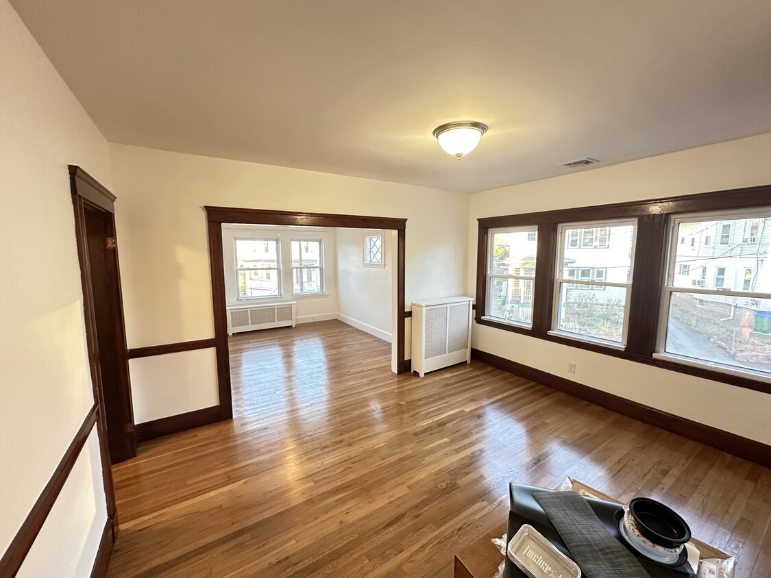
17 Dwyer Cir
Medford, MA 02155
-
Bedrooms
2
-
Bathrooms
1
-
Square Feet
1,000 sq ft
-
Available
Available Now

Fees and Policies
The fees below are based on community-supplied data and may exclude additional fees and utilities.
Details
Property Information
-
3 units
Contact
- Contact
Located along Mystic River and Interstate 93, South Medford is an ideal neighborhood for outdoor recreation and quick commutes. Barry Park is one of South Medford’s community green spaces, offering picnic areas and playgrounds, while Columbus Memorial Park offers ball fields and a basketball court. South Medford is home to a section of Tufts University, so this urban neighborhood has a college town vibe and is home to several historic sites.
With family-friendly amenities and safe residential streets, South Medford is a welcoming community that’s supportive of its fellow residents. Residents enjoy the neighborhood’s local treasures and small businesses like Oasis Café & Bakery and Bob’s Italian Foods. South Medford is just three miles north of Cambridge and five miles northwest of Boston and the Boston Logan International Airport.
Learn more about living in South Medford| Colleges & Universities | Distance | ||
|---|---|---|---|
| Colleges & Universities | Distance | ||
| Walk: | 14 min | 0.7 mi | |
| Drive: | 6 min | 2.3 mi | |
| Drive: | 6 min | 2.7 mi | |
| Drive: | 8 min | 3.4 mi |
 The GreatSchools Rating helps parents compare schools within a state based on a variety of school quality indicators and provides a helpful picture of how effectively each school serves all of its students. Ratings are on a scale of 1 (below average) to 10 (above average) and can include test scores, college readiness, academic progress, advanced courses, equity, discipline and attendance data. We also advise parents to visit schools, consider other information on school performance and programs, and consider family needs as part of the school selection process.
View GreatSchools Rating Methodology
Transportation options available in Medford include Medford/Tufts, located 0.6 mile from 17 Dwyer Cir. 17 Dwyer Cir is near General Edward Lawrence Logan International, located 8.0 miles or 15 minutes away.
| Transit / Subway | Distance | ||
|---|---|---|---|
| Transit / Subway | Distance | ||
| Walk: | 12 min | 0.6 mi | |
| Drive: | 3 min | 1.3 mi | |
|
|
Drive: | 3 min | 1.5 mi |
| Drive: | 4 min | 1.8 mi | |
|
|
Drive: | 5 min | 2.1 mi |
| Commuter Rail | Distance | ||
|---|---|---|---|
| Commuter Rail | Distance | ||
|
|
Drive: | 3 min | 1.6 mi |
|
|
Drive: | 6 min | 2.6 mi |
|
|
Drive: | 7 min | 2.6 mi |
|
|
Drive: | 6 min | 3.0 mi |
|
|
Drive: | 6 min | 3.3 mi |
| Airports | Distance | ||
|---|---|---|---|
| Airports | Distance | ||
|
General Edward Lawrence Logan International
|
Drive: | 15 min | 8.0 mi |
Time and distance from 17 Dwyer Cir.
| Shopping Centers | Distance | ||
|---|---|---|---|
| Shopping Centers | Distance | ||
| Walk: | 11 min | 0.6 mi | |
| Walk: | 11 min | 0.6 mi | |
| Drive: | 4 min | 1.8 mi |
| Parks and Recreation | Distance | ||
|---|---|---|---|
| Parks and Recreation | Distance | ||
|
Mystic River Reservation
|
Drive: | 3 min | 1.8 mi |
|
Harvard-Smithsonian Center for Astrophysics
|
Drive: | 8 min | 2.9 mi |
|
Mineralogical and Geological Museum
|
Drive: | 7 min | 3.0 mi |
|
Harvard Museum of Natural History
|
Drive: | 7 min | 3.0 mi |
|
Longfellow National Historic Site
|
Drive: | 8 min | 3.4 mi |
| Hospitals | Distance | ||
|---|---|---|---|
| Hospitals | Distance | ||
| Drive: | 9 min | 3.8 mi | |
| Drive: | 9 min | 4.4 mi | |
| Drive: | 9 min | 4.6 mi |
| Military Bases | Distance | ||
|---|---|---|---|
| Military Bases | Distance | ||
| Drive: | 22 min | 11.5 mi | |
| Drive: | 33 min | 17.2 mi |
17 Dwyer Cir Photos
What Are Walk Score®, Transit Score®, and Bike Score® Ratings?
Walk Score® measures the walkability of any address. Transit Score® measures access to public transit. Bike Score® measures the bikeability of any address.
What is a Sound Score Rating?
A Sound Score Rating aggregates noise caused by vehicle traffic, airplane traffic and local sources


