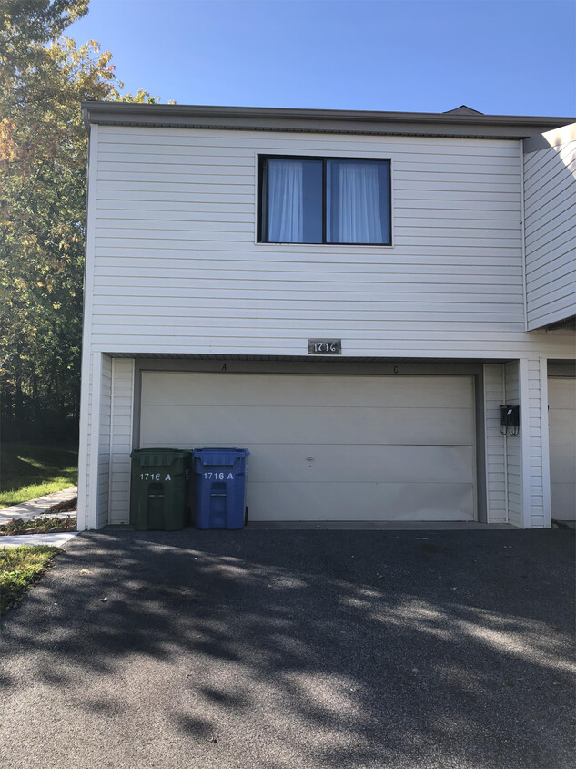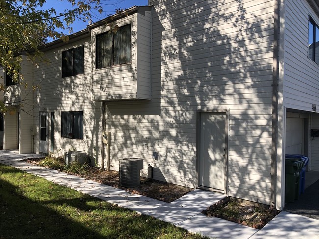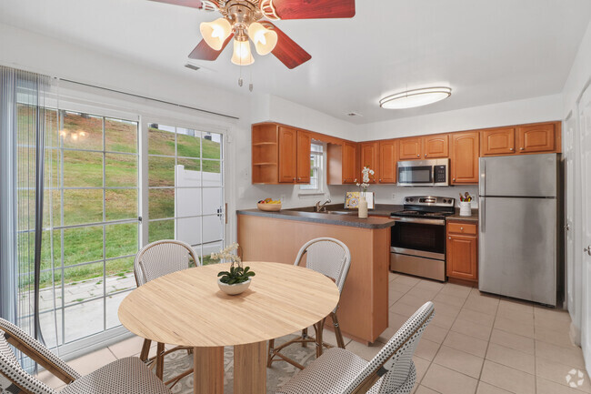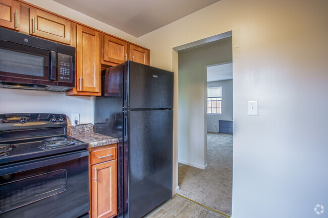

Check Back Soon for Upcoming Availability
| Beds | Baths | Average SF |
|---|---|---|
| 3 Bedrooms 3 Bedrooms 3 Br | 2 Baths 2 Baths 2 Ba | — |
 This Property
 Available Property
Situated between the commercial district of Bel Air to the north and the beautiful vistas of Chesapeake Bay to the south, Edgewood manages to find the best of both worlds. Peaceful residential roads house classically styled homes in a scenic setting. Take your pick of local favorite restaurants or vibrant nightlife establishments along Philadelphia Rd. and Pulaski Hwy., or spend an afternoon at one of the parks and green spaces scattered around the region.
There are breathtaking lookout points along the water’s edge, and Gunpowder Neck Marina is conveniently located for boat owners and the aquatically inclined. Those looking to spend the day in nearby Baltimore only have to take Pulaski Highway southwest to enjoy all the conveniences the city provides.
Learn more about living in Edgewood| Colleges & Universities | Distance | ||
|---|---|---|---|
| Colleges & Universities | Distance | ||
| Drive: | 21 min | 11.8 mi | |
| Drive: | 25 min | 12.0 mi | |
| Drive: | 31 min | 19.7 mi | |
| Drive: | 33 min | 20.2 mi |
Transportation options available in Edgewood include Johns Hopkins Hospital, located 20.4 miles from 1716 Crimson Tree Way. 1716 Crimson Tree Way is near Baltimore/Washington International Thurgood Marshall, located 31.9 miles or 46 minutes away.
| Transit / Subway | Distance | ||
|---|---|---|---|
| Transit / Subway | Distance | ||
| Drive: | 32 min | 20.4 mi | |
|
|
Drive: | 32 min | 20.7 mi |
|
|
Drive: | 32 min | 20.9 mi |
|
|
Drive: | 34 min | 22.8 mi |
|
|
Drive: | 40 min | 26.0 mi |
| Commuter Rail | Distance | ||
|---|---|---|---|
| Commuter Rail | Distance | ||
|
|
Drive: | 7 min | 3.0 mi |
|
|
Drive: | 16 min | 10.4 mi |
|
|
Drive: | 20 min | 12.0 mi |
|
|
Drive: | 28 min | 18.0 mi |
|
|
Drive: | 36 min | 21.5 mi |
| Airports | Distance | ||
|---|---|---|---|
| Airports | Distance | ||
|
Baltimore/Washington International Thurgood Marshall
|
Drive: | 46 min | 31.9 mi |
Time and distance from 1716 Crimson Tree Way.
| Shopping Centers | Distance | ||
|---|---|---|---|
| Shopping Centers | Distance | ||
| Walk: | 9 min | 0.5 mi | |
| Walk: | 10 min | 0.5 mi | |
| Walk: | 13 min | 0.7 mi |
| Parks and Recreation | Distance | ||
|---|---|---|---|
| Parks and Recreation | Distance | ||
|
Mariner Point Park
|
Drive: | 11 min | 3.9 mi |
|
Anita C. Leight Estuary Center
|
Drive: | 8 min | 4.1 mi |
|
Gunpowder Falls State Park
|
Drive: | 11 min | 5.5 mi |
|
Marshy Point Nature Center
|
Drive: | 21 min | 11.7 mi |
| Hospitals | Distance | ||
|---|---|---|---|
| Hospitals | Distance | ||
| Drive: | 14 min | 8.3 mi |
| Military Bases | Distance | ||
|---|---|---|---|
| Military Bases | Distance | ||
| Drive: | 57 min | 38.4 mi |
You May Also Like
Similar Rentals Nearby
What Are Walk Score®, Transit Score®, and Bike Score® Ratings?
Walk Score® measures the walkability of any address. Transit Score® measures access to public transit. Bike Score® measures the bikeability of any address.
What is a Sound Score Rating?
A Sound Score Rating aggregates noise caused by vehicle traffic, airplane traffic and local sources
