-
Monthly Rent
$2,500
-
Bedrooms
4 bd
-
Bathrooms
2 ba
-
Square Feet
Details

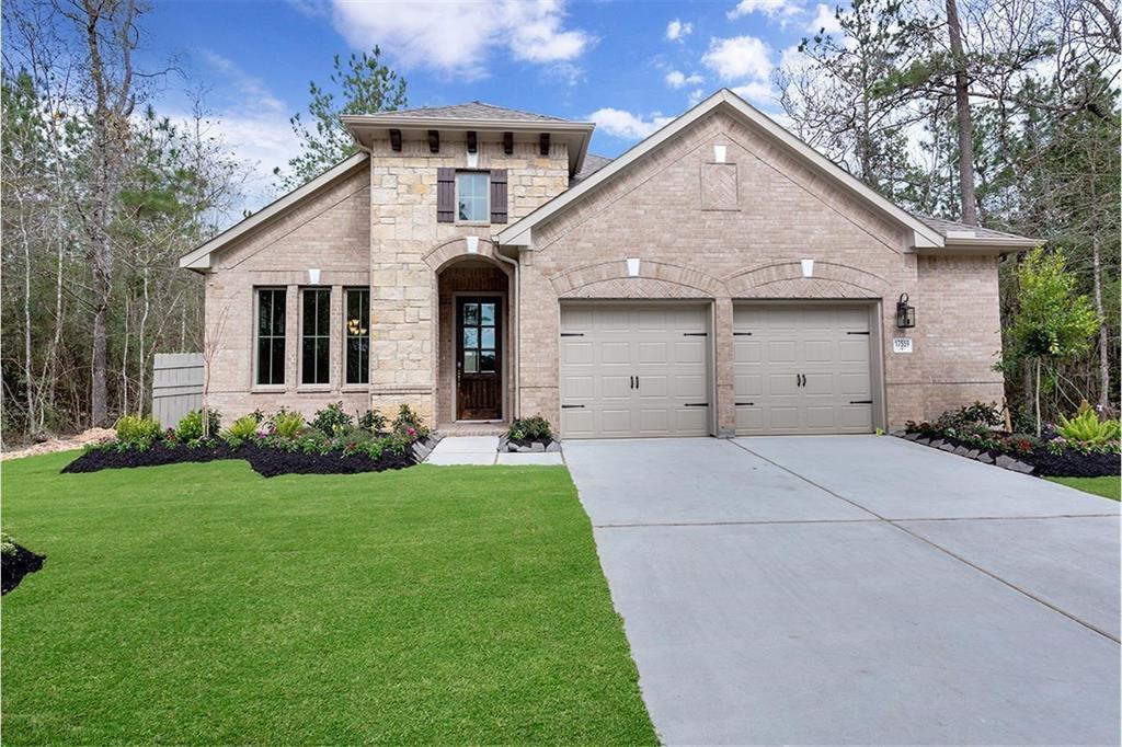
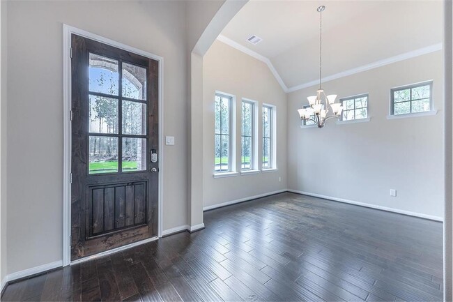
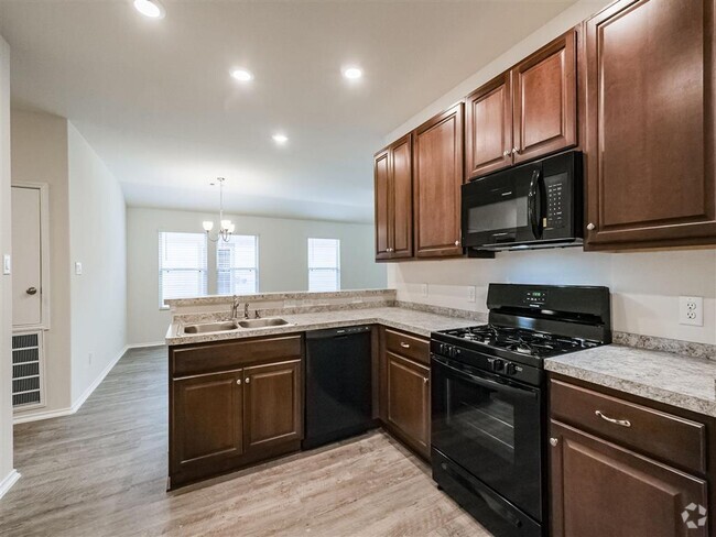
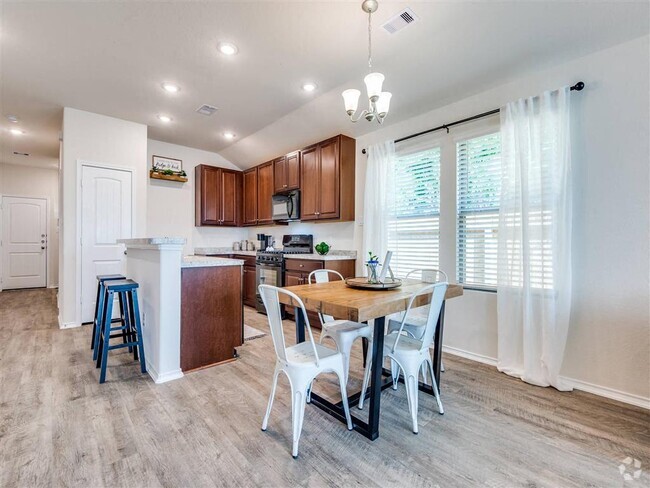
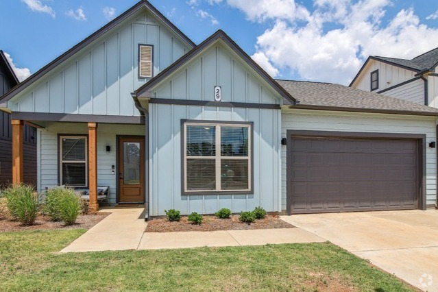
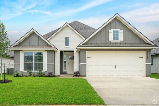
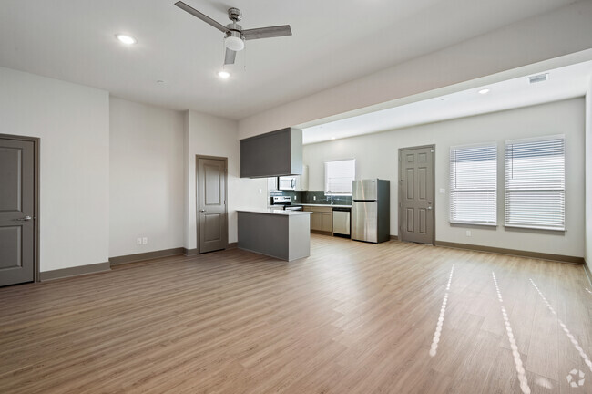
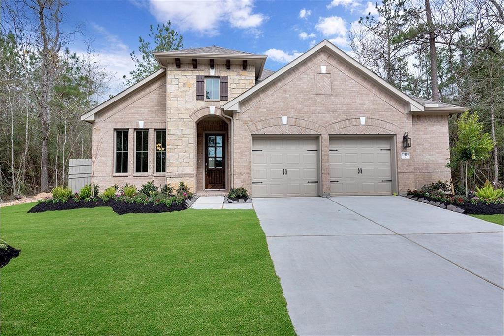
17559 Sunset Skies Rd is a house located in Montgomery County and the 77302 ZIP Code. This area is served by the Conroe Independent attendance zone.
Contact
House Features
Dishwasher
Hardwood Floors
Microwave
Disposal
- Smoke Free
- Dishwasher
- Disposal
- Microwave
- Hardwood Floors
- Carpet
Fees and Policies
The fees below are based on community-supplied data and may exclude additional fees and utilities.
- Parking
-
Garage--
Details
Lease Options
-
12 Months
 This Property
 Available Property
- Smoke Free
- Dishwasher
- Disposal
- Microwave
- Hardwood Floors
- Carpet
Called the “livable forest” for its abundant woods, Spring's Porter Heights/Woodbranch neighborhood sits midway between Houston and the expansive Sam Houston National Forest. The area features over 500 acres of parks and nature preserves, such as Peckinpaugh Preserve and Spring Creek Greenway Nature Center. Residents enjoy easy access to shopping centers like Valley Ranch Marketplace and a variety of dining options. The area is car-dependent, making major roadways like US-59 essential for commuting, with Downtown Houston just a 40-minute drive away. Lone Star College serves as a significant educational hub, contributing to the community's vibrant learning environment.
Many residents commute to nearby cities for work, taking advantage of the Houston Metro Park and Ride service to avoid rush-hour traffic. The neighborhood's history is rooted in its development as a master-planned community, maintaining its identity with annual events like the Mardi Gras Parade.
Learn more about living in Porter Heights/Woodbranch| Colleges & Universities | Distance | ||
|---|---|---|---|
| Colleges & Universities | Distance | ||
| Drive: | 15 min | 8.5 mi | |
| Drive: | 52 min | 39.4 mi | |
| Drive: | 54 min | 40.3 mi | |
| Drive: | 55 min | 41.8 mi |
Transportation options available in Conroe include Northline Transit Center / Hcc, located 35.2 miles from 17559 Sunset Skies Rd. 17559 Sunset Skies Rd is near George Bush Intcntl/Houston, located 29.6 miles or 40 minutes away.
| Transit / Subway | Distance | ||
|---|---|---|---|
| Transit / Subway | Distance | ||
|
|
Drive: | 47 min | 35.2 mi |
|
|
Drive: | 47 min | 35.7 mi |
|
|
Drive: | 49 min | 36.7 mi |
|
|
Drive: | 49 min | 36.7 mi |
|
|
Drive: | 50 min | 38.0 mi |
| Commuter Rail | Distance | ||
|---|---|---|---|
| Commuter Rail | Distance | ||
|
|
Drive: | 53 min | 39.1 mi |
| Airports | Distance | ||
|---|---|---|---|
| Airports | Distance | ||
|
George Bush Intcntl/Houston
|
Drive: | 40 min | 29.6 mi |
Time and distance from 17559 Sunset Skies Rd.
| Shopping Centers | Distance | ||
|---|---|---|---|
| Shopping Centers | Distance | ||
| Drive: | 4 min | 1.7 mi | |
| Drive: | 10 min | 4.7 mi | |
| Drive: | 9 min | 5.5 mi |
| Parks and Recreation | Distance | ||
|---|---|---|---|
| Parks and Recreation | Distance | ||
|
Peckinpaugh Preserve
|
Drive: | 25 min | 16.2 mi |
|
Spring Creek Greenway Nature Center
|
Drive: | 25 min | 16.3 mi |
|
Old Riley Fuzzel Preserve
|
Drive: | 25 min | 16.4 mi |
|
Spring Trails Preserve
|
Drive: | 29 min | 17.6 mi |
|
Pundt Park
|
Drive: | 34 min | 21.0 mi |
| Hospitals | Distance | ||
|---|---|---|---|
| Hospitals | Distance | ||
| Drive: | 13 min | 8.0 mi | |
| Drive: | 14 min | 8.2 mi | |
| Drive: | 19 min | 11.5 mi |
| Military Bases | Distance | ||
|---|---|---|---|
| Military Bases | Distance | ||
| Drive: | 86 min | 64.7 mi | |
| Drive: | 114 min | 90.2 mi |
You May Also Like
Similar Rentals Nearby
-
-
-
1 / 170Single-Family Homes Discounts
Pets Allowed Patio Ceiling Fans Playground Washer & Dryer Hookups Yard
-
Single-Family Homes Discounts
Pets Allowed Range Maintenance on site Microwave Heat Ceiling Fans
-
-
1 / 33Single-Family Homes Specials
Pets Allowed Pool Refrigerator Kitchen Clubhouse Range
-
-
-
$1,7854 Beds, 2.5 Baths, 1,947 sq ftHouse for Rent
-
$1,8854 Beds, 2.5 Baths, 1,677 sq ftHouse for Rent
What Are Walk Score®, Transit Score®, and Bike Score® Ratings?
Walk Score® measures the walkability of any address. Transit Score® measures access to public transit. Bike Score® measures the bikeability of any address.
What is a Sound Score Rating?
A Sound Score Rating aggregates noise caused by vehicle traffic, airplane traffic and local sources
