$900 / Month
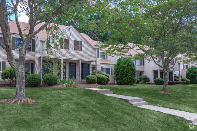
18 High Street
Killingly, CT 06239
2 Weeks Ago
Favorites
18 High Street

Favorites
Check Back Soon for Upcoming Availability
| Beds | Baths | Average SF |
|---|---|---|
| 2 Bedrooms 2 Bedrooms 2 Br | 1 Bath 1 Bath 1 Ba | 1,000 SF |
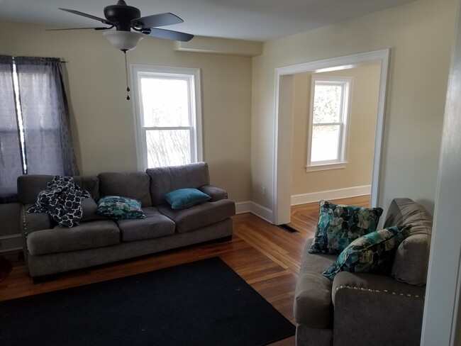
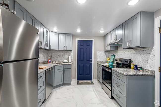
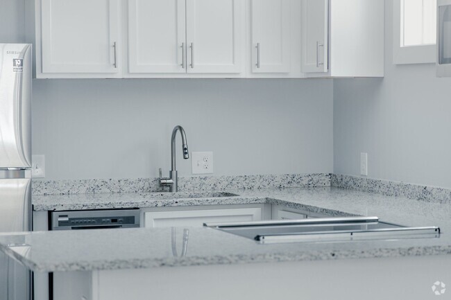
About This Property
18 High Street is an apartment community located in Windham County and the 06239 ZIP Code.
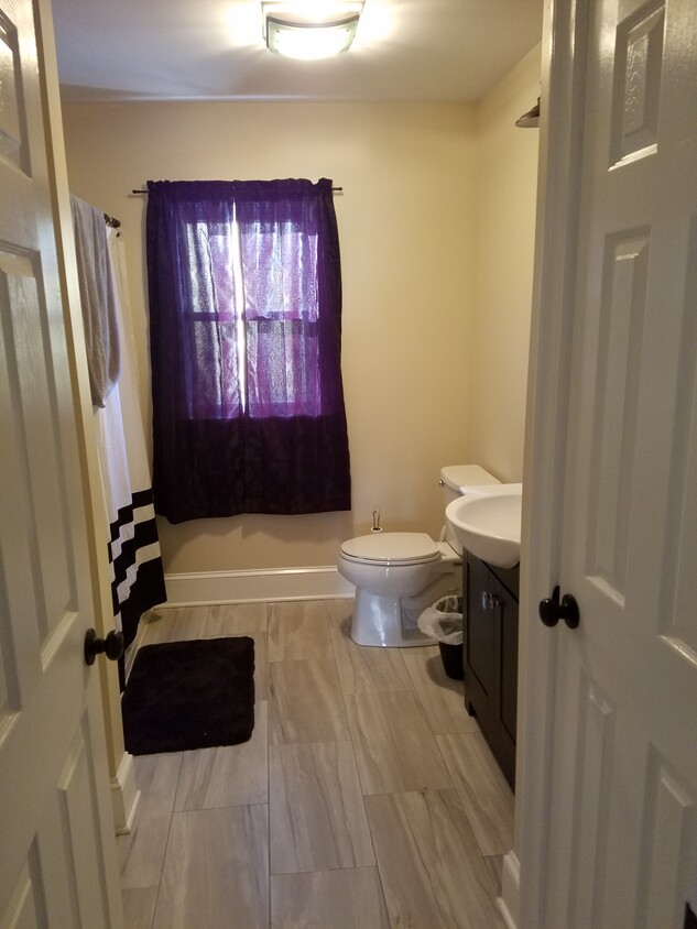
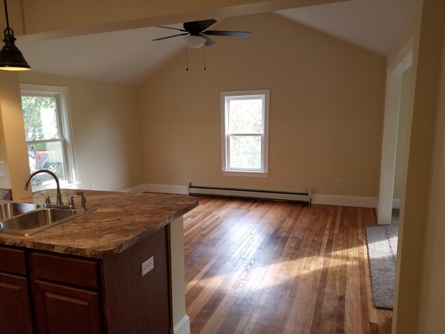
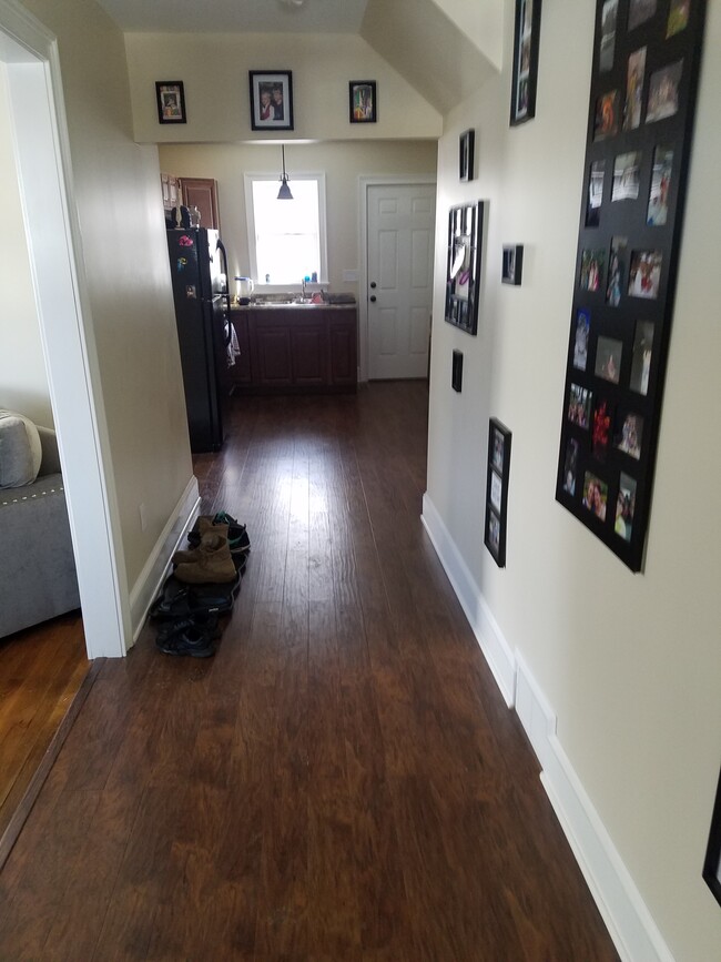
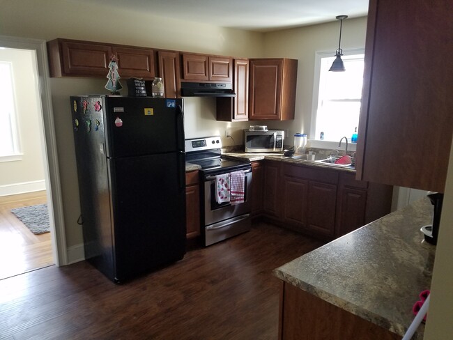
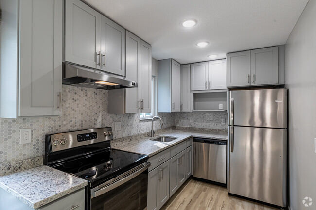
Apartment Features
- Washer/Dryer
- Hardwood Floors
- Yard
Fees and Policies
The fees below are based on community-supplied data and may exclude additional fees and utilities.
Location
Get Directions
Amenities
- Washer/Dryer
- Hardwood Floors
- Yard
Education
| Colleges & Universities | Distance | ||
|---|---|---|---|
| Colleges & Universities | Distance | ||
| Drive: | 32 min | 20.9 mi | |
| Drive: | 36 min | 25.8 mi | |
| Drive: | 39 min | 26.5 mi | |
| Drive: | 42 min | 28.7 mi |
18 High Street is within 32 minutes or 20.9 miles from Eastern Connecticut. It is also near University of Connecticut and Bryant University.
You May Also Like
Similar Rentals Nearby


What Are Walk Score®, Transit Score®, and Bike Score® Ratings?
Walk Score® measures the walkability of any address. Transit Score® measures access to public transit. Bike Score® measures the bikeability of any address.
What is a Sound Score Rating?
A Sound Score Rating aggregates noise caused by vehicle traffic, airplane traffic and local sources

18 High Street
Killingly, CT 06239