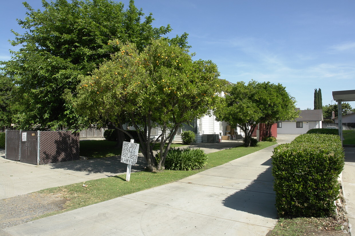
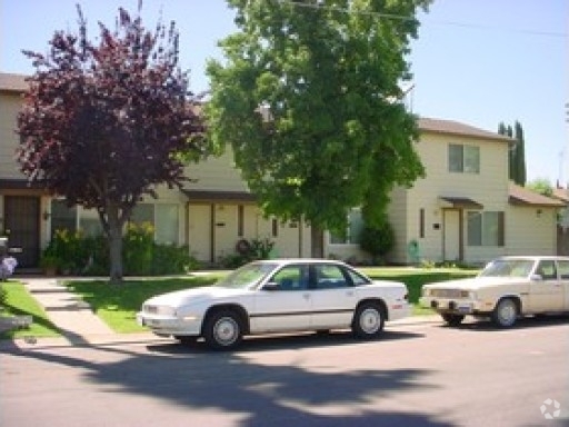
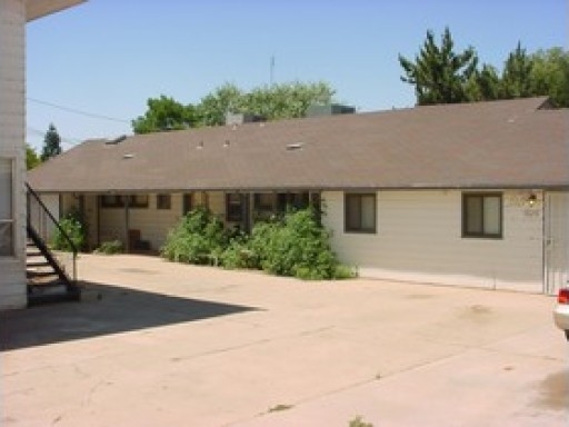
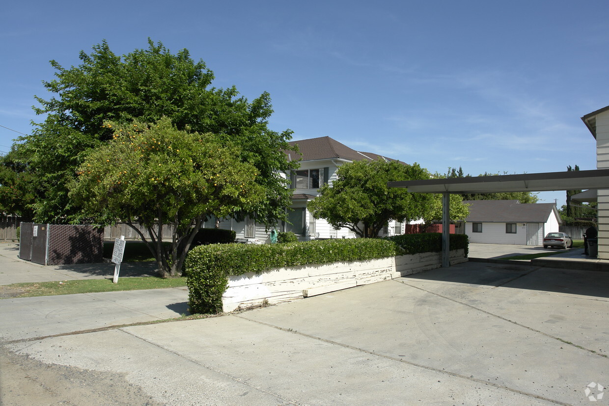
1815-1823 W State Highway 140
1815-1823 W State Highway 140,
Merced,
CA
95341
2 Weeks Ago
Favorites
1815-1823 W State Highway 140
Favorites
Check Back Soon for Upcoming Availability
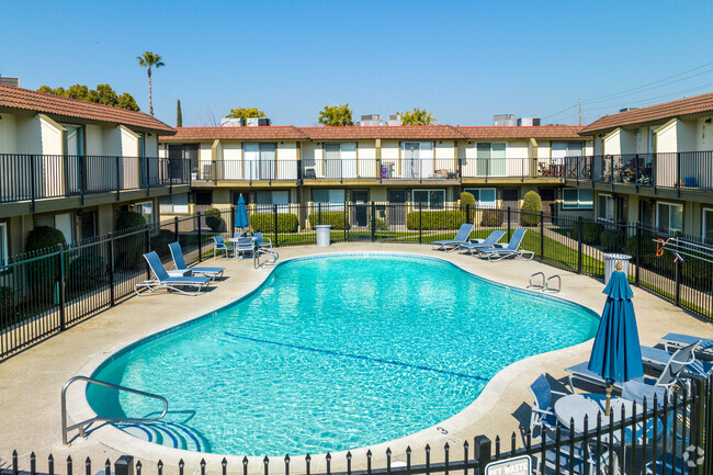
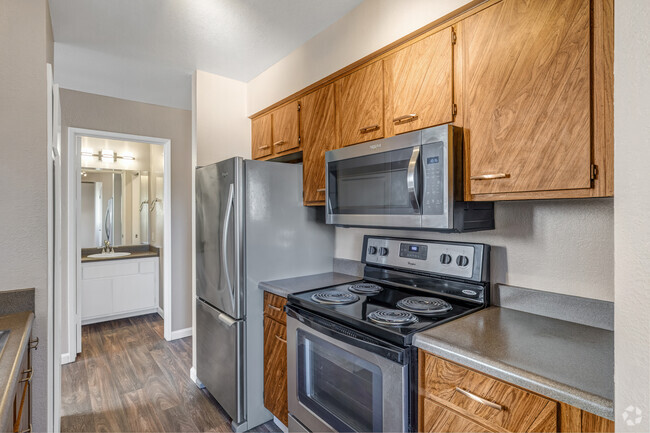
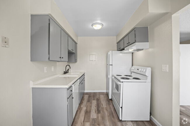
About 1815-1823 W State Highway 140 Merced, CA 95341
Experience Merced living at 1815-1823 W State Highway 140. The 95341 location in Merced has much to offer its residents. Schedule a time to see the available floorplan options. The professional leasing staff is ready to help you find the perfect place. Stop by to find out the current pricing.
1815-1823 W State Highway 140 is an apartment community located in Merced County and the 95341 ZIP Code. This area is served by the Merced City Elementary attendance zone.
Fees and Policies
The fees below are based on community-supplied data and may exclude additional fees and utilities.
- Parking
-
Surface Lot--1 Max
Details
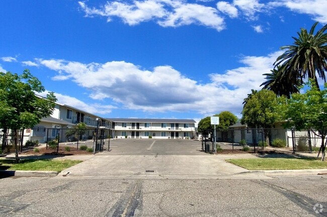
Property Information
-
13 units/2 stories
Property Address:
1815-1823 W State Highway 140,
Merced,
CA
95341
Education
| Colleges & Universities | Distance | ||
|---|---|---|---|
| Colleges & Universities | Distance | ||
| Drive: | 10 min | 4.1 mi | |
| Drive: | 16 min | 8.7 mi | |
| Drive: | 37 min | 27.8 mi | |
| Drive: | 50 min | 39.3 mi |
1815-1823 W State Highway 140 is within 10 minutes or 4.1 miles from Merced College, Merced. It is also near UC Merced and Stanislaus State.
Schools
Public Elementary School
Grades K-5
585 Students
Nearby
6
Out of 10
Charter Elementary, Middle & High School
Grades K-12
281 Students
Nearby
4
Out of 10
Public Elementary School
Grades K-6
526 Students
Attendance Zone
5
Out of 10
Public Middle School
Grades 7-8
563 Students
Attendance Zone
3
Out of 10
Public High School
Grades 9-12
1,839 Students
Attendance Zone
6
Out of 10
Private Elementary, Middle & High School
Grades PK-12
47 Students
Nearby
School data provided by
GreatSchools
The GreatSchools Rating helps parents compare schools within a state based on a variety of school quality indicators and provides a helpful picture of how effectively each school serves all of its students. Ratings are on a scale of 1 (below average) to 10 (above average) and can include test scores, college readiness, academic progress, advanced courses, equity, discipline and attendance data. We also advise parents to visit schools, consider other information on school performance and programs, and consider family needs as part of the school selection process.
You May Also Like
Similar Rentals Nearby


What Are Walk Score®, Transit Score®, and Bike Score® Ratings?
Walk Score® measures the walkability of any address. Transit Score® measures access to public transit. Bike Score® measures the bikeability of any address.
What is a Sound Score Rating?
A Sound Score Rating aggregates noise caused by vehicle traffic, airplane traffic and local sources
Responded To This Review