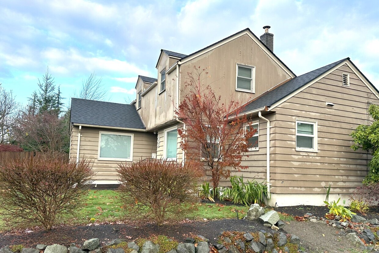
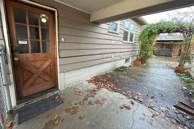
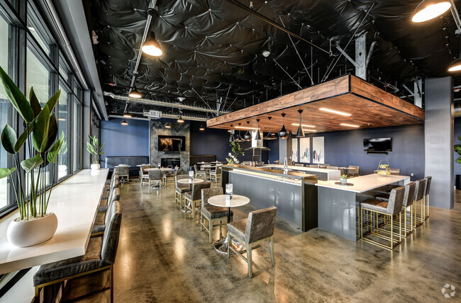
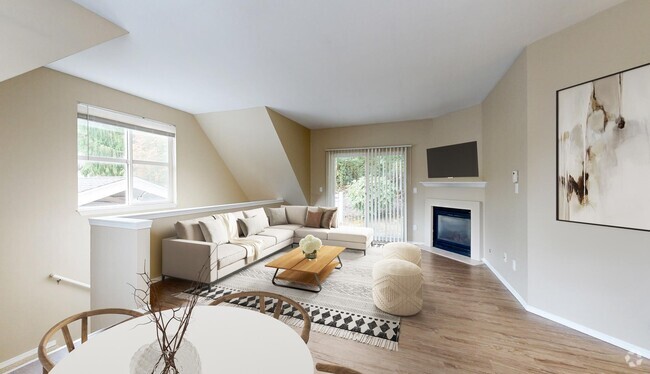
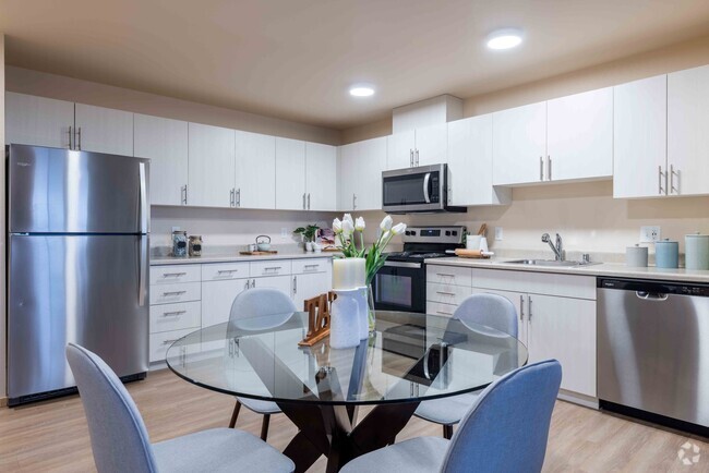
1825 Fourth St Unit Apt 2
Marysville, WA 98270

Check Back Soon for Upcoming Availability
| Beds | Baths | Average SF |
|---|---|---|
| 2 Bedrooms 2 Bedrooms 2 Br | 1 Bath 1 Bath 1 Ba | 1,500 SF |
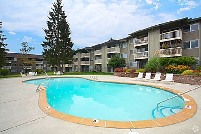
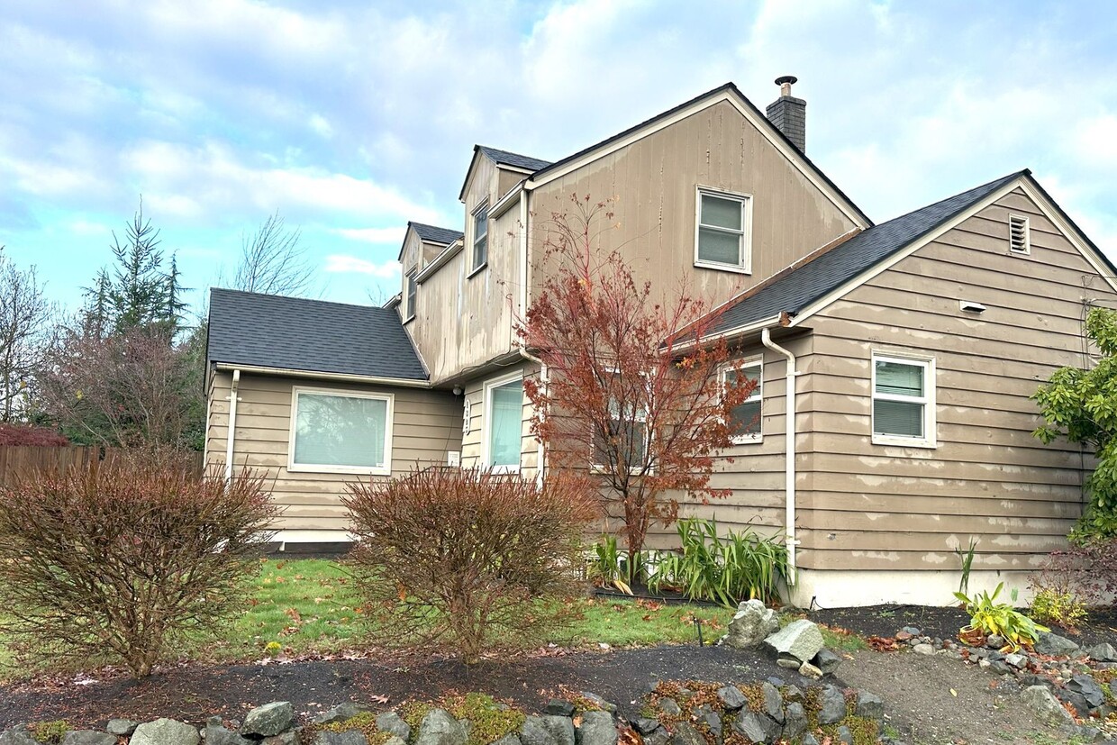
1825 Fourth St is an apartment community located in Snohomish County and the 98270 ZIP Code.
Features
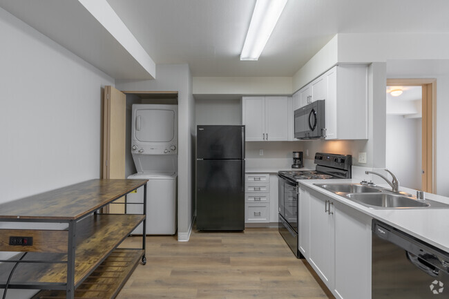
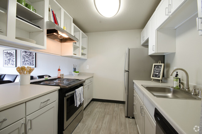
- Dishwasher
Fees and Policies
Downtown Marysville is a delightful neighborhood on the Snohomish River delta with stunning views of the Cascade Mountain peaks. The area surrounding Comeford Park is full of locally-owned restaurants and coffee shops with expansive sports facilities just a few blocks away, giving locals an excellent common area to spend their free time.
Jennings Memorial Park and Ebey Waterfront Park are also quite popular venues for enjoying the natural beauty of the Pacific Northwest. The convenient location adjacent to Interstate 5 makes it easy for folks living in downtown to hop down to Everett in about fifteen minutes, or Seattle in less than an hour.
Learn more about living in Downtown MarysvilleBelow are rent ranges for similar nearby apartments
- Dishwasher
| Colleges & Universities | Distance | ||
|---|---|---|---|
| Colleges & Universities | Distance | ||
| Drive: | 6 min | 4.0 mi | |
| Drive: | 31 min | 20.8 mi | |
| Drive: | 32 min | 24.6 mi | |
| Drive: | 43 min | 27.5 mi |
Transportation options available in Marysville include Northgate Station, located 27.9 miles from 1825 Fourth St Unit Apt 2. 1825 Fourth St Unit Apt 2 is near Seattle Paine Field International, located 15.0 miles or 22 minutes away.
| Transit / Subway | Distance | ||
|---|---|---|---|
| Transit / Subway | Distance | ||
| Drive: | 37 min | 27.9 mi | |
| Drive: | 39 min | 29.8 mi | |
| Drive: | 41 min | 31.0 mi | |
| Drive: | 44 min | 33.2 mi | |
|
|
Drive: | 43 min | 33.5 mi |
| Commuter Rail | Distance | ||
|---|---|---|---|
| Commuter Rail | Distance | ||
|
|
Drive: | 11 min | 6.8 mi |
|
|
Drive: | 23 min | 13.5 mi |
|
|
Drive: | 26 min | 19.6 mi |
|
|
Drive: | 37 min | 24.7 mi |
|
|
Drive: | 33 min | 28.2 mi |
| Airports | Distance | ||
|---|---|---|---|
| Airports | Distance | ||
|
Seattle Paine Field International
|
Drive: | 22 min | 15.0 mi |
Time and distance from 1825 Fourth St Unit Apt 2.
| Shopping Centers | Distance | ||
|---|---|---|---|
| Shopping Centers | Distance | ||
| Walk: | 2 min | 0.1 mi | |
| Walk: | 10 min | 0.6 mi | |
| Walk: | 11 min | 0.6 mi |
| Parks and Recreation | Distance | ||
|---|---|---|---|
| Parks and Recreation | Distance | ||
|
Wiggums Hollow Park
|
Drive: | 7 min | 4.0 mi |
|
Langus Riverfront Park
|
Drive: | 10 min | 4.6 mi |
|
South View Park
|
Drive: | 8 min | 5.1 mi |
|
Summit Park
|
Drive: | 10 min | 5.3 mi |
|
Jetty Island
|
Drive: | 10 min | 5.6 mi |
| Hospitals | Distance | ||
|---|---|---|---|
| Hospitals | Distance | ||
| Drive: | 9 min | 4.7 mi | |
| Drive: | 21 min | 12.9 mi |
| Military Bases | Distance | ||
|---|---|---|---|
| Military Bases | Distance | ||
| Drive: | 12 min | 7.1 mi | |
| Drive: | 72 min | 34.4 mi |
You May Also Like
Similar Rentals Nearby
-
-
-
-
-
1 / 32
-
-
-
-
-
What Are Walk Score®, Transit Score®, and Bike Score® Ratings?
Walk Score® measures the walkability of any address. Transit Score® measures access to public transit. Bike Score® measures the bikeability of any address.
What is a Sound Score Rating?
A Sound Score Rating aggregates noise caused by vehicle traffic, airplane traffic and local sources
