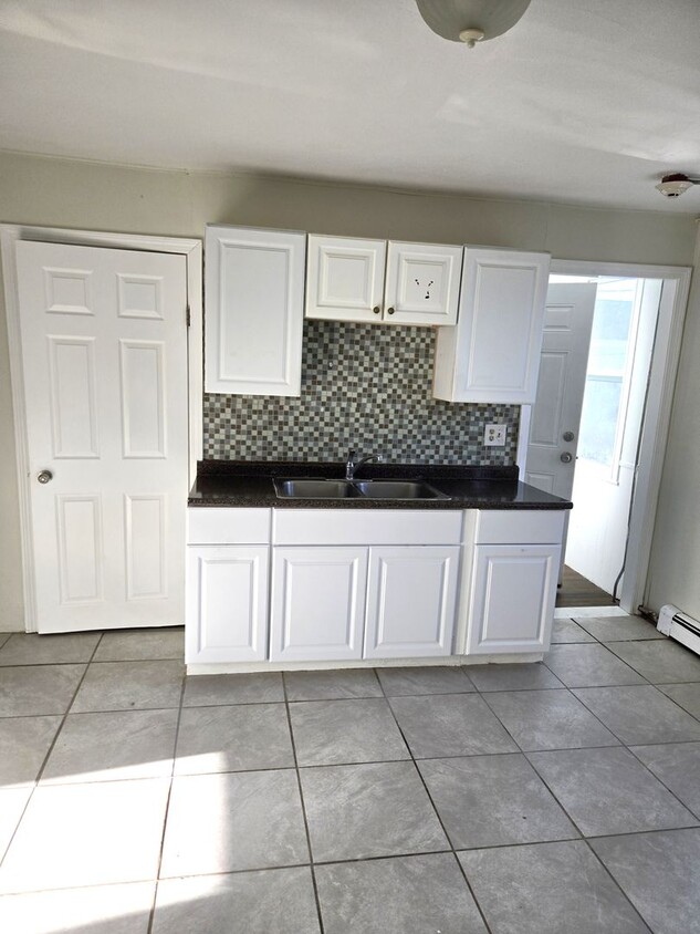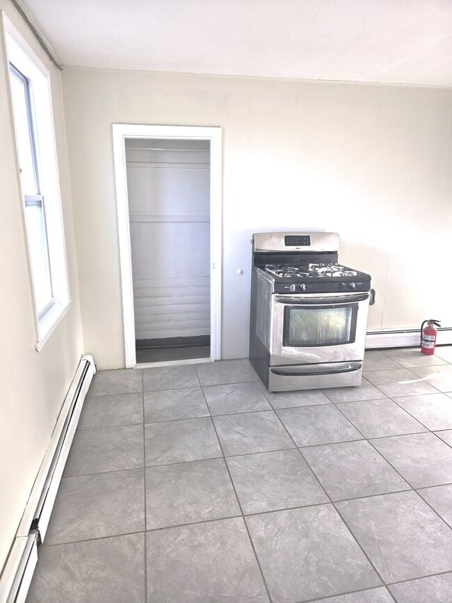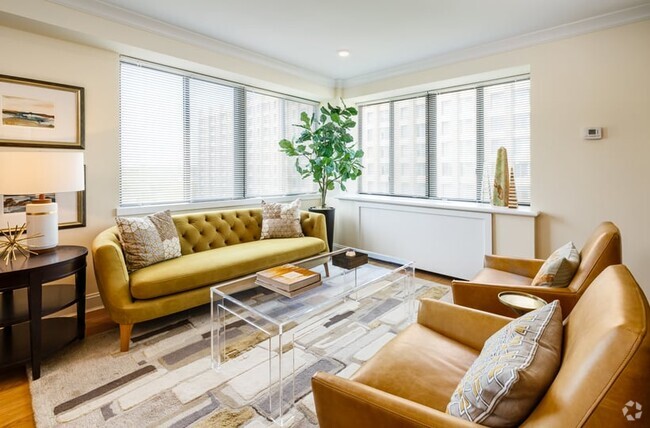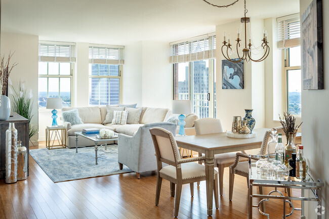
-
Monthly Rent
$1,695
-
Bedrooms
3 bd
-
Bathrooms
1.5 ba
-
Square Feet
1,200 sq ft
Details

 This Property
 Available Property
Valley is a diverse, urban neighborhood located about two miles west of Downtown Providence. Along with offering affordable to upscale rentals for rent, Valley is a bustling commercial district housing several business parks and small businesses. Residents also have access to a wide variety of shops and diverse restaurants serving everything from fried plantain to cheesy pizza. Valley is north of Federal Hill and Elmhurst, so residents head to these two popular areas for more options as well. The neighborhood is best known for housing the Providence Veterans Affairs Medical Center. Great for professionals and students, Valley is less than 15 minutes away from Downtown Providence and College Hill, home to Brown University and the Rhode Island School of Design. Similar to many Providence areas, Valley provides quiet suburban living within a thriving city.
Learn more about living in Valley| Colleges & Universities | Distance | ||
|---|---|---|---|
| Colleges & Universities | Distance | ||
| Drive: | 5 min | 1.8 mi | |
| Drive: | 5 min | 1.8 mi | |
| Drive: | 5 min | 2.0 mi | |
| Drive: | 5 min | 2.1 mi |
Transportation options available in Providence include Mattapan Station, located 39.8 miles from 184-186-186 Allston St Unit #2R. 184-186-186 Allston St Unit #2R is near Rhode Island Tf Green International, located 10.5 miles or 21 minutes away.
| Transit / Subway | Distance | ||
|---|---|---|---|
| Transit / Subway | Distance | ||
|
|
Drive: | 55 min | 39.8 mi |
|
|
Drive: | 58 min | 42.0 mi |
| Commuter Rail | Distance | ||
|---|---|---|---|
| Commuter Rail | Distance | ||
|
|
Drive: | 5 min | 2.0 mi |
| Drive: | 10 min | 5.5 mi | |
|
|
Drive: | 15 min | 8.6 mi |
| Drive: | 17 min | 8.7 mi | |
|
|
Drive: | 21 min | 13.5 mi |
| Airports | Distance | ||
|---|---|---|---|
| Airports | Distance | ||
|
Rhode Island Tf Green International
|
Drive: | 21 min | 10.5 mi |
Time and distance from 184-186-186 Allston St Unit #2R.
| Shopping Centers | Distance | ||
|---|---|---|---|
| Shopping Centers | Distance | ||
| Walk: | 10 min | 0.5 mi | |
| Drive: | 4 min | 1.2 mi | |
| Drive: | 3 min | 1.3 mi |
| Parks and Recreation | Distance | ||
|---|---|---|---|
| Parks and Recreation | Distance | ||
|
Woonasquatucket River Greenway - Riverside Park
|
Drive: | 4 min | 1.3 mi |
|
Roger Williams National Memorial
|
Drive: | 5 min | 1.8 mi |
|
Providence Children's Museum
|
Drive: | 6 min | 2.2 mi |
|
Ladd Observatory
|
Drive: | 7 min | 2.5 mi |
|
Roger Williams Park Zoo
|
Drive: | 12 min | 4.7 mi |
| Hospitals | Distance | ||
|---|---|---|---|
| Hospitals | Distance | ||
| Walk: | 7 min | 0.4 mi | |
| Drive: | 6 min | 2.4 mi | |
| Drive: | 6 min | 2.7 mi |
| Military Bases | Distance | ||
|---|---|---|---|
| Military Bases | Distance | ||
| Drive: | 36 min | 21.8 mi | |
| Drive: | 66 min | 38.3 mi |
You May Also Like
Similar Rentals Nearby
What Are Walk Score®, Transit Score®, and Bike Score® Ratings?
Walk Score® measures the walkability of any address. Transit Score® measures access to public transit. Bike Score® measures the bikeability of any address.
What is a Sound Score Rating?
A Sound Score Rating aggregates noise caused by vehicle traffic, airplane traffic and local sources
