-
Monthly Rent
$3,100
-
Bedrooms
2 bd
-
Bathrooms
1 ba
-
Square Feet
800 sq ft
Details

About This Property
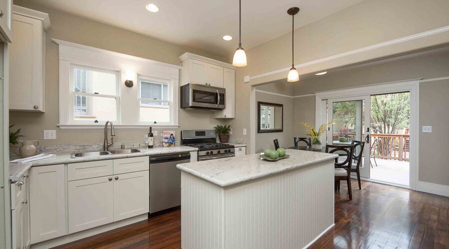
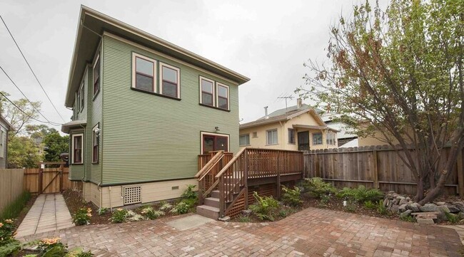
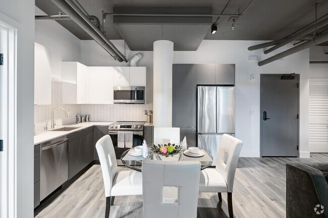
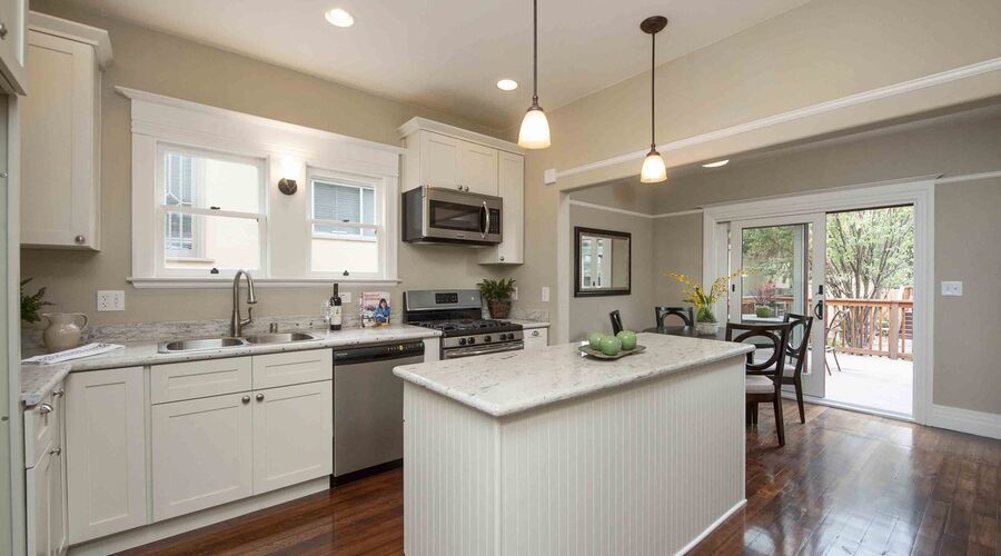
---- SCHEDULE A SHOWING ONLINE AT: ---- South Berkeley is a true treat. With more bike paths than any city around, you can truly experience the outdoors. Traditional and alternative schools, a variety of food markets, local cinemas and even a tool lending library. A spectacular kitchen is the focal point of this home. With bright white marble counters, pristine drop lighting and delicious hardwood floors, you'll love spending entertaining. The ease of a brand new dishwasher and stainless appliances are a dream, too. Unit Highlights: - Deep walnut hardwood floors - Ample lighting - Spacious closets - Updated kitchen with stainless steel apps, dishwasher and disposal - Shower/tub combo with sparkling pedestal sink - Large Patio - In-unit washer/dryer - Owner pays: landscaping services Neighborhood Highlights: -Short drive to Dover Park, Bushrod Park & Rockridge-Temescal Greenbelt -Short drive to Safeway & Whole Foods -Walking distance to Lemat, Cholita Linda & Asmara Transportation: -Walking distance to Ashby Bart Station -Easy access to 80, 580, 123 & 13 freeway Landscaping Services
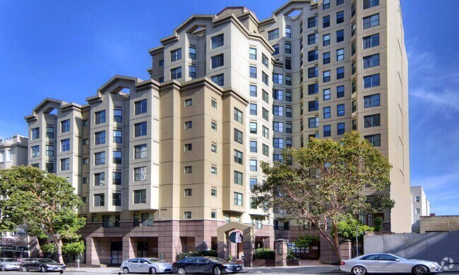
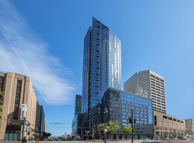
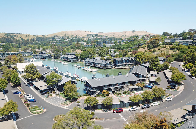
1840 63rd St is an apartment community located in Alameda County and the 94703 ZIP Code.
Fees and Policies
The fees below are based on community-supplied data and may exclude additional fees and utilities.
- Dogs Allowed
-
Fees not specified
- Cats Allowed
-
Fees not specified
 This Property
 Available Property
Upper Telegraph is a centrally located neighborhood in the city of Oakland. Upper Telegraph is home to numerous local staples like Bushrod Park and Community Garden, healthcare centers, and a busy commercial strip along Telegraph Avenue. Locals can easily shop in the neighborhood or head less than 10 miles south to Downtown Oakland for places like Jack London Square and the Uptown District. More great features offered by Downtown Oakland include scenic sites like the Bonsai Garden and Lake Merritt. While Downtown Oakland is Upper Telegraph’s southern neighbor, the city of Berkeley is the neighborhood’s northern neighbor. Downtown Berkeley, the University of California-Berkley, and several national and state parks sit just north of Upper Telegraph.
Learn more about living in Upper Telegraph| Colleges & Universities | Distance | ||
|---|---|---|---|
| Colleges & Universities | Distance | ||
| Drive: | 6 min | 1.9 mi | |
| Drive: | 7 min | 2.5 mi | |
| Drive: | 10 min | 3.1 mi | |
| Drive: | 8 min | 3.6 mi |
Transportation options available in Berkeley include Ashby Station, located 0.5 miles from 1840 63rd St. 1840 63rd St is near Metro Oakland International, located 13.0 miles or 21 minutes away, and San Francisco International, located 22.9 miles or 36 minutes away.
| Transit / Subway | Distance | ||
|---|---|---|---|
| Transit / Subway | Distance | ||
|
|
Walk: | 9 min | 0.5 mi |
|
|
Drive: | 6 min | 2.1 mi |
|
|
Drive: | 6 min | 2.1 mi |
|
|
Drive: | 8 min | 2.7 mi |
|
|
Drive: | 8 min | 3.6 mi |
| Commuter Rail | Distance | ||
|---|---|---|---|
| Commuter Rail | Distance | ||
|
|
Drive: | 4 min | 1.6 mi |
|
|
Drive: | 9 min | 4.3 mi |
|
|
Drive: | 9 min | 4.7 mi |
| Drive: | 18 min | 10.4 mi | |
| Drive: | 20 min | 11.7 mi |
| Airports | Distance | ||
|---|---|---|---|
| Airports | Distance | ||
|
Metro Oakland International
|
Drive: | 21 min | 13.0 mi |
|
San Francisco International
|
Drive: | 36 min | 22.9 mi |
Time and distance from 1840 63rd St.
| Shopping Centers | Distance | ||
|---|---|---|---|
| Shopping Centers | Distance | ||
| Drive: | 4 min | 1.4 mi | |
| Drive: | 4 min | 1.4 mi | |
| Drive: | 5 min | 1.7 mi |
| Parks and Recreation | Distance | ||
|---|---|---|---|
| Parks and Recreation | Distance | ||
|
Willard Park
|
Drive: | 5 min | 1.6 mi |
|
Habitot Children's Museum
|
Drive: | 5 min | 1.8 mi |
|
People's Park
|
Drive: | 6 min | 2.0 mi |
|
UC Berkeley Museum of Paleontology
|
Drive: | 8 min | 2.2 mi |
|
Strawberry Creek Park
|
Drive: | 7 min | 2.4 mi |
| Hospitals | Distance | ||
|---|---|---|---|
| Hospitals | Distance | ||
| Drive: | 3 min | 1.1 mi | |
| Drive: | 4 min | 1.3 mi | |
| Drive: | 6 min | 2.5 mi |
| Military Bases | Distance | ||
|---|---|---|---|
| Military Bases | Distance | ||
| Drive: | 15 min | 5.6 mi | |
| Drive: | 17 min | 7.1 mi |
You May Also Like
Similar Rentals Nearby
What Are Walk Score®, Transit Score®, and Bike Score® Ratings?
Walk Score® measures the walkability of any address. Transit Score® measures access to public transit. Bike Score® measures the bikeability of any address.
What is a Sound Score Rating?
A Sound Score Rating aggregates noise caused by vehicle traffic, airplane traffic and local sources
