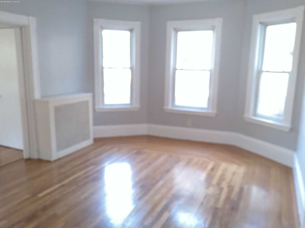
185 Poplar St Unit 1
Boston, MA 02131

Check Back Soon for Upcoming Availability
| Beds | Baths | Average SF |
|---|---|---|
| 3 Bedrooms 3 Bedrooms 3 Br | 1 Bath 1 Bath 1 Ba | 1,255 SF |
About This Property
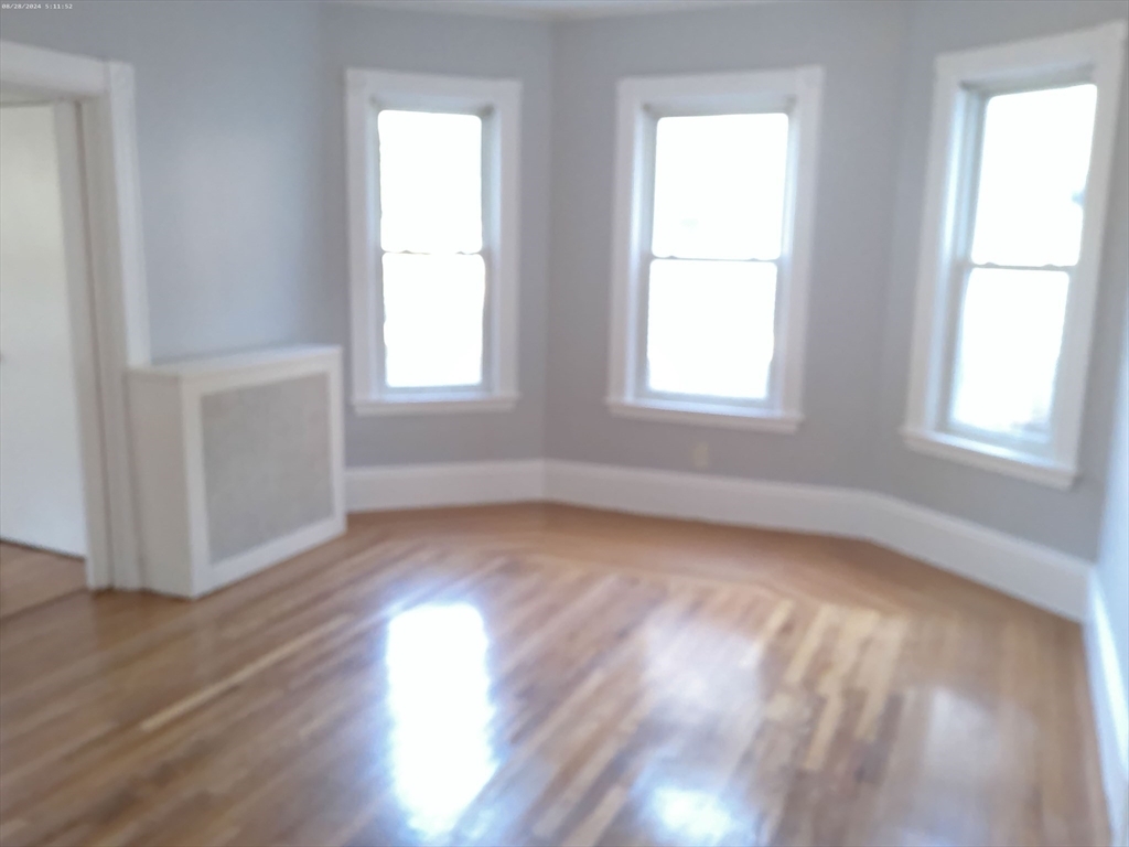
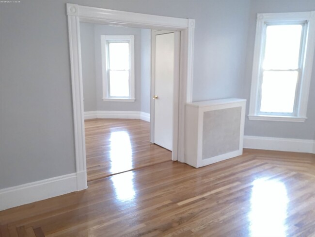
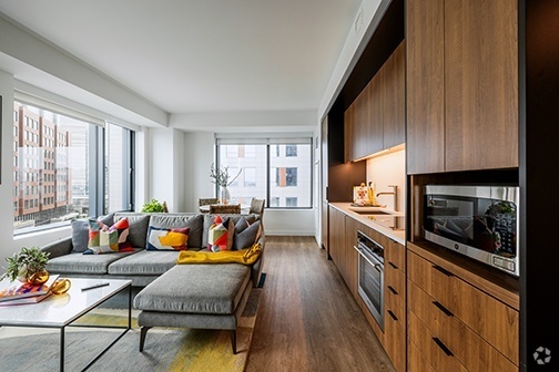
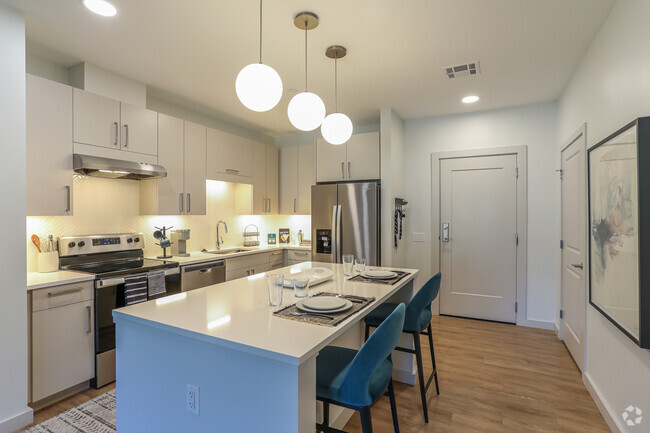
Rent $3,500 Avail Date NOW (09/13/2024) Beds 3 Baths 1 Cooperative Compentation Tenant Rent Includes Water Square Footage 1255 Laundry In Building Pet No Parking - Property Type - Heating Natural Gas, Hot Water, Individual Unit Level - Student -
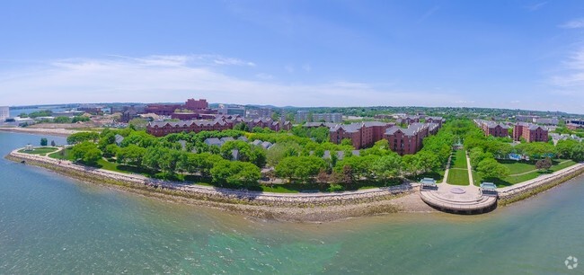
185 Poplar St is an apartment community located in Suffolk County and the 02131 ZIP Code. This area is served by the Boston Public Schools attendance zone.
Apartment Features
Washer/Dryer
Smoke Free
Heating
Instant Hot Water
- Washer/Dryer
- Heating
- Smoke Free
- Instant Hot Water
- Laundry Facilities
Fees and Policies
The fees below are based on community-supplied data and may exclude additional fees and utilities.
Details
Utilities Included
-
Water
Metropolitan Hill-Beech Street is a predominantly residential portion of Roslindale, brimming with colorful historic buildings strewn along quiet tree-lined streets. Metropolitan Hill-Beech Street also contains a slew of locally owned shops and diverse eateries on Washington Street in addition to the vibrant Roslindale Village Main Street, which is commonly referred to as Rozzie Square.
Area residents enjoy a small-town feel, and quick access to lush green spaces like Bellevue Hill Park, West Roxbury Parkway, Sherrin Woods, and the George Wright Golf Course. The expansive Franklin Park and its many attractions are just a few minutes north of the area as well. Convenience to the MBTA Needham Line makes commuting and traveling into Boston a breeze.
Learn more about living in Metropolitan Hill-Beech StBelow are rent ranges for similar nearby apartments
- Washer/Dryer
- Heating
- Smoke Free
- Instant Hot Water
- Laundry Facilities
| Colleges & Universities | Distance | ||
|---|---|---|---|
| Colleges & Universities | Distance | ||
| Drive: | 9 min | 3.8 mi | |
| Drive: | 10 min | 4.7 mi | |
| Drive: | 10 min | 5.1 mi | |
| Drive: | 10 min | 5.3 mi |
 The GreatSchools Rating helps parents compare schools within a state based on a variety of school quality indicators and provides a helpful picture of how effectively each school serves all of its students. Ratings are on a scale of 1 (below average) to 10 (above average) and can include test scores, college readiness, academic progress, advanced courses, equity, discipline and attendance data. We also advise parents to visit schools, consider other information on school performance and programs, and consider family needs as part of the school selection process.
View GreatSchools Rating Methodology
Transportation options available in Boston include Forest Hills Station, located 1.8 miles from 185 Poplar St Unit 1. 185 Poplar St Unit 1 is near General Edward Lawrence Logan International, located 10.0 miles or 20 minutes away.
| Transit / Subway | Distance | ||
|---|---|---|---|
| Transit / Subway | Distance | ||
|
|
Drive: | 4 min | 1.8 mi |
|
|
Drive: | 5 min | 2.5 mi |
|
|
Drive: | 6 min | 2.7 mi |
|
|
Drive: | 7 min | 3.1 mi |
|
|
Drive: | 7 min | 3.2 mi |
| Commuter Rail | Distance | ||
|---|---|---|---|
| Commuter Rail | Distance | ||
|
|
Walk: | 8 min | 0.5 mi |
|
|
Drive: | 5 min | 1.6 mi |
|
|
Drive: | 4 min | 1.8 mi |
|
|
Drive: | 6 min | 2.1 mi |
|
|
Drive: | 7 min | 2.9 mi |
| Airports | Distance | ||
|---|---|---|---|
| Airports | Distance | ||
|
General Edward Lawrence Logan International
|
Drive: | 20 min | 10.0 mi |
Time and distance from 185 Poplar St Unit 1.
| Shopping Centers | Distance | ||
|---|---|---|---|
| Shopping Centers | Distance | ||
| Walk: | 19 min | 1.0 mi | |
| Drive: | 3 min | 1.3 mi | |
| Drive: | 3 min | 1.4 mi |
| Parks and Recreation | Distance | ||
|---|---|---|---|
| Parks and Recreation | Distance | ||
|
Arnold Arboretum of Harvard University
|
Drive: | 5 min | 1.8 mi |
|
Mass Audubon's Boston Nature Center and Wildlife Sanctuary
|
Drive: | 5 min | 2.0 mi |
|
Stony Brook Reservation
|
Drive: | 5 min | 2.3 mi |
|
Brook Farm Historic Site
|
Drive: | 9 min | 3.5 mi |
|
Franklin Park Zoo
|
Drive: | 8 min | 3.7 mi |
| Hospitals | Distance | ||
|---|---|---|---|
| Hospitals | Distance | ||
| Drive: | 6 min | 2.1 mi | |
| Drive: | 6 min | 2.5 mi | |
| Drive: | 8 min | 3.1 mi |
| Military Bases | Distance | ||
|---|---|---|---|
| Military Bases | Distance | ||
| Drive: | 29 min | 15.4 mi |
You May Also Like
Similar Rentals Nearby
What Are Walk Score®, Transit Score®, and Bike Score® Ratings?
Walk Score® measures the walkability of any address. Transit Score® measures access to public transit. Bike Score® measures the bikeability of any address.
What is a Sound Score Rating?
A Sound Score Rating aggregates noise caused by vehicle traffic, airplane traffic and local sources
