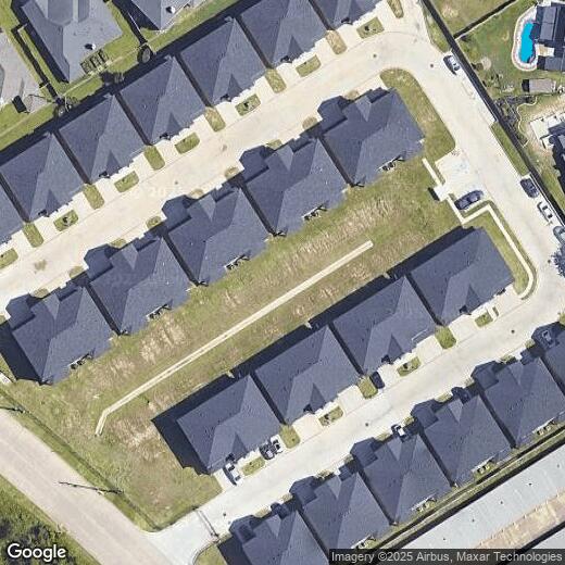
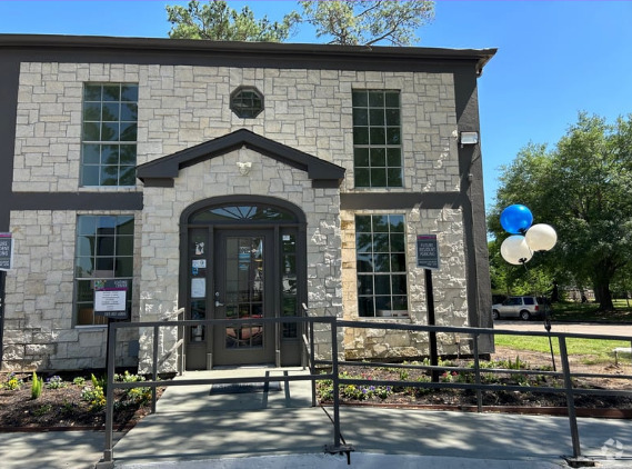
18620 Louetta Creek Dr
18620 Louetta Creek Dr
Spring, TX 77388
2 Weeks Ago
Favorites
18620 Louetta Creek Dr

Favorites
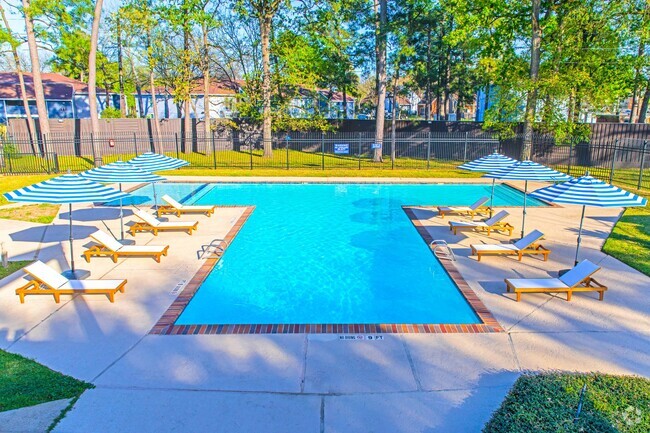
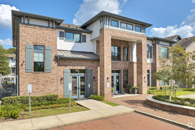
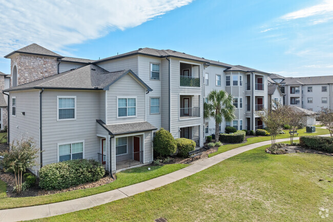
Check Back Soon for Upcoming Availability
Property Address:
18620 Louetta Creek Dr,
Spring,
TX
77388
Spring is a suburban community located just thirty minutes north of downtown Houston, practically right next door to George Bush Intercontinental Airport. The city’s population has grown enormously since the year 2000, but the small-town atmosphere remains one of Spring’s most distinctive features. Many Houston-area commuters choose to settle here for the quiet atmosphere, and parents love the low crime rate and the selection of excellent public schools.
The lush green parks on the banks of Spring Creek provide tranquil retreats for a relaxing afternoon, as well as an extensive network of trails and footpaths to explore. Folks from all across the Houston area come to Spring in the summer to visit the local SplashTown water park on the west side of the city.
Learn more about living in Spring
Education
| Colleges & Universities | Distance | ||
|---|---|---|---|
| Colleges & Universities | Distance | ||
| Drive: | 22 min | 14.6 mi | |
| Drive: | 35 min | 22.0 mi | |
| Drive: | 38 min | 25.1 mi | |
| Drive: | 41 min | 25.4 mi |
18620 Louetta Creek Dr is within 22 minutes or 14.6 miles from Lone Star College. It is also near Univ. of Houston, Downtown and University of St Thomas.
Transportation options available in Spring include Northline Transit Center / Hcc, located 18.3 miles from 18620 Louetta Creek Dr. 18620 Louetta Creek Dr is near George Bush Intcntl/Houston, located 16.0 miles or 25 minutes away, and William P Hobby, located 35.0 miles or 55 minutes away.
| Transit / Subway | Distance | ||
|---|---|---|---|
| Transit / Subway | Distance | ||
|
|
Drive: | 29 min | 18.3 mi |
|
|
Drive: | 29 min | 18.8 mi |
|
|
Drive: | 30 min | 19.8 mi |
|
|
Drive: | 30 min | 19.8 mi |
|
|
Drive: | 32 min | 20.6 mi |
| Commuter Rail | Distance | ||
|---|---|---|---|
| Commuter Rail | Distance | ||
|
|
Drive: | 35 min | 22.2 mi |
| Airports | Distance | ||
|---|---|---|---|
| Airports | Distance | ||
|
George Bush Intcntl/Houston
|
Drive: | 25 min | 16.0 mi |
|
William P Hobby
|
Drive: | 55 min | 35.0 mi |
Time and distance from 18620 Louetta Creek Dr.
| Shopping Centers | Distance | ||
|---|---|---|---|
| Shopping Centers | Distance | ||
| Walk: | 2 min | 0.1 mi | |
| Walk: | 6 min | 0.3 mi | |
| Walk: | 8 min | 0.5 mi |
18620 Louetta Creek Dr has 3 shopping centers within 0.5 mile, which is about a 8-minute walk. The miles and minutes will be for the farthest away property.
| Parks and Recreation | Distance | ||
|---|---|---|---|
| Parks and Recreation | Distance | ||
|
Fallen Warriors Memorial
|
Drive: | 12 min | 6.5 mi |
|
Cy-Champ Park
|
Drive: | 14 min | 7.2 mi |
|
Montgomery County Preserve
|
Drive: | 19 min | 10.1 mi |
|
Spring Acres Preserve
|
Drive: | 27 min | 12.9 mi |
|
Grogan's Point Preserve
|
Drive: | 27 min | 12.9 mi |
18620 Louetta Creek Dr has 5 parks within 12.9 miles, including Fallen Warriors Memorial, Cy-Champ Park, and Montgomery County Preserve.
| Hospitals | Distance | ||
|---|---|---|---|
| Hospitals | Distance | ||
| Drive: | 9 min | 4.7 mi | |
| Drive: | 9 min | 4.9 mi | |
| Drive: | 11 min | 5.5 mi |
18620 Louetta Creek Dr has 3 hospitals within 5.5 miles, the nearest is TOPS Surgical Specialty Hospital which is 4.7 miles away and a 9 minute drive.
| Military Bases | Distance | ||
|---|---|---|---|
| Military Bases | Distance | ||
| Drive: | 69 min | 48.4 mi | |
| Drive: | 97 min | 74.0 mi |
18620 Louetta Creek Dr is 48.4 miles from Lyndon B Johnson Space Center, and is convenient to other military bases, including Pelican Spit Military Reservation.
You May Also Like
Similar Rentals Nearby
What Are Walk Score®, Transit Score®, and Bike Score® Ratings?
Walk Score® measures the walkability of any address. Transit Score® measures access to public transit. Bike Score® measures the bikeability of any address.
What is a Sound Score Rating?
A Sound Score Rating aggregates noise caused by vehicle traffic, airplane traffic and local sources