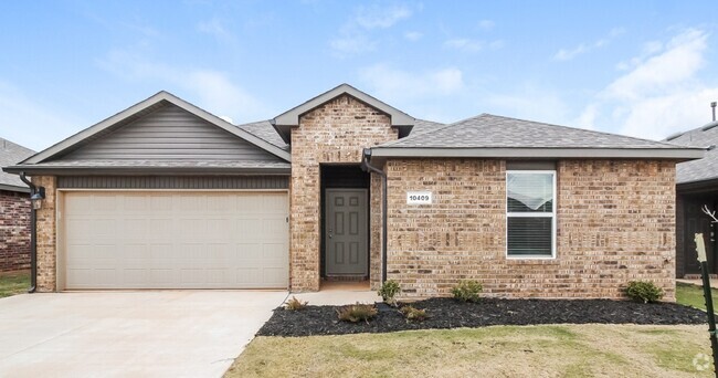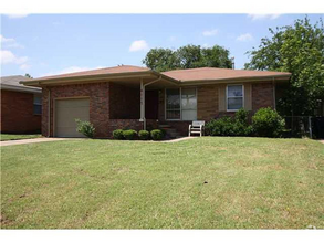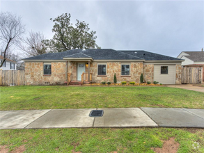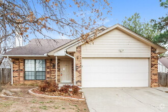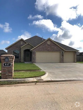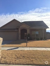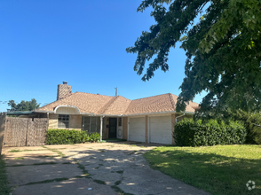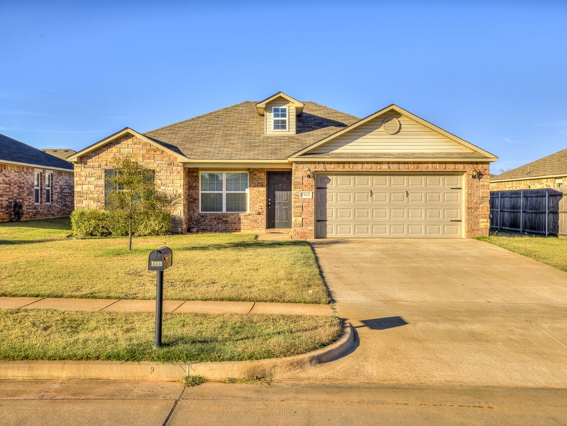
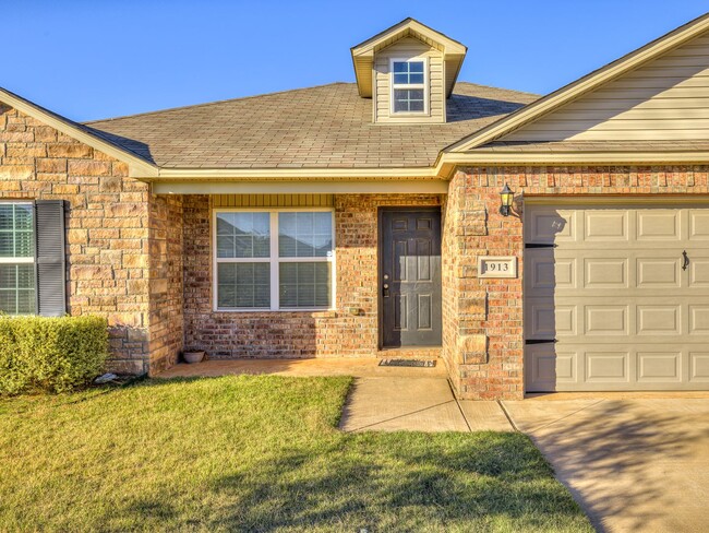
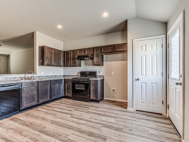
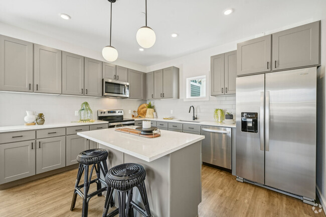
Single-Family Homes
1 Month Free
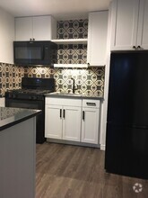
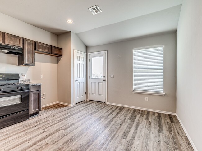
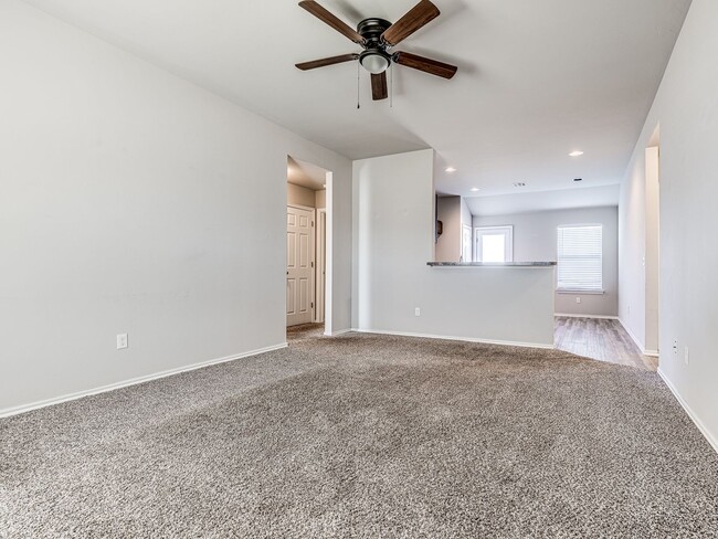
Pets Allowed Pool Dishwasher In Unit Washer & Dryer Clubhouse Stainless Steel Appliances Ceiling Fans