-
Monthly Rent
$1,650
-
Bedrooms
2 bd
-
Bathrooms
2 ba
-
Square Feet
Details

About This Property
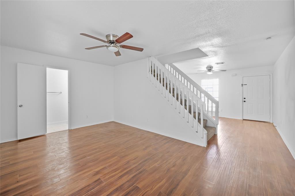
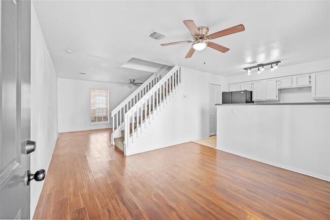
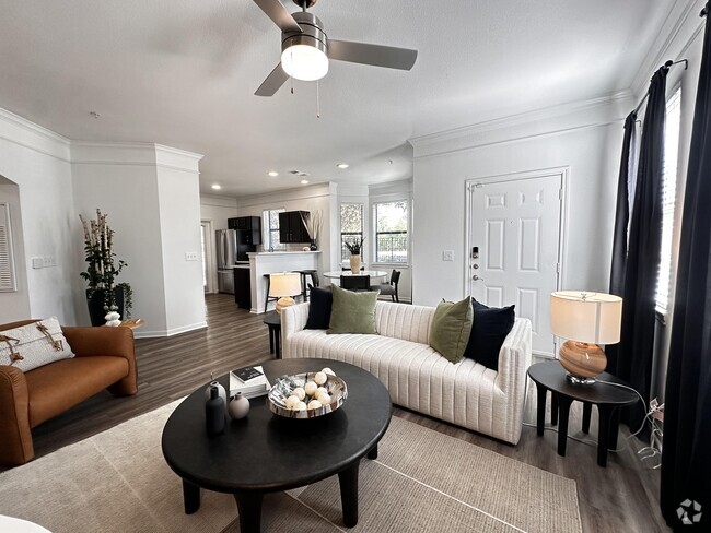
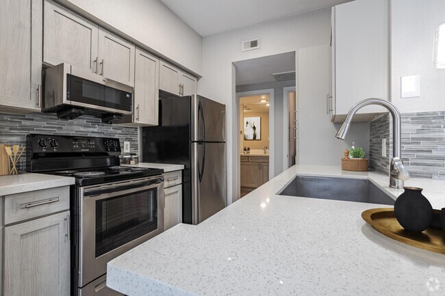
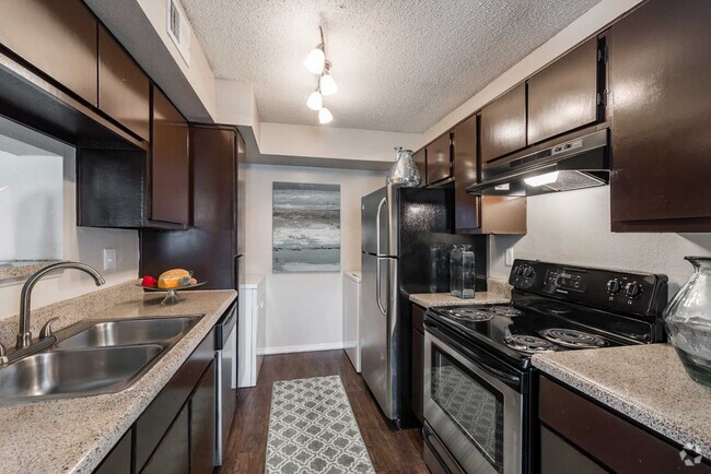
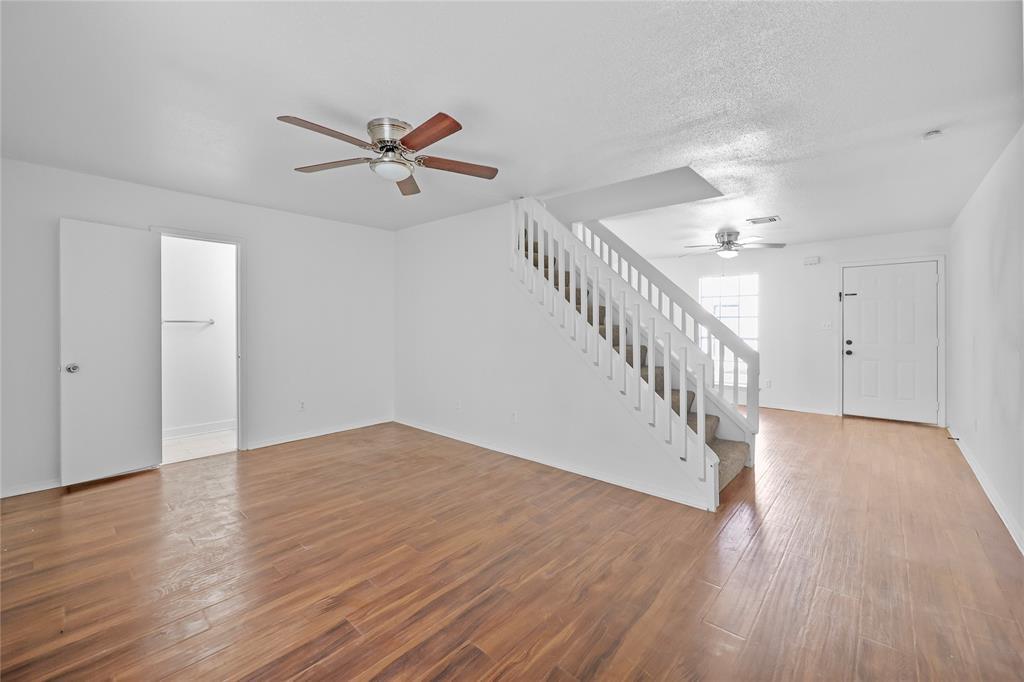
Discover your ideal home in Katy! This two-bedroom, two-bathroom property is zoned to Katy ISD schools and features fresh updates throughout. Nestled on a serene street, it's perfect for families or anyone seeking a peaceful environment. Close proximity to Katy Mills malls, downtown Katy, the library, and a park. Washer, dryer, and fridge included, along with two designated covered parking spots. Don’t miss your chance to call this home yours—it's ready for immediate move-in! Reach out today for more details or to schedule a viewing!
1936 Avenue B is an apartment community located in Harris County and the 77493 ZIP Code.
Contact
Features
- Smoke Free
Fees and Policies
Details
Lease Options
-
12 Months
 This Property
 Available Property
- Smoke Free
The Bear Creek/Copperfield neighborhood provides an oasis from the busy city life of Houston. This neighborhood has easy access to U.S. Highway 290 for those who work in the metro area. Located north and west of downtown Houston, the area borders Clay Road to the south and Tuckerton Road to the north. U.S. Highway 290 makes up its eastern border. Bear Creek/Copperfield lies about 24 miles away from downtown Houston, and the drive takes approximately 35 minutes. Numerous parks and golf courses permeate the area, giving residents the opportunity to enjoy the great outdoors.
Learn more about living in Bear Creek/Copperfield| Colleges & Universities | Distance | ||
|---|---|---|---|
| Colleges & Universities | Distance | ||
| Drive: | 8 min | 4.2 mi | |
| Drive: | 29 min | 21.2 mi | |
| Drive: | 38 min | 26.4 mi | |
| Drive: | 43 min | 32.9 mi |
Transportation options available in Katy include Dryden/Tmc, located 31.9 miles from 1936 Avenue B. 1936 Avenue B is near William P Hobby, located 42.7 miles or 61 minutes away, and George Bush Intcntl/Houston, located 44.0 miles or 55 minutes away.
| Transit / Subway | Distance | ||
|---|---|---|---|
| Transit / Subway | Distance | ||
|
|
Drive: | 44 min | 31.9 mi |
|
|
Drive: | 44 min | 32.1 mi |
|
|
Drive: | 45 min | 32.4 mi |
|
|
Drive: | 46 min | 32.6 mi |
|
|
Drive: | 45 min | 32.8 mi |
| Commuter Rail | Distance | ||
|---|---|---|---|
| Commuter Rail | Distance | ||
|
|
Drive: | 40 min | 30.3 mi |
| Airports | Distance | ||
|---|---|---|---|
| Airports | Distance | ||
|
William P Hobby
|
Drive: | 61 min | 42.7 mi |
|
George Bush Intcntl/Houston
|
Drive: | 55 min | 44.0 mi |
Time and distance from 1936 Avenue B.
| Shopping Centers | Distance | ||
|---|---|---|---|
| Shopping Centers | Distance | ||
| Walk: | 12 min | 0.7 mi | |
| Walk: | 17 min | 0.9 mi | |
| Drive: | 2 min | 1.3 mi |
| Parks and Recreation | Distance | ||
|---|---|---|---|
| Parks and Recreation | Distance | ||
|
George Bush Park
|
Drive: | 17 min | 10.4 mi |
| Hospitals | Distance | ||
|---|---|---|---|
| Hospitals | Distance | ||
| Drive: | 8 min | 4.4 mi | |
| Drive: | 15 min | 10.1 mi |
| Military Bases | Distance | ||
|---|---|---|---|
| Military Bases | Distance | ||
| Drive: | 74 min | 56.1 mi | |
| Drive: | 103 min | 81.7 mi |
You May Also Like
Similar Rentals Nearby
What Are Walk Score®, Transit Score®, and Bike Score® Ratings?
Walk Score® measures the walkability of any address. Transit Score® measures access to public transit. Bike Score® measures the bikeability of any address.
What is a Sound Score Rating?
A Sound Score Rating aggregates noise caused by vehicle traffic, airplane traffic and local sources
