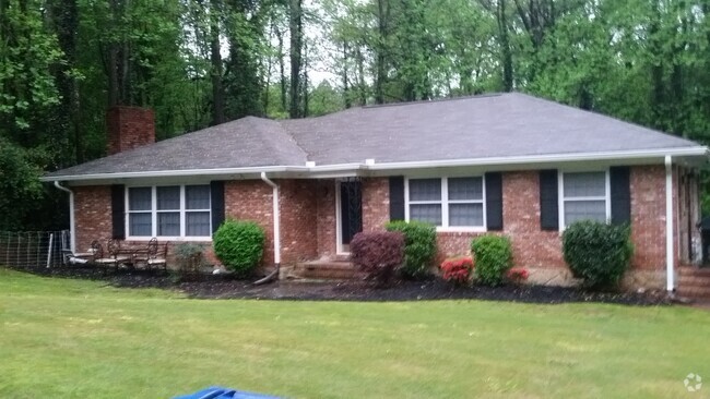
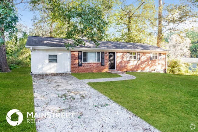
$3,000 / Month
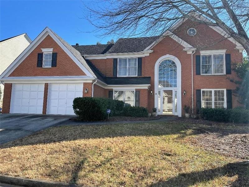
1943 Rotherham Way
Dunwoody, GA 30338
2 Weeks Ago
Favorites
1943 Rotherham Way

Favorites
Check Back Soon for Upcoming Availability
| Beds | Baths | Average SF |
|---|---|---|
| 4 Bedrooms 4 Bedrooms 4 Br | 2.5 Baths 2.5 Baths 2.5 Ba | 2,898 SF |
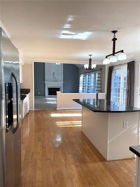
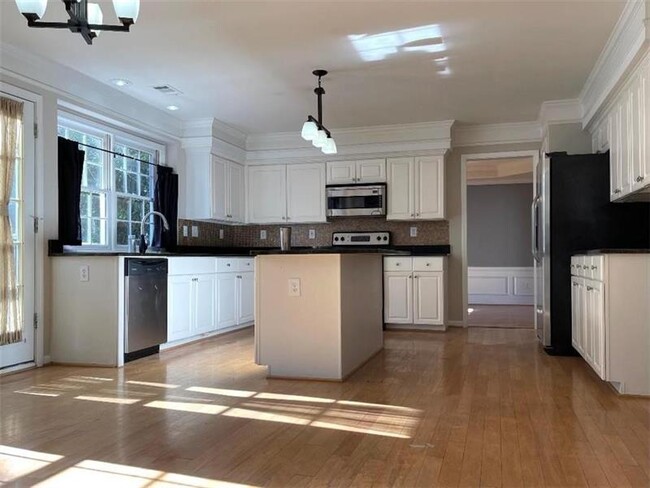
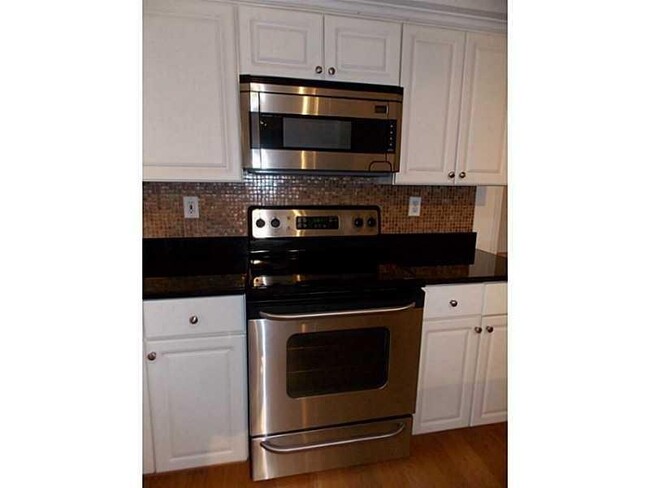
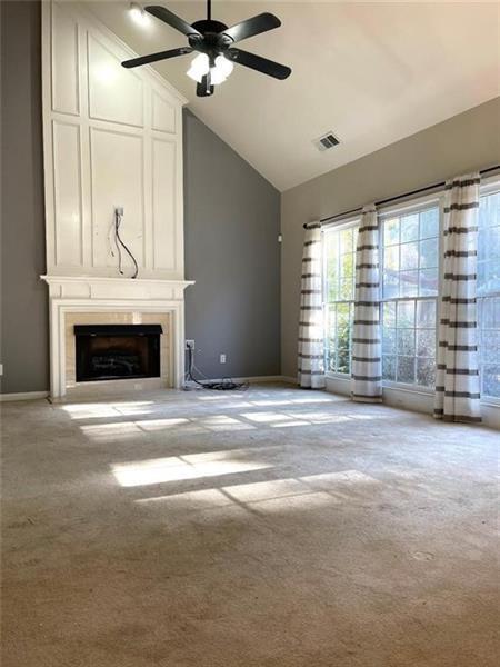
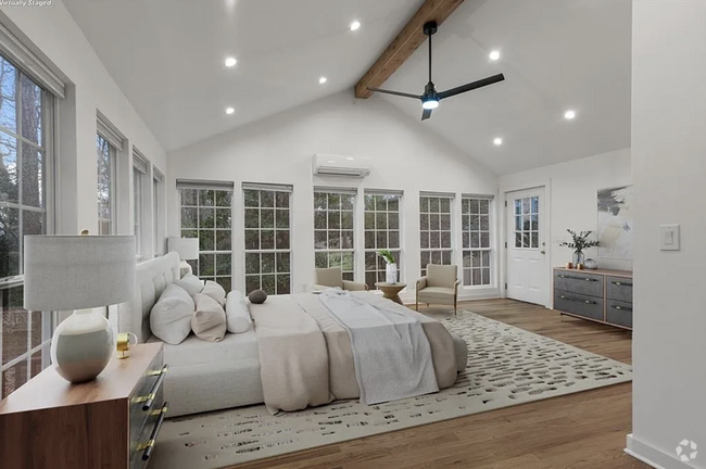
About This Property
Brick Home in Sought After Oxford Chase & Top-Rated Vanderlyn ES! Bright, open floor plan with a lot of natural light, Ideal to work from home, Home office. Fenced back yard. Walking/riding distance to grocery stores, shopping.
1943 Rotherham Way is a house located in DeKalb County and the 30338 ZIP Code. This area is served by the DeKalb County attendance zone.
Location
Get Directions
Located north of I-285 between Sandy Springs and Norcross, Dunwoody is one of Atlanta’s most popular suburban cities. With several businesses located within the city, Dunwoody is more than a suburb – it’s a live-work-play community with plenty to offer. But for those who do commute, Dunwoody has access to MARTA so residents can quickly reach Downtown Atlanta.
This park-filled community is a popular shopping destination, home to the upscale Perimeter Mall and several surrounding strip plazas. Dunwoody is great for families and students, home to the Georgia State University: Perimeter College – Dunwoody Campus. Brooks Run Park is a massive community park, featuring a treetop rope course and a dog run. Well-maintained greenway access points to the Dunwoody Trailway and PATH400 are available here.
Learn more about living in Dunwoody
Education
| Colleges & Universities | Distance | ||
|---|---|---|---|
| Colleges & Universities | Distance | ||
| Drive: | 5 min | 1.6 mi | |
| Drive: | 9 min | 3.5 mi | |
| Drive: | 11 min | 4.9 mi | |
| Drive: | 17 min | 8.2 mi |
1943 Rotherham Way is within 5 minutes or 1.6 miles from Georgia Perim. Coll, Dunwoody. It is also near The Art Institute of Atlanta and Argosy University, Atlanta.
Schools


Public Elementary School
Grades PK-5
438 Students
Attendance Zone
Public Middle School
Grades 6-8
1,288 Students
Attendance Zone
Public High School
Grades 9-12
2,040 Students
Attendance Zone
Private Elementary, Middle & High School
Grades PK-12
112 Students
Nearby
Private Elementary & Middle School
Grades PK-8
97 Students
Nearby
School data provided by
 The GreatSchools Rating helps parents compare schools within a state based on a variety of school quality indicators and provides a helpful picture of how effectively each school serves all of its students. Ratings are on a scale of 1 (below average) to 10 (above average) and can include test scores, college readiness, academic progress, advanced courses, equity, discipline and attendance data. We also advise parents to visit schools, consider other information on school performance and programs, and consider family needs as part of the school selection process.
View GreatSchools Rating Methodology
View GreatSchools Rating Methodology
Transportation options available in Dunwoody include Sandy Springs Station, located 3.3 miles from 1943 Rotherham Way. 1943 Rotherham Way is near Hartsfield - Jackson Atlanta International, located 27.2 miles or 42 minutes away.
| Transit / Subway | Distance | ||
|---|---|---|---|
| Transit / Subway | Distance | ||
|
|
Drive: | 8 min | 3.3 mi |
|
|
Drive: | 9 min | 4.1 mi |
|
|
Drive: | 11 min | 4.3 mi |
|
|
Drive: | 13 min | 5.4 mi |
|
|
Drive: | 12 min | 5.7 mi |
| Commuter Rail | Distance | ||
|---|---|---|---|
| Commuter Rail | Distance | ||
|
|
Drive: | 23 min | 13.8 mi |
| Airports | Distance | ||
|---|---|---|---|
| Airports | Distance | ||
|
Hartsfield - Jackson Atlanta International
|
Drive: | 42 min | 27.2 mi |
Time and distance from 1943 Rotherham Way.
| Shopping Centers | Distance | ||
|---|---|---|---|
| Shopping Centers | Distance | ||
| Walk: | 14 min | 0.7 mi | |
| Walk: | 14 min | 0.7 mi | |
| Walk: | 17 min | 0.9 mi |
1943 Rotherham Way has 3 shopping centers within 0.9 mile, which is about a 17-minute walk. The miles and minutes will be for the farthest away property.
| Parks and Recreation | Distance | ||
|---|---|---|---|
| Parks and Recreation | Distance | ||
|
Dunwoody Nature Center
|
Drive: | 8 min | 2.9 mi |
|
Holcomb Bridge Park
|
Drive: | 10 min | 4.1 mi |
|
Big Trees Forest Preserve
|
Drive: | 13 min | 5.2 mi |
|
Chattahoochee River National Recreation Area - Island Ford
|
Drive: | 13 min | 5.3 mi |
|
Chattahoochee River Environmental Education Center
|
Drive: | 13 min | 5.6 mi |
1943 Rotherham Way has 5 parks within 5.6 miles, including Dunwoody Nature Center, Holcomb Bridge Park, and Big Trees Forest Preserve.
| Hospitals | Distance | ||
|---|---|---|---|
| Hospitals | Distance | ||
| Drive: | 6 min | 2.7 mi | |
| Drive: | 12 min | 5.4 mi | |
| Drive: | 12 min | 5.6 mi |
1943 Rotherham Way has 3 hospitals within 5.6 miles, the nearest is Peachford Behavioral Health System - Atlanta which is 2.7 miles away and a 6 minute drive.
| Military Bases | Distance | ||
|---|---|---|---|
| Military Bases | Distance | ||
| Drive: | 32 min | 17.6 mi | |
| Drive: | 36 min | 22.2 mi |
1943 Rotherham Way is 17.6 miles from Dobbins Air Force Base, and is convenient to other military bases, including Fort McPherson.
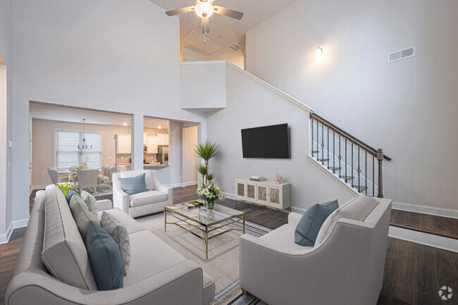
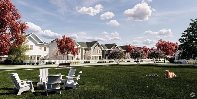
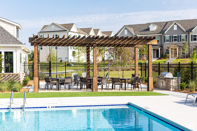
You May Also Like
Similar Rentals Nearby
-
-
-
-
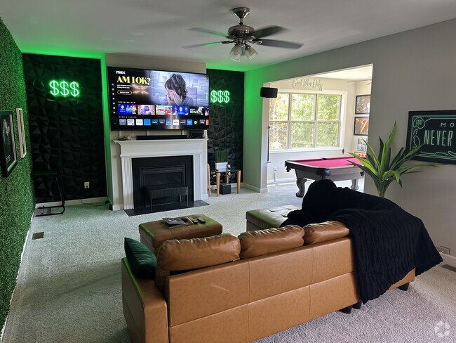
-
-
-
1 / 14
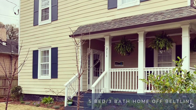
-
1 / 11
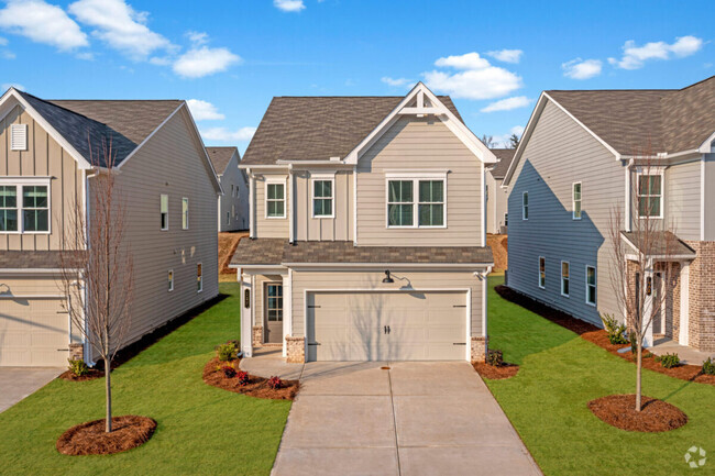
-
1 / 37
-
What Are Walk Score®, Transit Score®, and Bike Score® Ratings?
Walk Score® measures the walkability of any address. Transit Score® measures access to public transit. Bike Score® measures the bikeability of any address.
What is a Sound Score Rating?
A Sound Score Rating aggregates noise caused by vehicle traffic, airplane traffic and local sources

1943 Rotherham Way
Dunwoody, GA 30338