-
Monthly Rent
$1,300
-
Bedrooms
1 bd
-
Bathrooms
1 ba
-
Square Feet
600 sq ft
Details

About This Property
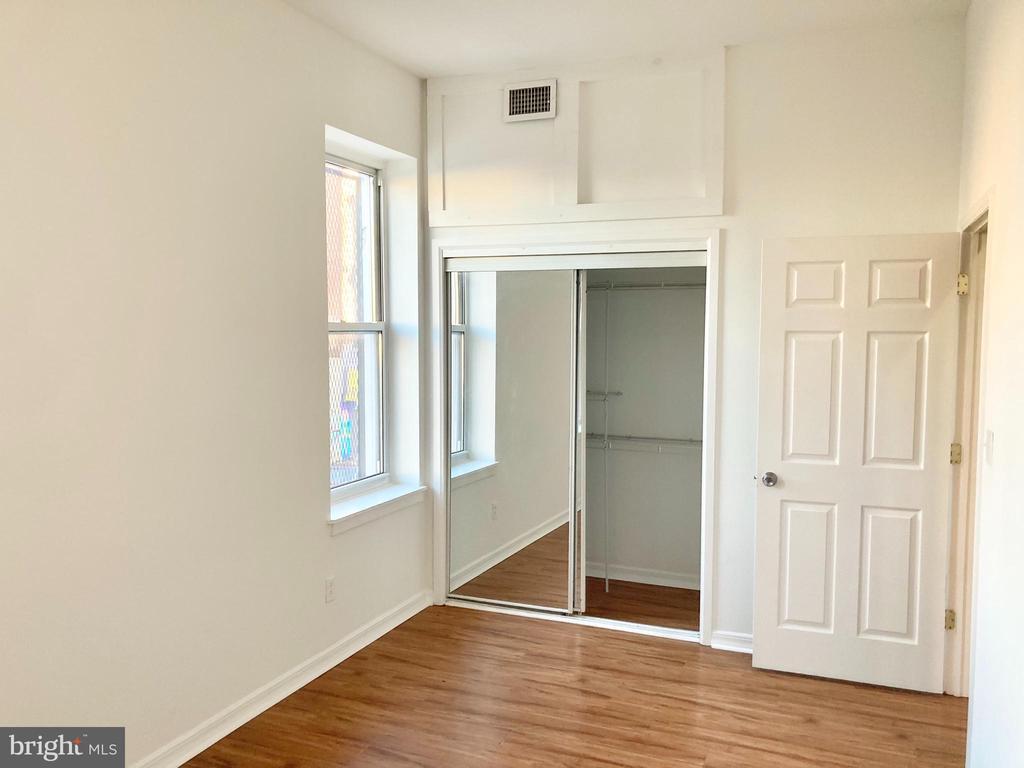
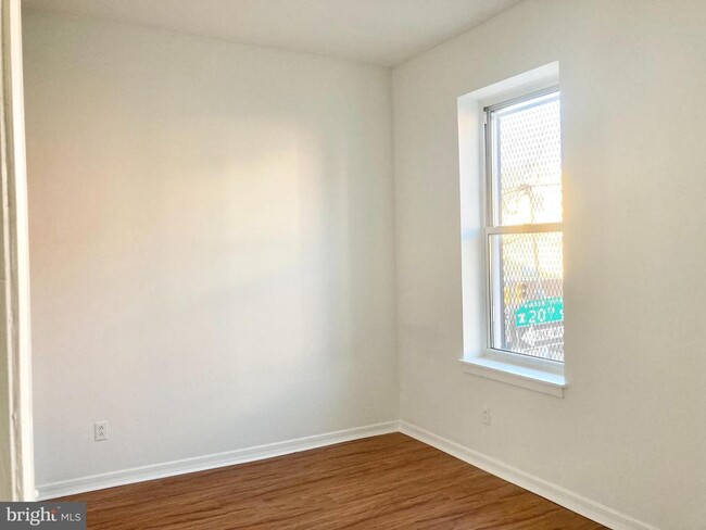
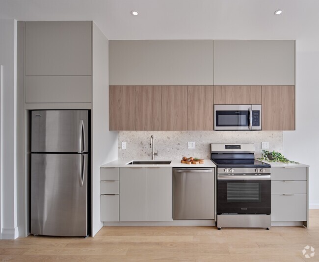
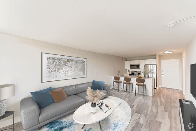
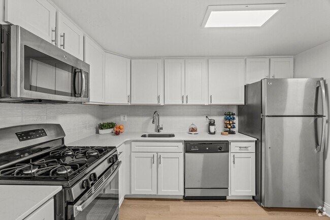
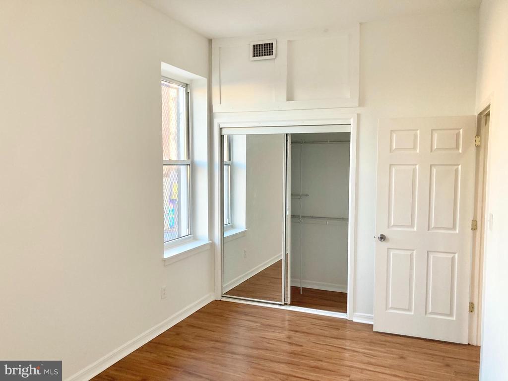
Live at 1944 Cecil B Moore Ave #2, an updated 1 bedroom 1 bathroom apartment available now. This home features an open floor plan, an updated kitchen, recessed lighting, and tons of storage. The unit features an in-unit washer and dryer, and new stainless steel appliances including a stove, refrigerator, microwave, and dishwasher. The bedrooms get tons of natural light and large closet spaces. The bathrooms feature updated tile and plumbing. Enjoy a community deck.
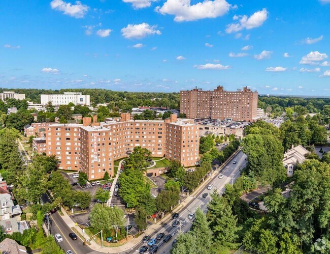
1944 Cecil B. Moore Ave is an apartment community located in Philadelphia County and the 19121 ZIP Code.
Contact
 This Property
 Available Property
Running alongside Fairmount Park, North Philadelphia West encompasses the area between Girard and Lehigh Avenues, west of Broad Street. There’s an incredible diversity of rentals here, including modern apartments that display incredible architecture and amenities to long-standing brick townhomes. Residents delight in the wealth of outdoor opportunities afforded by their proximity to the park, including the Sedgley Woods disc golf course, home of the city's innovative blend of ultimate Frisbee and classic golf. The neighborhood includes the smaller residential areas of Stanton, Brewerytown and Strawberry Mansion, and counts Girard College and Temple University among its academic landmarks.
Learn more about living in North Philadelphia West| Colleges & Universities | Distance | ||
|---|---|---|---|
| Colleges & Universities | Distance | ||
| Walk: | 16 min | 0.8 mi | |
| Drive: | 5 min | 1.4 mi | |
| Drive: | 4 min | 1.8 mi | |
| Drive: | 7 min | 2.3 mi |
Transportation options available in Philadelphia include Cecil B Moore, located 0.5 miles from 1944 Cecil B. Moore Ave Unit B. 1944 Cecil B. Moore Ave Unit B is near Philadelphia International, located 14.1 miles or 25 minutes away, and Trenton Mercer, located 34.7 miles or 52 minutes away.
| Transit / Subway | Distance | ||
|---|---|---|---|
| Transit / Subway | Distance | ||
|
|
Walk: | 10 min | 0.5 mi |
| Walk: | 10 min | 0.5 mi | |
| Walk: | 10 min | 0.6 mi | |
| Walk: | 11 min | 0.6 mi | |
| Walk: | 12 min | 0.6 mi |
| Commuter Rail | Distance | ||
|---|---|---|---|
| Commuter Rail | Distance | ||
|
|
Drive: | 5 min | 1.6 mi |
|
|
Drive: | 5 min | 1.6 mi |
|
|
Drive: | 5 min | 1.8 mi |
|
|
Drive: | 7 min | 2.0 mi |
|
|
Drive: | 7 min | 2.7 mi |
| Airports | Distance | ||
|---|---|---|---|
| Airports | Distance | ||
|
Philadelphia International
|
Drive: | 25 min | 14.1 mi |
|
Trenton Mercer
|
Drive: | 52 min | 34.7 mi |
Time and distance from 1944 Cecil B. Moore Ave Unit B.
| Shopping Centers | Distance | ||
|---|---|---|---|
| Shopping Centers | Distance | ||
| Walk: | 10 min | 0.5 mi | |
| Walk: | 14 min | 0.7 mi | |
| Drive: | 4 min | 1.6 mi |
| Parks and Recreation | Distance | ||
|---|---|---|---|
| Parks and Recreation | Distance | ||
|
Wagner Free Institute of Science
|
Walk: | 7 min | 0.4 mi |
|
The Academy of Natural Sciences
|
Drive: | 5 min | 1.6 mi |
|
Fels Planetarium
|
Drive: | 5 min | 1.8 mi |
|
Franklin Institute
|
Drive: | 5 min | 1.8 mi |
|
Edgar Allan Poe Nat'l Historic Site
|
Drive: | 5 min | 2.0 mi |
| Hospitals | Distance | ||
|---|---|---|---|
| Hospitals | Distance | ||
| Drive: | 4 min | 1.7 mi | |
| Drive: | 7 min | 2.3 mi | |
| Drive: | 7 min | 2.4 mi |
| Military Bases | Distance | ||
|---|---|---|---|
| Military Bases | Distance | ||
| Drive: | 15 min | 8.5 mi |
You May Also Like
Similar Rentals Nearby
What Are Walk Score®, Transit Score®, and Bike Score® Ratings?
Walk Score® measures the walkability of any address. Transit Score® measures access to public transit. Bike Score® measures the bikeability of any address.
What is a Sound Score Rating?
A Sound Score Rating aggregates noise caused by vehicle traffic, airplane traffic and local sources
