
$1,300 / Month
1944 Maple Ave
Norwood, OH 45212
Today
Favorites
513-602-0800
-
Bedrooms
2
-
Bathrooms
1
-
Square Feet
--
-
Available
Available Now
1944 Maple Ave

Favorites
About This Home
12 Month Lease
,
Available Now
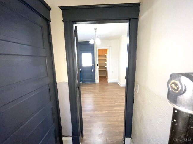
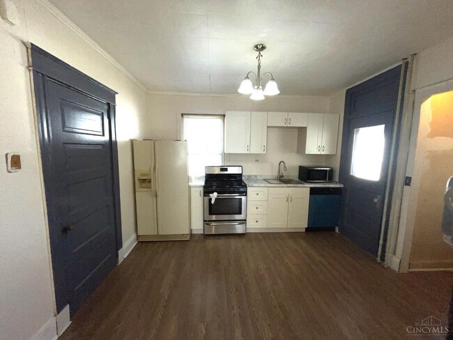
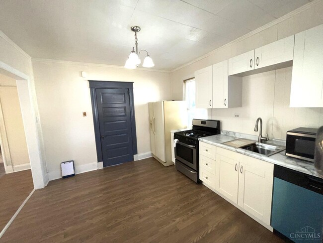
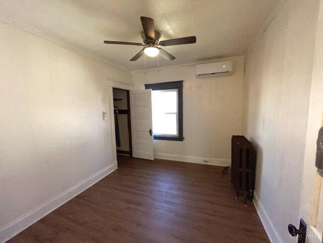
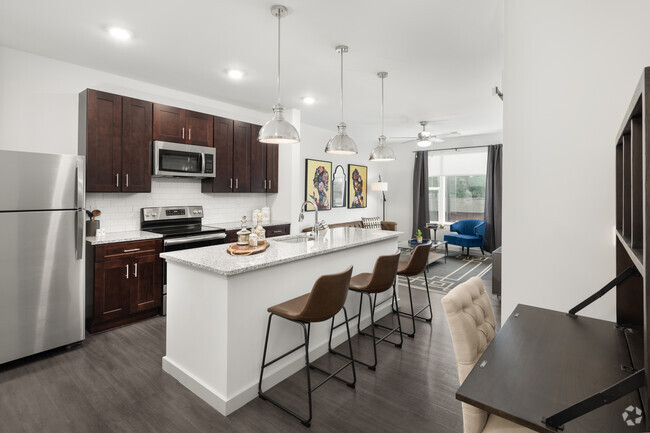
Totally remodeled 2 bed 1 bath. 1 car garage. Landlord pays water and trash. New flooring,paint,kitchen and bath. Beautiful property close to shopping,entertainment and freeways. Pets allowed with deposit and $100 monthly. Optional garage $100 monthly. Optional laundry $50 monthly.
1944 Maple Ave is an apartment community located in Hamilton County and the 45212 ZIP Code.
* Price shown is base rent and may not include non-optional fees and utilities.
Price, availability, fees, and any applicable rent special are subject to change without notice.
* Square footage definitions vary. Displayed square footage is approximate.
Contact
- Listed by Jason Park | RE/MAX Alliance Realty
- Phone Number
- Contact
-
Source
MLSGreaterCincinnati#OH
Copyright 2025 MLS of Greater Cincinnati. All rights reserved. Information is deemed reliable but not guaranteed.
Location
Get Directions
Norwood was one of the earliest suburbs to form around Cincinnati. Once a hub of industry and innovation thanks to the railroads and nearby metropolis that fed the area, Norwood is now a picturesque enclave that attracts renters of all types.
The city of Norwood has a number of historical landmarks that contribute to the overall identity of the area. The Norwood Mound is a centuries old Native American burial ground that stands as the highest point in the area. Vineyard Central is a gorgeous 114-year-old Catholic church near the downtown district that still hosts a congregation. There are other great local spots to experience the city, not just landmarks. Grab a drink at The Wood, a popular neighborhood bar, or try Bluebird Restaurant, a classic American diner.
There are plenty of parks and golf courses around Norwood if you’re looking for fresh air. Commuters will appreciate the nearby I-71 that makes a drive to Cincinnati a breeze.
Learn more about living in Norwood
Education
| Colleges & Universities | Distance | ||
|---|---|---|---|
| Colleges & Universities | Distance | ||
| Drive: | 6 min | 1.7 mi | |
| Drive: | 10 min | 3.8 mi | |
| Drive: | 11 min | 4.0 mi | |
| Drive: | 16 min | 5.9 mi |
1944 Maple Ave is within 6 minutes or 1.7 miles from Xavier University. It is also near Univ. of Cincinnati, Medical and University of Cincinnati.
Transportation options available in Norwood include Hanke Exchange Station, 12Th & Main, located 5.5 miles from 1944 Maple Ave. 1944 Maple Ave is near Cincinnati/Northern Kentucky International, located 20.1 miles or 38 minutes away.
| Transit / Subway | Distance | ||
|---|---|---|---|
| Transit / Subway | Distance | ||
| Drive: | 12 min | 5.5 mi | |
| Drive: | 13 min | 5.8 mi | |
| Drive: | 14 min | 6.0 mi | |
| Drive: | 14 min | 6.1 mi | |
| Drive: | 14 min | 6.2 mi |
| Commuter Rail | Distance | ||
|---|---|---|---|
| Commuter Rail | Distance | ||
|
|
Drive: | 16 min | 9.1 mi |
| Airports | Distance | ||
|---|---|---|---|
| Airports | Distance | ||
|
Cincinnati/Northern Kentucky International
|
Drive: | 38 min | 20.1 mi |
Time and distance from 1944 Maple Ave.
| Shopping Centers | Distance | ||
|---|---|---|---|
| Shopping Centers | Distance | ||
| Walk: | 14 min | 0.7 mi | |
| Walk: | 18 min | 1.0 mi | |
| Drive: | 4 min | 1.3 mi |
1944 Maple Ave has 3 shopping centers within 1.3 miles, which is about a 4-minute walk. The miles and minutes will be for the farthest away property.
| Parks and Recreation | Distance | ||
|---|---|---|---|
| Parks and Recreation | Distance | ||
|
Avon Woods Natural Area/Preserve
|
Drive: | 5 min | 1.9 mi |
|
French Park
|
Drive: | 10 min | 3.5 mi |
|
Cincinnati Observatory
|
Drive: | 10 min | 3.8 mi |
|
Ault Park
|
Drive: | 10 min | 4.0 mi |
|
Cincinnati Zoo and Botanical Garden
|
Drive: | 10 min | 4.3 mi |
1944 Maple Ave has 5 parks within 4.3 miles, including Avon Woods Natural Area/Preserve, Cincinnati Observatory, and French Park.
| Hospitals | Distance | ||
|---|---|---|---|
| Hospitals | Distance | ||
| Drive: | 8 min | 2.4 mi | |
| Drive: | 8 min | 2.9 mi | |
| Drive: | 9 min | 3.1 mi |
1944 Maple Ave has 3 hospitals within 3.1 miles, the nearest is Blueridge Vista Health and Wellness which is 2.4 miles away and a 8 minute drive.
| Military Bases | Distance | ||
|---|---|---|---|
| Military Bases | Distance | ||
| Drive: | 66 min | 49.8 mi | |
| Drive: | 72 min | 54.9 mi | |
| Drive: | 74 min | 58.2 mi |
1944 Maple Ave has 3 military bases within 58.2 miles, the nearest is Gentile Air Force Station which is 49.8 miles away and a 66 minute drive.
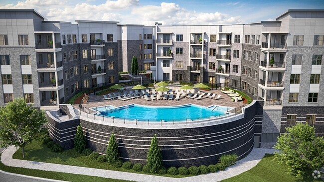
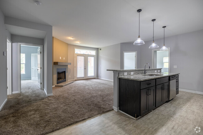
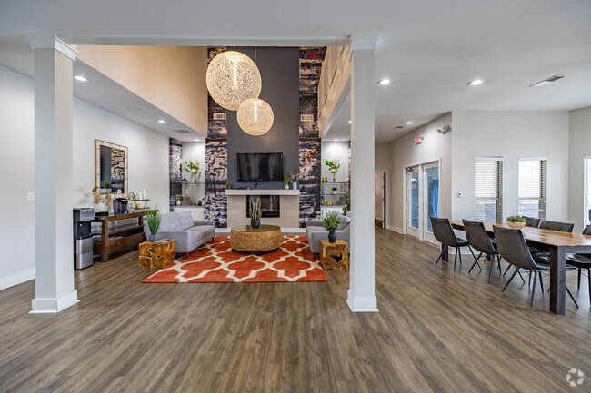
You May Also Like
Similar Rentals Nearby


What Are Walk Score®, Transit Score®, and Bike Score® Ratings?
Walk Score® measures the walkability of any address. Transit Score® measures access to public transit. Bike Score® measures the bikeability of any address.
What is a Sound Score Rating?
A Sound Score Rating aggregates noise caused by vehicle traffic, airplane traffic and local sources
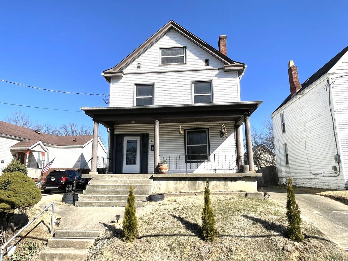
1944 Maple Ave
Norwood, OH 45212