


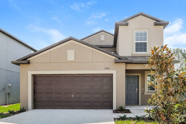
$2,250 / Month
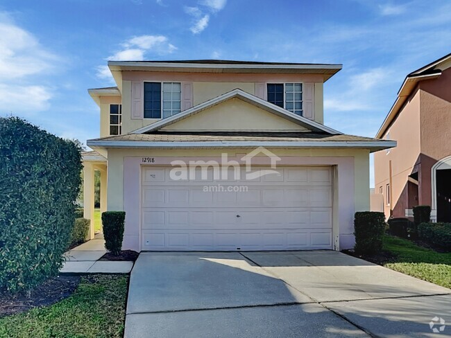
1949 Samantha Ln
Valrico, FL 33594
2 Weeks Ago
Favorites
1949 Samantha Lane

Favorites
Check Back Soon for Upcoming Availability
| Beds | Baths | Average SF |
|---|---|---|
| 4 Bedrooms 4 Bedrooms 4 Br | 3 Baths 3 Baths 3 Ba | 2,184 SF |
About This Property
We expect to make this home available for showing and/or leasing soon. Home details on Landlord’s website are offered for illustrative purposes only. Actual home details may vary. Applicant should verify all information before lease execution. Please contact an American Homes 4 Rent leasing specialist for more information or take a self-guided tour of our currently available homes.
1949 Samantha Lane is a house located in Hillsborough County and the 33594 ZIP Code. This area is served by the Hillsborough attendance zone.
House Features
- Dishwasher
- Microwave
- Refrigerator
Fees and Policies
Property Address:
1949 Samantha Ln,
Valrico,
FL
33594
Located about fifteen miles inland from Tampa, Valrico is a rapidly-growing community that is fast becoming one of the most desirable suburbs in the region. The landscape of Valrico is almost entirely composed of residential neighborhoods, with a rental market dominated by single-family homes of every shape, size, and description (although there are significant numbers of apartments and condos scattered throughout the area as well).
On the east side of town, the Sydney Dover trails provide an excellent venue for spending quality time outdoors without going far from home. Brandon Boulevard serves as a major commercial corridor in the area, lined with major shopping centers, grocers, and restaurants. Tampa is only minutes down the road, and a day at the beach is always just a short drive away.
Learn more about living in Valrico
Amenities
- Dishwasher
- Microwave
- Refrigerator
Education
| Colleges & Universities | Distance | ||
|---|---|---|---|
| Colleges & Universities | Distance | ||
| Drive: | 15 min | 7.8 mi | |
| Drive: | 16 min | 8.1 mi | |
| Drive: | 18 min | 8.2 mi | |
| Drive: | 23 min | 12.0 mi |
1949 Samantha Lane is within 18 minutes or 8.2 miles from Hillsborough C.C., Brandon. It is also near Southwest Florida Coll., Tampa and Everest University, Brandon.
Schools
Public Elementary School
Grades PK-5
764 Students
Attendance Zone
7
Out of 10
Public Middle School
Grades 6-8
802 Students
Attendance Zone
2
Out of 10
Public High School
Grades 9-12
1,560 Students
Attendance Zone
3
Out of 10
Private Elementary, Middle & High School
Grades PK-12
304 Students
Nearby
Private Elementary, Middle & High School
Grades K-12
Nearby
School data provided by
GreatSchools
The GreatSchools Rating helps parents compare schools within a state based on a variety of school quality indicators and provides a helpful picture of how effectively each school serves all of its students. Ratings are on a scale of 1 (below average) to 10 (above average) and can include test scores, college readiness, academic progress, advanced courses, equity, discipline and attendance data. We also advise parents to visit schools, consider other information on school performance and programs, and consider family needs as part of the school selection process.
Transportation options available in Valrico include Centennial Park Station (#1), located 14.1 miles from 1949 Samantha Lane. 1949 Samantha Lane is near Tampa International, located 23.1 miles or 38 minutes away, and St Pete-Clearwater International, located 32.3 miles or 56 minutes away.
| Transit / Subway | Distance | ||
|---|---|---|---|
| Transit / Subway | Distance | ||
| Drive: | 25 min | 14.1 mi | |
| Drive: | 25 min | 14.2 mi | |
| Drive: | 26 min | 14.4 mi | |
| Drive: | 26 min | 14.5 mi | |
| Drive: | 27 min | 14.8 mi |
| Commuter Rail | Distance | ||
|---|---|---|---|
| Commuter Rail | Distance | ||
|
|
Drive: | 26 min | 15.2 mi |
|
|
Drive: | 36 min | 23.7 mi |
|
|
Drive: | 55 min | 38.4 mi |
| Airports | Distance | ||
|---|---|---|---|
| Airports | Distance | ||
|
Tampa International
|
Drive: | 38 min | 23.1 mi |
|
St Pete-Clearwater International
|
Drive: | 56 min | 32.3 mi |
Time and distance from 1949 Samantha Lane.
| Shopping Centers | Distance | ||
|---|---|---|---|
| Shopping Centers | Distance | ||
| Drive: | 6 min | 2.2 mi | |
| Drive: | 7 min | 2.5 mi | |
| Drive: | 9 min | 3.5 mi |
1949 Samantha Lane has 3 shopping centers within 3.5 miles, which is about a 9-minute drive. The miles and minutes will be for the farthest away property.
| Parks and Recreation | Distance | ||
|---|---|---|---|
| Parks and Recreation | Distance | ||
|
Eureka Springs Park
|
Drive: | 21 min | 9.9 mi |
|
John B. Sargeant Park
|
Drive: | 23 min | 12.5 mi |
|
Trout Creek Park
|
Drive: | 22 min | 14.0 mi |
|
Aldermans Ford Park
|
Drive: | 27 min | 15.9 mi |
|
Morris Bridge Park
|
Drive: | 27 min | 16.7 mi |
1949 Samantha Lane has 5 parks within 16.7 miles, including Eureka Springs Park, John B. Sargeant Park, and Aldermans Ford Park.
| Hospitals | Distance | ||
|---|---|---|---|
| Hospitals | Distance | ||
| Drive: | 10 min | 4.3 mi | |
| Drive: | 18 min | 9.6 mi |
1949 Samantha Lane is 4.3 miles from Brandon Regional Hospital, and is convenient to other hospitals, including South Florida Baptist Hospital.
| Military Bases | Distance | ||
|---|---|---|---|
| Military Bases | Distance | ||
| Drive: | 45 min | 24.7 mi | |
| Drive: | 51 min | 32.4 mi | |
| Drive: | 163 min | 84.1 mi |
1949 Samantha Lane has 3 military bases within 84.1 miles, the nearest is MacDill Air Force Base which is 24.7 miles away and a 45 minute drive.
You May Also Like
Similar Rentals Nearby
-
-
-
-
-
-
-
-
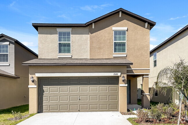
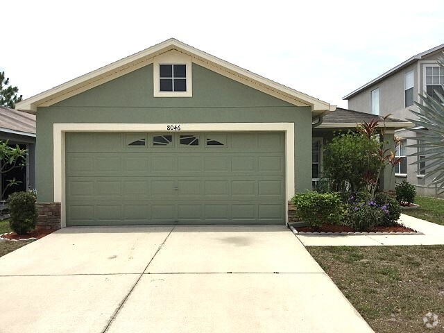
 $2,4354 Beds, 2 Baths, 1,978 sq ftHouse for Rent
 -
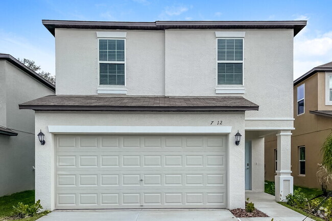
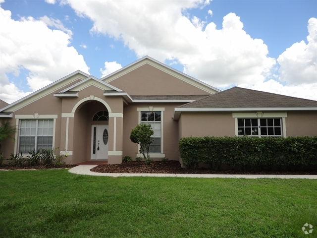
 $2,7454 Beds, 3 Baths, 2,321 sq ftHouse for Rent
 -
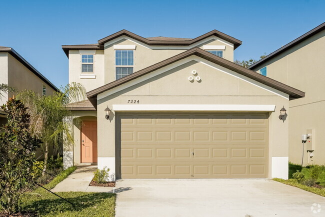
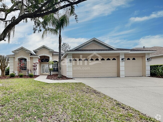
 $2,2604 Beds, 2.5 Baths, 1,863 sq ftHouse for Rent
What Are Walk Score®, Transit Score®, and Bike Score® Ratings?
Walk Score® measures the walkability of any address. Transit Score® measures access to public transit. Bike Score® measures the bikeability of any address.
What is a Sound Score Rating?
A Sound Score Rating aggregates noise caused by vehicle traffic, airplane traffic and local sources

1949 Samantha Ln
Valrico, FL 33594