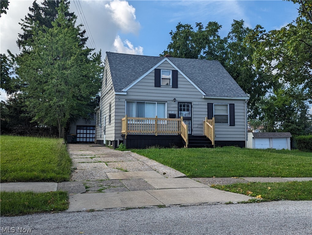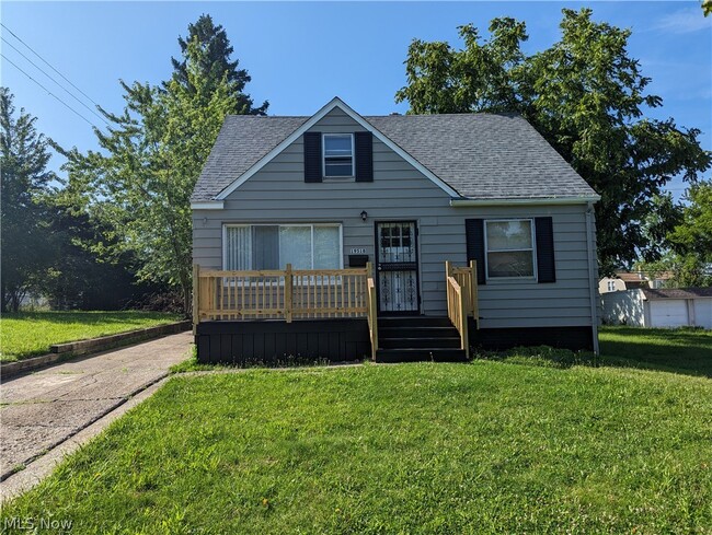

Check Back Soon for Upcoming Availability
| Beds | Baths | Average SF |
|---|---|---|
| 3 Bedrooms 3 Bedrooms 3 Br | 1.5 Baths 1.5 Baths 1.5 Ba | — |
About This Property
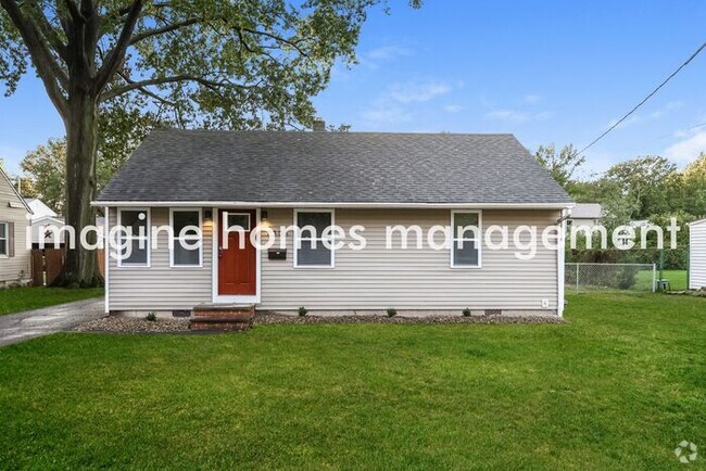
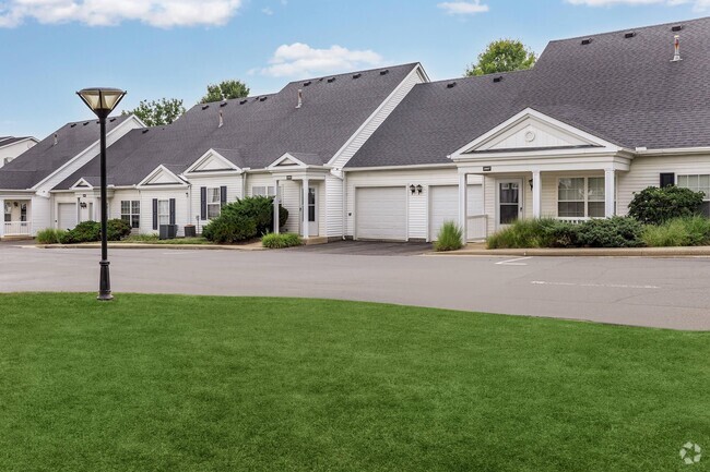
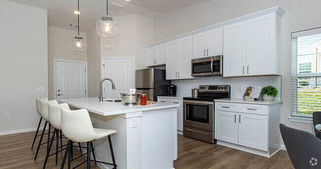
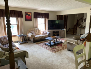
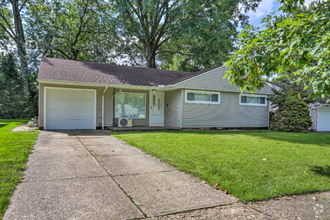
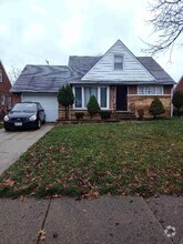
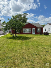
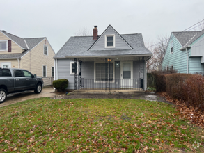
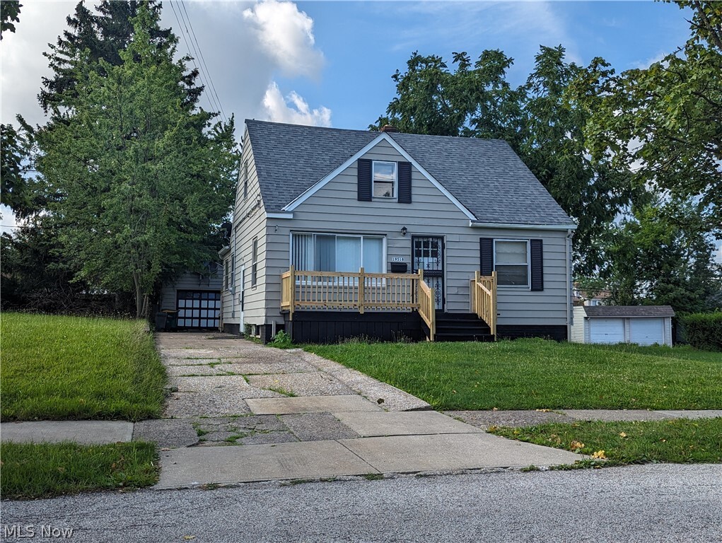
Updated Home! New kitchen cabinets w/large eat-in area (13x18)!! Oversized Master Suite on the 2nd floor!! Beautiful new luxury vinyl flooring throughout!!! 1.5 Baths. Finished rec room!! Fenced Yard! Must See. Large rear deck!!! Nice front porch!!!!
19518 Raymond St is a house located in Cuyahoga County and the 44137 ZIP Code. This area is served by the Maple Heights City attendance zone.
House Features
- Pool
Fees and Policies
 This Property
 Available Property
Located less than ten miles from Downtown Cleveland, Maple Heights is a low-key suburban community perfect for folks who want easy access to the city but prefer a small-town atmosphere at home. The neighborhood streets are lined with charming vintage homes and unpretentious apartment buildings, providing rental options to suit any taste or budget.
Several shopping centers, restaurants, and small taverns are scattered throughout the city, putting virtually everyone within easy walking distance of their favorite hangouts. To the south, the lush Cuyahoga Valley National Park offers a sprawling venue for hiking, camping, canoeing, and even skiing in the winter.
Learn more about living in Maple Heights- Pool
| Colleges & Universities | Distance | ||
|---|---|---|---|
| Colleges & Universities | Distance | ||
| Drive: | 8 min | 3.8 mi | |
| Drive: | 7 min | 4.1 mi | |
| Drive: | 12 min | 5.9 mi | |
| Drive: | 13 min | 7.7 mi |
Transportation options available in Maple Heights include Warrensville (Blue Line), located 3.6 miles from 19518 Raymond St. 19518 Raymond St is near Cleveland-Hopkins International, located 18.4 miles or 28 minutes away.
| Transit / Subway | Distance | ||
|---|---|---|---|
| Transit / Subway | Distance | ||
|
|
Drive: | 6 min | 3.6 mi |
|
|
Drive: | 6 min | 4.2 mi |
|
|
Drive: | 7 min | 4.5 mi |
|
|
Drive: | 7 min | 4.5 mi |
|
|
Drive: | 7 min | 4.8 mi |
| Commuter Rail | Distance | ||
|---|---|---|---|
| Commuter Rail | Distance | ||
| Drive: | 15 min | 6.7 mi | |
| Drive: | 13 min | 6.8 mi | |
| Drive: | 25 min | 13.7 mi | |
|
|
Drive: | 26 min | 14.3 mi |
| Drive: | 26 min | 16.6 mi |
| Airports | Distance | ||
|---|---|---|---|
| Airports | Distance | ||
|
Cleveland-Hopkins International
|
Drive: | 28 min | 18.4 mi |
Time and distance from 19518 Raymond St.
| Shopping Centers | Distance | ||
|---|---|---|---|
| Shopping Centers | Distance | ||
| Walk: | 17 min | 0.9 mi | |
| Drive: | 2 min | 1.2 mi | |
| Drive: | 4 min | 1.5 mi |
| Parks and Recreation | Distance | ||
|---|---|---|---|
| Parks and Recreation | Distance | ||
|
Garfield Park Nature Center
|
Drive: | 8 min | 4.1 mi |
|
Bedford Reservation
|
Drive: | 15 min | 6.3 mi |
|
Nature Center at Shaker Lakes
|
Drive: | 11 min | 6.6 mi |
|
Ohio & Erie Canal Reservation
|
Drive: | 14 min | 8.2 mi |
|
Acacia Reservation
|
Drive: | 14 min | 8.8 mi |
| Hospitals | Distance | ||
|---|---|---|---|
| Hospitals | Distance | ||
| Drive: | 3 min | 2.2 mi | |
| Drive: | 6 min | 3.5 mi | |
| Drive: | 7 min | 4.4 mi |
| Military Bases | Distance | ||
|---|---|---|---|
| Military Bases | Distance | ||
| Drive: | 96 min | 81.4 mi |
You May Also Like
Similar Rentals Nearby
-
-
-
-
-
-
$2,8004 Beds, 3 Baths, 2,397 sq ftHouse for Rent
-
$2,8753 Beds, 1 Bath, 1,266 sq ftHouse for Rent
-
-
$1,6954 Beds, 1 Bath, 1,450 sq ftHouse for Rent
-
$1,8504 Beds, 1 Bath, 1,000 sq ftHouse for Rent
What Are Walk Score®, Transit Score®, and Bike Score® Ratings?
Walk Score® measures the walkability of any address. Transit Score® measures access to public transit. Bike Score® measures the bikeability of any address.
What is a Sound Score Rating?
A Sound Score Rating aggregates noise caused by vehicle traffic, airplane traffic and local sources
