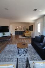
$2,649
3 Beds, 1 Bath, 1,318 sq ft
House for Rent

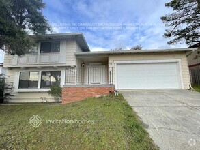
Bedrooms
2
Bathrooms
1
Square Feet
700 sq ft
Available
Available Now

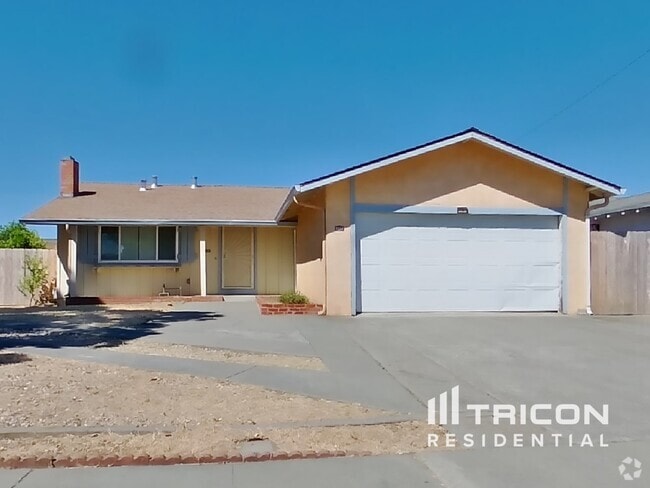
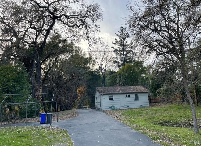
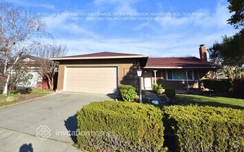
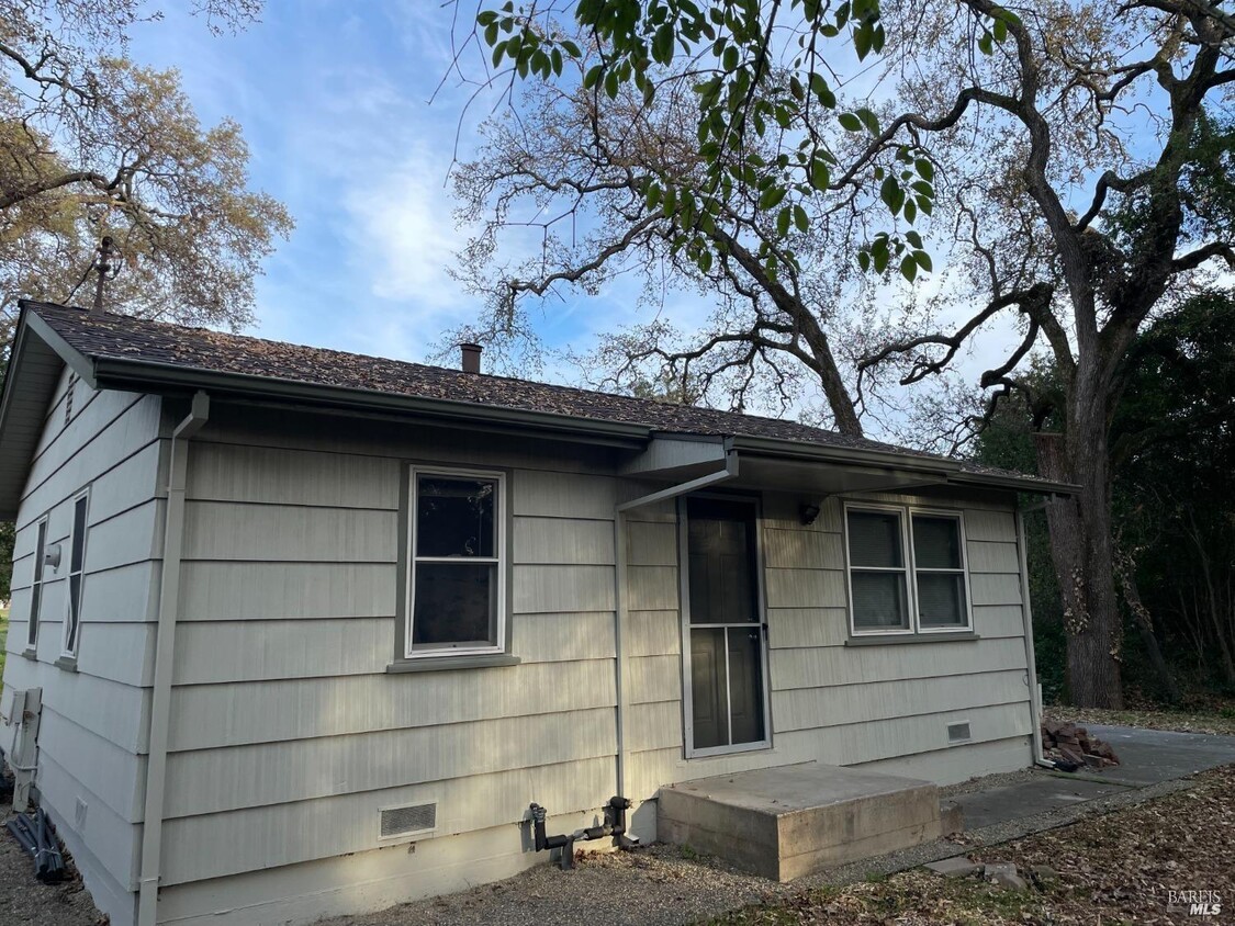
Super Cute 2 Bedroom Home in Napa, 1 Bathroom, Hardwood Floors, Pets Possible, Beautiful Setting on 7+ Acres, 1 Year Lease, Nestled under Oaks trees next to creek, Must See! MLS#325016207
1952 Silverado Trail is a house located in Napa County and the 94558 ZIP Code. This area is served by the Napa Valley Unified attendance zone.
Home Type
Year Built
Bedrooms and Bathrooms
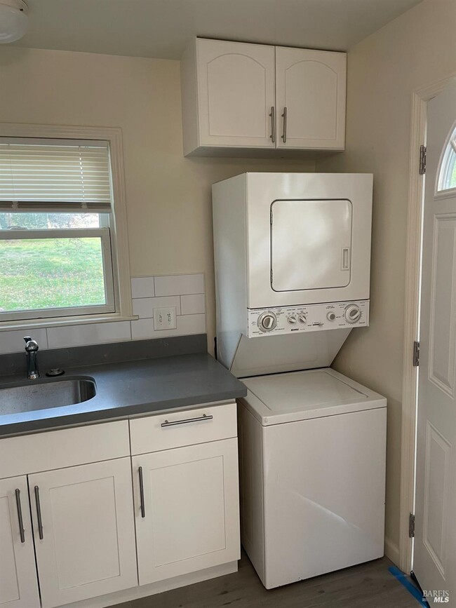
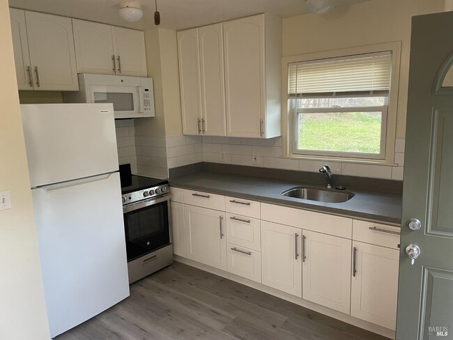
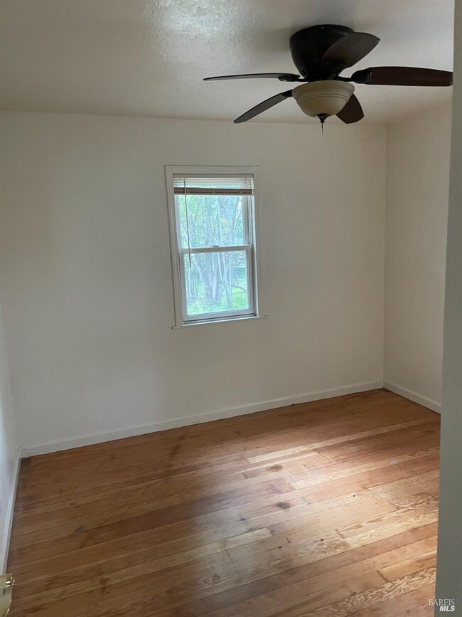
Interior Spaces
Laundry
Listing and Financial Details
Lot Details
Parking
Utilities
Overview
If, when you think of Napa, you think of endless rows of grapevines, sculpted mountain peaks, and impossibly blue skies -- well, you're right. But there's more to Napa than being the largest city in Wine Country and a dazzling display of rolling hills and vineyards. Napa is situated about an hour north of San Francisco, an hour south of Sacramento, and an hour west of the Pacific Coast. It is home to roughly 78,000 residents, an impressive 802 acres of park space, and fantastic year-round weather.
The Oxbow Public Market, located near the Napa River, is the place you'll want to shop after moving to a Napa apartment. The market contains a variety of specialty shops for everything from artisan cheeses to unique gift items to seafood. You can also shop downtown, surrounded by period architecture, mountain views, and wide sidewalks.
Learn more about living in Napa| Colleges & Universities | Distance | ||
|---|---|---|---|
| Colleges & Universities | Distance | ||
| Drive: | 8 min | 3.8 mi | |
| Drive: | 24 min | 16.4 mi | |
| Drive: | 27 min | 18.2 mi | |
| Drive: | 44 min | 27.6 mi |
Transportation options available in Napa include North Concord Martinez Station, located 32.8 miles from 1952 Silverado Trail. 1952 Silverado Trail is near Charles M Schulz - Sonoma County, located 50.5 miles or 71 minutes away.
| Transit / Subway | Distance | ||
|---|---|---|---|
| Transit / Subway | Distance | ||
|
|
Drive: | 46 min | 32.8 mi |
|
|
Drive: | 47 min | 33.3 mi |
|
|
Drive: | 44 min | 33.7 mi |
|
|
Drive: | 44 min | 33.9 mi |
|
|
Drive: | 48 min | 36.6 mi |
| Commuter Rail | Distance | ||
|---|---|---|---|
| Commuter Rail | Distance | ||
|
|
Drive: | 27 min | 20.5 mi |
|
|
Drive: | 35 min | 26.2 mi |
| Drive: | 41 min | 27.0 mi | |
| Drive: | 44 min | 30.1 mi | |
| Drive: | 45 min | 31.5 mi |
| Airports | Distance | ||
|---|---|---|---|
| Airports | Distance | ||
|
Charles M Schulz - Sonoma County
|
Drive: | 71 min | 50.5 mi |
Time and distance from 1952 Silverado Trail.
| Shopping Centers | Distance | ||
|---|---|---|---|
| Shopping Centers | Distance | ||
| Walk: | 17 min | 0.9 mi | |
| Drive: | 3 min | 1.7 mi | |
| Drive: | 3 min | 1.9 mi |
| Hospitals | Distance | ||
|---|---|---|---|
| Hospitals | Distance | ||
| Drive: | 2 min | 1.4 mi | |
| Drive: | 6 min | 3.3 mi |
| Military Bases | Distance | ||
|---|---|---|---|
| Military Bases | Distance | ||
| Drive: | 25 min | 17.6 mi | |
| Drive: | 36 min | 26.6 mi |


What Are Walk Score®, Transit Score®, and Bike Score® Ratings?
Walk Score® measures the walkability of any address. Transit Score® measures access to public transit. Bike Score® measures the bikeability of any address.
What is a Sound Score Rating?
A Sound Score Rating aggregates noise caused by vehicle traffic, airplane traffic and local sources
1952 Silverado Trail
Napa, CA 94558