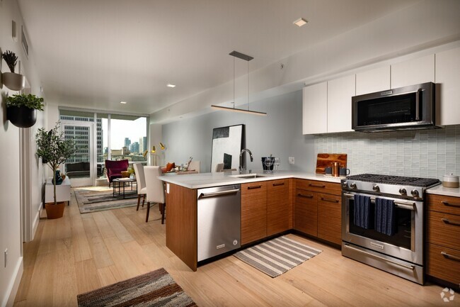
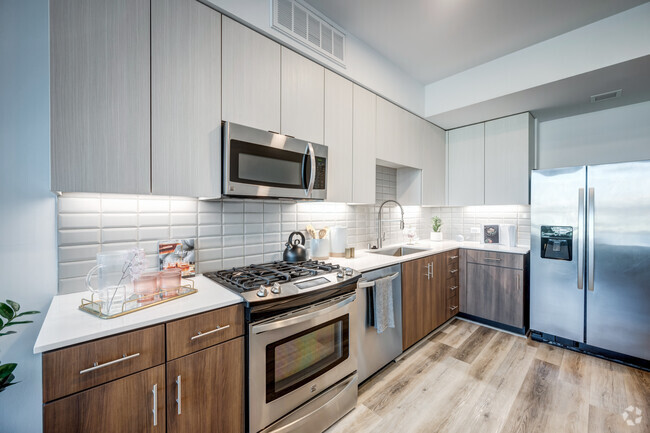
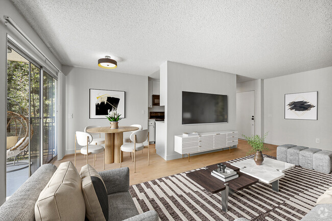
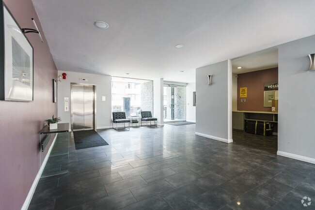
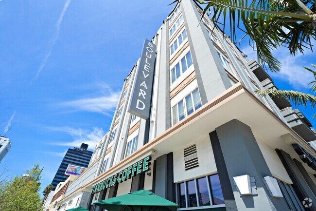
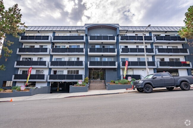
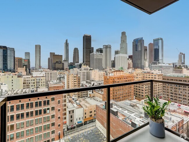
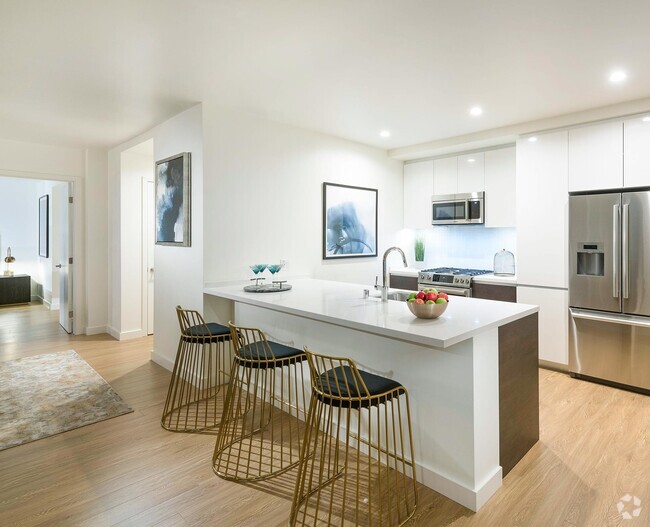
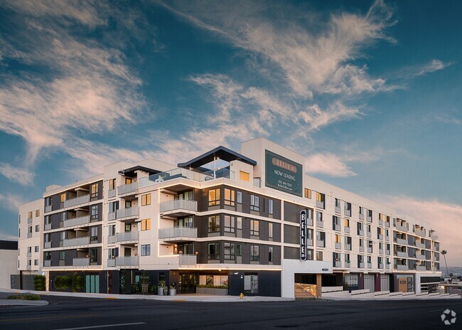
Apartments for Rent in Los Angeles CA - 31,539 Rentals
-
-
-
-
-
-
-
-
-
-
-
-
-
-
-
-
-
-
-
-
-
-
-
-
-
-
-
-
-
-
-
-
-
-
-
-
-
-
-
-
-
Showing 40 of 700 Results - Page 1 of 18


Find the Perfect Los Angeles, CA Apartment
Los Angeles, CA Apartments for Rent
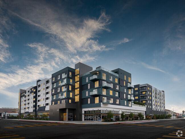
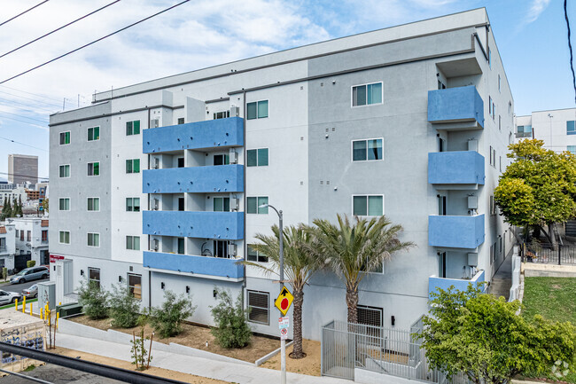
Are you searching for an apartment for rent in Los Angeles, CA? Finding an LA apartments for rent is easy with Apartments.com and a diverse rental market with options for every lifestyle and budget. There's something for everyone, from stylish LA studios and lofts in urban hotspots to spacious single-family LA rental homes and luxury Los Angeles apartments in quieter neighborhoods. Despite being one of the most expensive cities to live in the United States, these is even a deep selection of cheap Los Angeles apartments for rent without sacrificing the amenities that renters crave. Looking for a bit more space? Check out a Los Angeles condo or stretch out in a LA townhouse.
Top LA Neighborhoods To Rent
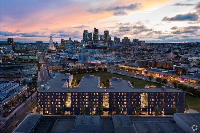
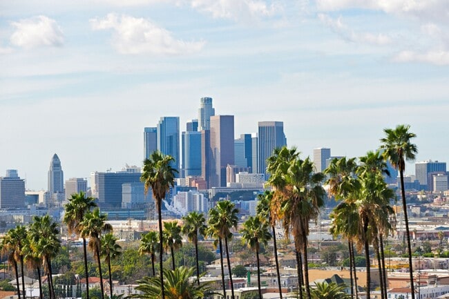
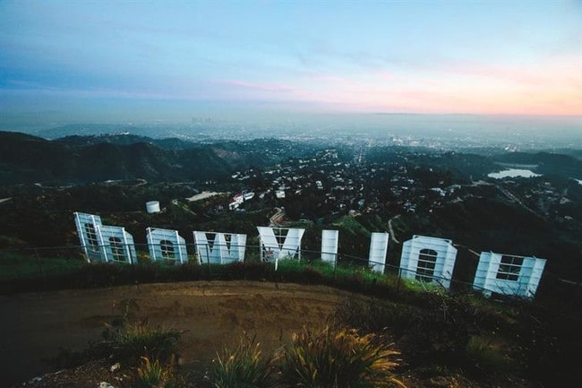
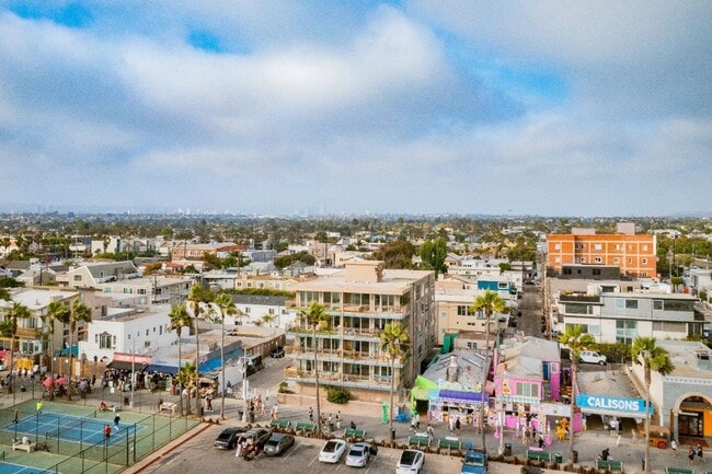
Renters seeking an LA apartment rental won't lack choice, with dozens of famous and vibrant neighborhoods. A Downtown Los Angeles apartment (DTLA) allows you to live in a hub of modern living and convenience, offering sleek apartments near some of the best restaurants in the world as well as famous cultural landmarks like the Walt Disney Concert Hall. Hollywood provides a mix of high-rise apartments and historic buildings, attracting those who want a bustling nightlife scene and proximity to the iconic Hollywood Walk of Fame. Koreatown is a dynamic area featuring affordable rentals, excellent restaurants, and a vibrant community atmosphere. Los Angeles also has beach lovers covered with Santa Monica, home of the famous Santa Monica Pier. Additionally, renting in Venice Beach offers a laid-back lifestyle and easy access to some of the best surfing in the country.
Local Universities in Los Angeles
LA is home to several world-renowned universities such as The University of California, Los Angeles (UCLA) and the University of Southern California (USC). Apartments.com has an extensive selection of off-campus apartments, shared housing, or cozy studios with easy access to these prestigious institutions.
Amenities Los Angeles Renters Value
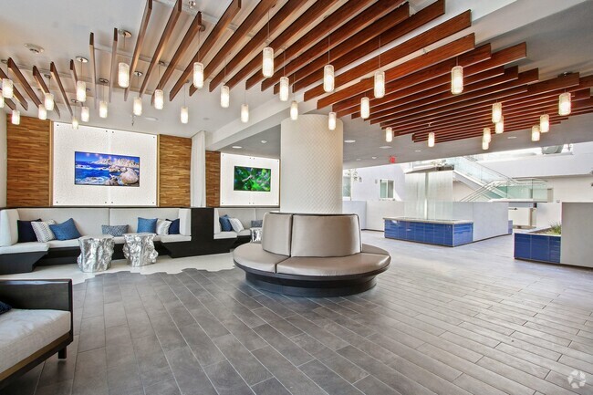
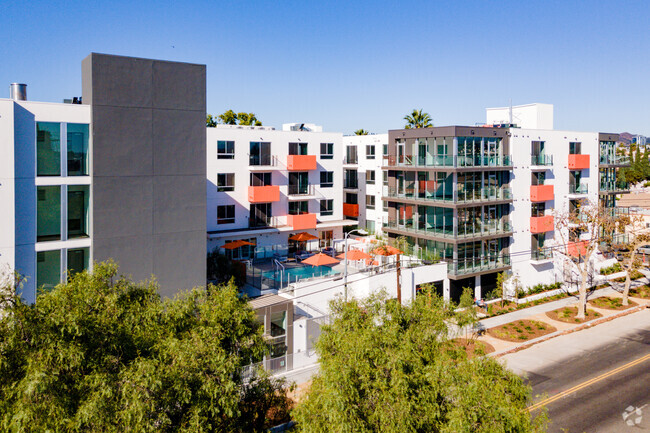
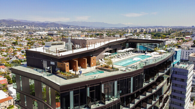
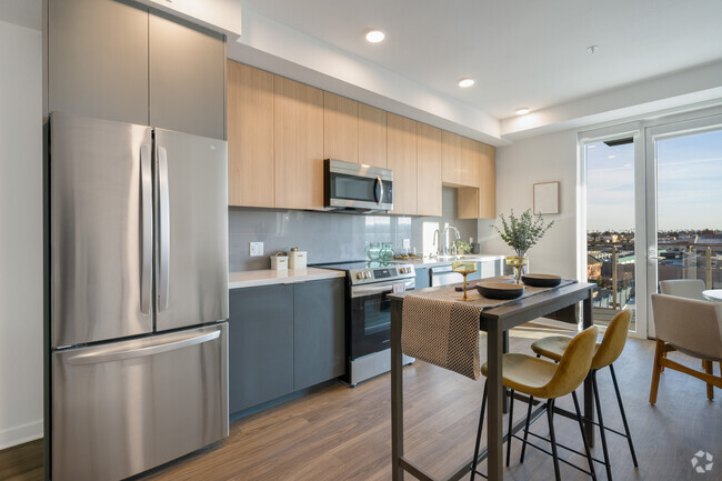
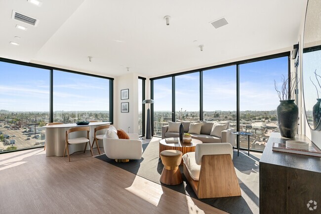
LA apartment renters prioritize convenience and comfort, and amenities designed to enhance their lifestyles are highly sought after. For added convenience, apartments with in-unit laundry and modern kitchens often go for a premium. Fitness centers and pools are popular rental amenities, providing spaces to stay active and unwind. Many LA apartments are pet-friendly, accommodating residents with furry companions. For those seeking luxury, high-end rentals often feature rooftop lounges, valet parking, and EV charging stations.
The Los Angeles Lifestyle and Attractions
Renting a Los Angeles apartment gives an unparalleled lifestyle with convenient access to world-famous attractions and endless entertainment. Residents can shop and dine along Rodeo Drive in Beverly Hills, enjoy the vibrant arts scene in DTLA, or relax on the sandy shores of Santa Monica and Venice Beach. Outdoor enthusiasts can explore nearby hiking trails in Griffith Park or the Santa Monica Mountains. No matter your interests, renting an LA apartment offers a vibrant mix of culture, entertainment, and natural beauty that makes it a top destination for renters.
Los Angeles, CA Rental Insights
Average Rent Rates
What is the average rent in Los Angeles, CA?
The average rent in Los Angeles is $2,167. When you rent an apartment in Los Angeles, you can expect to pay as little as $1,703 or as much as $4,309, depending on the location and the size of the apartment.
What is the average rent of a Studio apartment in Los Angeles, CA?
The average rent for a studio apartment in Los Angeles, CA is $1,703 per month.
What is the average rent of a 1 bedroom apartment in Los Angeles, CA?
The average rent for a one bedroom apartment in Los Angeles, CA is $2,167 per month.
What is the average rent of a 2 bedroom apartment in Los Angeles, CA?
The average rent for a two bedroom apartment in Los Angeles, CA is $3,001 per month.
What is the average rent of a 3 bedroom apartment in Los Angeles, CA?
The average rent for a three bedroom apartment in Los Angeles, CA is $4,309 per month.
Education
What colleges and universities are in Los Angeles, CA?
If you’re a student moving to an apartment in Los Angeles, you’ll have access to West Los Angeles College, Santa Monica Coll., Bundy, and Santa Monica Coll., Airport.
Helpful Rental Guides for Los Angeles, CA

Search Nearby Rentals
Apartment Rentals Near Los ...
Neighborhood Apartment Rentals
- Greater Culver City Apartments for Rent
- Venice Beach Apartments for Rent
- Mid-Wilshire Apartments for Rent
- Koreatown Apartments for Rent
- Westlake Apartments for Rent
- Downtown Los Angeles Apartments for Rent
- East Hollywood Apartments for Rent
- Central San Fernando Vly Apartments for Rent
- Northeast Los Angeles Apartments for Rent
- South Bay Apartments for Rent