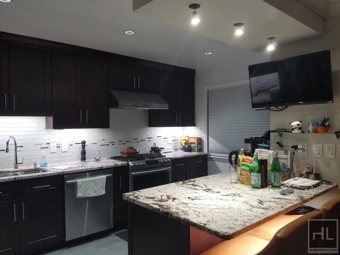
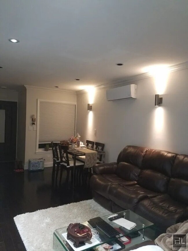
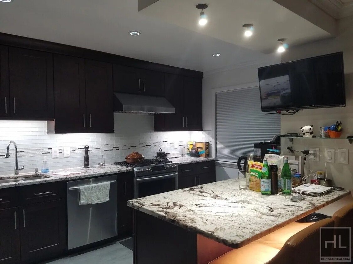
58-58-58198 198th St Unit 1
Queens, NY 11365
-
Bedrooms
2
-
Bathrooms
1
-
Square Feet
--
-
Available
Available Now
About This Home
Description coming soon, please contact your Highline Residential agent for more information ===Ref:2167509===
198 STREET is an apartment community located in Queens County and the 11365 ZIP Code.
Contact
- Phone Number
- Website View Property Website
- Contact
-
Source

Situated between Bayside and Murray Hill in Queens, Auburndale is a suburban neighborhood known for its charming Tudor-style homes nestled along tree-lined avenues. Auburndale is predominantly residential, offering its inhabitants a peaceful atmosphere to come home to.
The neighborhood is also convenient to a host of popular parks, including Kissena Park, Cunningham Park, Alley Pond Park, and Fort Totten Park, where residents enjoy an array of outdoor activities. Vibrant city life is just minutes away from Auburndale as well, with direct access to I-295, I-495, and the Long Island Rail Road’s Port Washington Line.
Learn more about living in Auburndale| Colleges & Universities | Distance | ||
|---|---|---|---|
| Colleges & Universities | Distance | ||
| Drive: | 5 min | 2.2 mi | |
| Drive: | 5 min | 2.2 mi | |
| Drive: | 6 min | 3.3 mi | |
| Drive: | 9 min | 4.0 mi |
Transportation options available in Queens include 169 Street, located 2.9 miles from 198 STREET. 198 STREET is near Laguardia, located 6.8 miles or 12 minutes away, and John F Kennedy International, located 10.0 miles or 15 minutes away.
| Transit / Subway | Distance | ||
|---|---|---|---|
| Transit / Subway | Distance | ||
|
|
Drive: | 7 min | 2.9 mi |
|
|
Drive: | 7 min | 2.9 mi |
|
|
Drive: | 7 min | 3.7 mi |
|
|
Drive: | 8 min | 4.1 mi |
|
|
Drive: | 7 min | 4.5 mi |
| Commuter Rail | Distance | ||
|---|---|---|---|
| Commuter Rail | Distance | ||
|
|
Drive: | 4 min | 1.8 mi |
|
|
Drive: | 5 min | 2.2 mi |
|
|
Drive: | 5 min | 2.3 mi |
|
|
Drive: | 6 min | 3.0 mi |
|
|
Drive: | 8 min | 3.8 mi |
| Airports | Distance | ||
|---|---|---|---|
| Airports | Distance | ||
|
Laguardia
|
Drive: | 12 min | 6.8 mi |
|
John F Kennedy International
|
Drive: | 15 min | 10.0 mi |
Time and distance from 198 STREET.
| Shopping Centers | Distance | ||
|---|---|---|---|
| Shopping Centers | Distance | ||
| Walk: | 12 min | 0.7 mi | |
| Walk: | 20 min | 1.1 mi | |
| Drive: | 4 min | 1.7 mi |
| Parks and Recreation | Distance | ||
|---|---|---|---|
| Parks and Recreation | Distance | ||
|
Cunningham Park
|
Drive: | 3 min | 1.1 mi |
|
Kissena Park
|
Drive: | 4 min | 2.2 mi |
|
Alley Pond Park
|
Drive: | 5 min | 2.7 mi |
|
Alley Pond Environmental Center
|
Drive: | 6 min | 2.8 mi |
|
Crocheron Park
|
Drive: | 8 min | 3.0 mi |
| Hospitals | Distance | ||
|---|---|---|---|
| Hospitals | Distance | ||
| Drive: | 5 min | 2.8 mi | |
| Drive: | 7 min | 3.3 mi | |
| Drive: | 6 min | 3.4 mi |
| Military Bases | Distance | ||
|---|---|---|---|
| Military Bases | Distance | ||
| Drive: | 9 min | 4.6 mi | |
| Drive: | 37 min | 18.8 mi |
You May Also Like
What Are Walk Score®, Transit Score®, and Bike Score® Ratings?
Walk Score® measures the walkability of any address. Transit Score® measures access to public transit. Bike Score® measures the bikeability of any address.
What is a Sound Score Rating?
A Sound Score Rating aggregates noise caused by vehicle traffic, airplane traffic and local sources


