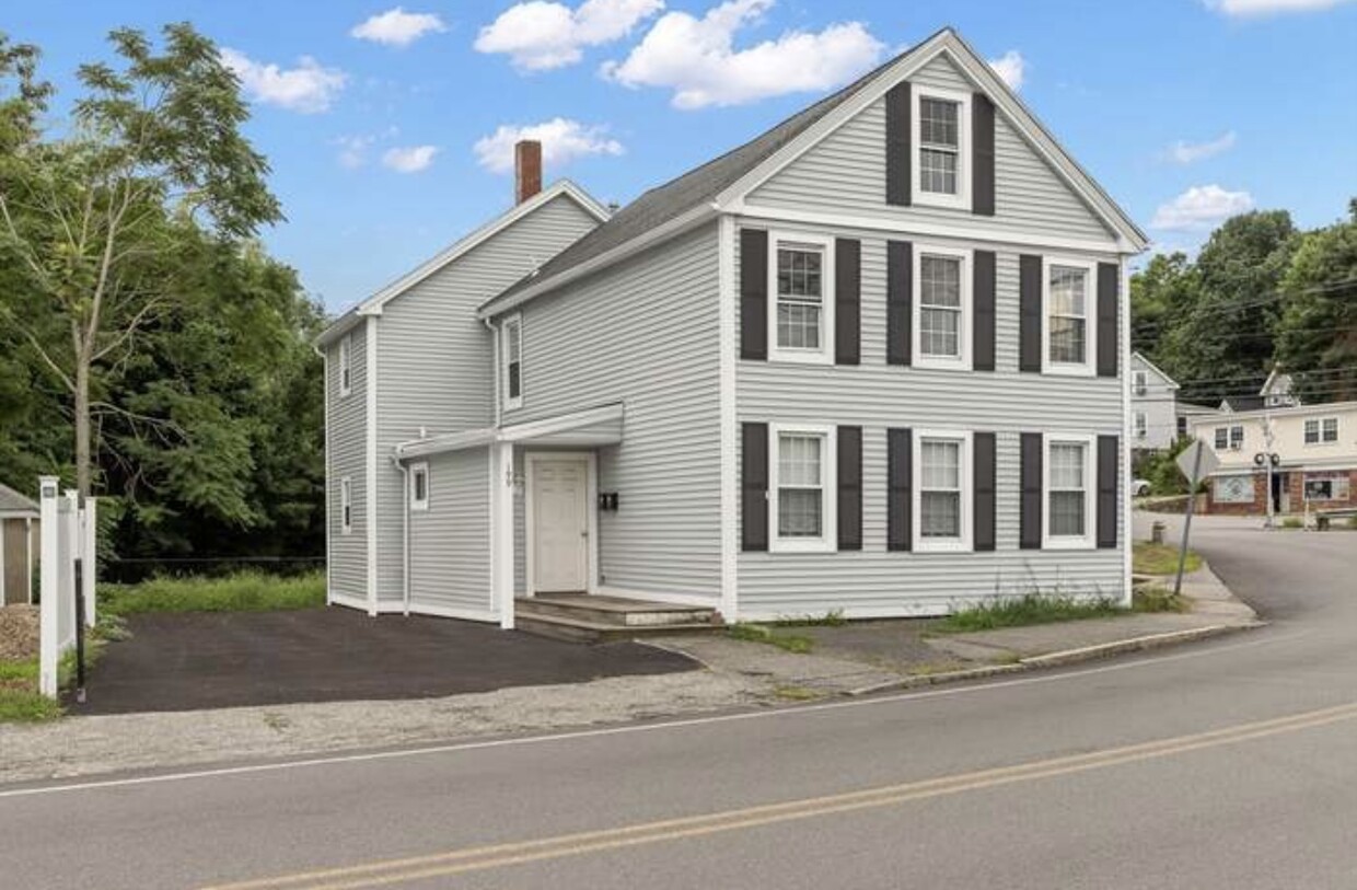
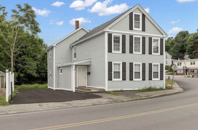
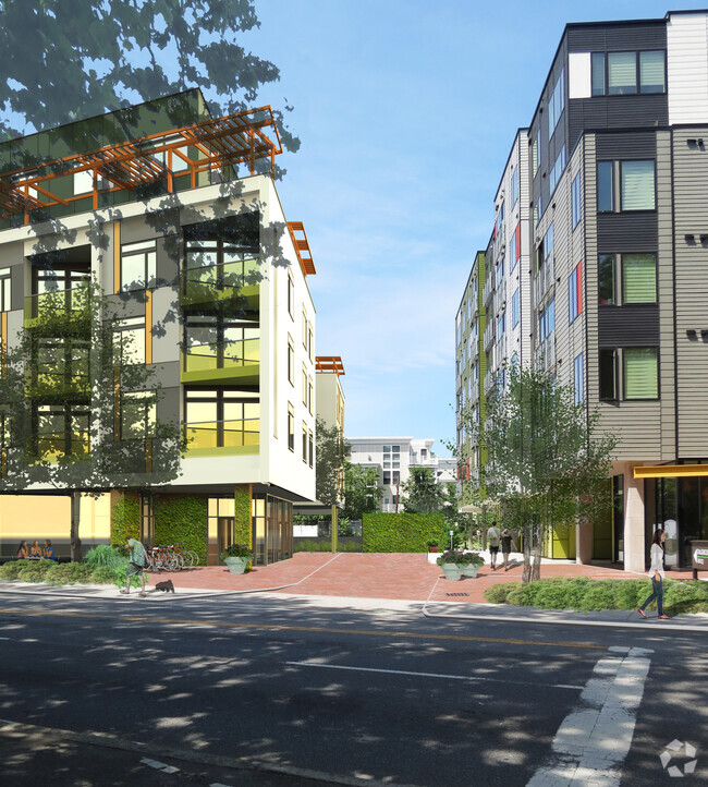
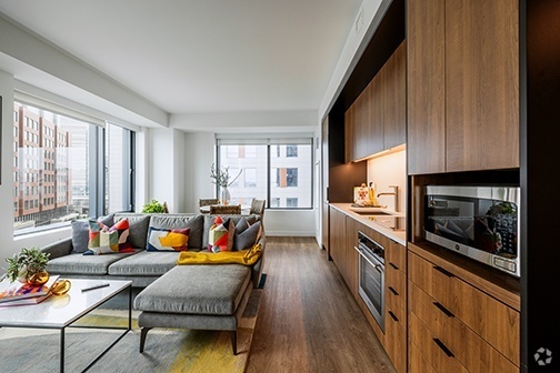
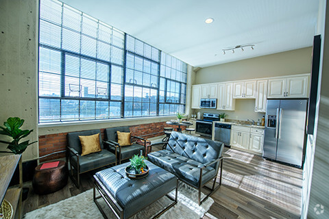
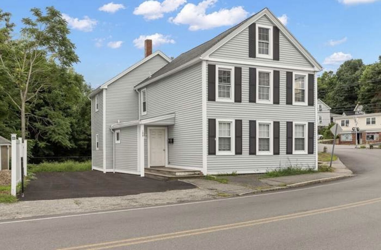
199 Andover St Unit 2
Andover, MA 01810

Check Back Soon for Upcoming Availability
| Beds | Baths | Average SF |
|---|---|---|
| 3 Bedrooms 3 Bedrooms 3 Br | 1 Bath 1 Bath 1 Ba | 1,050 SF |
199 Andover St is an apartment community located in Essex County and the 01810 ZIP Code. This area is served by the Andover attendance zone.
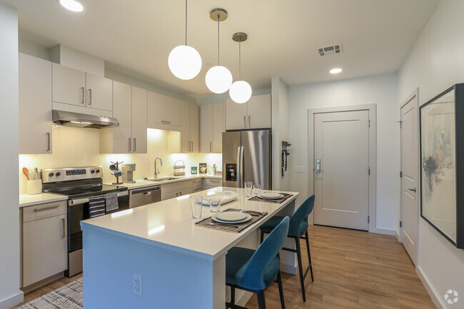
Apartment Features
- Washer/Dryer Hookup
- Smoke Free
- Dishwasher
Fees and Policies
The fees below are based on community-supplied data and may exclude additional fees and utilities.
- Parking
-
Surface Lot--
Details
Utilities Included
-
Gas
-
Water
-
Trash Removal
-
Sewer
Property Information
-
Built in 1900
-
2 units
Located about 20 miles north of Downtown Boston, Andover is a classic and historic New England gem first settled in 1642. Andover features a beautiful downtown shopping district, complete with historic architecture and cobblestone walkways. Andover extends from the Merrimack River southeast to roughly the Andover Bypass. It is home to the historic Phillips Academy, a preparatory school established in 1778, making it one of the country's oldest high schools. The oldest home in Andover, the Chandler-Bigsby-Abbot House, was built sometime before 1673.
Merrimack College sits on the east side of Andover, making the city popular with students. Other destinations include the Robert S. Peabody Museum of Archaeology, the Addison Gallery of American Art, and Indian Ridge Reservation. Harold Parker State Forest covers more than 3,300 acres across Andover, North Andover, and Reading. Outdoor activities include camping, hiking, biking, and fishing.
Learn more about living in Andover- Washer/Dryer Hookup
- Smoke Free
- Dishwasher
| Colleges & Universities | Distance | ||
|---|---|---|---|
| Colleges & Universities | Distance | ||
| Drive: | 9 min | 4.0 mi | |
| Drive: | 19 min | 9.1 mi | |
| Drive: | 21 min | 10.1 mi | |
| Drive: | 25 min | 11.7 mi |
 The GreatSchools Rating helps parents compare schools within a state based on a variety of school quality indicators and provides a helpful picture of how effectively each school serves all of its students. Ratings are on a scale of 1 (below average) to 10 (above average) and can include test scores, college readiness, academic progress, advanced courses, equity, discipline and attendance data. We also advise parents to visit schools, consider other information on school performance and programs, and consider family needs as part of the school selection process.
View GreatSchools Rating Methodology
Transportation options available in Andover include Oak Grove Station, located 15.7 miles from 199 Andover St Unit 2. 199 Andover St Unit 2 is near General Edward Lawrence Logan International, located 23.5 miles or 34 minutes away, and Manchester Boston Regional, located 32.0 miles or 48 minutes away.
| Transit / Subway | Distance | ||
|---|---|---|---|
| Transit / Subway | Distance | ||
|
|
Drive: | 24 min | 15.7 mi |
|
|
Drive: | 24 min | 17.0 mi |
| Drive: | 24 min | 17.2 mi | |
| Drive: | 25 min | 17.7 mi | |
|
|
Drive: | 29 min | 20.1 mi |
| Commuter Rail | Distance | ||
|---|---|---|---|
| Commuter Rail | Distance | ||
|
|
Walk: | 1 min | 0.1 mi |
|
|
Drive: | 6 min | 2.9 mi |
|
|
Drive: | 9 min | 4.6 mi |
|
|
Drive: | 11 min | 5.8 mi |
|
|
Drive: | 12 min | 6.4 mi |
| Airports | Distance | ||
|---|---|---|---|
| Airports | Distance | ||
|
General Edward Lawrence Logan International
|
Drive: | 34 min | 23.5 mi |
|
Manchester Boston Regional
|
Drive: | 48 min | 32.0 mi |
Time and distance from 199 Andover St Unit 2.
| Shopping Centers | Distance | ||
|---|---|---|---|
| Shopping Centers | Distance | ||
| Drive: | 7 min | 3.2 mi | |
| Drive: | 8 min | 3.8 mi | |
| Drive: | 9 min | 4.4 mi |
| Parks and Recreation | Distance | ||
|---|---|---|---|
| Parks and Recreation | Distance | ||
|
Stevens-Coolidge Place
|
Drive: | 9 min | 4.7 mi |
|
Harold Parker State Forest
|
Drive: | 15 min | 5.5 mi |
|
Lawrence Heritage State Park
|
Drive: | 12 min | 6.2 mi |
|
Smolak Farms
|
Drive: | 15 min | 7.4 mi |
|
Windrush Farm
|
Drive: | 22 min | 10.3 mi |
| Hospitals | Distance | ||
|---|---|---|---|
| Hospitals | Distance | ||
| Drive: | 15 min | 7.7 mi | |
| Drive: | 23 min | 11.2 mi | |
| Drive: | 22 min | 14.6 mi |
| Military Bases | Distance | ||
|---|---|---|---|
| Military Bases | Distance | ||
| Drive: | 29 min | 18.9 mi | |
| Drive: | 41 min | 20.3 mi | |
| Drive: | 47 min | 23.5 mi |
You May Also Like
Similar Rentals Nearby
What Are Walk Score®, Transit Score®, and Bike Score® Ratings?
Walk Score® measures the walkability of any address. Transit Score® measures access to public transit. Bike Score® measures the bikeability of any address.
What is a Sound Score Rating?
A Sound Score Rating aggregates noise caused by vehicle traffic, airplane traffic and local sources
