
$4,000 / Month
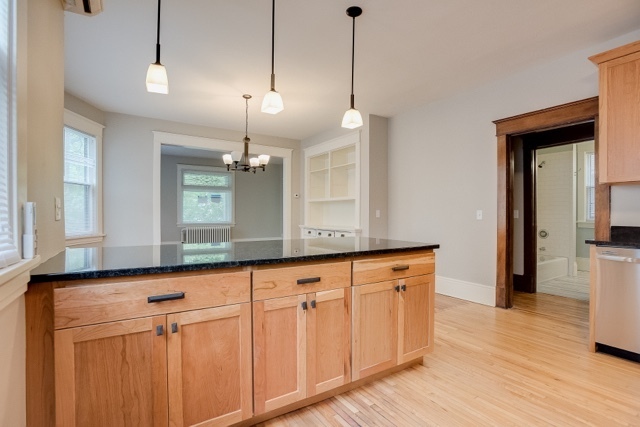
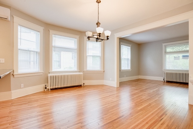
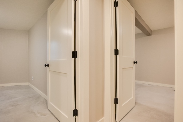
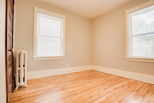
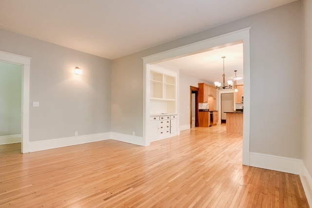
1997-1999 Ashland Ave Unit Lower
Saint Paul, MN 55104
Today
Favorites
651-428-7162
-
Bedrooms
5
-
Bathrooms
2
-
Square Feet
--
-
Available
Available Jun 1
1997-1999 Ashland Ave Unit Lower

Favorites
Contact
- Listed by Grand | Grand Realty Property Management
- Phone Number
- Contact
Location
Get Directions
Along the shore of the Mississippi River, Merriam Park West offers riverfront parks, a large golf course, and quaint local restaurants just minutes from downtown Saint Paul, Minnesota. Stop on in at Izzy’s Ice Cream Café, or grab a treat at Black Coffee and Waffle Bar. Local businesses thrive alongside riverfront community spaces like Shadow Falls Park, a picturesque nature preserve.
The University of Saint Thomas resides on the south end of town, and the neighborhood offers a blend of private and public schools, churches, and every day conveniences. Situated just five miles southeast of Minneapolis and seven miles northeast of the Minneapolis-Saint Paul International Airport, this neighborhood is in a premier location for commuting, shopping, dining, and entertainment.
Learn more about living in Merriam Park West
Education
| Colleges & Universities | Distance | ||
|---|---|---|---|
| Colleges & Universities | Distance | ||
| Walk: | 9 min | 0.5 mi | |
| Drive: | 3 min | 1.3 mi | |
| Drive: | 4 min | 1.7 mi | |
| Drive: | 6 min | 2.0 mi |
1997-1999 Ashland Ave Unit Lower is within 9 minutes or 0.5 mile from Univ. of St Thomas, St. Paul. It is also near Macalester College and St. Catherine University.
Transportation options available in Saint Paul include Fairview Ave Station, located 1.3 miles from 1997-1999 Ashland Ave Unit Lower. 1997-1999 Ashland Ave Unit Lower is near Minneapolis-St Paul International/Wold-Chamberlain, located 7.1 miles or 15 minutes away.
| Transit / Subway | Distance | ||
|---|---|---|---|
| Transit / Subway | Distance | ||
| Drive: | 3 min | 1.3 mi | |
| Drive: | 4 min | 1.7 mi | |
| Drive: | 5 min | 1.9 mi | |
| Drive: | 4 min | 2.2 mi | |
| Drive: | 6 min | 2.4 mi |
| Commuter Rail | Distance | ||
|---|---|---|---|
| Commuter Rail | Distance | ||
|
|
Drive: | 10 min | 5.8 mi |
|
|
Drive: | 14 min | 6.5 mi |
|
|
Drive: | 22 min | 15.0 mi |
|
|
Drive: | 32 min | 23.9 mi |
|
|
Drive: | 34 min | 25.5 mi |
| Airports | Distance | ||
|---|---|---|---|
| Airports | Distance | ||
|
Minneapolis-St Paul International/Wold-Chamberlain
|
Drive: | 15 min | 7.1 mi |
Time and distance from 1997-1999 Ashland Ave Unit Lower.
| Shopping Centers | Distance | ||
|---|---|---|---|
| Shopping Centers | Distance | ||
| Drive: | 3 min | 1.3 mi | |
| Drive: | 4 min | 1.9 mi | |
| Drive: | 5 min | 2.0 mi |
1997-1999 Ashland Ave Unit Lower has 3 shopping centers within 2.0 miles, which is about a 5-minute drive. The miles and minutes will be for the farthest away property.
| Parks and Recreation | Distance | ||
|---|---|---|---|
| Parks and Recreation | Distance | ||
|
Macalester College Observatory
|
Drive: | 3 min | 1.3 mi |
|
Brackett Park
|
Drive: | 6 min | 2.2 mi |
|
Newell Park
|
Drive: | 5 min | 2.2 mi |
|
Longfellow Park
|
Drive: | 7 min | 2.6 mi |
|
Hiawatha School Park
|
Drive: | 9 min | 3.7 mi |
1997-1999 Ashland Ave Unit Lower has 5 parks within 3.7 miles, including Macalester College Observatory, Newell Park, and Brackett Park.
| Hospitals | Distance | ||
|---|---|---|---|
| Hospitals | Distance | ||
| Drive: | 7 min | 3.8 mi | |
| Drive: | 8 min | 4.1 mi | |
| Drive: | 12 min | 4.4 mi |
1997-1999 Ashland Ave Unit Lower has 3 hospitals within 4.4 miles, the nearest is University of Minnesota Medical Center, Fairview which is 3.8 miles away and a 7 minute drive.
| Military Bases | Distance | ||
|---|---|---|---|
| Military Bases | Distance | ||
| Drive: | 14 min | 5.8 mi |
1997-1999 Ashland Ave Unit Lower is 5.8 miles and a 14 minute drive from Fort Snelling Military Reservation.
You May Also Like
-
Marshall Suites Furnished Luxury Apartments
1975-1977 Marshall Ave
Saint Paul, MN 55104
4 Br $2,995-$3,600 0.3 mi
-
Doyle Apartments
1307 4th St SE
Minneapolis, MN 55414
4 Br $2,700-$3,000 3.6 mi
-
Avalon Apartments & Townhomes
9800 Diffley Ct, Inver Grove Hts
Inver Grove Heights, MN 55077
4 Br $3,115 10.4 mi
Similar Rentals Nearby


What Are Walk Score®, Transit Score®, and Bike Score® Ratings?
Walk Score® measures the walkability of any address. Transit Score® measures access to public transit. Bike Score® measures the bikeability of any address.
What is a Sound Score Rating?
A Sound Score Rating aggregates noise caused by vehicle traffic, airplane traffic and local sources
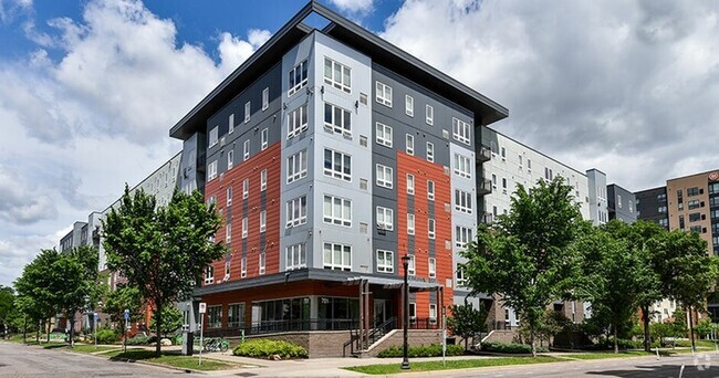
1997-1999 Ashland Ave
Saint Paul, MN 55104