
$1,650 / Month
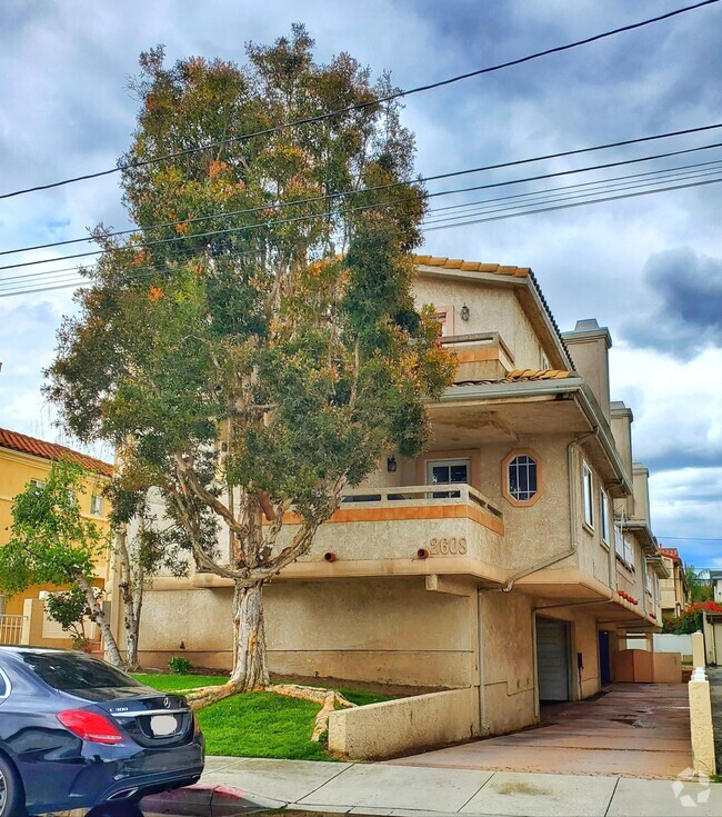
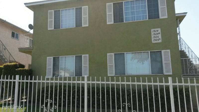
1926 W Imperial Hwy
Los Angeles, CA 90047
2 Weeks Ago
Favorites
1926 W Imperial Hwy

Favorites
Check Back Soon for Upcoming Availability
| Beds | Baths | Average SF |
|---|---|---|
| 2 Bedrooms 2 Bedrooms 2 Br | 1 Bath 1 Bath 1 Ba | 835 SF |
About This Property
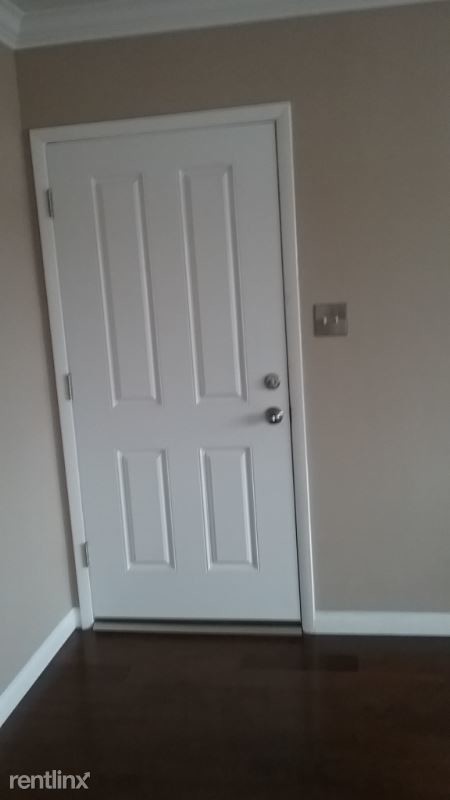
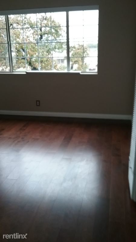
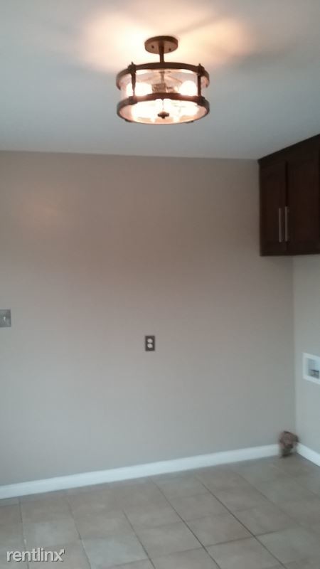
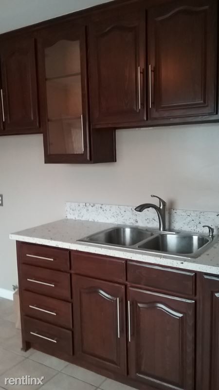
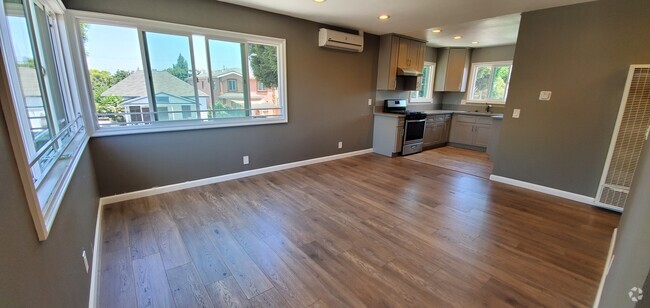
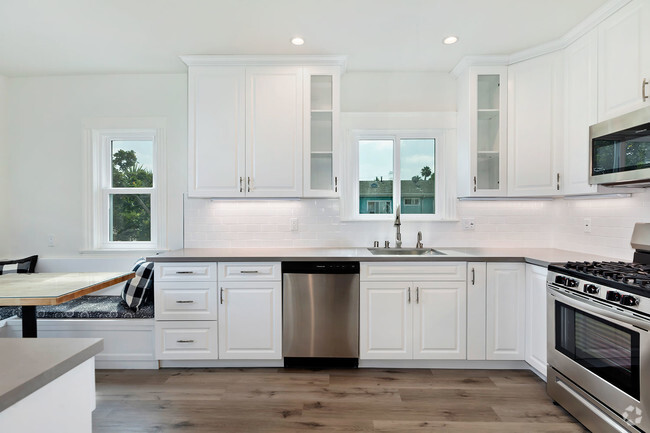
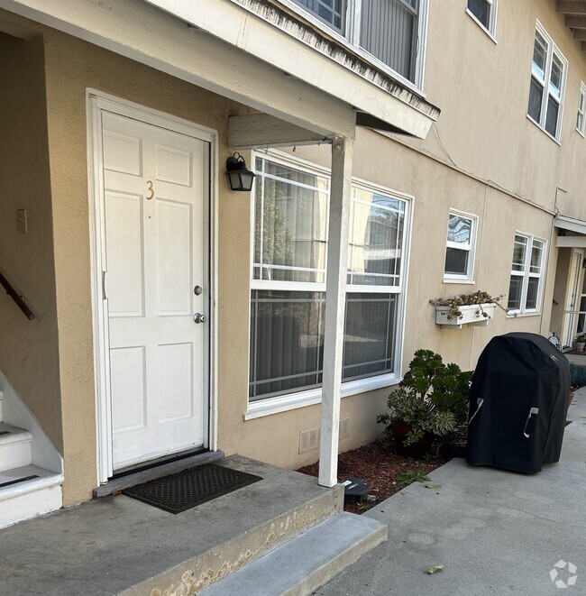
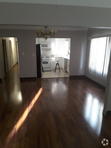
(213) 407-4167 - Multifamily 4 Unit Apt Bldg near Southwest College - Property Id: 100040 * 2 Bedroom/ 1 Bath Up-graded unit upstairs * Close to shopping center & near public transp * New hardwood floor in living room and hallway * New crown molding in living room * New carpeting and ceiling fans in both bedrooms * Re-furbished kitchen cabinets & SS hardware * New Quartz kitchen counter top & new faucet * New bathroom custom vanity W/new Quartz counter with bling. Gated Yard, shared garage parking (1) car Apply at TurboTenant: http://rental.turbotenant.com/properties/100040 Property Id 100040 No Pets Allowed (RLNE4708661) Other Amenities: Other (Cooling System: None). Appliances: Garbage Disposal. Lease lengths: 12 Months. Utilities: Water Included, Trash Pick-up Included. Pet policies: No Dogs Allowed, No Pets Allowed.
1926 W Imperial Hwy is a condo located in Los Angeles County and the 90047 ZIP Code. This area is served by the Los Angeles Unified attendance zone.
Unique Features
- No Dogs Allowed, No Pets Allowed, Amenities - Cooling System: None, Amenities - Floor Covering: Carp
Fees and Policies
The fees below are based on community-supplied data and may exclude additional fees and utilities.
Details
Utilities Included
-
Water
Location
Get Directions
Westmont is a community east of Inglewood in the southern part of Los Angeles. Westmont is characterized as a typical Los Angeles neighborhood with well-populated residential avenues holding an array of rental choices. Shops and restaurants dot the neighborhood, but large shopping centers like Crenshaw Imperial Plaza and the Village at Century are located within minutes of Westmont. Despite being in the urbanized Los Angeles region, outdoor adventure abounds in nearby golf courses, parks, and recreation centers. Commuters appreciate the neighborhood’s easy access to Interstate 105 and 110 junction, making travel in and around the are simple and convenient.
Learn more about living in WestmontBelow are rent ranges for similar nearby apartments
Amenities
- No Dogs Allowed, No Pets Allowed, Amenities - Cooling System: None, Amenities - Floor Covering: Carp
Expenses
Utilities Included
Water
Included
Education
| Colleges & Universities | Distance | ||
|---|---|---|---|
| Colleges & Universities | Distance | ||
| Walk: | 10 min | 0.6 mi | |
| Drive: | 7 min | 4.6 mi | |
| Drive: | 15 min | 8.9 mi | |
| Drive: | 14 min | 9.4 mi |
1926 W Imperial Hwy is within 10 minutes or 0.6 mile from Los Angeles Southwest College. It is also near El Camino College, Torrance and Cal State Dominguez Hills.
Schools


Charter Elementary School
Grades K-5
417 Students
Nearby
Public Elementary School
Grades K-5
259 Students
Attendance Zone
Charter Middle School
Grades 6-8
917 Students
Attendance Zone
Public High School
Grades 9-12
744 Students
Attendance Zone
Private Elementary School
Grades PK-5
Nearby
Private Elementary, Middle & High School
Grades K-12
Nearby
Private Elementary School
Grades PK-2
26 Students
Nearby
School data provided by
 The GreatSchools Rating helps parents compare schools within a state based on a variety of school quality indicators and provides a helpful picture of how effectively each school serves all of its students. Ratings are on a scale of 1 (below average) to 10 (above average) and can include test scores, college readiness, academic progress, advanced courses, equity, discipline and attendance data. We also advise parents to visit schools, consider other information on school performance and programs, and consider family needs as part of the school selection process.
View GreatSchools Rating Methodology
View GreatSchools Rating Methodology
Transportation options available in Los Angeles include Vermont Station, located 1.3 miles from 1926 W Imperial Hwy. 1926 W Imperial Hwy is near Los Angeles International, located 7.4 miles or 12 minutes away, and Long Beach (Daugherty Field), located 15.2 miles or 22 minutes away.
| Transit / Subway | Distance | ||
|---|---|---|---|
| Transit / Subway | Distance | ||
|
|
Drive: | 2 min | 1.3 mi |
|
|
Drive: | 3 min | 1.5 mi |
|
|
Drive: | 3 min | 1.9 mi |
|
|
Drive: | 5 min | 3.0 mi |
|
|
Drive: | 8 min | 5.8 mi |
| Commuter Rail | Distance | ||
|---|---|---|---|
| Commuter Rail | Distance | ||
|
|
Drive: | 18 min | 12.5 mi |
|
|
Drive: | 20 min | 12.7 mi |
|
|
Drive: | 24 min | 15.0 mi |
|
|
Drive: | 26 min | 16.5 mi |
| Drive: | 21 min | 16.5 mi |
| Airports | Distance | ||
|---|---|---|---|
| Airports | Distance | ||
|
Los Angeles International
|
Drive: | 12 min | 7.4 mi |
|
Long Beach (Daugherty Field)
|
Drive: | 22 min | 15.2 mi |
Time and distance from 1926 W Imperial Hwy.
| Shopping Centers | Distance | ||
|---|---|---|---|
| Shopping Centers | Distance | ||
| Walk: | 4 min | 0.2 mi | |
| Walk: | 15 min | 0.8 mi | |
| Walk: | 15 min | 0.8 mi |
1926 W Imperial Hwy has 3 shopping centers within 0.8 mile, which is about a 15-minute walk. The miles and minutes will be for the farthest away property.
| Parks and Recreation | Distance | ||
|---|---|---|---|
| Parks and Recreation | Distance | ||
|
Watts Towers-Rodia State Park
|
Drive: | 9 min | 4.8 mi |
|
Watts Senior Center & Rose Garden
|
Drive: | 8 min | 5.0 mi |
|
Compton Creek Natural Park at George Washington Elementary
|
Drive: | 10 min | 6.1 mi |
|
Augustus Hawkins Natural Park
|
Drive: | 11 min | 7.8 mi |
|
California Science Center
|
Drive: | 12 min | 8.0 mi |
1926 W Imperial Hwy has 5 parks within 8.0 miles, including Watts Towers-Rodia State Park, Watts Senior Center & Rose Garden, and Compton Creek Natural Park at George Washington Elementary.
| Hospitals | Distance | ||
|---|---|---|---|
| Hospitals | Distance | ||
| Drive: | 7 min | 3.4 mi | |
| Drive: | 6 min | 3.7 mi | |
| Drive: | 7 min | 4.4 mi |
1926 W Imperial Hwy has 3 hospitals within 4.4 miles, the nearest is Centinela Hospital Medical Center which is 3.4 miles away and a 7 minute drive.
| Military Bases | Distance | ||
|---|---|---|---|
| Military Bases | Distance | ||
| Drive: | 9 min | 5.7 mi |
1926 W Imperial Hwy is 5.7 miles and a 9 minute drive from Los Angeles Air Force Base.
You May Also Like
Similar Rentals Nearby
What Are Walk Score®, Transit Score®, and Bike Score® Ratings?
Walk Score® measures the walkability of any address. Transit Score® measures access to public transit. Bike Score® measures the bikeability of any address.
What is a Sound Score Rating?
A Sound Score Rating aggregates noise caused by vehicle traffic, airplane traffic and local sources
1926 W Imperial Hwy
Los Angeles, CA 90047