
$1,950 / Month
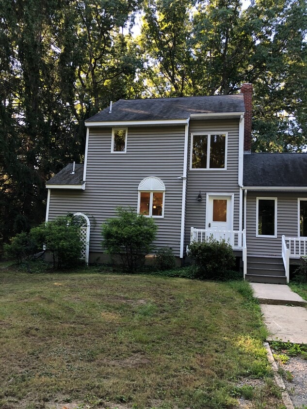
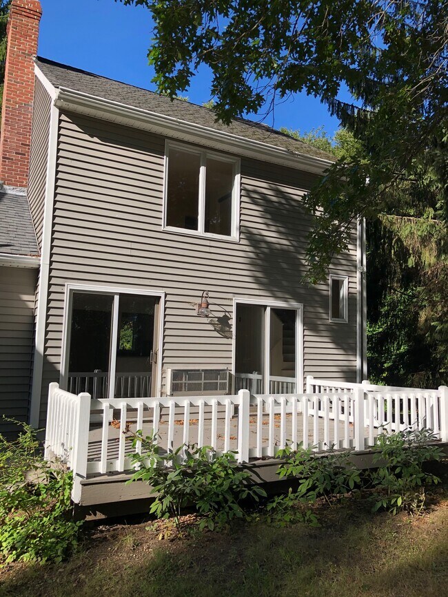
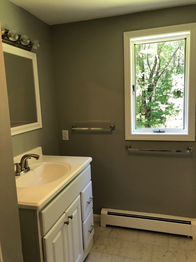
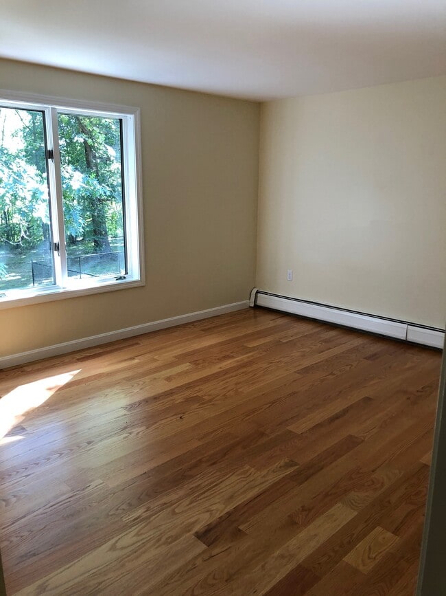
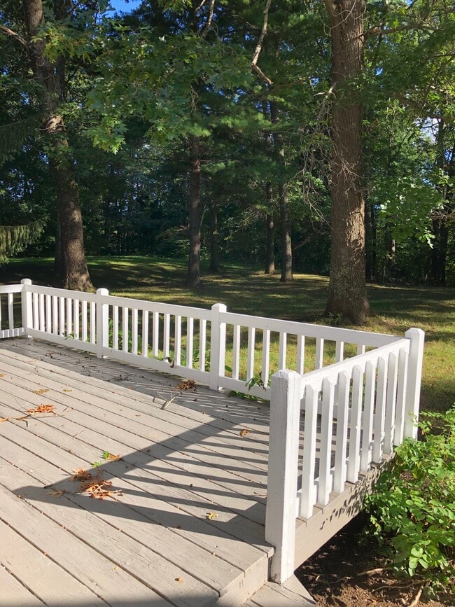
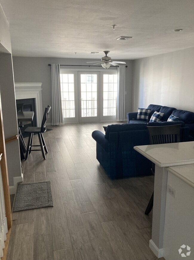
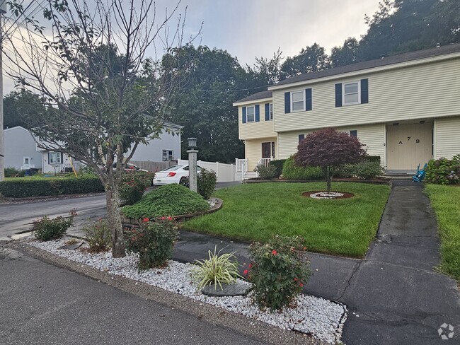
20 Crane Neck St
West Newbury, MA 01985
2 Weeks Ago
Favorites
20 Crane Neck St

Favorites
Check Back Soon for Upcoming Availability
| Beds | Baths | Average SF |
|---|---|---|
| 2 Bedrooms 2 Bedrooms 2 Br | 1.5 Baths 1.5 Baths 1.5 Ba | 1,077 SF |
20 Crane Neck St is a townhome located in Essex County and the 01985 ZIP Code.
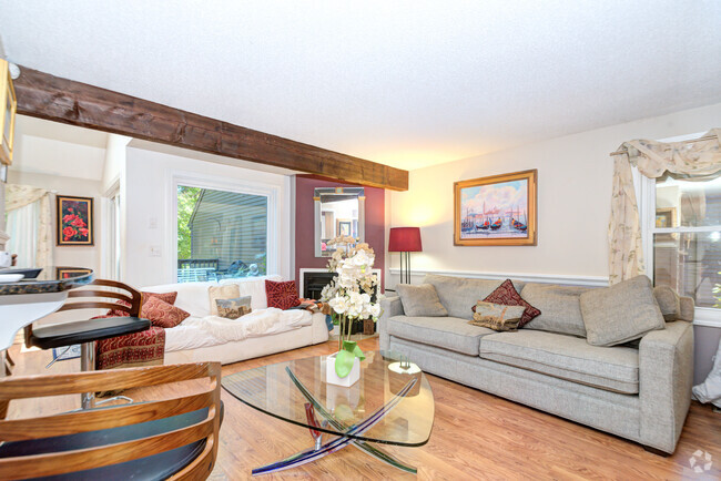
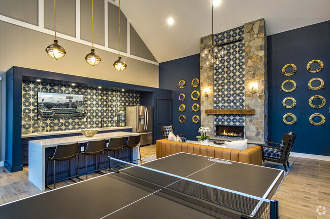
Townhome Features
Air Conditioning
Dishwasher
Fireplace
Smoke Free
- Air Conditioning
- Smoke Free
- Fireplace
- Dishwasher
Fees and Policies
The fees below are based on community-supplied data and may exclude additional fees and utilities.
Details
Utilities Included
-
Water
-
Sewer
Property Address:
20 Crane Neck St,
West Newbury,
MA
01985
Close to New Hampshire, 40 minutes north of Boston and nestled along the shores of the Atlantic, the Outer North Shore neighborhood awaits you in the town of Essex. Providing rural living with plenty of water-related activities and located amongst other historically popular North Shore communities, the Outer North Shore neighborhood remains a desirable destination for retirees, married couples and even some families.
All that yearn to be near the ocean and close to Boston can have the best of both worlds residing in Outer North Shore. With a lower cost of living, waterfront properties and modern day conveniences, the neighborhood appeals to ex-Bostonians, who often head here to live in a quieter community.
Learn more about living in North ShoreBelow are rent ranges for similar nearby apartments
Amenities
- Air Conditioning
- Smoke Free
- Fireplace
- Dishwasher
Expenses
Utilities Included
Water, Sewer
Included
Education
| Colleges & Universities | Distance | ||
|---|---|---|---|
| Colleges & Universities | Distance | ||
| Drive: | 13 min | 5.8 mi | |
| Drive: | 25 min | 11.9 mi | |
| Drive: | 24 min | 16.5 mi | |
| Drive: | 39 min | 25.8 mi |
20 Crane Neck St is within 13 minutes or 5.8 miles from Northern Essex Comm. Coll.. It is also near Merrimack College and North Shore C.C., Danvers.
Transportation options available in West Newbury include Oak Grove Station, located 29.8 miles from 20 Crane Neck St. 20 Crane Neck St is near Portsmouth International at Pease, located 26.3 miles or 39 minutes away, and Manchester Boston Regional, located 36.7 miles or 56 minutes away.
| Transit / Subway | Distance | ||
|---|---|---|---|
| Transit / Subway | Distance | ||
|
|
Drive: | 43 min | 29.8 mi |
|
|
Drive: | 45 min | 30.1 mi |
|
|
Drive: | 45 min | 30.9 mi |
|
|
Drive: | 46 min | 31.2 mi |
| Drive: | 50 min | 37.5 mi |
| Commuter Rail | Distance | ||
|---|---|---|---|
| Commuter Rail | Distance | ||
|
|
Drive: | 10 min | 5.8 mi |
|
|
Drive: | 11 min | 6.2 mi |
|
|
Drive: | 16 min | 7.9 mi |
|
|
Drive: | 21 min | 10.7 mi |
|
|
Drive: | 22 min | 14.1 mi |
| Airports | Distance | ||
|---|---|---|---|
| Airports | Distance | ||
|
Portsmouth International at Pease
|
Drive: | 39 min | 26.3 mi |
|
Manchester Boston Regional
|
Drive: | 56 min | 36.7 mi |
Time and distance from 20 Crane Neck St.
| Shopping Centers | Distance | ||
|---|---|---|---|
| Shopping Centers | Distance | ||
| Drive: | 6 min | 3.0 mi | |
| Drive: | 9 min | 5.2 mi | |
| Drive: | 13 min | 6.6 mi |
20 Crane Neck St has 3 shopping centers within 6.6 miles, which is about a 13-minute drive. The miles and minutes will be for the farthest away property.
| Parks and Recreation | Distance | ||
|---|---|---|---|
| Parks and Recreation | Distance | ||
|
Bradford Ski Area
|
Drive: | 10 min | 4.7 mi |
|
Maudslay State Park
|
Drive: | 11 min | 5.5 mi |
|
Georgetown-Rowley State Forest
|
Drive: | 18 min | 8.1 mi |
|
Parker River National Wildlife Refuge
|
Drive: | 18 min | 9.9 mi |
|
Thacher Island National Wildlife Refuge
|
Drive: | 18 min | 9.9 mi |
20 Crane Neck St has 5 parks within 9.9 miles, including Bradford Ski Area, Maudslay State Park, and Georgetown-Rowley State Forest.
| Hospitals | Distance | ||
|---|---|---|---|
| Hospitals | Distance | ||
| Drive: | 9 min | 5.2 mi | |
| Drive: | 14 min | 7.2 mi | |
| Drive: | 21 min | 13.3 mi |
20 Crane Neck St has 3 hospitals within 13.3 miles, the nearest is Whittier Pavilion which is 5.2 miles away and a 9 minute drive.
| Military Bases | Distance | ||
|---|---|---|---|
| Military Bases | Distance | ||
| Drive: | 41 min | 25.0 mi | |
| Drive: | 40 min | 26.6 mi | |
| Drive: | 47 min | 28.1 mi |
20 Crane Neck St has 3 military bases within 28.1 miles, the nearest is Fort Pickering which is 25.0 miles away and a 41 minute drive.
You May Also Like
Similar Rentals Nearby
-
-
-
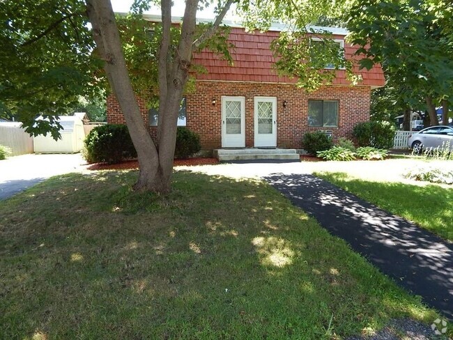
 $3,3003 Beds, 1.5 Baths, 1,620 sq ftTownhome for Rent
 -
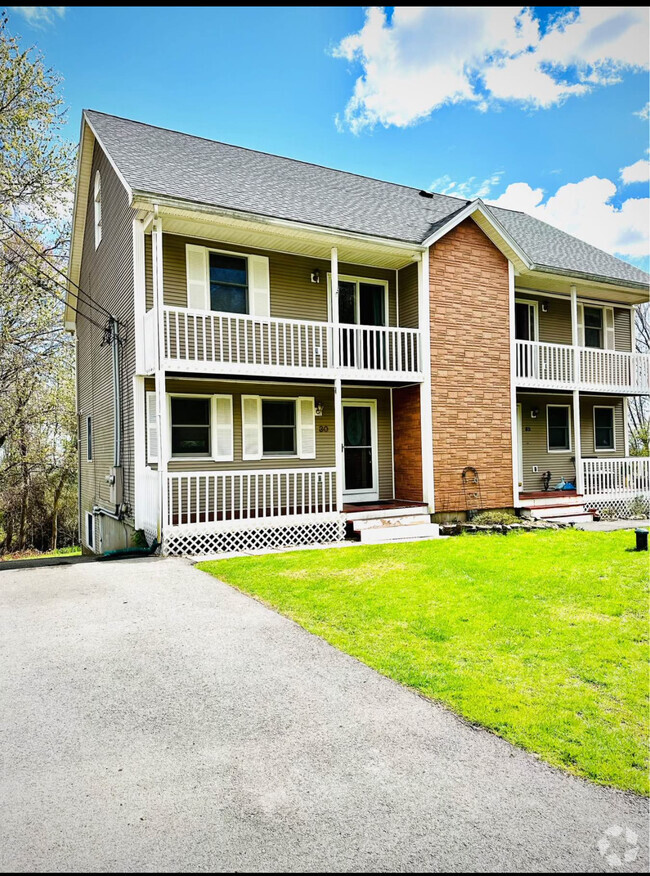
 $3,0002 Beds, 2.5 Baths, 1,650 sq ftTownhome for Rent
 -
 $3,0002 Beds, 2 Baths, 1,200 sq ftTownhome for Rent
 -
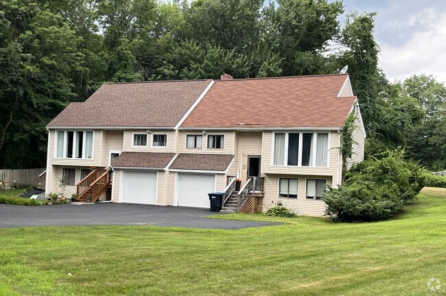
 $3,2002 Beds, 2.5 Baths, 1,935 sq ftTownhome for Rent
 -
 $3,9003 Beds, 1.5 Baths, 2,350 sq ftTownhome for Rent
 -
-
-

What Are Walk Score®, Transit Score®, and Bike Score® Ratings?
Walk Score® measures the walkability of any address. Transit Score® measures access to public transit. Bike Score® measures the bikeability of any address.
What is a Sound Score Rating?
A Sound Score Rating aggregates noise caused by vehicle traffic, airplane traffic and local sources

20 Crane Neck St
West Newbury, MA 01985