
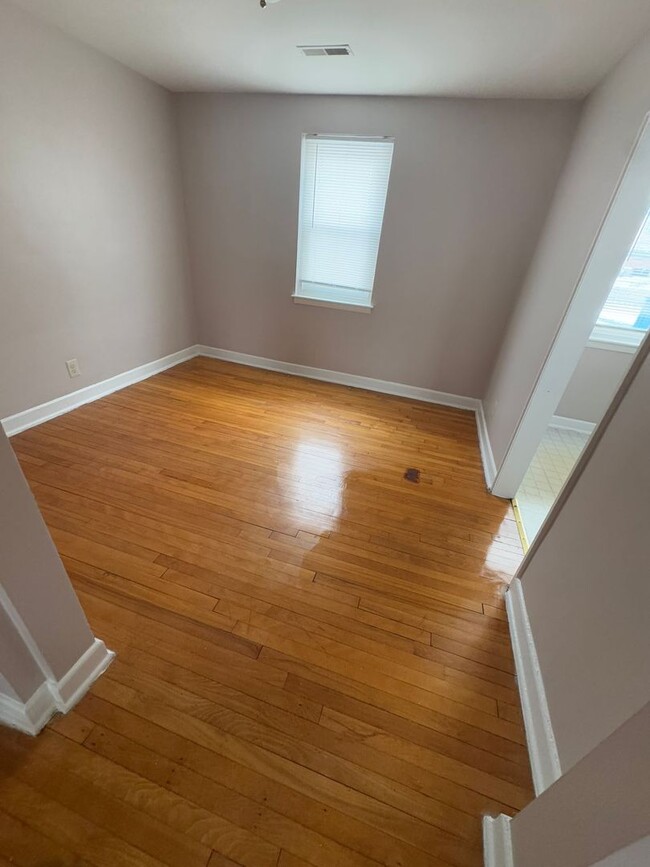
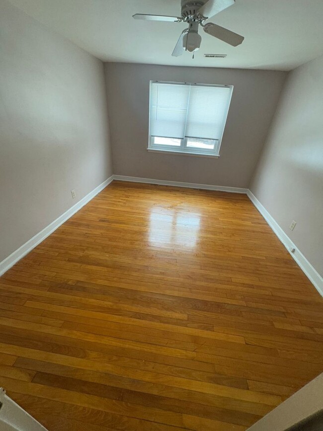
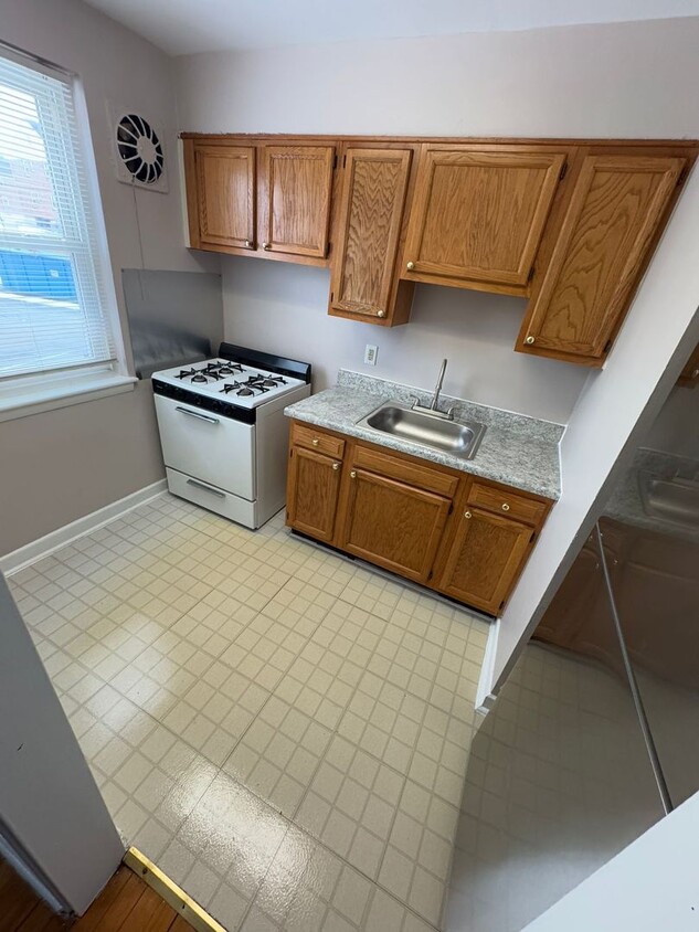
$995 / Month
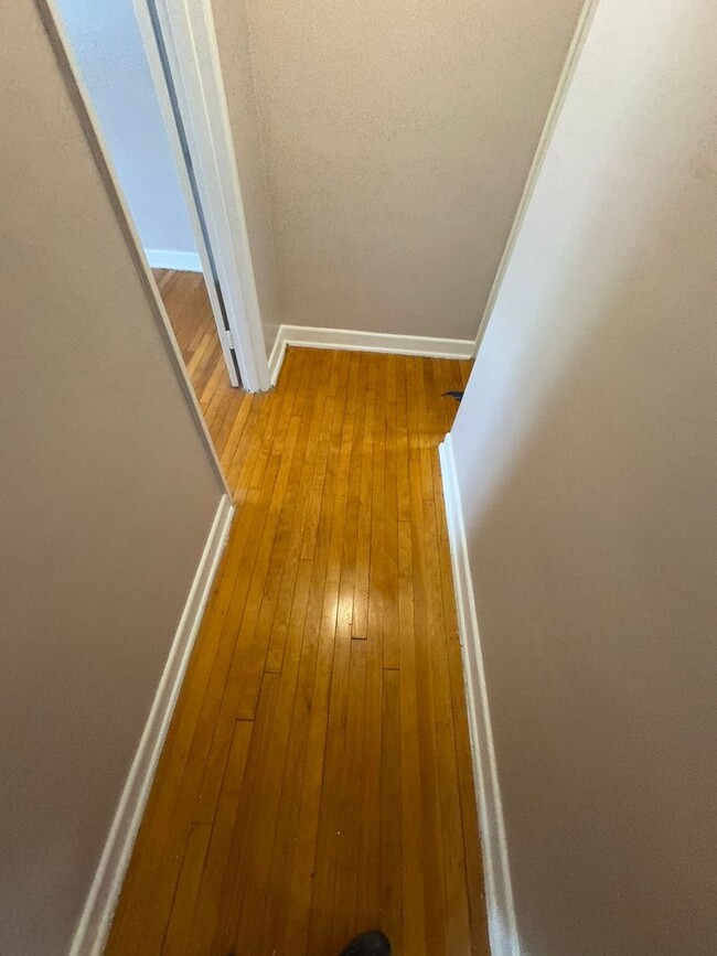
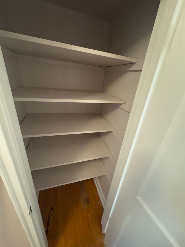
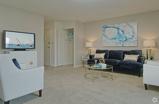
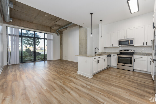
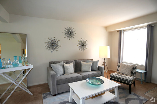
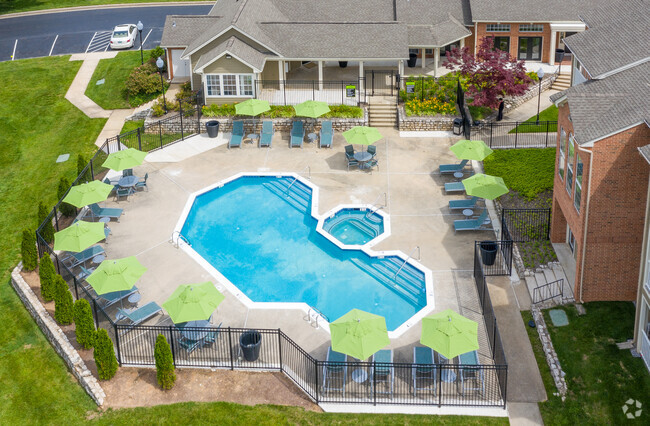
2005 Lydonlea Way Unit 2005 Lydonlea Way - D
Baltimore, MD 21239
Today
Favorites
410-231-7629
-
Bedrooms
1
-
Bathrooms
1
-
Square Feet
714 sq ft
-
Available
Available Now
2005 Lydonlea Way Unit 2005 Lydonlea Way - D

Favorites
Contact
- Listed by The Mount Washington Group | The Mount Washington Group
- Phone Number
- Contact
Location
Get Directions
In the northeast corner of Baltimore, Loch Raven presents trim lawns and flowerbeds spread before tidy row houses and red-brick apartment buildings. Tree-lined streets lead to the lush Mount Pleasant Park, while restaurants and stores abound along the busy Loch Raven Boulevard and Perring Parkway.
Good Samaritan Hospital, known to locals as "Good Sam," anchors the southern edge of this quintessential Baltimore neighborhood. Loch Raven, tucked between the bustle of downtown and the outer suburbs of Baltimore County, provides residents with an affordable alternative to both.
Learn more about living in Loch Raven
Education
| Colleges & Universities | Distance | ||
|---|---|---|---|
| Colleges & Universities | Distance | ||
| Drive: | 6 min | 1.9 mi | |
| Drive: | 8 min | 2.7 mi | |
| Drive: | 11 min | 3.8 mi | |
| Drive: | 11 min | 4.0 mi |
2005 Lydonlea Way Unit 2005 Lydonlea Way - D is within 6 minutes or 1.9 miles from Morgan State University. It is also near Loyola University Maryland and Notre Dame of Md. Univ..
Transportation options available in Baltimore include Mount Washington, located 4.9 miles from 2005 Lydonlea Way Unit 2005 Lydonlea Way - D. 2005 Lydonlea Way Unit 2005 Lydonlea Way - D is near Baltimore/Washington International Thurgood Marshall, located 16.4 miles or 34 minutes away.
| Transit / Subway | Distance | ||
|---|---|---|---|
| Transit / Subway | Distance | ||
|
|
Drive: | 13 min | 4.9 mi |
|
|
Drive: | 16 min | 5.2 mi |
|
|
Drive: | 14 min | 5.4 mi |
| Drive: | 15 min | 5.6 mi | |
|
|
Drive: | 14 min | 6.0 mi |
| Commuter Rail | Distance | ||
|---|---|---|---|
| Commuter Rail | Distance | ||
|
|
Drive: | 14 min | 5.2 mi |
|
|
Drive: | 19 min | 6.7 mi |
|
|
Drive: | 21 min | 8.0 mi |
|
|
Drive: | 31 min | 11.9 mi |
|
|
Drive: | 24 min | 12.3 mi |
| Airports | Distance | ||
|---|---|---|---|
| Airports | Distance | ||
|
Baltimore/Washington International Thurgood Marshall
|
Drive: | 34 min | 16.4 mi |
Time and distance from 2005 Lydonlea Way Unit 2005 Lydonlea Way - D.
| Shopping Centers | Distance | ||
|---|---|---|---|
| Shopping Centers | Distance | ||
| Walk: | 16 min | 0.9 mi | |
| Drive: | 4 min | 1.4 mi | |
| Drive: | 3 min | 1.4 mi |
2005 Lydonlea Way Unit 2005 Lydonlea Way - D has 3 shopping centers within 1.4 miles, which is about a 3-minute walk. The miles and minutes will be for the farthest away property.
| Parks and Recreation | Distance | ||
|---|---|---|---|
| Parks and Recreation | Distance | ||
|
Herring Run Park
|
Drive: | 9 min | 3.5 mi |
|
Clifton Park
|
Drive: | 9 min | 3.6 mi |
|
Maryland Natural History Society
|
Drive: | 9 min | 3.7 mi |
|
Watson-King Planetarium
|
Drive: | 11 min | 3.8 mi |
|
Maryland Space Grant Consortium Observatory
|
Drive: | 14 min | 4.9 mi |
2005 Lydonlea Way Unit 2005 Lydonlea Way - D has 5 parks within 4.9 miles, including Herring Run Park, Clifton Park, and Maryland Natural History Society.
| Hospitals | Distance | ||
|---|---|---|---|
| Hospitals | Distance | ||
| Drive: | 3 min | 1.1 mi | |
| Drive: | 10 min | 3.5 mi | |
| Drive: | 10 min | 4.0 mi |
2005 Lydonlea Way Unit 2005 Lydonlea Way - D has 3 hospitals within 4.0 miles, the nearest is MedStar Good Samaritan Hospital which is 1.1 miles away and a 3 minute drive.
| Military Bases | Distance | ||
|---|---|---|---|
| Military Bases | Distance | ||
| Drive: | 47 min | 26.7 mi |
2005 Lydonlea Way Unit 2005 Lydonlea Way - D is 26.7 miles and a 47 minute drive from Fort George Meade.
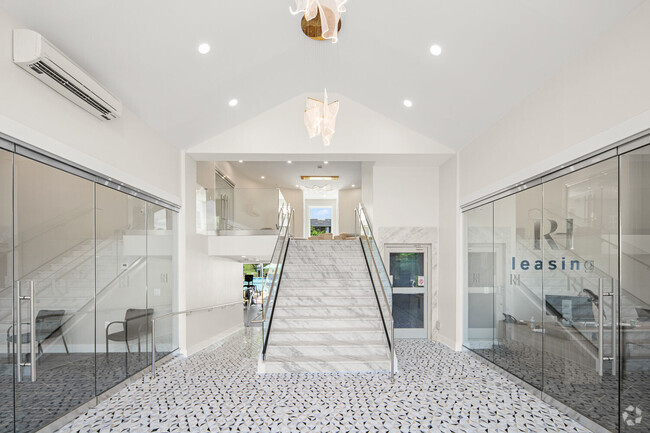
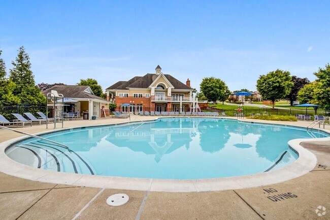
You May Also Like
-
The Preserve at Owings Crossing Apartment ...
10 Brookebury Dr
Reisterstown, MD 21136
1-3 Br $1,240-$3,002 14.4 mi
-
Oakridge Manor Apartments
7701 Oakwood Rd
Glen Burnie, MD 21061
1-3 Br $1,453-$2,111 14.7 mi
-
Southgate Apartments & Townhomes
362 Klagg Ct
Glen Burnie, MD 21061
1-3 Br $1,316-$2,129 15.7 mi
Similar Rentals Nearby


What Are Walk Score®, Transit Score®, and Bike Score® Ratings?
Walk Score® measures the walkability of any address. Transit Score® measures access to public transit. Bike Score® measures the bikeability of any address.
What is a Sound Score Rating?
A Sound Score Rating aggregates noise caused by vehicle traffic, airplane traffic and local sources
2005 Lydonlea Way
Baltimore, MD 21239