$2,500 / Month
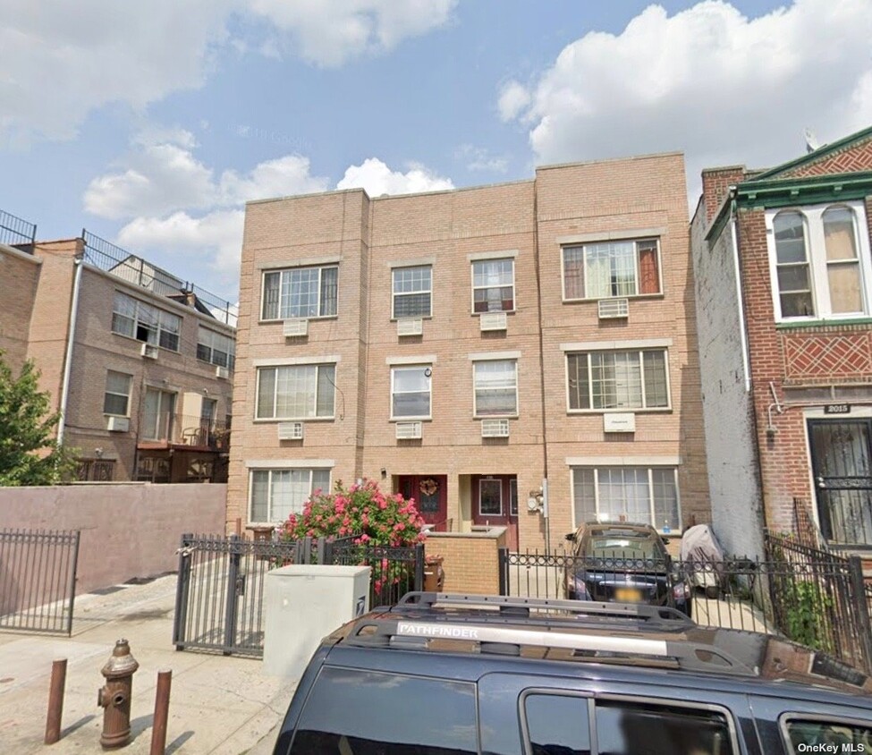
2011 Union St
Brooklyn, NY 11212
2 Weeks Ago
Favorites
2011 Union St

Favorites
Check Back Soon for Upcoming Availability
| Beds | Baths | Average SF |
|---|---|---|
| 3 Bedrooms 3 Bedrooms 3 Br | 1 Bath 1 Bath 1 Ba | — |
About This Property
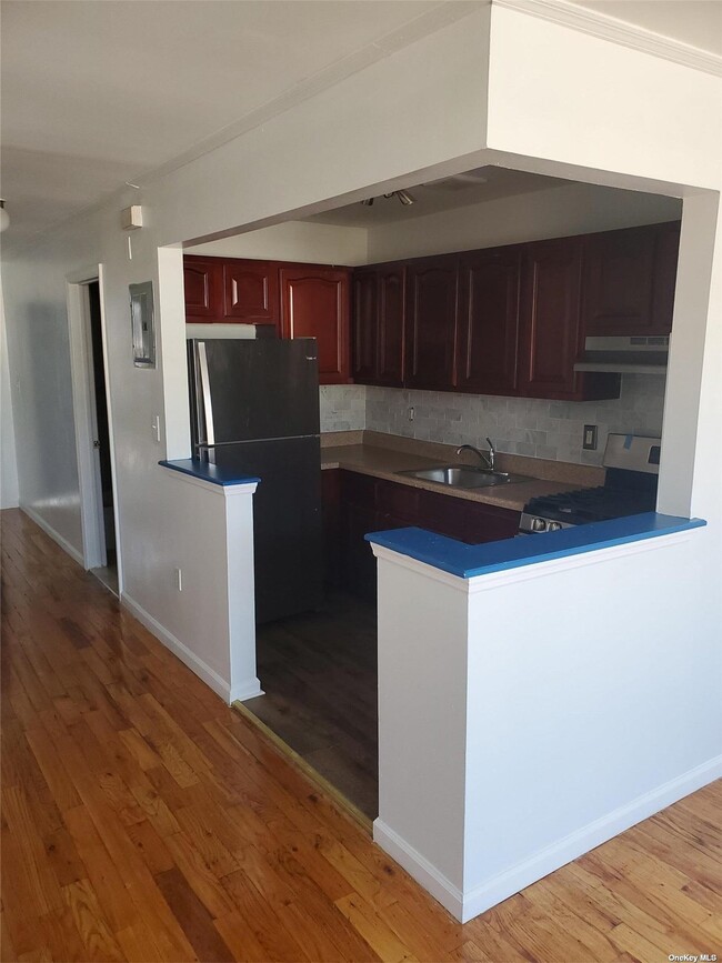
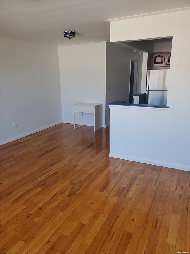
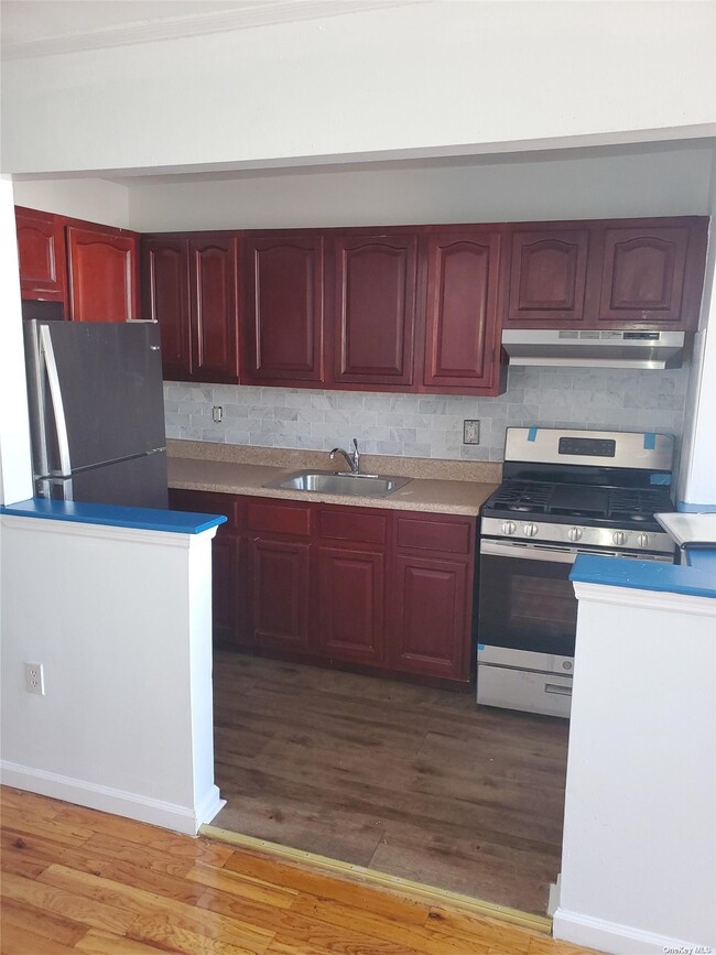
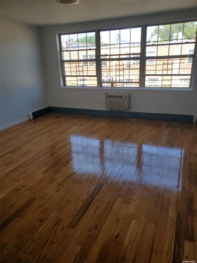
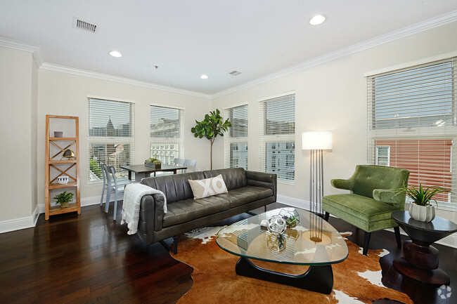
3 Bedroom apartment with lots of natural light. This apartment has all wood floors, high ceilings, lots of closets and fresh paint. This a must see so make appointment right away.
2011 Union St is an apartment community located in Kings County and the 11212 ZIP Code.
Property Address:
2011 Union St,
Brooklyn,
NY
11212
Brownsville is a residential neighborhood located about 19 miles southeast of Manhattan in the borough of Brooklyn. Renters appreciate the neighborhood’s affordable housing and accessibility to the city. Several famous people once called Brownsville home, including the Three Stooges. Brownsville boasts walkable streets and excellent access to public transportation. This close-knit community boasts a family-friendly vibe with access to several community parks like Betsy Head Park. Residents live next to the heart of Brooklyn, making Brownsville a great place for commuters.
Learn more about living in BrownsvilleBelow are rent ranges for similar nearby apartments
Education
| Colleges & Universities | Distance | ||
|---|---|---|---|
| Colleges & Universities | Distance | ||
| Drive: | 7 min | 2.4 mi | |
| Drive: | 12 min | 3.8 mi | |
| Drive: | 11 min | 4.0 mi | |
| Drive: | 10 min | 4.1 mi |
2011 Union St is within 7 minutes or 2.4 miles from Medgar Evers College, CUNY. It is also near Saint Joseph's Coll, Brooklyn and Pratt Institute.
Transportation options available in Brooklyn include Sutter Avenue-Rutland Road, located 0.2 mile from 2011 Union St. 2011 Union St is near Laguardia, located 9.9 miles or 22 minutes away, and John F Kennedy International, located 10.2 miles or 17 minutes away.
| Transit / Subway | Distance | ||
|---|---|---|---|
| Transit / Subway | Distance | ||
|
|
Walk: | 4 min | 0.2 mi |
|
|
Walk: | 11 min | 0.6 mi |
|
|
Walk: | 12 min | 0.6 mi |
|
|
Walk: | 19 min | 1.0 mi |
|
|
Drive: | 4 min | 1.1 mi |
| Commuter Rail | Distance | ||
|---|---|---|---|
| Commuter Rail | Distance | ||
|
|
Drive: | 3 min | 1.5 mi |
|
|
Drive: | 8 min | 2.8 mi |
|
|
Drive: | 11 min | 3.8 mi |
|
|
Drive: | 15 min | 6.4 mi |
|
|
Drive: | 19 min | 7.1 mi |
| Airports | Distance | ||
|---|---|---|---|
| Airports | Distance | ||
|
Laguardia
|
Drive: | 22 min | 9.9 mi |
|
John F Kennedy International
|
Drive: | 17 min | 10.2 mi |
Time and distance from 2011 Union St.
| Shopping Centers | Distance | ||
|---|---|---|---|
| Shopping Centers | Distance | ||
| Walk: | 13 min | 0.7 mi | |
| Drive: | 3 min | 1.2 mi | |
| Drive: | 6 min | 2.0 mi |
2011 Union St has 3 shopping centers within 2.0 miles, which is about a 6-minute walk. The miles and minutes will be for the farthest away property.
| Parks and Recreation | Distance | ||
|---|---|---|---|
| Parks and Recreation | Distance | ||
|
Betsy Head Memorial Playground
|
Walk: | 13 min | 0.7 mi |
|
St. John's Park
|
Drive: | 5 min | 1.5 mi |
|
Wingate Park
|
Drive: | 6 min | 1.9 mi |
|
Brooklyn Children's Museum
|
Drive: | 7 min | 2.1 mi |
|
Linden Playground
|
Drive: | 5 min | 2.5 mi |
2011 Union St has 5 parks within 2.5 miles, including Betsy Head Memorial Playground, St. John's Park, and Wingate Park.
| Hospitals | Distance | ||
|---|---|---|---|
| Hospitals | Distance | ||
| Drive: | 3 min | 1.1 mi | |
| Drive: | 4 min | 1.2 mi | |
| Drive: | 5 min | 1.5 mi |
2011 Union St has 3 hospitals within 1.5 miles, the nearest is Brookdale Hospital Medical Center which is 1.1 miles away and a 3 minute drive.
| Military Bases | Distance | ||
|---|---|---|---|
| Military Bases | Distance | ||
| Drive: | 22 min | 8.6 mi | |
| Drive: | 21 min | 10.5 mi |
2011 Union St is 8.6 miles from US Coast Guard Heliport, and is convenient to other military bases, including Governors Island Support Center.
You May Also Like
Similar Rentals Nearby


What Are Walk Score®, Transit Score®, and Bike Score® Ratings?
Walk Score® measures the walkability of any address. Transit Score® measures access to public transit. Bike Score® measures the bikeability of any address.
What is a Sound Score Rating?
A Sound Score Rating aggregates noise caused by vehicle traffic, airplane traffic and local sources

2011 Union St
Brooklyn, NY 11212