
$1,850 / Month
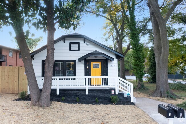
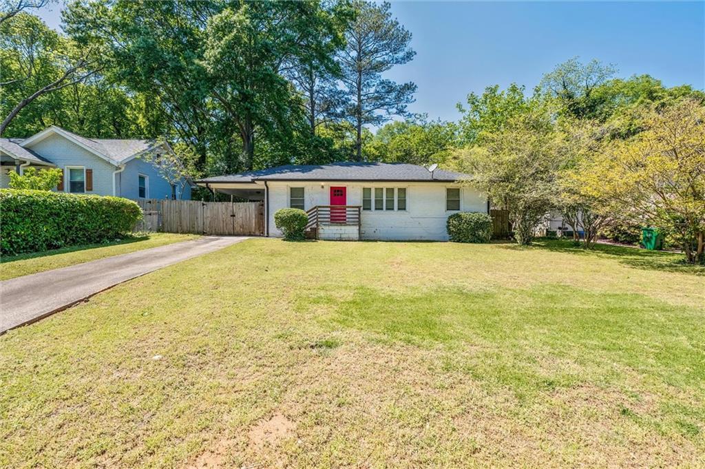
2035 Miriam Ln
Decatur, GA 30032
Today
Favorites
404-514-7054
-
Bedrooms
3
-
Bathrooms
1
-
Square Feet
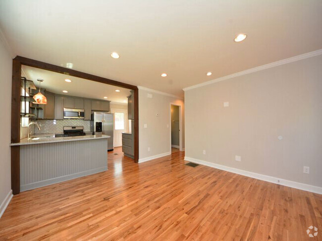
1,176 sq ft
-
Available
Available Now
Highlight
- Pets Allowed
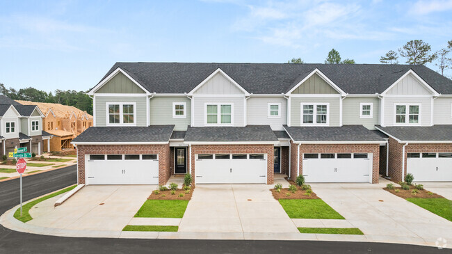
2035 Miriam Ln

Favorites
2035 Miriam Ln is a house located in DeKalb County and the 30032 ZIP Code. This area is served by the DeKalb County attendance zone.
* Price shown is base rent and may not include non-optional fees and utilities.
Price, availability, fees, and any applicable rent special are subject to change without notice.
* Square footage definitions vary. Displayed square footage is approximate.
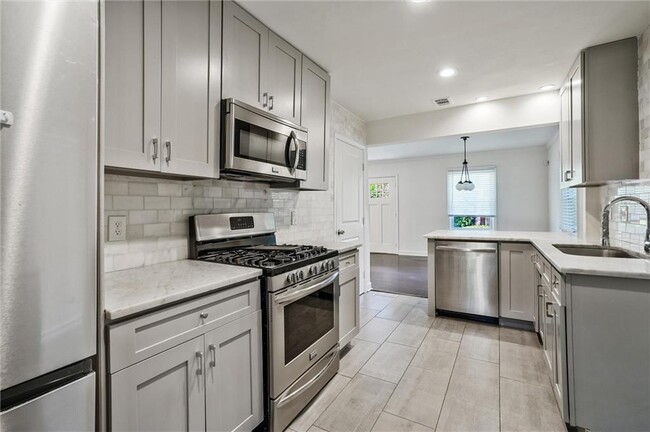
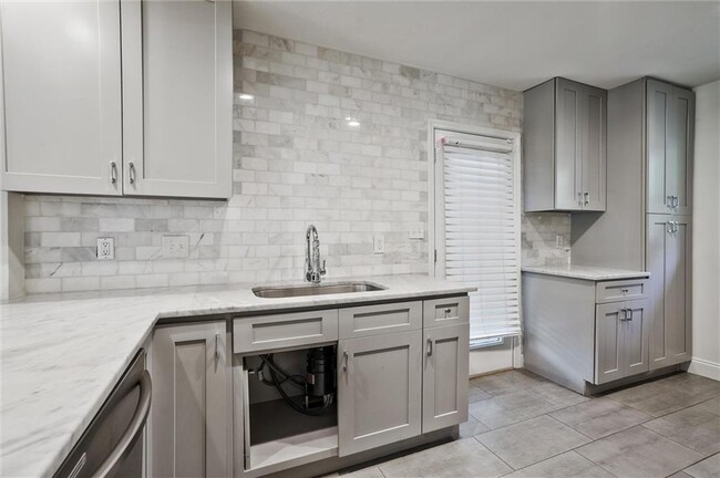
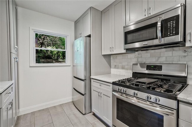
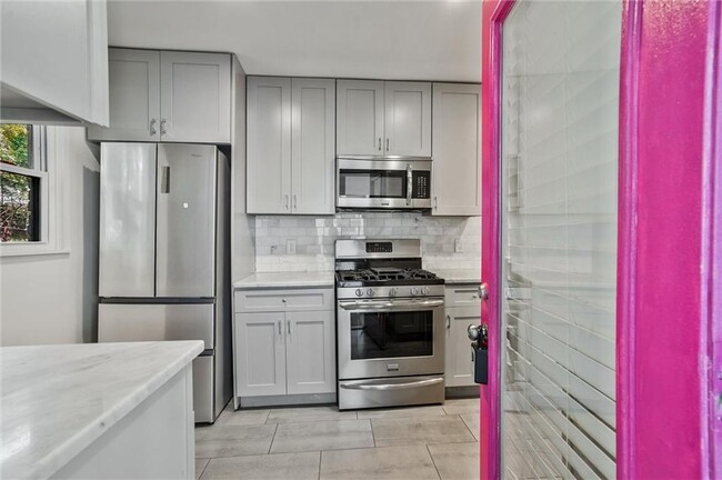
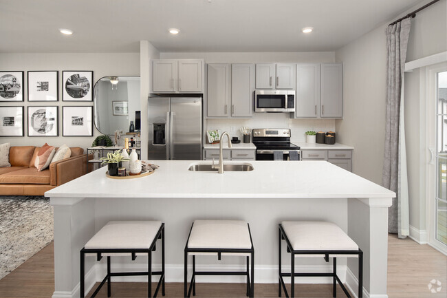
House Features
Dishwasher
Microwave
Refrigerator
Disposal
- Dishwasher
- Disposal
- Microwave
- Range
- Refrigerator
Fees and Policies
The fees below are based on community-supplied data and may exclude additional fees and utilities.
- Dogs Allowed
-
Fees not specified
- Cats Allowed
-
Fees not specified
Contact
- Listed by NATHALIE APTEKER | HomeSmart
- Phone Number
- Contact
-
Source
 First Multiple Listing Service, Inc.
Copyright © 2025 First Multiple Listing Service, Inc. All rights reserved. All information provided by the listing agent/broker is deemed reliable but is not guaranteed and should be independently verified.
Location
Get Directions
Amenities
- Dishwasher
- Disposal
- Microwave
- Range
- Refrigerator
Situated between East Atlanta Village and I-285, Candler-McAfee is a laidback suburban community with a small-town feel. Residents enjoy access to a broad range of shops and restaurants stretched along Candler Road, the community’s main commercial thoroughfare.
Candler-McAfee is mostly residential, offering an overall peaceful atmosphere in addition to numerous apartments and houses available for rent along tree-lined streets. While the whole community touts a park-like environment, Candler-McAfee is home to several scenic parks like Glendale Park, NH Scott Park, and Misty Waters Park. Quick access to both I-20 and I-285 affords many Candler-McAfee residents short commute times to countless area employers and attractions.
Learn more about living in Candler-McAfee
Education
| Colleges & Universities | Distance | ||
|---|---|---|---|
| Colleges & Universities | Distance | ||
| Drive: | 7 min | 3.2 mi | |
| Drive: | 9 min | 3.6 mi | |
| Drive: | 12 min | 5.8 mi | |
| Drive: | 15 min | 7.2 mi |
2035 Miriam Ln is within 7 minutes or 3.2 miles from Agnes Scott College. It is also near Georgia Perim. Coll., Decatur and Emory University, Clairmont.
Schools


Public Elementary School
Grades PK-5
262 Students
Attendance Zone
Public Middle School
Grades 6-8
604 Students
Attendance Zone
Public High School
Grades 9-12
898 Students
Attendance Zone
Private Elementary & Middle School
Grades PK-8
128 Students
Nearby
Private Elementary, Middle & High School
Grades 3-12
Nearby
School data provided by
 The GreatSchools Rating helps parents compare schools within a state based on a variety of school quality indicators and provides a helpful picture of how effectively each school serves all of its students. Ratings are on a scale of 1 (below average) to 10 (above average) and can include test scores, college readiness, academic progress, advanced courses, equity, discipline and attendance data. We also advise parents to visit schools, consider other information on school performance and programs, and consider family needs as part of the school selection process.
View GreatSchools Rating Methodology
View GreatSchools Rating Methodology
Transportation options available in Decatur include Decatur, located 4.1 miles from 2035 Miriam Ln. 2035 Miriam Ln is near Hartsfield - Jackson Atlanta International, located 14.1 miles or 24 minutes away.
| Transit / Subway | Distance | ||
|---|---|---|---|
| Transit / Subway | Distance | ||
|
|
Drive: | 8 min | 4.1 mi |
|
|
Drive: | 9 min | 4.4 mi |
|
|
Drive: | 9 min | 4.6 mi |
|
|
Drive: | 10 min | 5.0 mi |
|
|
Drive: | 11 min | 5.5 mi |
| Commuter Rail | Distance | ||
|---|---|---|---|
| Commuter Rail | Distance | ||
|
|
Drive: | 19 min | 11.3 mi |
| Airports | Distance | ||
|---|---|---|---|
| Airports | Distance | ||
|
Hartsfield - Jackson Atlanta International
|
Drive: | 24 min | 14.1 mi |
Time and distance from 2035 Miriam Ln.
| Shopping Centers | Distance | ||
|---|---|---|---|
| Shopping Centers | Distance | ||
| Walk: | 8 min | 0.5 mi | |
| Walk: | 9 min | 0.5 mi | |
| Drive: | 2 min | 1.2 mi |
2035 Miriam Ln has 3 shopping centers within 1.2 miles, which is about a 2-minute walk. The miles and minutes will be for the farthest away property.
| Parks and Recreation | Distance | ||
|---|---|---|---|
| Parks and Recreation | Distance | ||
|
Wylde Center and Oakhurst Community Garden
|
Drive: | 6 min | 2.9 mi |
|
Ferns of the World Garden
|
Drive: | 8 min | 3.3 mi |
|
Bradley Observatory
|
Drive: | 6 min | 3.5 mi |
|
South River Watershed Alliance
|
Drive: | 9 min | 4.2 mi |
|
Glenn Creek Nature Preserve
|
Drive: | 10 min | 4.9 mi |
2035 Miriam Ln has 5 parks within 4.9 miles, including Wylde Center and Oakhurst Community Garden, Ferns of the World Garden, and Bradley Observatory.
| Hospitals | Distance | ||
|---|---|---|---|
| Hospitals | Distance | ||
| Drive: | 7 min | 3.0 mi | |
| Drive: | 10 min | 5.2 mi | |
| Drive: | 12 min | 6.2 mi |
2035 Miriam Ln has 3 hospitals within 6.2 miles, the nearest is Georgia Regional Hospital Atlanta which is 3.0 miles away and a 7 minute drive.
| Military Bases | Distance | ||
|---|---|---|---|
| Military Bases | Distance | ||
| Drive: | 20 min | 11.6 mi | |
| Drive: | 21 min | 11.8 mi |
2035 Miriam Ln is 11.6 miles from Fort McPherson, and is convenient to other military bases, including Fort Gillem.
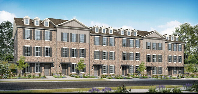
You May Also Like
Similar Rentals Nearby
-
-
-
-
-
-
-
-
1 / 28
-
-
What Are Walk Score®, Transit Score®, and Bike Score® Ratings?
Walk Score® measures the walkability of any address. Transit Score® measures access to public transit. Bike Score® measures the bikeability of any address.
What is a Sound Score Rating?
A Sound Score Rating aggregates noise caused by vehicle traffic, airplane traffic and local sources
2035 Miriam Ln
Decatur, GA 30032