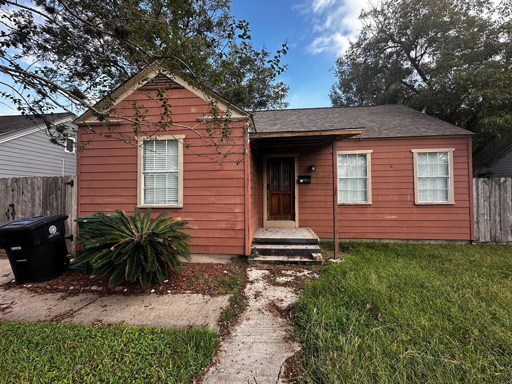
2035 Palo Alto St
Houston, TX 77023
-
Bedrooms
3
-
Bathrooms
1
-
Square Feet
--
-
Available
Available Now
Highlights
- Living Room
- Central Heating and Cooling System
- Dining Room
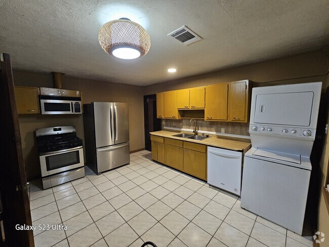
- Utility Room
- 1-Story Property

About This Home
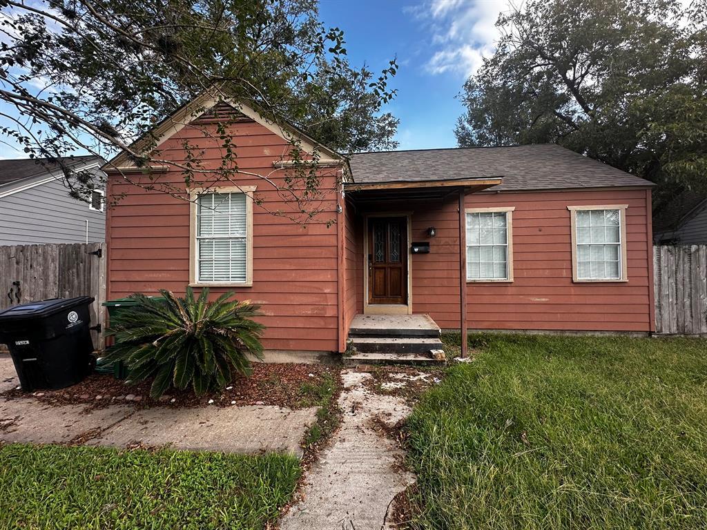
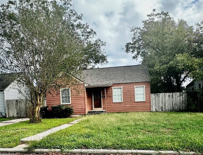
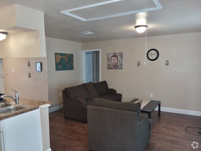
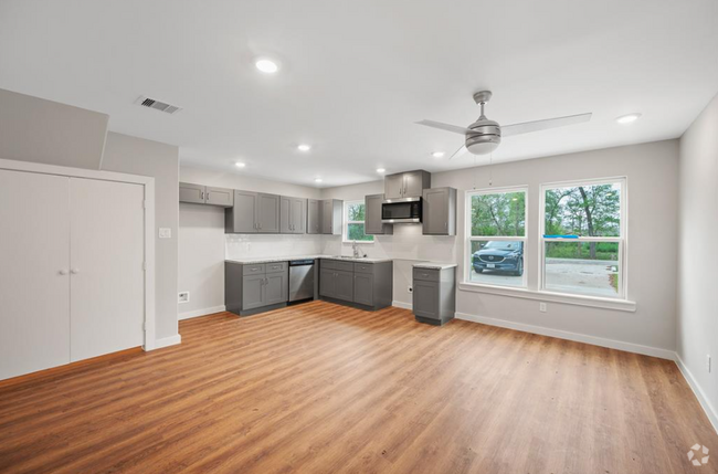
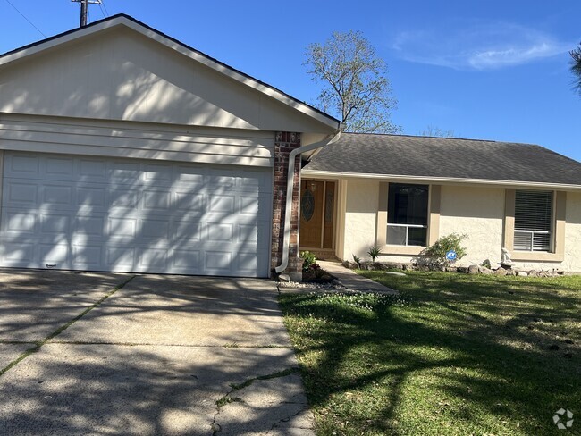
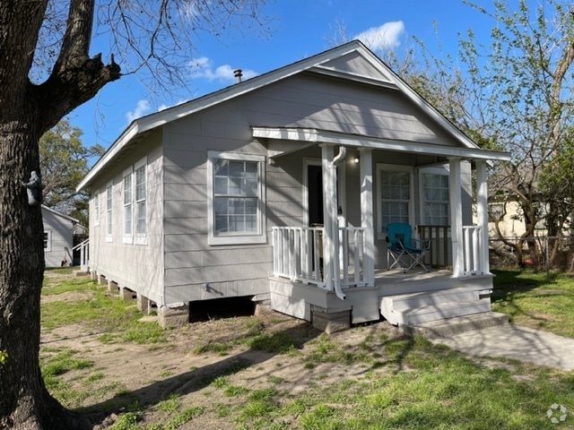
Welcome to your new rental in Houston, TX. This well-maintained single-family home is located in Houston, TX at 2035 Palo Alto St, where you'll have easy access to a variety of destinations. Stop searching and find your new home. Let us assist you! Contact us now to schedule a tour!
2035 Palo Alto St is a house located in Harris County and the 77023 ZIP Code. This area is served by the Houston Independent attendance zone.
Home Details
Home Type
Year Built
Bedrooms and Bathrooms
Interior Spaces
Listing and Financial Details
Lot Details
Schools
Utilities
Community Details
Overview
Pet Policy
Fees and Policies
Details
Lease Options
-
12 Months
Contact
- Listed by Daniela Hernandez | Framework Properties
- Phone Number
- Contact
-
Source
 Houston Association of REALTORS®
- Smoke Free
Situated on the east side of the University of Houston, the Lawndale-Wayside neighborhood began as the home of a prestigious country club, the Wortham Golf Center. Built in 1908, this golf course was once the premier golfing destination for Houston's elite; today, this 18-hole golf course is being restored by Wortham Park Friends, a group organized to protect and maintain the course, which is the oldest 18-hole golf course in Texas.
The Lawndale-Wayside neighborhood is part of Houston's East End district and is defined by its 1900s-style bungalows and wooded areas. Mason Park and the Buffalo Bayou also add to the natural beauty of the neighborhood, which is deceptively close to downtown Houston – only about 13 miles. It is even closer to Minute Maid Park, the Toyota Center, and the BBVA Compass Stadium.
Learn more about living in Lawndale-Wayside| Colleges & Universities | Distance | ||
|---|---|---|---|
| Colleges & Universities | Distance | ||
| Drive: | 8 min | 3.9 mi | |
| Drive: | 9 min | 5.0 mi | |
| Drive: | 12 min | 6.0 mi | |
| Drive: | 13 min | 7.0 mi |
 The GreatSchools Rating helps parents compare schools within a state based on a variety of school quality indicators and provides a helpful picture of how effectively each school serves all of its students. Ratings are on a scale of 1 (below average) to 10 (above average) and can include test scores, college readiness, academic progress, advanced courses, equity, discipline and attendance data. We also advise parents to visit schools, consider other information on school performance and programs, and consider family needs as part of the school selection process.
View GreatSchools Rating Methodology
Transportation options available in Houston include Magnolia Park Transit Center Eb, located 1.5 miles from 2035 Palo Alto St. 2035 Palo Alto St is near William P Hobby, located 7.4 miles or 17 minutes away, and George Bush Intcntl/Houston, located 23.4 miles or 34 minutes away.
| Transit / Subway | Distance | ||
|---|---|---|---|
| Transit / Subway | Distance | ||
| Drive: | 4 min | 1.5 mi | |
| Drive: | 4 min | 1.5 mi | |
| Drive: | 4 min | 1.8 mi | |
| Drive: | 4 min | 2.2 mi | |
| Drive: | 5 min | 2.8 mi |
| Commuter Rail | Distance | ||
|---|---|---|---|
| Commuter Rail | Distance | ||
|
|
Drive: | 12 min | 7.3 mi |
| Airports | Distance | ||
|---|---|---|---|
| Airports | Distance | ||
|
William P Hobby
|
Drive: | 17 min | 7.4 mi |
|
George Bush Intcntl/Houston
|
Drive: | 34 min | 23.4 mi |
Time and distance from 2035 Palo Alto St.
| Shopping Centers | Distance | ||
|---|---|---|---|
| Shopping Centers | Distance | ||
| Walk: | 7 min | 0.4 mi | |
| Walk: | 9 min | 0.5 mi | |
| Walk: | 13 min | 0.7 mi |
| Parks and Recreation | Distance | ||
|---|---|---|---|
| Parks and Recreation | Distance | ||
|
Sims Bayou Urban Nature Center
|
Drive: | 7 min | 3.6 mi |
|
Discovery Green
|
Drive: | 10 min | 5.0 mi |
|
Children's Museum of Houston
|
Drive: | 12 min | 7.1 mi |
|
Hermann Park
|
Drive: | 13 min | 7.2 mi |
|
Cockrell Butterfly Center
|
Drive: | 14 min | 7.6 mi |
| Hospitals | Distance | ||
|---|---|---|---|
| Hospitals | Distance | ||
| Drive: | 9 min | 5.3 mi | |
| Drive: | 11 min | 6.2 mi | |
| Drive: | 13 min | 7.4 mi |
| Military Bases | Distance | ||
|---|---|---|---|
| Military Bases | Distance | ||
| Drive: | 31 min | 20.9 mi | |
| Drive: | 60 min | 46.5 mi |
You May Also Like
Similar Rentals Nearby
What Are Walk Score®, Transit Score®, and Bike Score® Ratings?
Walk Score® measures the walkability of any address. Transit Score® measures access to public transit. Bike Score® measures the bikeability of any address.
What is a Sound Score Rating?
A Sound Score Rating aggregates noise caused by vehicle traffic, airplane traffic and local sources
