
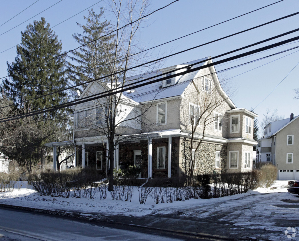
205-207 Babbitt Rd
205-207 Babbitt Rd,
Bedford Hills,
NY
10507
2 Weeks Ago
Favorites
205-207 Babbitt Rd
Favorites
Check Back Soon for Upcoming Availability
| Beds | Baths | Average SF | Availability |
|---|---|---|---|
| 1 Bedroom 1 Bedroom 1 Br | 1 Bath 1 Bath 1 Ba | — | Not Available |
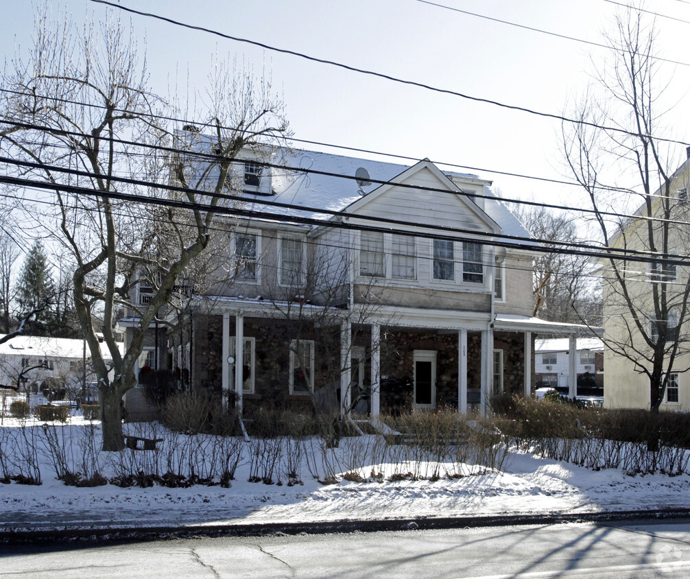
About 205-207 Babbitt Rd Bedford Hills, NY 10507
At 205-207 Babbitt Rd in Bedford Hills, experience great living. These apartments are located in the 10507 area of Bedford Hills. The leasing team is waiting to show you all that this community has in store. Come for a visit to see the available floorplan options. Visit 205-207 Babbitt Rd today.
205-207 Babbitt Rd is an apartment community located in Westchester County and the 10507 ZIP Code. This area is served by the Bedford Central attendance zone.
Fees and Policies
Details
Property Information
-
6 units/3 stories
Property Address:
205-207 Babbitt Rd,
Bedford Hills,
NY
10507
 This Property
 Available Property
Education
| Colleges & Universities | Distance | ||
|---|---|---|---|
| Colleges & Universities | Distance | ||
| Drive: | 15 min | 11.3 mi | |
| Drive: | 19 min | 13.2 mi | |
| Drive: | 21 min | 15.2 mi | |
| Drive: | 25 min | 16.9 mi |
205-207 Babbitt Rd is within 15 minutes or 11.3 miles from Pace University, Pleasantville. It is also near Pace University, Briarcliff and New York Medical College.
Schools
Public Elementary School
Grades K-5
243 Students
Nearby
9
Out of 10
Public Elementary School
Grades PK-5
521 Students
Nearby
4
Out of 10
Public Elementary School
Grades PK-5
282 Students
Attendance Zone
7
Out of 10
Public Middle School
Grades 6-8
765 Students
Attendance Zone
5
Out of 10
Public High School
Grades 9-12
1,241 Students
Attendance Zone
7
Out of 10
Private Elementary & Middle School
Grades PK-9
250 Students
Nearby
Private Middle & High School
Grades 6-12
354 Students
Nearby
Private Middle & High School
Grades 7-12
Nearby
School data provided by
GreatSchools
The GreatSchools Rating helps parents compare schools within a state based on a variety of school quality indicators and provides a helpful picture of how effectively each school serves all of its students. Ratings are on a scale of 1 (below average) to 10 (above average) and can include test scores, college readiness, academic progress, advanced courses, equity, discipline and attendance data. We also advise parents to visit schools, consider other information on school performance and programs, and consider family needs as part of the school selection process.
Transportation options available in Bedford Hills include Wakefield-241 Street, located 30.4 miles from 205-207 Babbitt Rd. 205-207 Babbitt Rd is near Westchester County, located 16.9 miles or 24 minutes away, and New York Stewart International, located 40.8 miles or 65 minutes away.
| Transit / Subway | Distance | ||
|---|---|---|---|
| Transit / Subway | Distance | ||
|
|
Drive: | 39 min | 30.4 mi |
|
|
Drive: | 40 min | 30.8 mi |
|
|
Drive: | 43 min | 30.8 mi |
|
|
Drive: | 40 min | 31.3 mi |
|
|
Drive: | 41 min | 31.8 mi |
| Commuter Rail | Distance | ||
|---|---|---|---|
| Commuter Rail | Distance | ||
|
|
Walk: | 19 min | 1.0 mi |
|
|
Drive: | 3 min | 1.8 mi |
|
|
Drive: | 7 min | 3.5 mi |
|
|
Drive: | 8 min | 4.7 mi |
|
|
Drive: | 11 min | 7.2 mi |
| Airports | Distance | ||
|---|---|---|---|
| Airports | Distance | ||
|
Westchester County
|
Drive: | 24 min | 16.9 mi |
|
New York Stewart International
|
Drive: | 65 min | 40.8 mi |
Time and distance from 205-207 Babbitt Rd.
| Shopping Centers | Distance | ||
|---|---|---|---|
| Shopping Centers | Distance | ||
| Walk: | 14 min | 0.7 mi | |
| Drive: | 3 min | 1.4 mi | |
| Drive: | 3 min | 1.5 mi |
205-207 Babbitt Rd has 3 shopping centers within 1.5 miles, which is about a 3-minute drive. The miles and minutes will be for the farthest away property.
| Parks and Recreation | Distance | ||
|---|---|---|---|
| Parks and Recreation | Distance | ||
|
John Jay Homestead State Historic Site
|
Drive: | 7 min | 2.0 mi |
|
Muscoot Farm
|
Drive: | 7 min | 4.6 mi |
|
Lasdon Park and Arboretum
|
Drive: | 10 min | 5.7 mi |
|
Trailside Nature Museum
|
Drive: | 9 min | 5.9 mi |
|
Hilltop Hanover Farm
|
Drive: | 15 min | 9.0 mi |
205-207 Babbitt Rd has 5 parks within 9.0 miles, including John Jay Homestead State Historic Site, Muscoot Farm, and Trailside Nature Museum.
| Hospitals | Distance | ||
|---|---|---|---|
| Hospitals | Distance | ||
| Drive: | 7 min | 4.0 mi |
205-207 Babbitt Rd is 4.0 miles and a 7 minutes drive from Northern Westchester Hospital.
| Military Bases | Distance | ||
|---|---|---|---|
| Military Bases | Distance | ||
| Drive: | 28 min | 19.2 mi | |
| Drive: | 50 min | 29.8 mi |
205-207 Babbitt Rd is 19.2 miles from Camp Smith NY State Military, and is convenient to other military bases, including West Point Military Reserve.
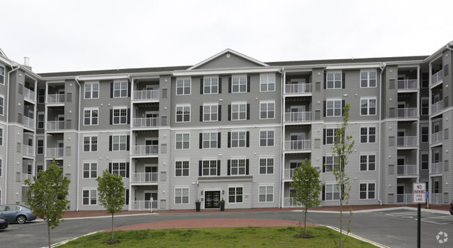
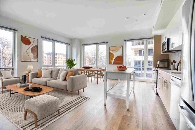
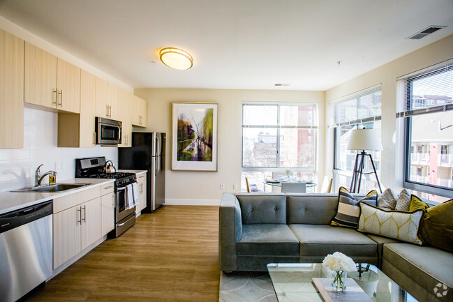
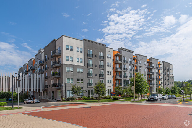
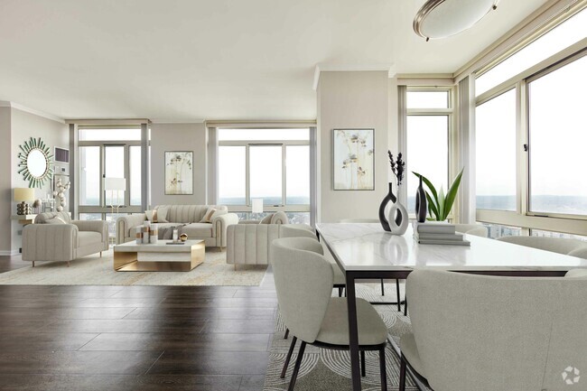
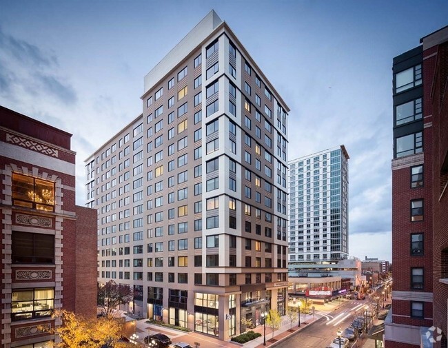
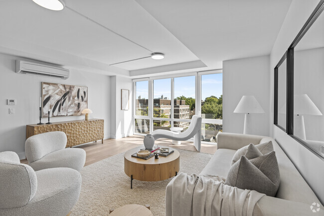
You May Also Like
Similar Rentals Nearby


What Are Walk Score®, Transit Score®, and Bike Score® Ratings?
Walk Score® measures the walkability of any address. Transit Score® measures access to public transit. Bike Score® measures the bikeability of any address.
What is a Sound Score Rating?
A Sound Score Rating aggregates noise caused by vehicle traffic, airplane traffic and local sources
205-207 Babbitt Rd
Bedford Hills, NY 10507
Responded To This Review