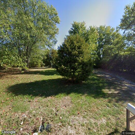
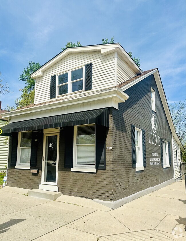
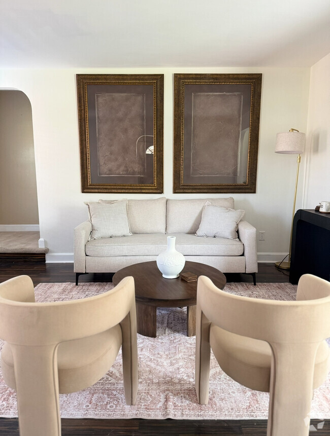
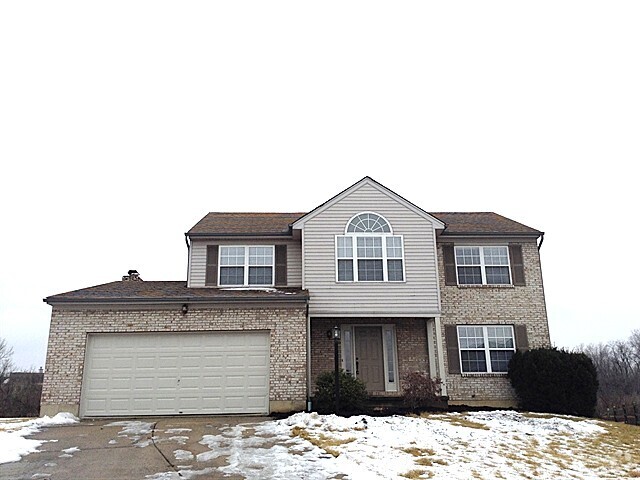
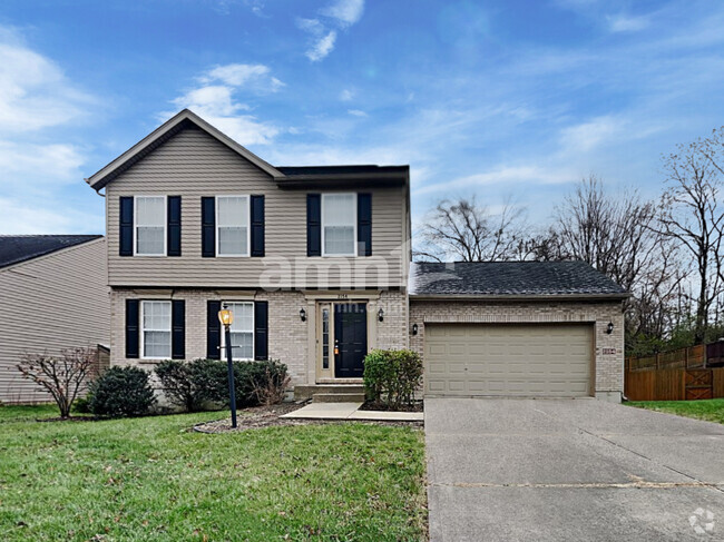
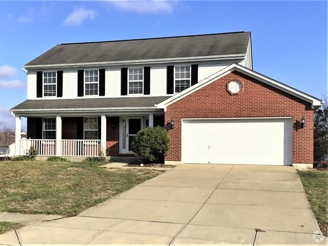
20856 Mount Pleasant Rd
20856 Mount Pleasant Rd
Lawrenceburg, IN 47025
2 Weeks Ago
Favorites
20856 Mount Pleasant Rd

Favorites
Check Back Soon for Upcoming Availability
Location
Get Directions
On the Indiana-Kentucky state line lies the close-knit community of Lawrenceburg, Indiana. This waterfront oasis sits on the Ohio River, offering its residents an array of amenities. A family-friendly vibe exudes from Lawrenceburg with its great schools, numerous churches, and happening community events, such as summer concerts on the river.
Friendly neighbors and delicious local restaurants are the norm in Lawrenceburg. Check out Acapulco, an authentic Mexican restaurant, Whisky’s, a casual American Eatery, or Strong’s Brick Oven Pizzeria, a family-owned pizza shop. If riverfront views are on your mind, grab a table at RiverWatch, a lively restaurant on a floating pier serving up seafood and burgers with a full bar and live music.
Learn more about living in Lawrenceburg
Education
| Colleges & Universities | Distance | ||
|---|---|---|---|
| Colleges & Universities | Distance | ||
| Drive: | 36 min | 21.3 mi | |
| Drive: | 33 min | 23.7 mi | |
| Drive: | 44 min | 30.1 mi | |
| Drive: | 44 min | 31.4 mi |
20856 Mount Pleasant Rd is within 36 minutes or 21.3 miles from College of Mount St. Joseph. It is also near Thomas More College and Cincinnati State.
Transportation options available in Lawrenceburg include 14Th & Elm Station, located 29.6 miles from 20856 Mount Pleasant Rd. 20856 Mount Pleasant Rd is near Cincinnati/Northern Kentucky International, located 22.2 miles or 38 minutes away.
| Transit / Subway | Distance | ||
|---|---|---|---|
| Transit / Subway | Distance | ||
| Drive: | 43 min | 29.6 mi | |
| Drive: | 44 min | 29.8 mi | |
| Drive: | 44 min | 29.9 mi | |
| Drive: | 44 min | 32.2 mi | |
| Drive: | 45 min | 32.2 mi |
| Commuter Rail | Distance | ||
|---|---|---|---|
| Commuter Rail | Distance | ||
|
|
Drive: | 44 min | 30.2 mi |
|
|
Drive: | 70 min | 40.8 mi |
| Airports | Distance | ||
|---|---|---|---|
| Airports | Distance | ||
|
Cincinnati/Northern Kentucky International
|
Drive: | 38 min | 22.2 mi |
Time and distance from 20856 Mount Pleasant Rd.
| Shopping Centers | Distance | ||
|---|---|---|---|
| Shopping Centers | Distance | ||
| Drive: | 13 min | 7.6 mi | |
| Drive: | 14 min | 7.8 mi | |
| Drive: | 15 min | 8.7 mi |
20856 Mount Pleasant Rd has 3 shopping centers within 8.7 miles, which is about a 15-minute drive. The miles and minutes will be for the farthest away property.
| Parks and Recreation | Distance | ||
|---|---|---|---|
| Parks and Recreation | Distance | ||
|
Perfect North Slopes
|
Drive: | 7 min | 2.3 mi |
|
Shawnee Lookout
|
Drive: | 17 min | 9.8 mi |
|
Campbell Lakes Preserve
|
Drive: | 23 min | 11.4 mi |
20856 Mount Pleasant Rd has 3 parks within 11.4 miles, including Perfect North Slopes, Shawnee Lookout, and Campbell Lakes Preserve.
| Hospitals | Distance | ||
|---|---|---|---|
| Hospitals | Distance | ||
| Drive: | 11 min | 5.4 mi | |
| Drive: | 11 min | 5.6 mi |
20856 Mount Pleasant Rd is 5.4 miles from Dearborn County Hospital, and is convenient to other hospitals, including Community Mental Health Center.
| Military Bases | Distance | ||
|---|---|---|---|
| Military Bases | Distance | ||
| Drive: | 94 min | 73.1 mi | |
| Drive: | 100 min | 78.2 mi | |
| Drive: | 102 min | 81.5 mi |
20856 Mount Pleasant Rd has 3 military bases within 81.5 miles, the nearest is Gentile Air Force Station which is 73.1 miles away and a 94 minute drive.
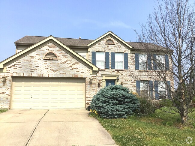
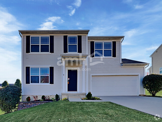
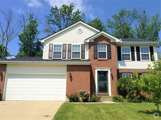
You May Also Like
Similar Rentals Nearby
What Are Walk Score®, Transit Score®, and Bike Score® Ratings?
Walk Score® measures the walkability of any address. Transit Score® measures access to public transit. Bike Score® measures the bikeability of any address.
What is a Sound Score Rating?
A Sound Score Rating aggregates noise caused by vehicle traffic, airplane traffic and local sources