
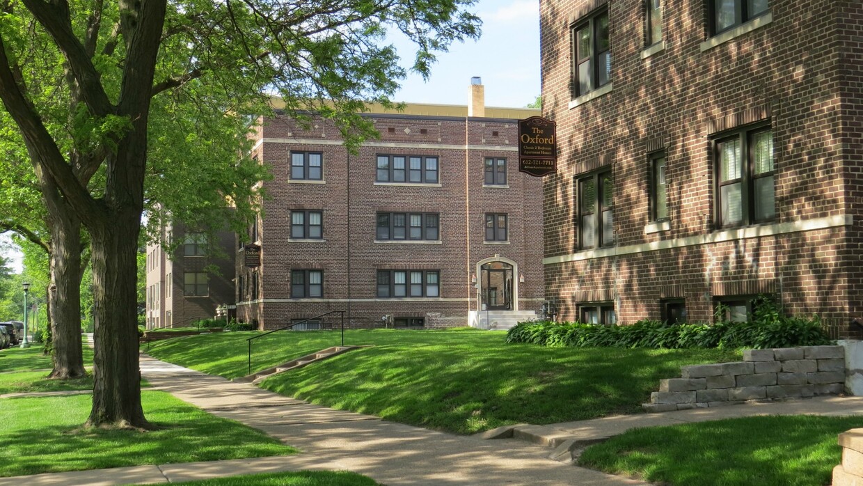
210 Otis Ave Unit 3
Saint Paul, MN 55104
Favorites

210 Otis Ave Unit 3
Favorites
Check Back Soon for Upcoming Availability
| Beds | Baths | Average SF |
|---|---|---|
| 3 Bedrooms 3 Bedrooms 3 Br | 1 Bath 1 Bath 1 Ba | 1,250 SF |
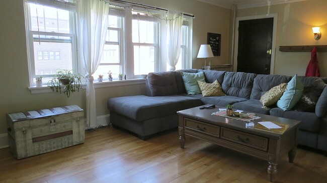
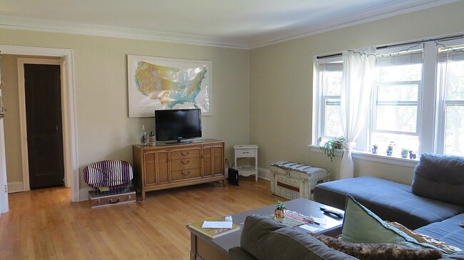
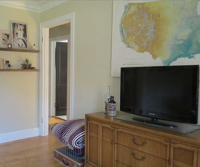
About This Property
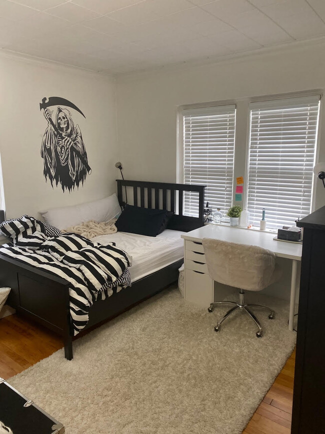
This is a great middle-floor apartment with windows on 3 sides, quiet neighbors, and is just 1 block away from the Mississippi River! The apartment has a huge living room, 2 normal-sized bedrooms, 1 larger bedroom with French doors, and a good-sized kitchen that is updated and comes with a dishwasher. We would love to show you the apartment, just reach out and we will find a time to give you an in person tour. The Owner pays for water, trash, and recycling. The resident pays for cooking gas, electricity, and internet, plus an additional $50 a month to the Owner for heat. There is a $15 per month per occupant laundry fee.
210 Otis Ave is an apartment community located in Ramsey County and the 55104 ZIP Code.
Apartment Features
- Smoke Free
- Dishwasher
- Kitchen
- Laundry Facilities
- Recycling
Fees and Policies
The fees below are based on community-supplied data and may exclude additional fees and utilities.
- Cats Allowed
-
Fees not specified
-
Weight limit--
-
Pet Limit--
- Parking
-
Garage--
Details
Utilities Included
-
Water
-
Heat
-
Trash Removal
-
Sewer
Property Information
-
20 units
Property Address:
210 Otis Ave,
Saint Paul,
MN
55104
 This Property
 Available Property
Along the shore of the Mississippi River, Merriam Park West offers riverfront parks, a large golf course, and quaint local restaurants just minutes from downtown Saint Paul, Minnesota. Stop on in at Izzy’s Ice Cream Café, or grab a treat at Black Coffee and Waffle Bar. Local businesses thrive alongside riverfront community spaces like Shadow Falls Park, a picturesque nature preserve.
The University of Saint Thomas resides on the south end of town, and the neighborhood offers a blend of private and public schools, churches, and every day conveniences. Situated just five miles southeast of Minneapolis and seven miles northeast of the Minneapolis-Saint Paul International Airport, this neighborhood is in a premier location for commuting, shopping, dining, and entertainment.
Learn more about living in Merriam Park WestBelow are rent ranges for similar nearby apartments
| Beds | Average Size | Lowest | Typical | Premium |
|---|---|---|---|---|
| Studio Studio Studio | 409 Sq Ft | $640 | $878 | $1,095 |
| 1 Bed 1 Bed 1 Bed | 646-652 Sq Ft | $789 | $1,187 | $1,499 |
| 2 Beds 2 Beds 2 Beds | 874-877 Sq Ft | $745 | $1,689 | $2,425 |
| 3 Beds 3 Beds 3 Beds | 1337 Sq Ft | $715 | $2,029 | $3,300 |
| 4 Beds 4 Beds 4 Beds | 1692-1706 Sq Ft | $875 | $3,095 | $6,000 |
Amenities
- Smoke Free
- Dishwasher
- Kitchen
- Laundry Facilities
- Recycling
Expenses
Utilities Included
Water, Heat, Trash Removal, Sewer
Included
Education
| Colleges & Universities | Distance | ||
|---|---|---|---|
| Colleges & Universities | Distance | ||
| Walk: | 10 min | 0.6 mi | |
| Drive: | 4 min | 2.1 mi | |
| Drive: | 4 min | 2.3 mi | |
| Drive: | 7 min | 2.4 mi |
210 Otis Ave Unit 3 is within 10 minutes or 0.6 mile from Univ. of St Thomas, St. Paul. It is also near Macalester College and Concordia Univ.-Saint Paul.
Transportation options available in Saint Paul include Raymond Ave Station, located 1.5 miles from 210 Otis Ave Unit 3. 210 Otis Ave Unit 3 is near Minneapolis-St Paul International/Wold-Chamberlain, located 7.2 miles or 16 minutes away.
| Transit / Subway | Distance | ||
|---|---|---|---|
| Transit / Subway | Distance | ||
| Drive: | 4 min | 1.5 mi | |
| Drive: | 3 min | 1.7 mi | |
| Drive: | 5 min | 2.1 mi | |
| Drive: | 4 min | 2.1 mi | |
|
|
Drive: | 8 min | 2.6 mi |
| Commuter Rail | Distance | ||
|---|---|---|---|
| Commuter Rail | Distance | ||
|
|
Drive: | 13 min | 6.1 mi |
|
|
Drive: | 11 min | 6.2 mi |
|
|
Drive: | 22 min | 14.7 mi |
|
|
Drive: | 31 min | 23.5 mi |
|
|
Drive: | 33 min | 25.2 mi |
| Airports | Distance | ||
|---|---|---|---|
| Airports | Distance | ||
|
Minneapolis-St Paul International/Wold-Chamberlain
|
Drive: | 16 min | 7.2 mi |
Time and distance from 210 Otis Ave Unit 3.
| Shopping Centers | Distance | ||
|---|---|---|---|
| Shopping Centers | Distance | ||
| Drive: | 4 min | 2.3 mi | |
| Drive: | 5 min | 2.4 mi | |
| Drive: | 6 min | 2.9 mi |
210 Otis Ave Unit 3 has 3 shopping centers within 2.9 miles, which is about a 6-minute drive. The miles and minutes will be for the farthest away property.
| Parks and Recreation | Distance | ||
|---|---|---|---|
| Parks and Recreation | Distance | ||
|
Brackett Park
|
Drive: | 4 min | 1.3 mi |
|
Longfellow Park
|
Drive: | 4 min | 1.7 mi |
|
Macalester College Observatory
|
Drive: | 4 min | 2.3 mi |
|
Hiawatha School Park
|
Drive: | 7 min | 2.3 mi |
|
Tower Hill Park
|
Drive: | 6 min | 2.5 mi |
210 Otis Ave Unit 3 has 5 parks within 2.5 miles, including Brackett Park, Longfellow Park, and Tower Hill Park.
| Hospitals | Distance | ||
|---|---|---|---|
| Hospitals | Distance | ||
| Drive: | 6 min | 3.5 mi | |
| Drive: | 9 min | 3.5 mi | |
| Drive: | 10 min | 3.6 mi |
210 Otis Ave Unit 3 has 3 hospitals within 3.6 miles, the nearest is University of Minnesota Medical Center, Fairview which is 3.5 miles away and a 6 minutes drive.
| Military Bases | Distance | ||
|---|---|---|---|
| Military Bases | Distance | ||
| Drive: | 14 min | 6.1 mi |
210 Otis Ave Unit 3 is 6.1 miles and a 14 minutes from Fort Snelling Military Reservation.
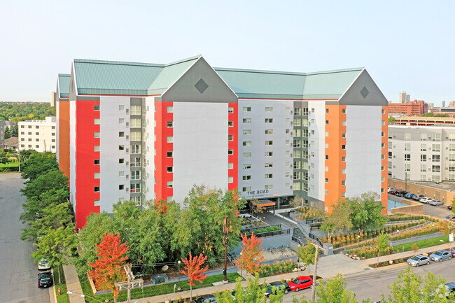
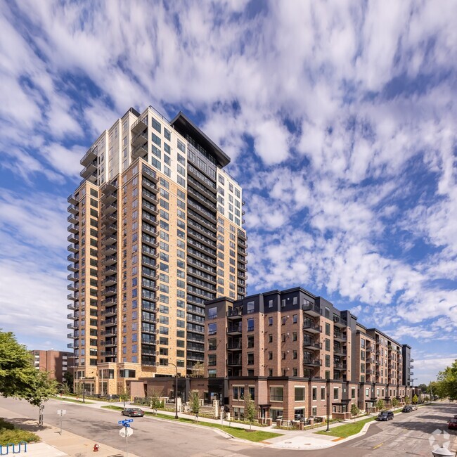
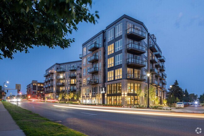
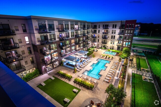
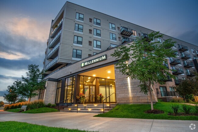
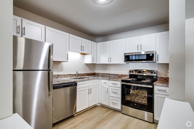
You May Also Like
Similar Rentals Nearby


What Are Walk Score®, Transit Score®, and Bike Score® Ratings?
Walk Score® measures the walkability of any address. Transit Score® measures access to public transit. Bike Score® measures the bikeability of any address.
What is a Sound Score Rating?
A Sound Score Rating aggregates noise caused by vehicle traffic, airplane traffic and local sources
210 Otis Ave
Saint Paul, MN 55104