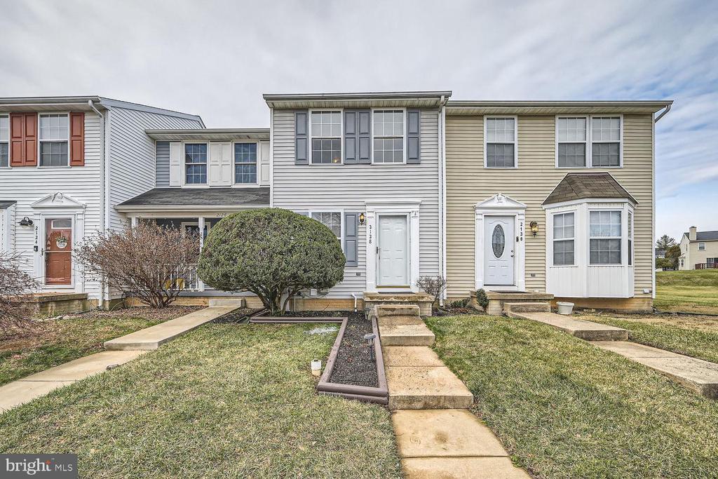
2128 Riding Crop Way
Woodlawn, MD 21244
-
Bedrooms
2
-
Bathrooms
2
-
Square Feet
--
-
Available
Available Now
Highlights
- Open Floorplan
- Colonial Architecture
- Community Indoor Pool
- Tennis Courts
- Party Room
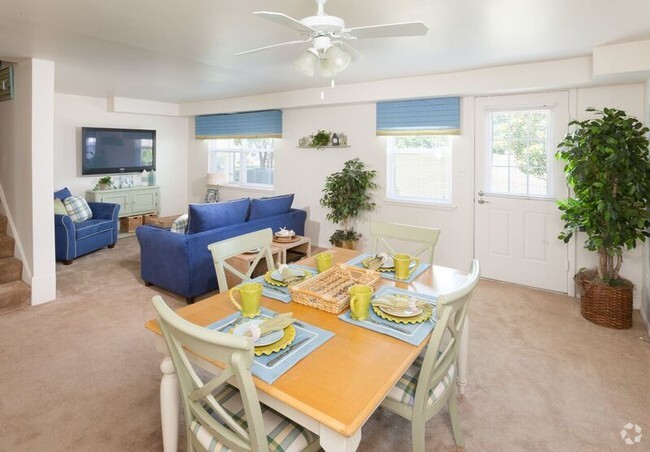
- Family Room Off Kitchen

About This Home
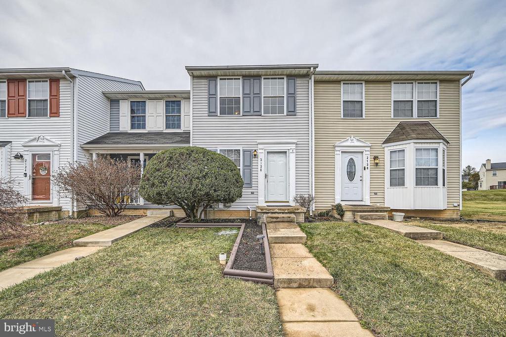
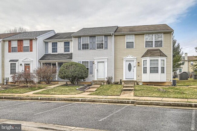
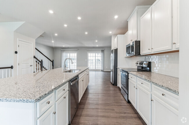
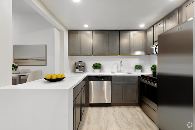
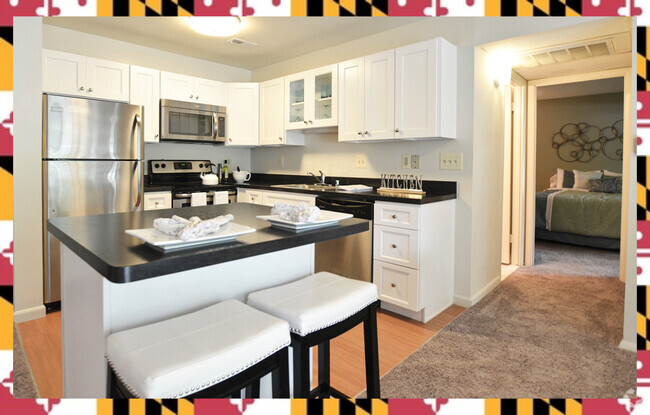
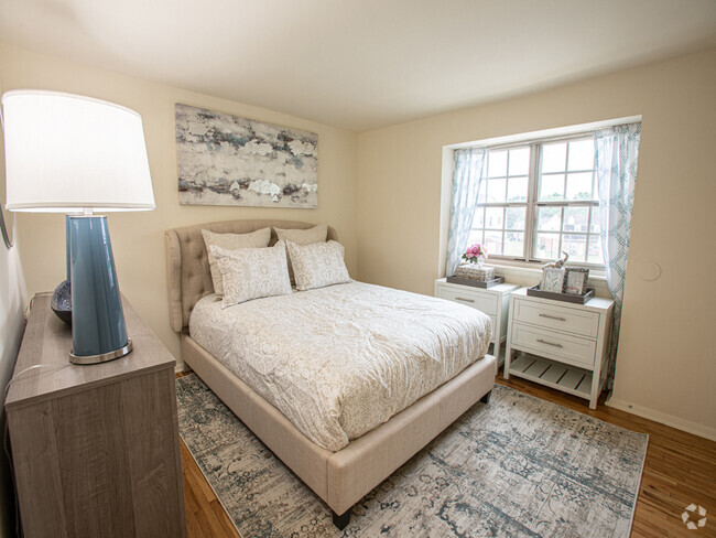
This newly updated 2 bedrooms, 2 baths townhome located in the beautiful neighborhood of Park View Trail is now ready for immediate occupancy. Access to the community club house with pool and tennis court when available. Home is minutes from Security Mall and other nearby shopping centers. Minutes from I-695: Baltimore Beltway and back road connects to U.S. Route 29. Minimum requirement 640 credit score, 3x rent in monthly income, no previous evictions or failure to pay filing. Clean credit/background history.
2128 Riding Crop Way is a townhome located in Baltimore County and the 21244 ZIP Code. This area is served by the Baltimore County Public Schools attendance zone.
Home Details
Home Type
Year Built
Bedrooms and Bathrooms
Finished Basement
Flooring
Home Design
Home Security
Interior Spaces
Kitchen
Laundry
Listing and Financial Details
Lot Details
Parking
Utilities
Community Details
Amenities
Overview
Pet Policy
Recreation
Contact
- Listed by Ade Adebayo | Keller Williams Realty Centre
- Phone Number (443) 402-4973
- Contact
-
Source
 Bright MLS, Inc.
- Dishwasher
- Basement
Located about five miles west of Baltimore, Woodlawn is a quiet suburb on the cusp of the vibrant Inner Harbor. Woodlawn offers residents a wide variety of shopping opportunities, with numerous shopping centers and plazas in town as well as Security Square Mall. Woodlawn is also just minutes away from Westview Mall.
Recreational opportunities abound in Woodlawn, with convenient access to Patapsco Valley State Park and the Patapsco River in addition to multiple golf courses like Forest Park Golf Course and the Woodlands Golf Course.
Woodlawn sits at the intersection of Interstates 70 and 695, providing easy access for commuters and travelers alike. Baltimore Washington International Thurgood Marshall Airport is just a short drive away from Woodlawn as well.
Learn more about living in Woodlawn| Colleges & Universities | Distance | ||
|---|---|---|---|
| Colleges & Universities | Distance | ||
| Drive: | 16 min | 7.5 mi | |
| Drive: | 21 min | 7.7 mi | |
| Drive: | 18 min | 8.0 mi | |
| Drive: | 22 min | 12.2 mi |
Transportation options available in Woodlawn include Old Court, located 6.7 miles from 2128 Riding Crop Way. 2128 Riding Crop Way is near Baltimore/Washington International Thurgood Marshall, located 13.5 miles or 25 minutes away, and Ronald Reagan Washington Ntl, located 40.1 miles or 65 minutes away.
| Transit / Subway | Distance | ||
|---|---|---|---|
| Transit / Subway | Distance | ||
| Drive: | 16 min | 6.7 mi | |
| Drive: | 18 min | 7.5 mi | |
| Drive: | 21 min | 7.8 mi | |
| Drive: | 18 min | 8.0 mi | |
| Drive: | 19 min | 8.8 mi |
| Commuter Rail | Distance | ||
|---|---|---|---|
| Commuter Rail | Distance | ||
|
|
Drive: | 16 min | 9.0 mi |
|
|
Drive: | 20 min | 9.1 mi |
|
|
Drive: | 20 min | 10.7 mi |
|
|
Drive: | 28 min | 11.8 mi |
|
|
Drive: | 24 min | 13.1 mi |
| Airports | Distance | ||
|---|---|---|---|
| Airports | Distance | ||
|
Baltimore/Washington International Thurgood Marshall
|
Drive: | 25 min | 13.5 mi |
|
Ronald Reagan Washington Ntl
|
Drive: | 65 min | 40.1 mi |
Time and distance from 2128 Riding Crop Way.
| Shopping Centers | Distance | ||
|---|---|---|---|
| Shopping Centers | Distance | ||
| Drive: | 5 min | 1.6 mi | |
| Drive: | 5 min | 1.8 mi | |
| Drive: | 5 min | 2.0 mi |
| Parks and Recreation | Distance | ||
|---|---|---|---|
| Parks and Recreation | Distance | ||
|
Carrie Murray Nature Center
|
Drive: | 13 min | 5.1 mi |
|
Gwynns Falls - Leakin Park
|
Drive: | 14 min | 5.2 mi |
|
Benjamin Banneker Historical Park and Museum
|
Drive: | 15 min | 5.6 mi |
|
Gwynns Falls Trail
|
Drive: | 16 min | 6.0 mi |
|
Banneker Planetarium
|
Drive: | 16 min | 7.4 mi |
| Hospitals | Distance | ||
|---|---|---|---|
| Hospitals | Distance | ||
| Drive: | 11 min | 4.2 mi | |
| Drive: | 12 min | 5.8 mi | |
| Drive: | 15 min | 6.0 mi |
| Military Bases | Distance | ||
|---|---|---|---|
| Military Bases | Distance | ||
| Drive: | 38 min | 21.9 mi |
You May Also Like
Similar Rentals Nearby
What Are Walk Score®, Transit Score®, and Bike Score® Ratings?
Walk Score® measures the walkability of any address. Transit Score® measures access to public transit. Bike Score® measures the bikeability of any address.
What is a Sound Score Rating?
A Sound Score Rating aggregates noise caused by vehicle traffic, airplane traffic and local sources
