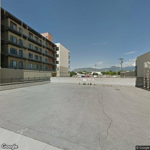
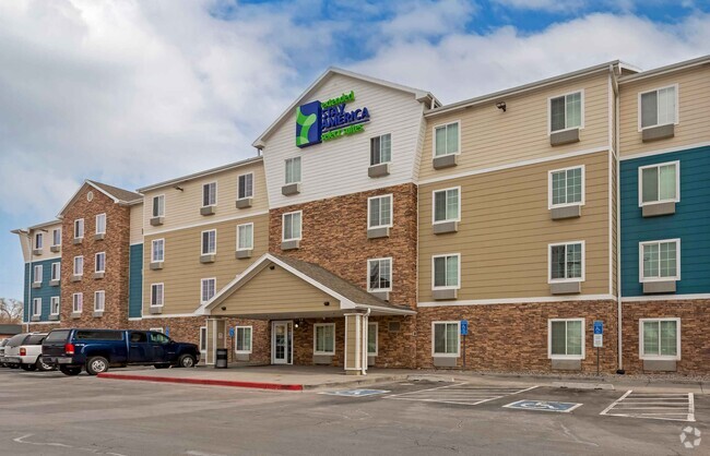
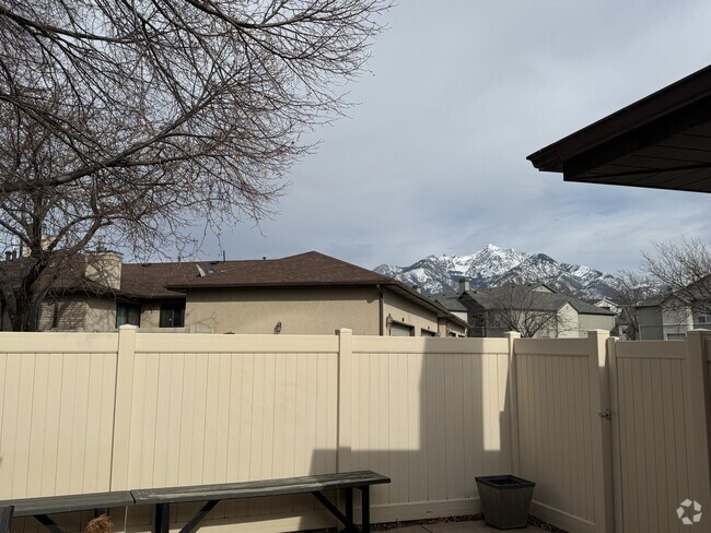
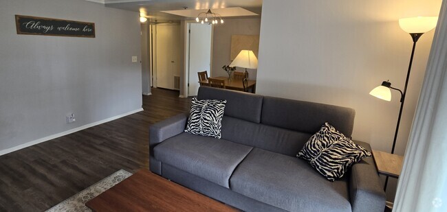
2150 S Main St
2150 S Main St
South Salt Lake, UT 84115
2 Weeks Ago
Favorites
2150 S Main St

Favorites
Check Back Soon for Upcoming Availability
Location
Get Directions
Situated just three miles south of Downtown Salt Lake City, South Salt Lake provides residents with close proximity to urban luxuries and outdoor recreation. The Jordan River Parkway Trail offers plenty of opportunities for recreation in South Salt Lake in addition to the nearby towering mountains, expansive golf courses, and diverse parks.
Regarded as a “City on the Move,” South Salt Lake is experiencing major commercial, industrial, and residential growth. South Salt Lake contains a bevy of unique restaurants, small businesses, and specialty markets, contributing to a distinct, exciting atmosphere. Getting around from South Salt Lake is easy with access to I-15, I-80, and the UTA light rail.
Learn more about living in South Salt Lake
Education
| Colleges & Universities | Distance | ||
|---|---|---|---|
| Colleges & Universities | Distance | ||
| Drive: | 7 min | 2.7 mi | |
| Drive: | 13 min | 5.4 mi | |
| Drive: | 14 min | 6.0 mi | |
| Drive: | 13 min | 7.3 mi |
2150 S Main St is within 7 minutes or 2.7 miles from Westminster College. It is also near The University of Utah and The Univ. of Utah, Ft Douglas.
Transportation options available in South Salt Lake include South Salt Lake City Station, located 0.2 mile from 2150 S Main St. 2150 S Main St is near Salt Lake City International, located 8.5 miles or 13 minutes away.
| Transit / Subway | Distance | ||
|---|---|---|---|
| Transit / Subway | Distance | ||
|
|
Walk: | 4 min | 0.2 mi |
|
|
Walk: | 9 min | 0.5 mi |
|
|
Walk: | 12 min | 0.6 mi |
|
|
Drive: | 3 min | 1.3 mi |
|
|
Drive: | 3 min | 1.4 mi |
| Commuter Rail | Distance | ||
|---|---|---|---|
| Commuter Rail | Distance | ||
|
|
Drive: | 9 min | 4.6 mi |
|
|
Drive: | 11 min | 5.9 mi |
|
|
Drive: | 17 min | 12.9 mi |
|
|
Drive: | 17 min | 13.0 mi |
|
|
Drive: | 23 min | 16.4 mi |
| Airports | Distance | ||
|---|---|---|---|
| Airports | Distance | ||
|
Salt Lake City International
|
Drive: | 13 min | 8.5 mi |
Time and distance from 2150 S Main St.
| Shopping Centers | Distance | ||
|---|---|---|---|
| Shopping Centers | Distance | ||
| Walk: | 8 min | 0.4 mi | |
| Walk: | 9 min | 0.5 mi | |
| Walk: | 11 min | 0.6 mi |
2150 S Main St has 3 shopping centers within 0.6 mile, which is about a 11-minute walk. The miles and minutes will be for the farthest away property.
| Parks and Recreation | Distance | ||
|---|---|---|---|
| Parks and Recreation | Distance | ||
|
Liberty Park
|
Drive: | 6 min | 2.8 mi |
|
California National Historic Trail
|
Drive: | 7 min | 3.0 mi |
|
International Peace Gardens
|
Drive: | 7 min | 3.1 mi |
|
Jordan River Parkway
|
Drive: | 8 min | 3.3 mi |
|
Tracy Aviary
|
Drive: | 9 min | 3.4 mi |
2150 S Main St has 5 parks within 3.4 miles, including Tracy Aviary, Liberty Park, and California National Historic Trail.
| Hospitals | Distance | ||
|---|---|---|---|
| Hospitals | Distance | ||
| Drive: | 3 min | 1.1 mi | |
| Drive: | 7 min | 3.6 mi | |
| Drive: | 8 min | 4.4 mi |
2150 S Main St has 3 hospitals within 4.4 miles, the nearest is Marian Center which is 1.1 miles away and a 3 minute drive.
| Military Bases | Distance | ||
|---|---|---|---|
| Military Bases | Distance | ||
| Drive: | 10 min | 6.9 mi |
2150 S Main St is 6.9 miles and a 10 minute drive from Salt Lake City Airport Air Guard Station.
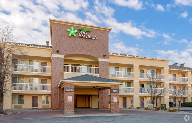
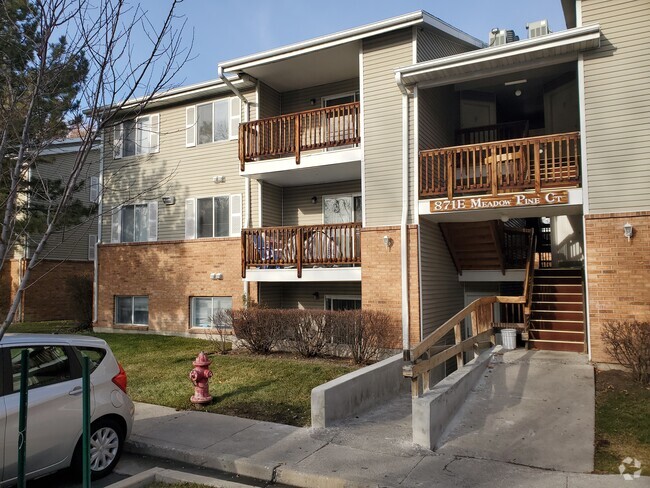
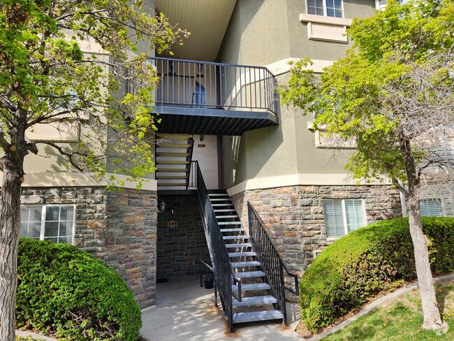
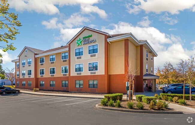
You May Also Like
Similar Rentals Nearby
What Are Walk Score®, Transit Score®, and Bike Score® Ratings?
Walk Score® measures the walkability of any address. Transit Score® measures access to public transit. Bike Score® measures the bikeability of any address.
What is a Sound Score Rating?
A Sound Score Rating aggregates noise caused by vehicle traffic, airplane traffic and local sources