22 Bateman St
Boston, MA 02131
-
Bedrooms
2
-
Bathrooms
1
-
Square Feet
800 sq ft
-
Available
Available Now

Fees and Policies
The fees below are based on community-supplied data and may exclude additional fees and utilities.
Details
Property Information
-
3 units
Contact
- Contact
The Neponset River Reservation expands along the southeastern border of the West Street – River Street neighborhood. It’s a great local green space with a beach and two-mile bike trail called Quincy RiverWalk – the perfect little oasis in such a large city!
And speaking of green spaces, residents enjoy having the George Wright Golf Course, Ross Playground, and Sherrin Woods nearby. You’ll find everything from cafes to fast-causal restaurants down the road in Hyde Park. You’re just nine miles outside of downtown Boston, and 14 miles from the international airport. Public transit stops are plentiful and can take you nearly anywhere you need to go in Boston.
Learn more about living in West Street-River Street| Colleges & Universities | Distance | ||
|---|---|---|---|
| Colleges & Universities | Distance | ||
| Drive: | 9 min | 3.3 mi | |
| Drive: | 11 min | 5.3 mi | |
| Drive: | 11 min | 5.8 mi | |
| Drive: | 12 min | 5.9 mi |
 The GreatSchools Rating helps parents compare schools within a state based on a variety of school quality indicators and provides a helpful picture of how effectively each school serves all of its students. Ratings are on a scale of 1 (below average) to 10 (above average) and can include test scores, college readiness, academic progress, advanced courses, equity, discipline and attendance data. We also advise parents to visit schools, consider other information on school performance and programs, and consider family needs as part of the school selection process.
View GreatSchools Rating Methodology
Transportation options available in Boston include Forest Hills Station, located 2.5 miles from 22 Bateman St. 22 Bateman St is near General Edward Lawrence Logan International, located 10.7 miles or 22 minutes away.
| Transit / Subway | Distance | ||
|---|---|---|---|
| Transit / Subway | Distance | ||
|
|
Drive: | 6 min | 2.5 mi |
|
|
Drive: | 6 min | 2.7 mi |
|
|
Drive: | 7 min | 3.3 mi |
|
|
Drive: | 8 min | 3.3 mi |
|
|
Drive: | 8 min | 3.4 mi |
| Commuter Rail | Distance | ||
|---|---|---|---|
| Commuter Rail | Distance | ||
|
|
Drive: | 4 min | 1.8 mi |
|
|
Drive: | 5 min | 1.8 mi |
|
|
Drive: | 6 min | 1.9 mi |
|
|
Drive: | 5 min | 2.0 mi |
|
|
Drive: | 6 min | 2.4 mi |
| Airports | Distance | ||
|---|---|---|---|
| Airports | Distance | ||
|
General Edward Lawrence Logan International
|
Drive: | 22 min | 10.7 mi |
Time and distance from 22 Bateman St.
| Shopping Centers | Distance | ||
|---|---|---|---|
| Shopping Centers | Distance | ||
| Drive: | 4 min | 1.3 mi | |
| Drive: | 4 min | 1.5 mi | |
| Drive: | 4 min | 1.6 mi |
| Parks and Recreation | Distance | ||
|---|---|---|---|
| Parks and Recreation | Distance | ||
|
Stony Brook Reservation
|
Drive: | 5 min | 2.2 mi |
|
Mass Audubon's Boston Nature Center and Wildlife Sanctuary
|
Drive: | 6 min | 2.2 mi |
|
Arnold Arboretum of Harvard University
|
Drive: | 6 min | 2.4 mi |
|
Brook Farm Historic Site
|
Drive: | 9 min | 3.4 mi |
|
Franklin Park Zoo
|
Drive: | 10 min | 4.7 mi |
| Hospitals | Distance | ||
|---|---|---|---|
| Hospitals | Distance | ||
| Drive: | 7 min | 2.7 mi | |
| Drive: | 7 min | 2.9 mi | |
| Drive: | 9 min | 3.8 mi |
| Military Bases | Distance | ||
|---|---|---|---|
| Military Bases | Distance | ||
| Drive: | 29 min | 14.3 mi |
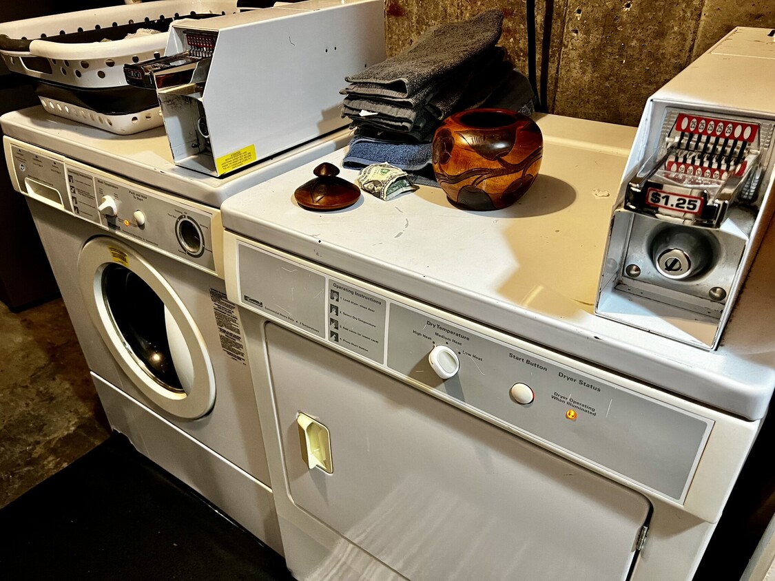
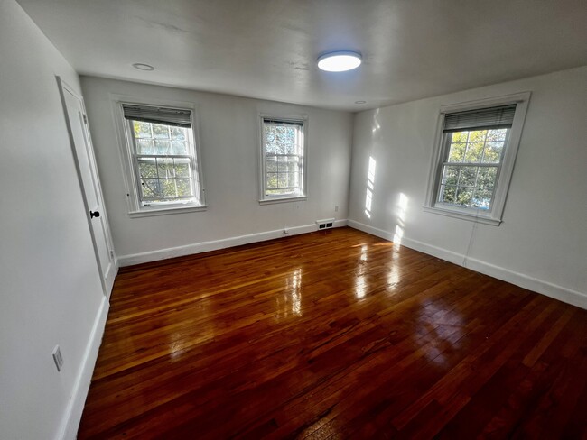
22 Bateman St Photos
What Are Walk Score®, Transit Score®, and Bike Score® Ratings?
Walk Score® measures the walkability of any address. Transit Score® measures access to public transit. Bike Score® measures the bikeability of any address.
What is a Sound Score Rating?
A Sound Score Rating aggregates noise caused by vehicle traffic, airplane traffic and local sources


