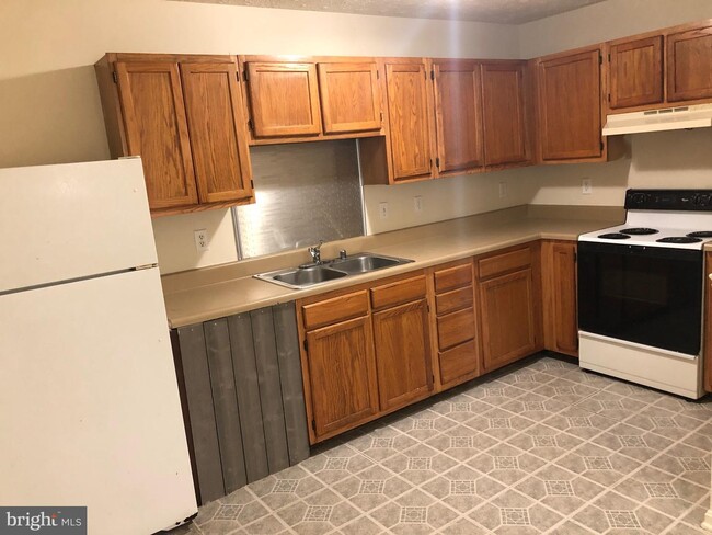
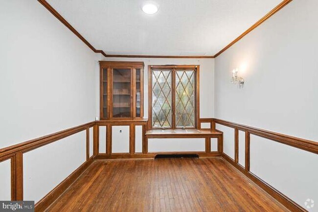
$1,400 / Month
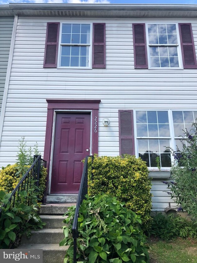
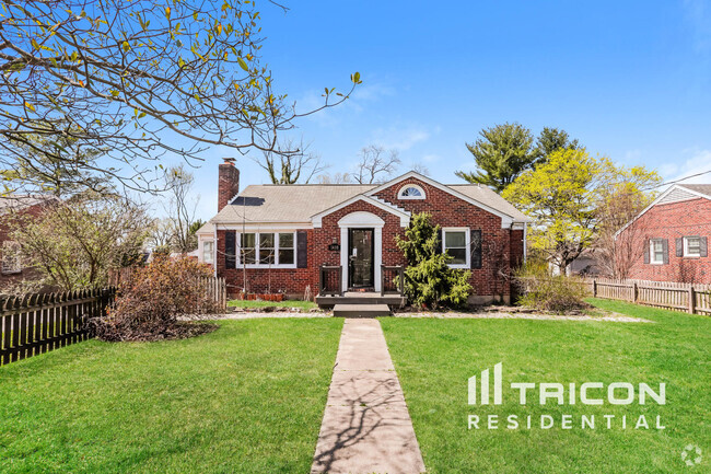
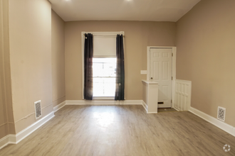
2226 Melrose Ln
Forest Hill, MD 21050
2 Weeks Ago
Favorites
2226 Melrose Ln

Favorites
Check Back Soon for Upcoming Availability
| Beds | Baths | Average SF |
|---|---|---|
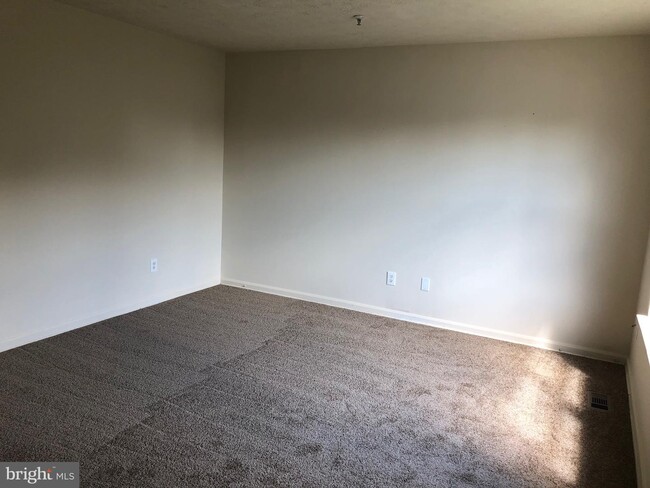
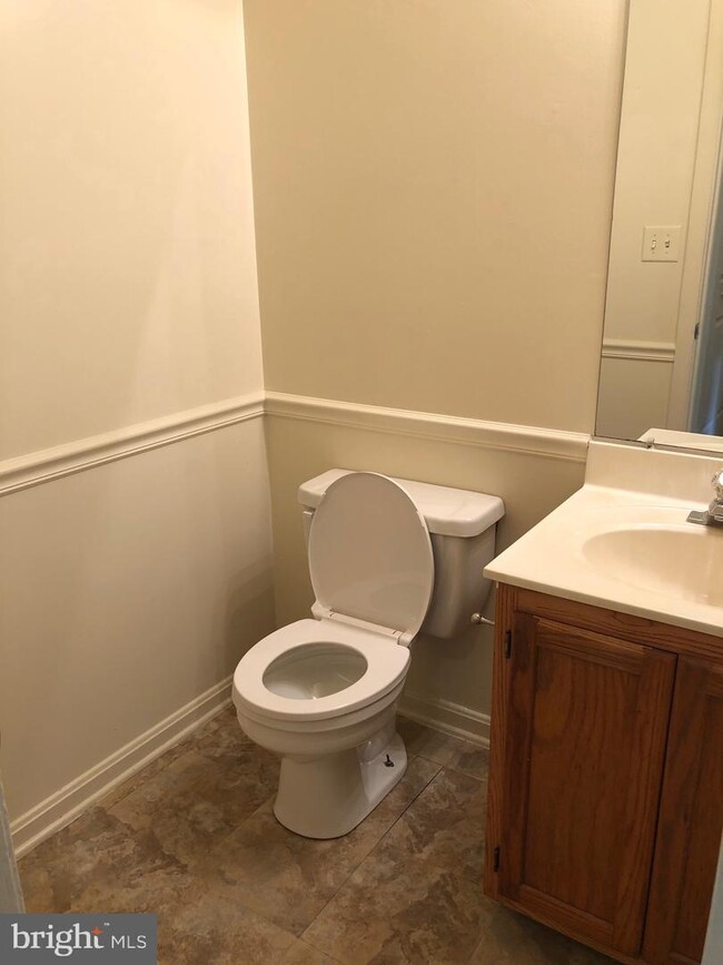
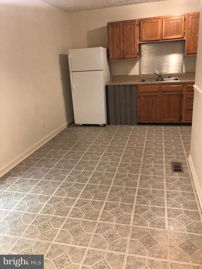
| 3 Bedrooms 3 Bedrooms 3 Br | 2 Baths 2 Baths 2 Ba | 1,100 SF |
Location
Get Directions
Bel Air North is a neighborhood in the northern part of the city of Bel Air. It’s located in the Baltimore-Washington metropolitan area about 70 miles north of Washington, DC and 30 miles north of Baltimore. This neighborhood is a quiet residential community of single-family homes, duplexes, townhomes, and condos. Most of the homes were built between the 1950s and the 1980s and sit on spacious, wooded lots. Thanks to Bel Air North’s lush setting, golf courses, parks, and streams are plentiful and provide an array of outdoor adventures.
Learn more about living in Bel Air NorthBelow are rent ranges for similar nearby apartments
Education
| Colleges & Universities | Distance | ||
|---|---|---|---|
| Colleges & Universities | Distance | ||
| Drive: | 15 min | 6.9 mi | |
| Drive: | 35 min | 18.5 mi | |
| Drive: | 42 min | 23.2 mi | |
| Drive: | 44 min | 24.4 mi |
2226 Melrose Ln is within 15 minutes or 6.9 miles from Harford Community College. It is also near CCBC Essex and Goucher College.
Schools


Public Elementary School
Grades PK-5
532 Students
Nearby
Public Elementary School
Grades K-5
428 Students
Attendance Zone
Public Middle School
Grades 6-8
1,138 Students
Attendance Zone
Public High School
Grades 9-12
1,489 Students
Attendance Zone
Private Elementary & Middle School
Grades PK-8
276 Students
Nearby
Private Elementary & Middle School
Grades K-8
35 Students
Nearby
Private Elementary School
Grades K-4
19 Students
Nearby
Private High School
Grades 9-12
686 Students
Nearby
Private High School
Grades 10-11
8 Students
Nearby
School data provided by
 The GreatSchools Rating helps parents compare schools within a state based on a variety of school quality indicators and provides a helpful picture of how effectively each school serves all of its students. Ratings are on a scale of 1 (below average) to 10 (above average) and can include test scores, college readiness, academic progress, advanced courses, equity, discipline and attendance data. We also advise parents to visit schools, consider other information on school performance and programs, and consider family needs as part of the school selection process.
View GreatSchools Rating Methodology
View GreatSchools Rating Methodology
Transportation options available in Forest Hill include Hunt Valley, located 23.2 miles from 2226 Melrose Ln. 2226 Melrose Ln is near Baltimore/Washington International Thurgood Marshall, located 39.8 miles or 59 minutes away.
| Transit / Subway | Distance | ||
|---|---|---|---|
| Transit / Subway | Distance | ||
|
|
Drive: | 42 min | 23.2 mi |
|
|
Drive: | 43 min | 23.2 mi |
|
|
Drive: | 42 min | 23.5 mi |
|
|
Drive: | 44 min | 24.6 mi |
|
|
Drive: | 44 min | 26.3 mi |
| Commuter Rail | Distance | ||
|---|---|---|---|
| Commuter Rail | Distance | ||
|
|
Drive: | 23 min | 12.7 mi |
|
|
Drive: | 26 min | 14.8 mi |
|
|
Drive: | 36 min | 21.9 mi |
|
|
Drive: | 36 min | 21.9 mi |
|
|
Drive: | 49 min | 29.4 mi |
| Airports | Distance | ||
|---|---|---|---|
| Airports | Distance | ||
|
Baltimore/Washington International Thurgood Marshall
|
Drive: | 59 min | 39.8 mi |
Time and distance from 2226 Melrose Ln.
| Shopping Centers | Distance | ||
|---|---|---|---|
| Shopping Centers | Distance | ||
| Walk: | 18 min | 1.0 mi | |
| Drive: | 4 min | 1.1 mi | |
| Drive: | 3 min | 1.1 mi |
2226 Melrose Ln has 3 shopping centers within 1.1 miles, which is about a 3-minute walk. The miles and minutes will be for the farthest away property.
| Parks and Recreation | Distance | ||
|---|---|---|---|
| Parks and Recreation | Distance | ||
|
Gunpowder Falls State Park
|
Drive: | 17 min | 8.7 mi |
|
Anita C. Leight Estuary Center
|
Drive: | 23 min | 11.5 mi |
|
Ladew Gardens
|
Drive: | 22 min | 12.3 mi |
|
Rocks State Park
|
Drive: | 23 min | 13.3 mi |
|
Eden Mill Nature Center
|
Drive: | 26 min | 14.7 mi |
2226 Melrose Ln has 5 parks within 14.7 miles, including Gunpowder Falls State Park, Rocks State Park, and Ladew Gardens.
| Hospitals | Distance | ||
|---|---|---|---|
| Hospitals | Distance | ||
| Drive: | 9 min | 4.4 mi |
2226 Melrose Ln is 4.4 miles and a 9 minute drive from University of Maryland Upper Chesapeake Medical Center.
| Military Bases | Distance | ||
|---|---|---|---|
| Military Bases | Distance | ||
| Drive: | 70 min | 46.3 mi |
2226 Melrose Ln is 46.3 miles and a 70 minute drive from Fort George Meade.
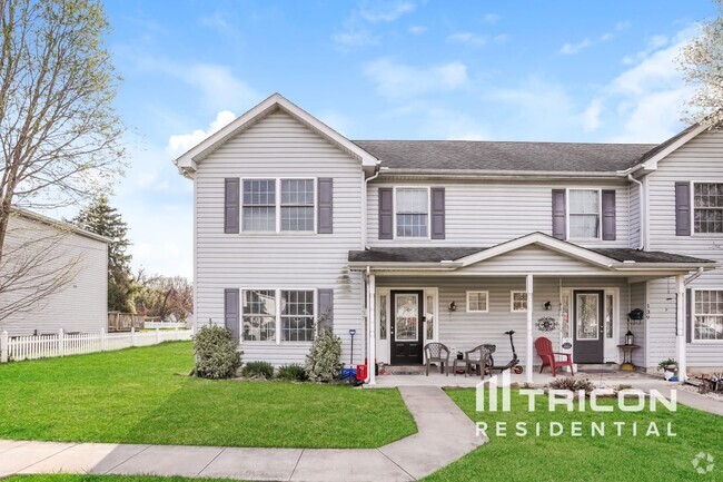
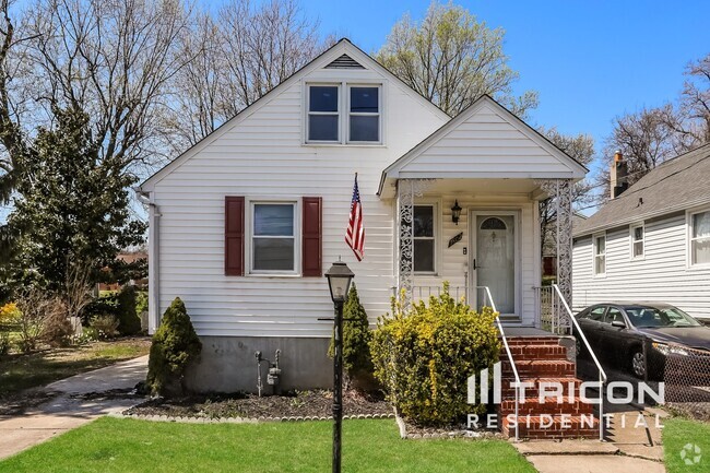
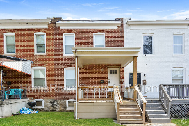
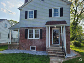
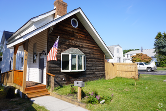
You May Also Like
Similar Rentals Nearby


What Are Walk Score®, Transit Score®, and Bike Score® Ratings?
Walk Score® measures the walkability of any address. Transit Score® measures access to public transit. Bike Score® measures the bikeability of any address.
What is a Sound Score Rating?
A Sound Score Rating aggregates noise caused by vehicle traffic, airplane traffic and local sources

2226 Melrose Ln
Forest Hill, MD 21050