
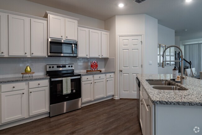
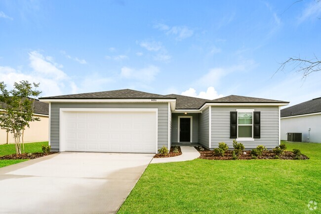
$1,100 / Month
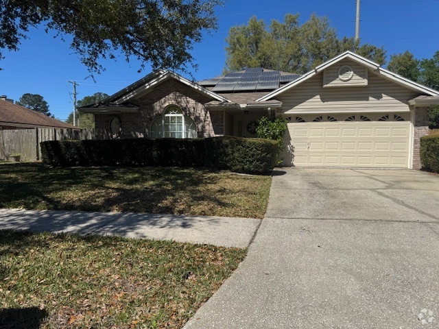
2227 Blanding Blvd
Jacksonville, FL 32210
2 Weeks Ago
Favorites
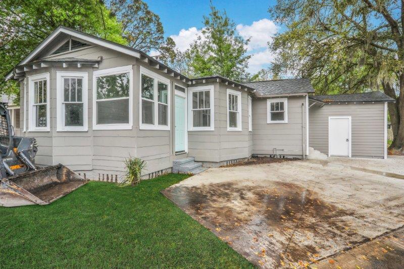
2227 Blanding Blvd

Favorites
Check Back Soon for Upcoming Availability
| Beds | Baths | Average SF |
|---|---|---|
| 2 Bedrooms 2 Bedrooms 2 Br | 1 Bath 1 Bath 1 Ba | 1,007 SF |
Location
Get Directions
Situated on the junction of the Cedar and Ortega Rivers just seven miles southwest of Jacksonville, Lakeshore has numerous houses for rent. The residential southern part of this region lies closest to the river, while the majority of commerce can be found at Northside.
Criswell Park, in the northeast part of the neighborhood, welcomes athletic Lakeshore residents by offering facilities for baseball, basketball, and football. The park also has picnic shelters with several tables and some youth sports programs.
Residents can take a 15-minute drive north towards Downtown Jacksonville, while enjoying the 20-mile stretch of beach lining the St. Johns River.
Learn more about living in LakeshoreBelow are rent ranges for similar nearby apartments
Education
| Colleges & Universities | Distance | ||
|---|---|---|---|
| Colleges & Universities | Distance | ||
| Drive: | 13 min | 7.1 mi | |
| Drive: | 25 min | 12.4 mi | |
| Drive: | 24 min | 12.7 mi | |
| Drive: | 24 min | 14.8 mi |
2227 Blanding Blvd is within 13 minutes or 7.1 miles from Fla. State Coll. Jacksonville. It is also near Jacksonville University and St. Johns River, Orange Park.
Schools


Public Elementary School
Grades PK-5
330 Students
Attendance Zone
Public Middle School
Grades 6-8
972 Students
Attendance Zone
Public High School
Grades 9-12
1,567 Students
Attendance Zone
Private Elementary, Middle & High School
Grades PK-12
Nearby
Private Elementary School
Grades K-1
Nearby
School data provided by
 The GreatSchools Rating helps parents compare schools within a state based on a variety of school quality indicators and provides a helpful picture of how effectively each school serves all of its students. Ratings are on a scale of 1 (below average) to 10 (above average) and can include test scores, college readiness, academic progress, advanced courses, equity, discipline and attendance data. We also advise parents to visit schools, consider other information on school performance and programs, and consider family needs as part of the school selection process.
View GreatSchools Rating Methodology
View GreatSchools Rating Methodology
Transportation options available in Jacksonville include Convention Center, located 6.2 miles from 2227 Blanding Blvd. 2227 Blanding Blvd is near Jacksonville International, located 20.1 miles or 31 minutes away.
| Transit / Subway | Distance | ||
|---|---|---|---|
| Transit / Subway | Distance | ||
|
|
Drive: | 11 min | 6.2 mi |
|
|
Drive: | 11 min | 6.3 mi |
|
|
Drive: | 13 min | 7.0 mi |
|
|
Drive: | 13 min | 7.0 mi |
|
|
Drive: | 15 min | 9.0 mi |
| Commuter Rail | Distance | ||
|---|---|---|---|
| Commuter Rail | Distance | ||
|
|
Drive: | 16 min | 7.3 mi |
| Airports | Distance | ||
|---|---|---|---|
| Airports | Distance | ||
|
Jacksonville International
|
Drive: | 31 min | 20.1 mi |
Time and distance from 2227 Blanding Blvd.
| Shopping Centers | Distance | ||
|---|---|---|---|
| Shopping Centers | Distance | ||
| Walk: | 5 min | 0.3 mi | |
| Walk: | 12 min | 0.6 mi | |
| Drive: | 3 min | 1.3 mi |
2227 Blanding Blvd has 3 shopping centers within 1.3 miles, which is about a 3-minute walk. The miles and minutes will be for the farthest away property.
| Parks and Recreation | Distance | ||
|---|---|---|---|
| Parks and Recreation | Distance | ||
|
The Cummer Museum of Art and Gardens
|
Drive: | 10 min | 4.5 mi |
|
Ringhaver Park
|
Drive: | 9 min | 4.6 mi |
|
Fowler Regional Park
|
Drive: | 9 min | 5.4 mi |
|
McGirts Creek Park
|
Drive: | 14 min | 6.2 mi |
|
Jessie Ball DuPont Park
|
Drive: | 12 min | 6.6 mi |
2227 Blanding Blvd has 5 parks within 6.6 miles, including Ringhaver Park, The Cummer Museum of Art and Gardens, and Fowler Regional Park.
| Hospitals | Distance | ||
|---|---|---|---|
| Hospitals | Distance | ||
| Drive: | 9 min | 3.8 mi | |
| Drive: | 12 min | 6.5 mi | |
| Drive: | 15 min | 7.2 mi |
2227 Blanding Blvd has 3 hospitals within 7.2 miles, the nearest is Ascension St. Vincent's Riverside which is 3.8 miles away and a 9 minute drive.
| Military Bases | Distance | ||
|---|---|---|---|
| Military Bases | Distance | ||
| Drive: | 13 min | 7.1 mi | |
| Drive: | 20 min | 12.4 mi |
2227 Blanding Blvd is 7.1 miles from Jacksonville Naval Air Station, and is convenient to other military bases, including Cecil Field Naval Air Station.
You May Also Like
Similar Rentals Nearby


What Are Walk Score®, Transit Score®, and Bike Score® Ratings?
Walk Score® measures the walkability of any address. Transit Score® measures access to public transit. Bike Score® measures the bikeability of any address.
What is a Sound Score Rating?
A Sound Score Rating aggregates noise caused by vehicle traffic, airplane traffic and local sources
2227 Blanding Blvd
Jacksonville, FL 32210