$970 / Month
234 S Dunlap St Unit 7
Saint Paul, MN 55105
Today
Favorites
612-440-1582
-
Bedrooms
Studio
-
Bathrooms
1
-
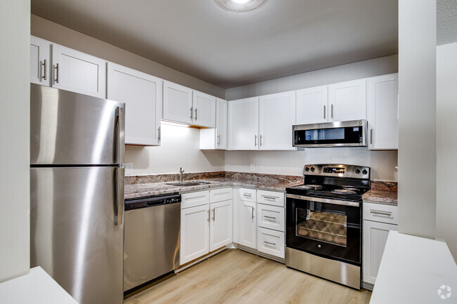
Square Feet
600 sq ft
-
Available
Available Now
234 S Dunlap St Unit 7

Favorites
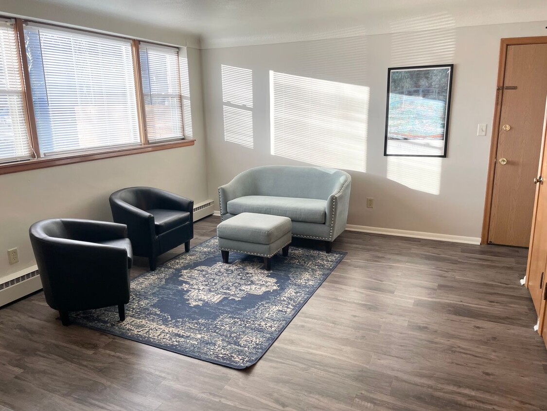
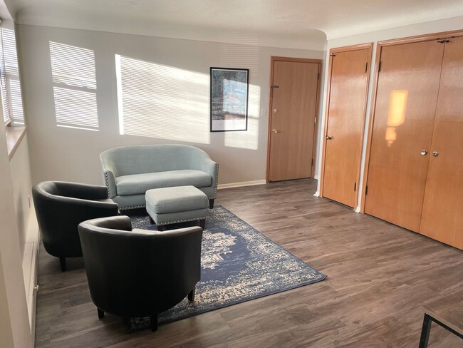
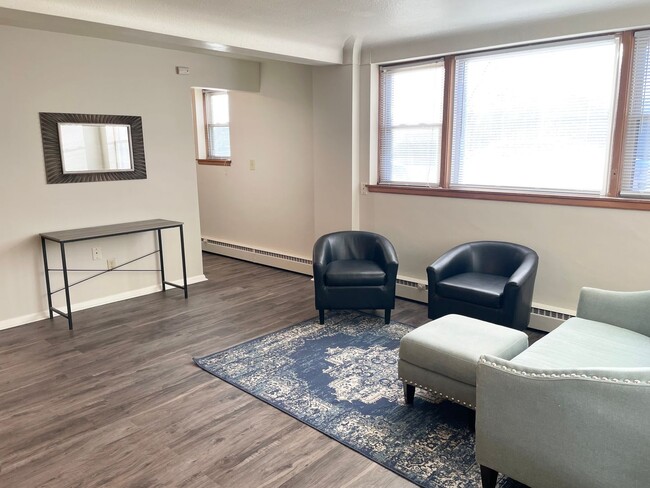
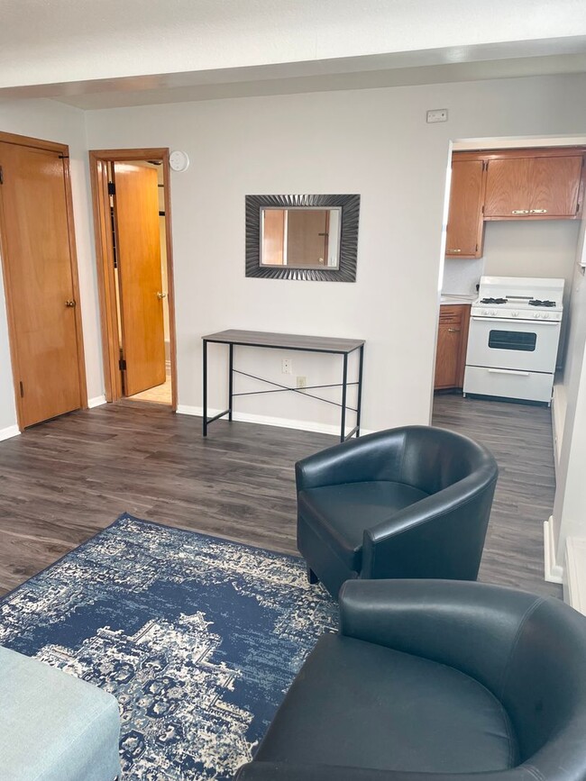
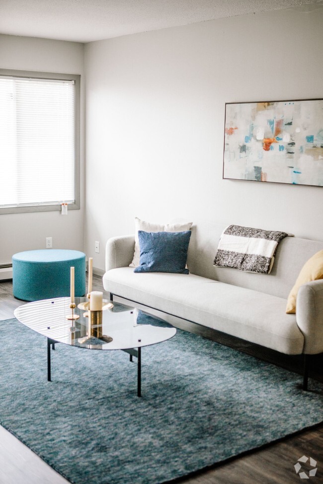
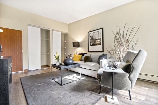
About This Home
$970 deposit,
Available Now
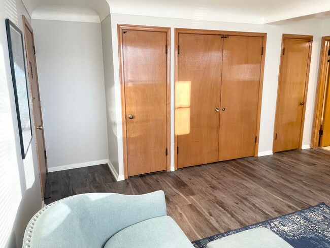
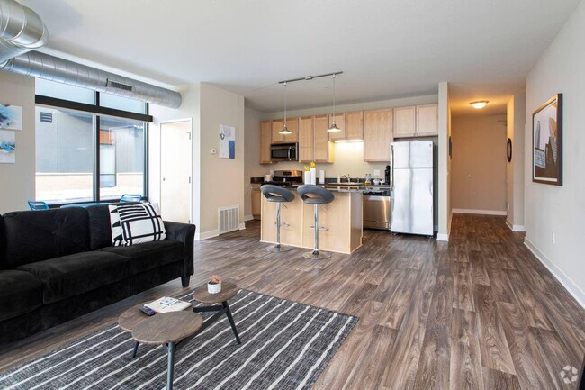
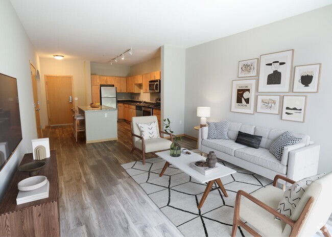
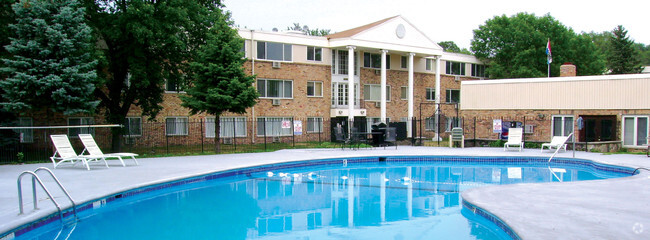
This vintage 12-unit apartment building on the corner of St. Clair and Dunlap, easy access to Ayd Mill Road. This quiet property is professionally manage, great condition, and character and charm. There is laundry on site and no smoking is permitted. Owner pays for heat, water, sewer, trash, and recycling. Renter pays for cooking gas and electricity. - Pets: Cats allowed $25/month fee. Sorry, no dogs. - Non-smoking building - Assigned storage unit. - On-Site Laundry - $15 dollars per month. - Heat, Water, Sewer, Trash included in the rent. - Resident pays electricity and cooking gas. - Off-street parking available
234 S Dunlap St is an apartment community located in Ramsey County and the 55105 ZIP Code.
* Price shown is base rent and may not include non-optional fees and utilities.
Price, availability, fees, and any applicable rent special are subject to change without notice.
* Square footage definitions vary. Displayed square footage is approximate.
Contact
- Listed by Relay Properties | Relay Properties
- Phone Number
- Contact
Location
Get Directions
Situated in beautiful Saint Paul along the eastern border of Minneapolis, the Summit Hill neighborhood features oak-lined boulevards and historic Victorian mansions. Considering its location three miles west of downtown Saint Paul and eight miles east of downtown Minneapolis, this area an ideal neighborhood for commuters to either city. The centerpieces of the pedestrian-friendly neighborhood are its stately cathedral and its bustling commercial center along Grand Avenue. Summit Avenue was recently named one of America’s 10 Great Streets by the American Planning Association.
Home to locally and nationally owned restaurants, galleries and businesses, Summit Hill provides a safe, historic and vibrant community for both homeowners and renters.
Learn more about living in Summit Hill
Education
| Colleges & Universities | Distance | ||
|---|---|---|---|
| Colleges & Universities | Distance | ||
| Drive: | 3 min | 1.2 mi | |
| Drive: | 3 min | 1.4 mi | |
| Drive: | 7 min | 2.4 mi | |
| Drive: | 7 min | 3.1 mi |
234 S Dunlap St Unit 7 is within 3 minutes or 1.2 miles from Macalester College. It is also near Concordia Univ.-Saint Paul and St. Catherine University.
Transportation options available in Saint Paul include Lexington Pkwy Station, located 1.7 miles from 234 S Dunlap St Unit 7. 234 S Dunlap St Unit 7 is near Minneapolis-St Paul International/Wold-Chamberlain, located 6.8 miles or 13 minutes away.
| Transit / Subway | Distance | ||
|---|---|---|---|
| Transit / Subway | Distance | ||
| Drive: | 5 min | 1.7 mi | |
| Drive: | 5 min | 2.0 mi | |
| Drive: | 5 min | 2.3 mi | |
| Drive: | 5 min | 2.5 mi | |
| Drive: | 6 min | 2.5 mi |
| Commuter Rail | Distance | ||
|---|---|---|---|
| Commuter Rail | Distance | ||
|
|
Drive: | 8 min | 3.7 mi |
|
|
Drive: | 18 min | 8.7 mi |
|
|
Drive: | 26 min | 17.3 mi |
|
|
Drive: | 36 min | 26.1 mi |
|
|
Drive: | 37 min | 27.7 mi |
| Airports | Distance | ||
|---|---|---|---|
| Airports | Distance | ||
|
Minneapolis-St Paul International/Wold-Chamberlain
|
Drive: | 13 min | 6.8 mi |
Time and distance from 234 S Dunlap St Unit 7.
| Shopping Centers | Distance | ||
|---|---|---|---|
| Shopping Centers | Distance | ||
| Walk: | 18 min | 0.9 mi | |
| Walk: | 18 min | 1.0 mi | |
| Walk: | 19 min | 1.0 mi |
234 S Dunlap St Unit 7 has 3 shopping centers within 1.0 mile, which is about a 19-minute walk. The miles and minutes will be for the farthest away property.
| Parks and Recreation | Distance | ||
|---|---|---|---|
| Parks and Recreation | Distance | ||
|
Macalester College Observatory
|
Drive: | 3 min | 1.2 mi |
|
Highland Park and Golf Course
|
Drive: | 4 min | 2.0 mi |
|
Irvine Park
|
Drive: | 6 min | 2.5 mi |
|
Western Park
|
Drive: | 7 min | 3.3 mi |
|
Cherokee Regional Park
|
Drive: | 8 min | 3.4 mi |
234 S Dunlap St Unit 7 has 5 parks within 3.4 miles, including Macalester College Observatory, Highland Park and Golf Course, and Irvine Park.
| Hospitals | Distance | ||
|---|---|---|---|
| Hospitals | Distance | ||
| Drive: | 5 min | 2.2 mi | |
| Drive: | 6 min | 3.0 mi | |
| Drive: | 7 min | 3.4 mi |
234 S Dunlap St Unit 7 has 3 hospitals within 3.4 miles, the nearest is Allina United Hospital which is 2.2 miles away and a 5 minute drive.
| Military Bases | Distance | ||
|---|---|---|---|
| Military Bases | Distance | ||
| Drive: | 12 min | 5.6 mi |
234 S Dunlap St Unit 7 is 5.6 miles and a 12 minute drive from Fort Snelling Military Reservation.
You May Also Like
Similar Rentals Nearby


What Are Walk Score®, Transit Score®, and Bike Score® Ratings?
Walk Score® measures the walkability of any address. Transit Score® measures access to public transit. Bike Score® measures the bikeability of any address.
What is a Sound Score Rating?
A Sound Score Rating aggregates noise caused by vehicle traffic, airplane traffic and local sources

234 S Dunlap St
Saint Paul, MN 55105